


|
|
|
|
|
|
|
||||
|
|
|
|
|
|
|
|
|
|
|
|
|
|
|
|
|
|
|
|
|
|
|
|
|
|
|
|
|
|
|
|
|
|
|
|
|
|
|
|
|
|
|
|
|
|
|
|
|
|
|
|
|
|
|
|
|
|
|
|
|
|
|
|
|
|
|
|
|
| GPS Waypoint | Lat. | Long. | Description |
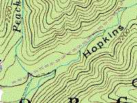
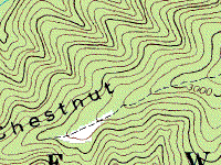
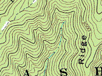
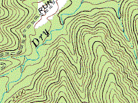
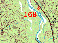
| 168 | 38 33 06.0 | -79 04 12.0 | Entrance to Dry River |
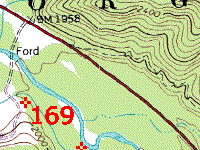
| 169 | 38 33 44.4 | -79 05 15.4 | Dam |
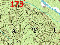
| 173 | 38 33 36.9 | -79 05 03.9 | Mud Hole |
| 172 | 38 33 57.9 | -79 05 14.3 | Dry Run Exit to road |
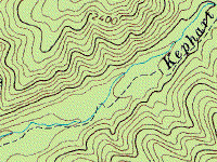
| 170 | 38 32 47.8 | -79 03 57.7 | Entrance to Kephart |
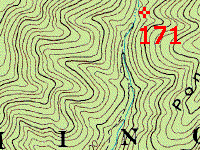
| 171 | 38 34 21.4 | -79 02 43.3 | Waterfall Rock |
Back to Dry River 5/27/01 Story | Dry River 9/2/01 Story | Off-Road Index
Shop for Jeep Toys and Books | See the Toy Jeeps | Off Road Links
Photos, Layout and Design © 2001 Paul M. Provencher All Rights Reserved.
Contents of this Web Site may not be used without written permission.
Since 3/9/2001
Updated 06/15/06 22:42:11 -0400