Prologue
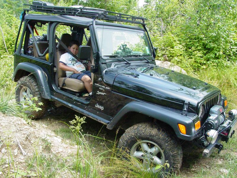
Ted and I decided to get
out of the house so we grabbed our cameras, removed the doors and
windows from the Jeep and hit the road. We drove over to Baker
Cemetery Road and checked out the cemetery there. Some folks
buried there lived long lives and others very short ones. It was
an interesting place.
We turned around at the
end of the road and backtracked out to the main road then poked into a
couple of the side lanes to see if they went anywhere. They all
dead-ended at people's homes so we went back to the main road once
again.
On the way in I had
spotted Quarry Road so we drove into that to see if it went anywhere.
We found a new sub-division out there with some pretty nice houses.
It looks like the area is built on an old strip mine. We found a
couple side-paths littered with coal remains. But no trails to
speak of.
Trail
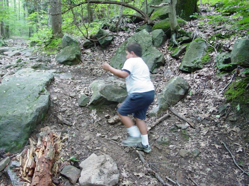
Back on Quarry Road we
continued and soon found a sign taking us off the road to the left and
pretty soon it was a rough dirt road with plenty of side trails to keep
us busy.
 
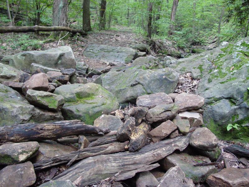
Most appear to be
logging roads but the main road continues up into the woods along
Darnell Hollow stream. Eventually it leads to a rough rocky
section. Just what the doctor ordered. Except that we had
gone out alone, without tools or winch kit, and with only a bottle of
Gator Aid each to keep us wet.
 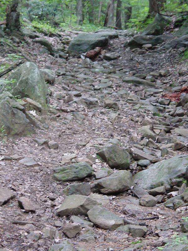 


I marked the turns and
location of the rocks on the GPS, took a few pictures and turned tail
for the main road. We will have to return with some friends and
our gear. This was not a section to be attempted unprepared!
Epilogue
Stand by! We shall
return!
Off
Road Index | Shop for
Jeep Toys and Books | See the
Toy Jeeps
|