Hike from Cooper's Rock to Mont Chateau

Kayak Group at Quarry Run

10/19/08

4X4 ICON 2000 - 2008 The DVD! - Click here for details!

4X4 ICON 2000 - 2008 The DVD!

Waypoints

Prologue

I was approached with the proposal to invite the Cub Scout Webelos to join the Boy Scout troop on a hike of three miles.  Our last hike like this was a little over three miles so I decided I would plot a hike that was the specified distance and offered a series of interesting points along the way.  In the end I came up with a hike that starts at Cooper's Rock and descends gradually to Mont Chateau near Cheat Narrows and the steel bridge.  It looked good on the map but I had only hiked 1/2 mile of the 3 miles planned so a reconnaissance trip was in order.

We'd had an animated discussion at home about what to wear on the hike.  I had put on my light-weight long johns and a couple layers of outerwear so I could adjust as we hiked.  Ted presented himself in shorts and a T-shirt...  Once that was settled (it was 45 degrees out...) all was well. 

Two things required investigation.  First, the start of the hike could in theory start from the side of busy Route 68 if there was a place to pull cars well off the road.  From there we could hike in the old access road to the Geocache on the trail, and continue on to the lower end of the service road in Cooper's Rock.  The second detail was the trail from the Henry Clay furnace to Mont Chateau.  We had driven down to Mont Chateau and found evidence that there was a trail but it passed through a rock field and was indiscernible from that end.  The map showed the trail ending just short of where Quarry Run empties into Cheat River, a few hundred yards from Mont Chateau.  I didn't want to risk danger on the side of the highway and a dead end trail at the bottom of a three mile walk, so decided to take my "test" Cub Scout" (Tomi), my first-year Boy Scout (Ted) and hike the trail and see what we could see.

Cooper's Rock to Mont Chateau Trail

Muster

The last detail was the trail distance.  If we walked the trail one-way, it was just about three miles.  But that left us with a problem.  We could drive to the trail head and hike down, but then the vehicle would be back at the trail head.  And we'd have to walk all the way back to get it.  To solve that problem I got my dear neighbor to follow me to Mont Chateau where we left the Jeep.  Then she drove us up Route 68 to the spot on the side of the road where the old access road comes in.  We soon learned that this worked great for us but would be too dangerous for a larger group.  There is no place to pull off the road and what little bit of shoulder there is, is badly eroded and on a blind curve.  So I helped my neighbor get back onto the highway without crashing and crossed this meeting place off the list.  For the Cub Scout Hike, we'll have to meet in Cooper's Rock near the Henry Clay Furnace parking area.

Trail

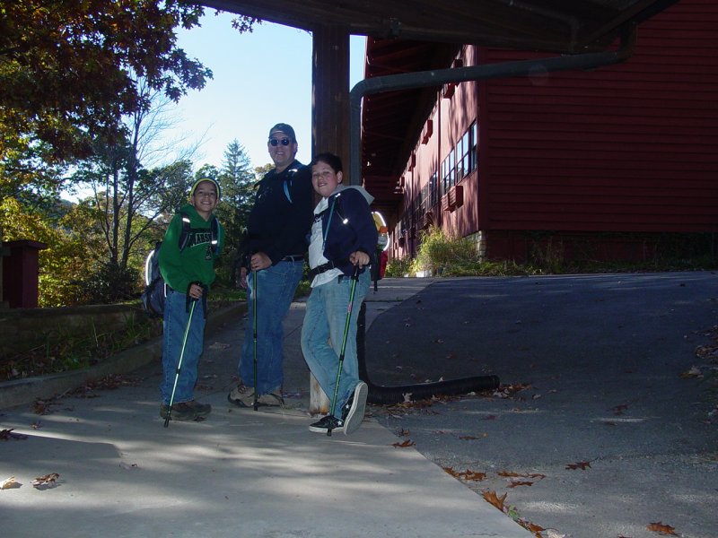
Once my neighbor was on her way, the boys and I bushwhacked a few hundred feet to the old access road.  It was a beautiful day and cool. 

Old Access Road

Pretty soon we reached a nearby Geocache where we stopped for lunch.

Preparing to Eat Lunch at the Cache

ppro at the cache

Cache FindsCache Finds

Cache FindsCache LogCache items left

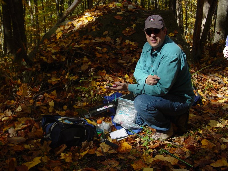
After logging the find, we got back on the trail.

Back on the Trail

Trail Clearing

Pretty soon we reached the Cooper's Rock parking area for the Henry Clay furnace.

Lost Dog Note on Bulletin Board

Entrance to Clay Furnace with Tom and Ted

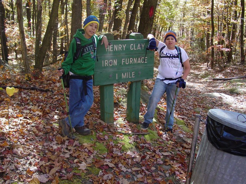
There were lots of people out.  It was just a 
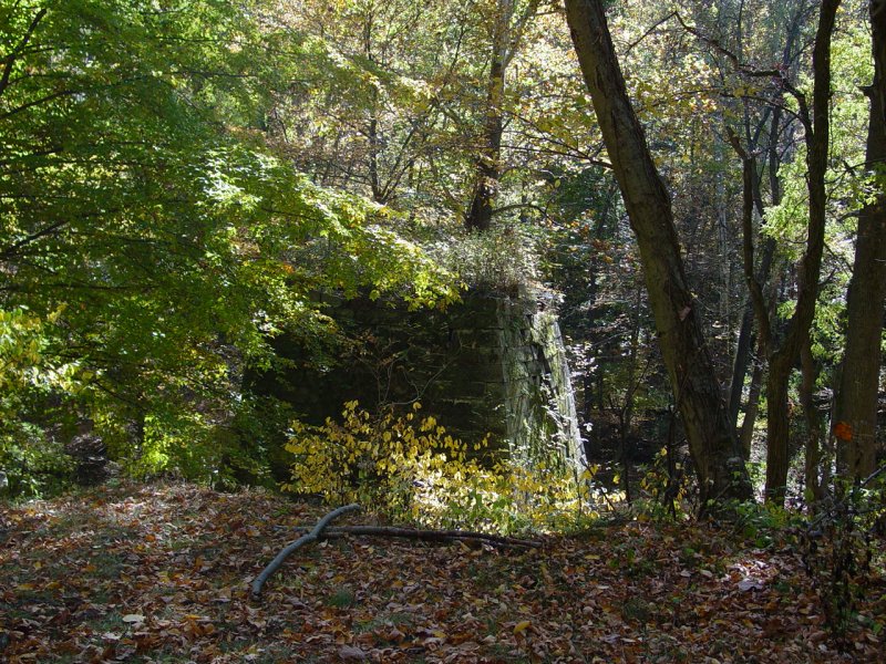
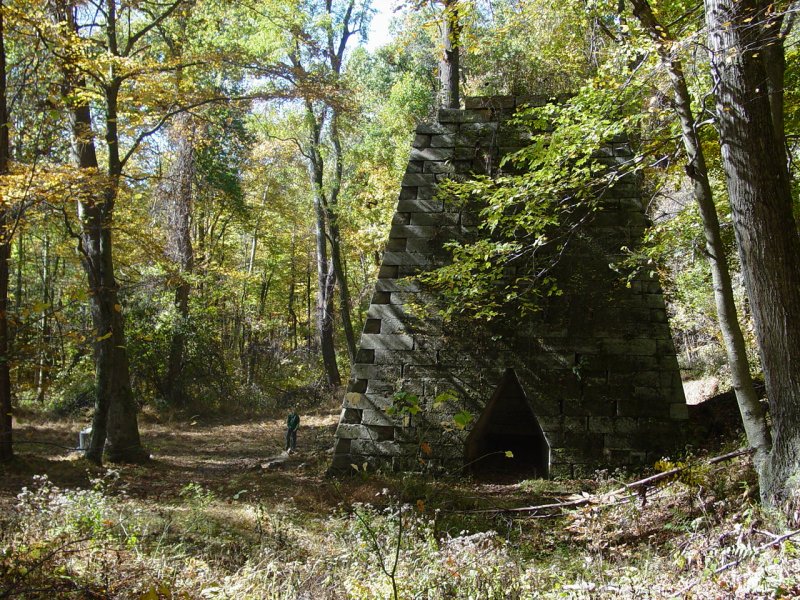
great day for walking in the woods.  We soon reached the furnace and took a short break.

Clay Furnace
Clay Furnace with Tomi to the Left

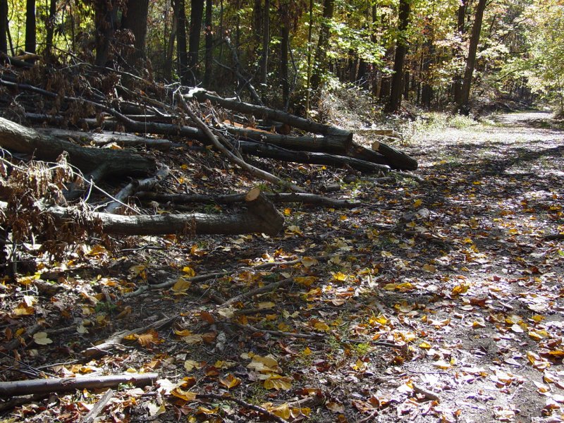
I don't know why people insist on bringing stuff down to places like this and then expecting someone else to bring it back for them.  It's quite saddening.

Some People...

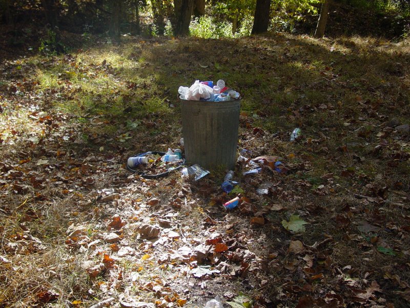
At least some leave no trace...

Insect at Clay Furnace

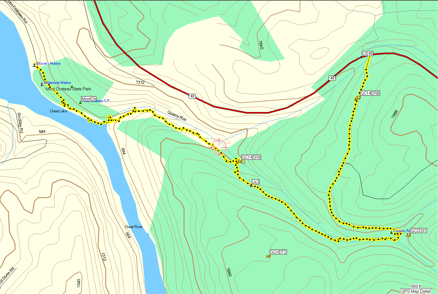
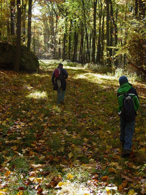
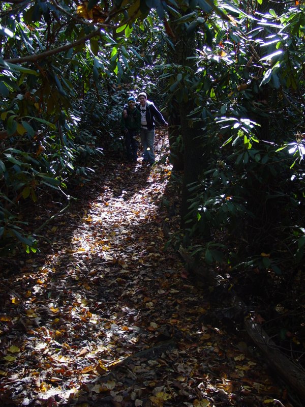
From here on out we were flying by instruments.  I had carefully traced the trail from the map onto a GPS track that I used to keep us going in the right direction.  Still, it turned out there was a "high" trail and a "low" trail - one path on either side of 
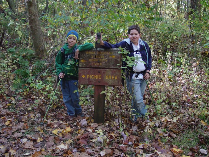
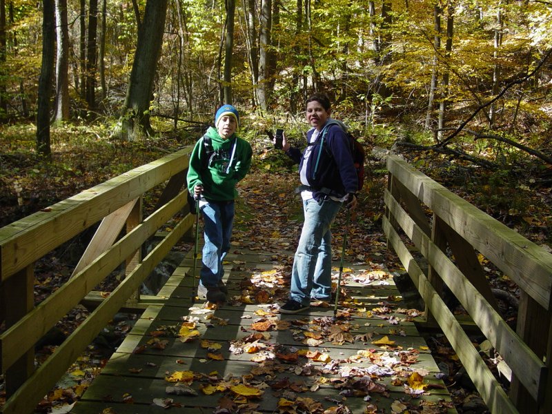
Quarry Run...  We took the high trail, crossing the footbridge at the sign.  We did not go to the picnic area but rather turned right after crossing the bridge and continuing toward the Cheat River.

On the Trail with Tomi and Ted

Crossing Quarry Run

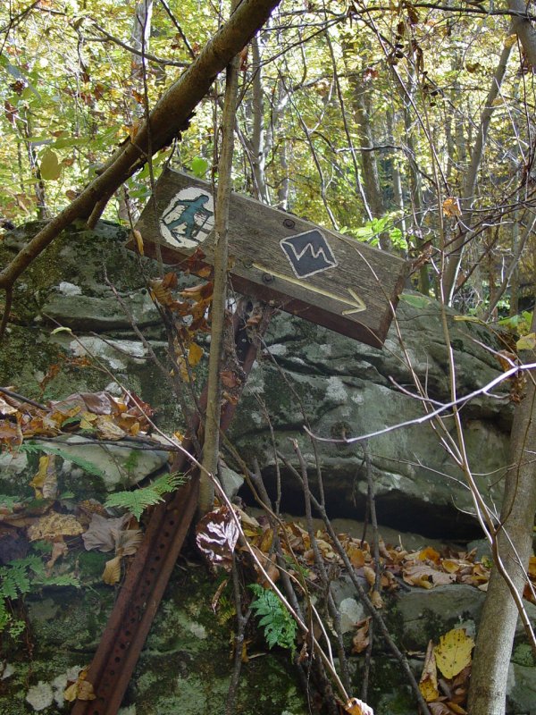
Along the way we noticed cross-country ski trail markers like this one.

Old Ski Trail Sign

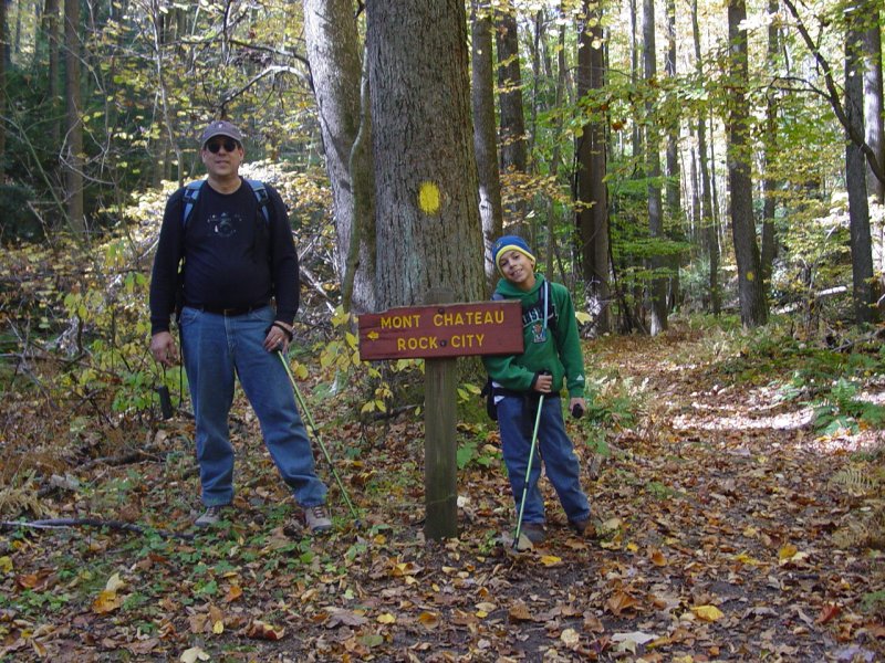
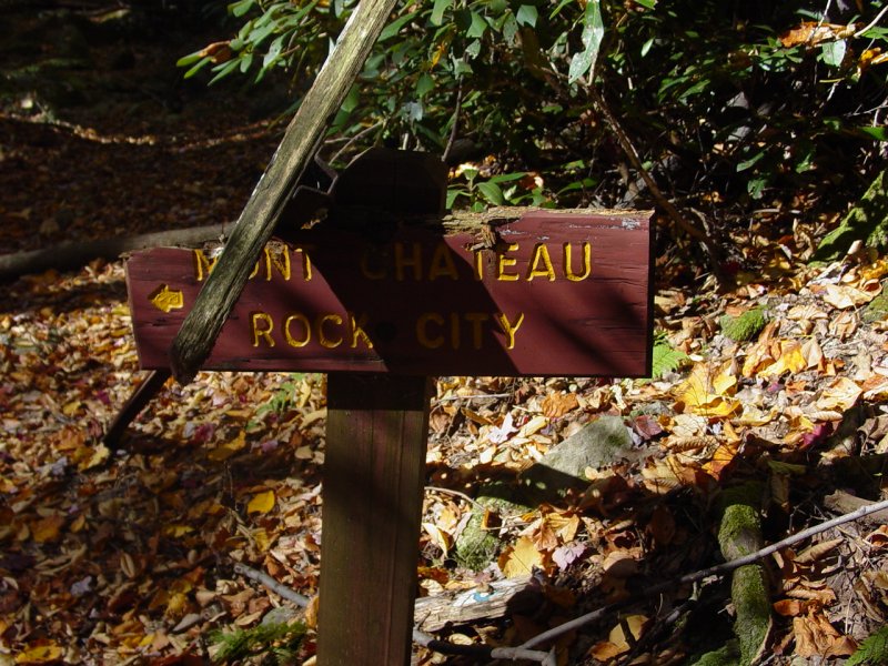
Oh great!  Rock City!  What does that mean...?  Let's find out...
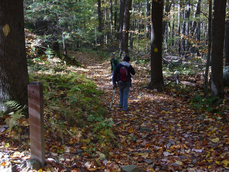
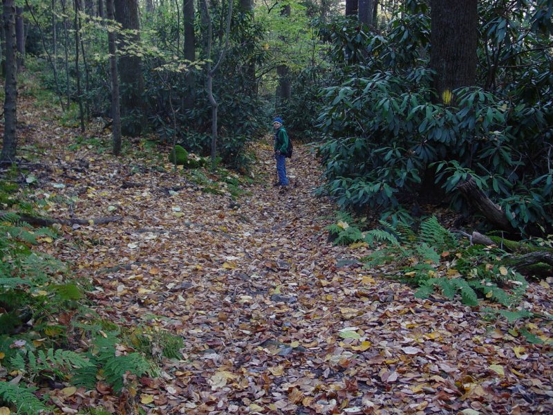
Paul and Tomi

Tomi

More trail signs...

Old Trail Sign

Tomi on the Trail

We took a bushwhack near here to reach a geocache that was at a 90-degree angle to the trail.  We didn't need to.  The lower trail met up with our trail a few yards down the path - we could have just walked down there on the trail and back-tracked a few feet!  To top it off, I didn't have the clues with me and we didn't find the cache!  Next time!

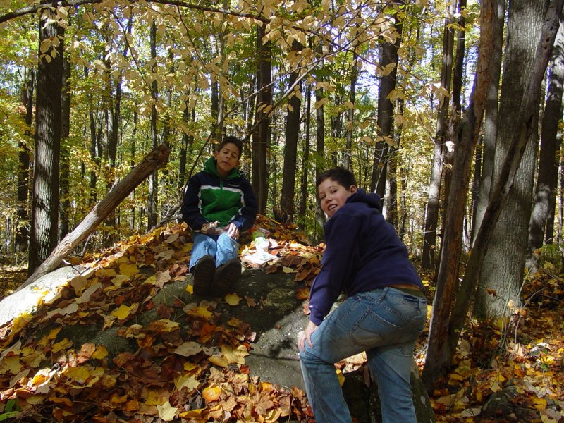
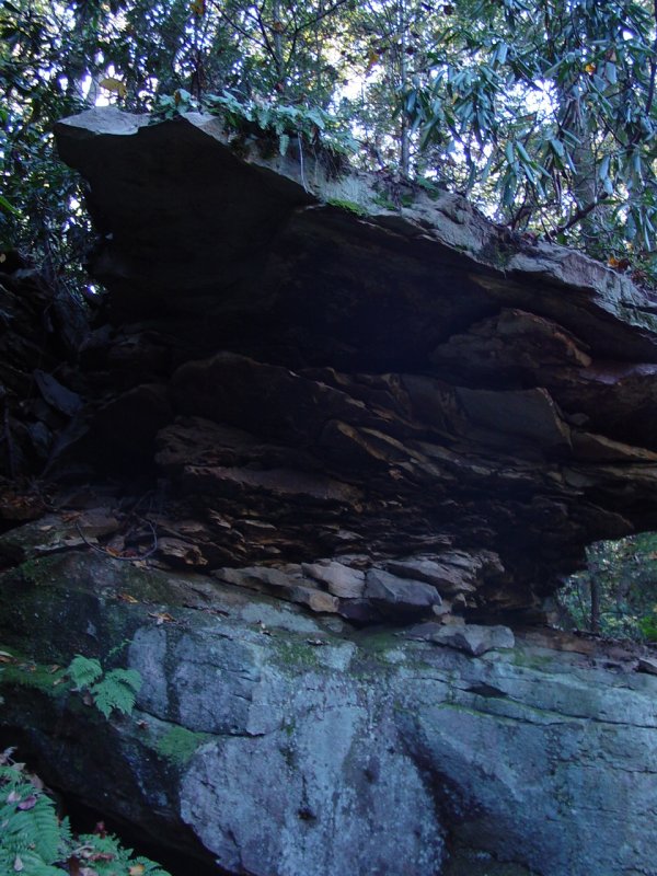
Some interesting rocks along the way...

Deteriorating Rock
Deteriorating Rock

Brotherly Love?

Tomi and Ted on the Trail

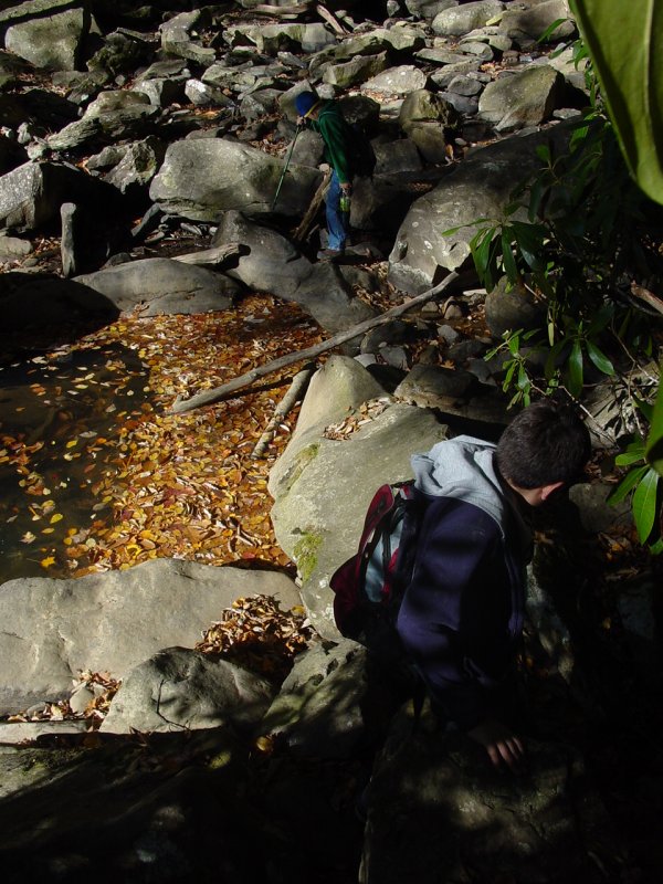
Pretty soon we came to the end of the marked trail.  Here, the trail turns to the right and scrambles down to Quarry Run, where we crossed.

Climbing down to Quarry Run

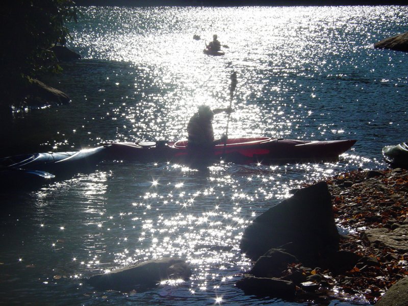
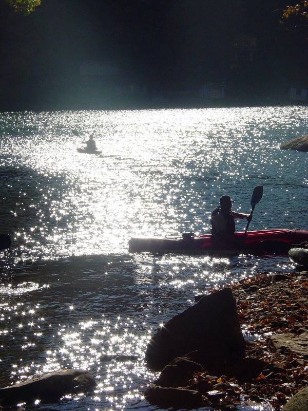
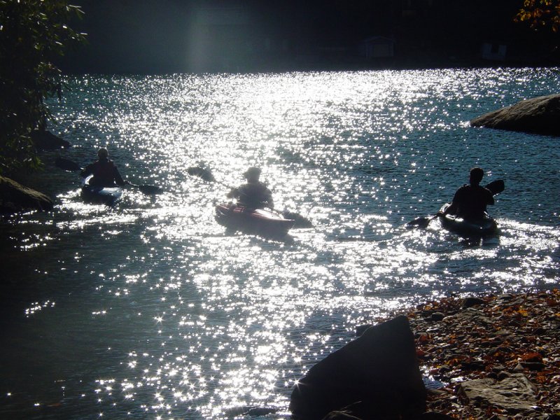
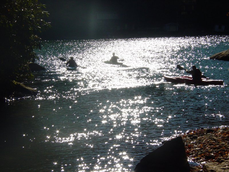
We had encountered several groups of people along the trail and now met this group of kayakers. 

Kayak Group at Quarry Run

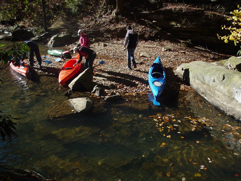
They were just finishing their break and literally paddled off into the sunset...

Kayak Group at Quarry Run

Kayak Group at Quarry Run

Kayak Group at Quarry Run

Kayak Group at Quarry Run

Kayak Group at Quarry Run

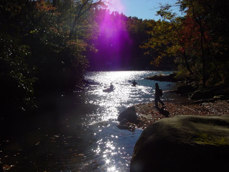
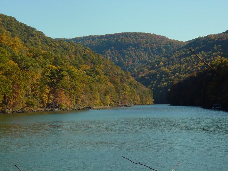
It wasn't really sunset but the canyon is deep enough that it seems that way late in the afternoon.  Here's a long shot of the kayak group way off on the distant shore.

Cheat River from Quarry Run

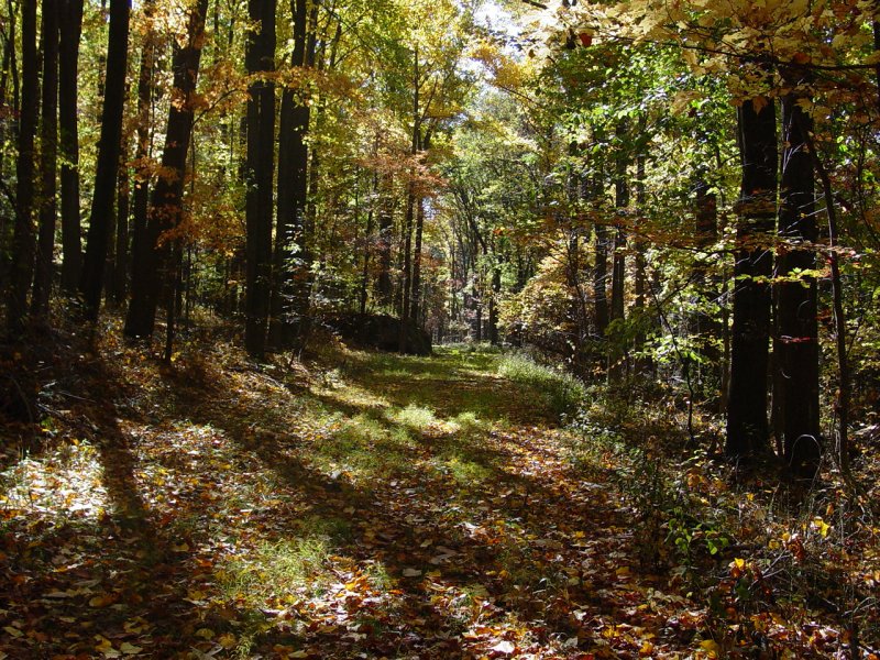
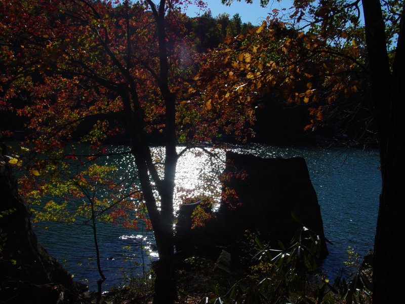
From this point on we followed a sketchy trail through a rock field back to Mont Chateau, with some pretty scenery along the way.

Cheat River from Quarry Run

We were all happy to be coming out the other end without any problems!  The trail is Cub Scout friendly.  With someone along that has been on the trail, and a trusty GPS, it's a good hike for our purpose.  And I think I know three people who have been on the trail...

Tomi, Paul and Ted at Mont Chateau

Epilogue

We walked along the pavement to the Jeep and drove home.  Another day in paradise!


Click or the [ BACK ] button on your browser to return to the previous page.

Home

Photos, Layout and Design © 2006-2008 Paul M. Provencher All Rights Reserved.
Contents of this Web Site may not be used without written permission.

Hit Counter

counter Visitors Since 10/19/2008

Last Updated 10/26/2008 07:01:33 PM -0500