Prologue
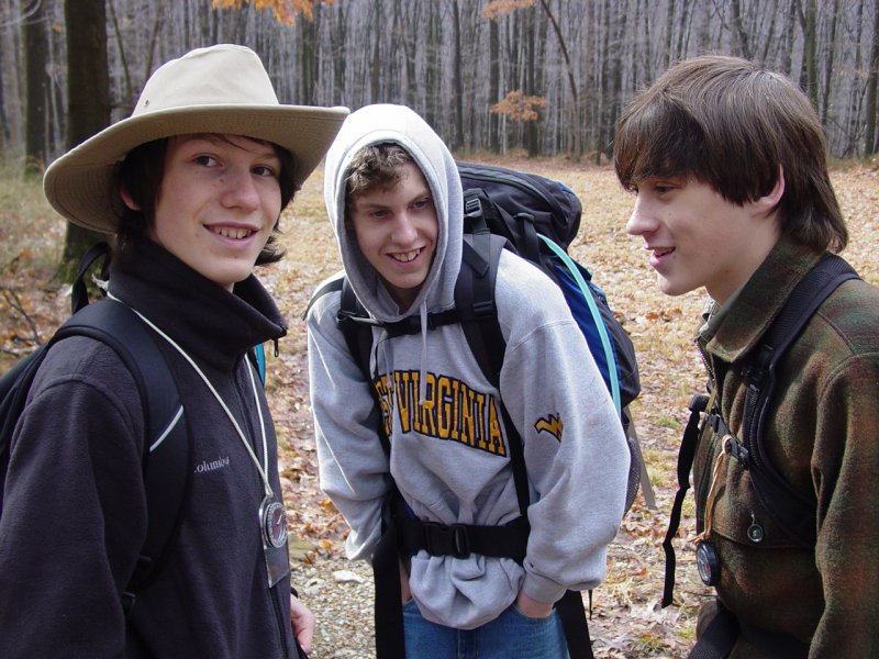
Ted made his decision to join Troop 93 a few weeks
earlier. He quickly got involved by going to the meetings and
making plans to participate in the activities. In order to
begin his advancement, he chose to go on a hike with the troop.
They decided to take a "5-mile hike" in the
Cooper's Rock State Forest to go see the Henry Clay Furnace
(also known in Geocaching Circles as The
Evil Sorcerer's Castle ). We had been down to the furnace
in November 2006
to visit the site and try to find the geocache. We had a good
time that day. So Tom and I decided we'd join Ted for the
hike.
We spent the morning getting ready. Ted made
lunches; Tom packed drinks and made trail mix. I loaded the
GPS units
with map data, waypoints and new batteries. We ran the
checklist to get all the items recommended for hikes by the Boy
Scout Handbook. Pretty soon we were all packed and on the road
the short trip to the park. Along the way we saw Jeremy making
a stop at the Ashebrooke store. The weather looked pretty good
and we hoped the rain held off until evening as promised.
Muster
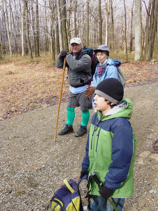
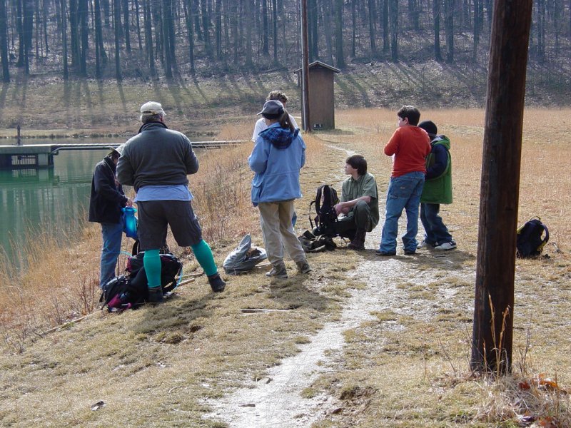
We reached the park to find the main gate closed, so
parked in the only parking lot accessible. Pretty soon Jeremy and
his Dad arrived, and soon after that, Tom Jones and the rest of the
troop that would attend. Jeremy ran us through the plan for the
day, checked out our provisions and level of readiness. Jeremy had
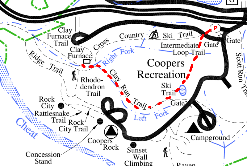
the park map which had a sketch of the trails.
The route we wanted was not completely illustrated but we had a general
plan as shown in the map in red.
Ted had printed the
topo map of the area on Topozone.com, and it showed the terrain and
some landmarks, such as the power lines and roads not shown on the park
map.
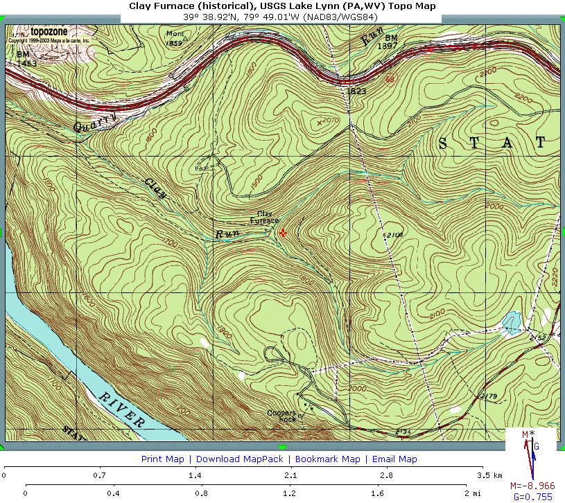
We decided that between the two maps we should be able
to reach the furnace without major detour. We had a discussion
about compasses and maps and GPS's and soon we were on the trail.
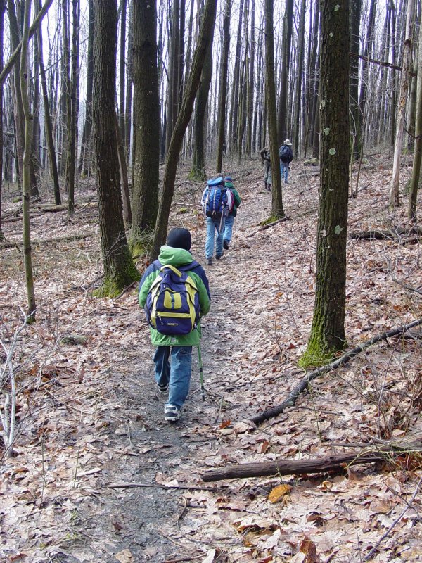
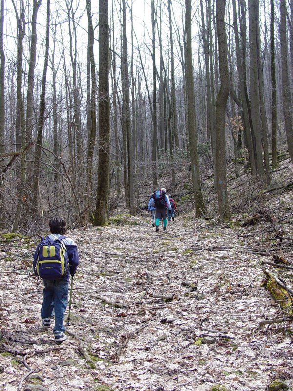
Trail
We decided to
take the cross-country ski trail from the parking lot up to the main
part of the park and then follow another trail down to the furnace,
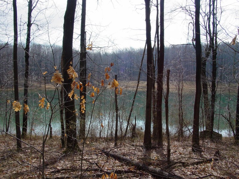
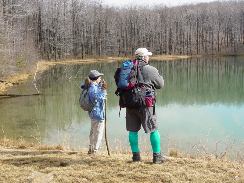
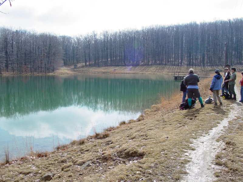
passing first by a little pond shown on both maps. The trail from
the road crossing to the pond is not shown on either map. We
stopped at the road crossing and checked our options.

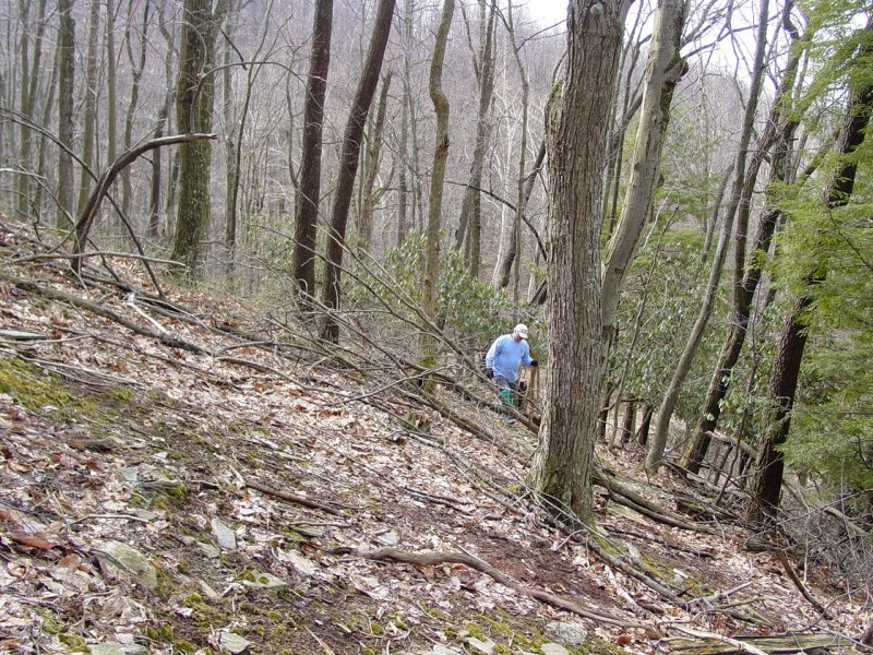
So we did
some bushwhacking through a section of fallen trees and briars until
we reached the desired trail.
This was
a nice walk. The sun started to peek through and the air
warmed up enough that when we reached the pond, we took off some of
our outer-wear while we took a break.

Ted and Jeremy
discussed and recorded some of the requirements Ted has to complete for
Tenderfoot.
After a short
break, everyone got their packs on and headed down the trail. Soon
we came to a fork in the road. From the location shown on the GPS
for the furnace, I was inclined to recommend the right fork, and indeed,
we set out in that direction for about 50 feet. But thinking it
might not be correct, I pulled out Ted's map and sure enough, the right
fork led up the hill and dead-ended. So we back-tracked a little
way and continued down the hill, tracing the side of the hill as we
descended in an arc toward the furnace.
Soon another fork confronted us and again
Ted's map showed us our choices. We
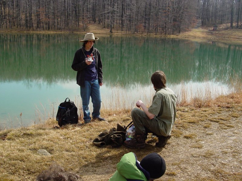
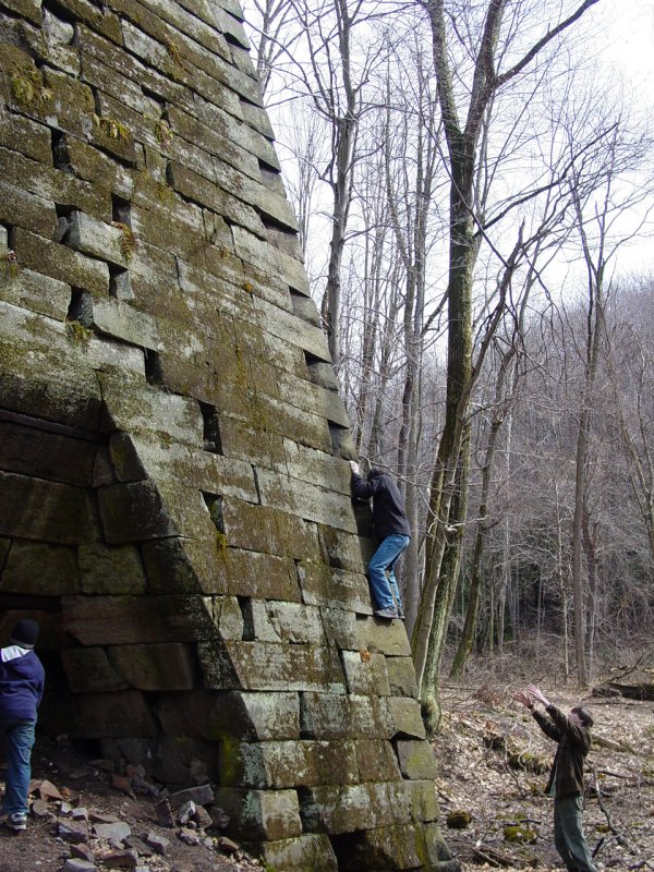
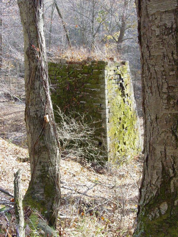
continued and soon reached the furnace - just at Noon. Everyone
took off their gear and had lunch.


Here is the inscription on the sign nearby:
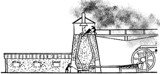
"Henry Clay Iron Furnace
Henry Clay Iron Furnace, located on
Quarry Run, was built between 1834 and 1836 by Leonard Lamb
for Tassey and Bissell. It was a coldblast furnace and
produced 4 tons of pig iron each 24 hours. It was one of
several furnaces that were operated in this area during the
nineteenth century and was used until about 1847.
About 200 people were employed at the
furnace. It was the center of the community of over a
hundred dwellings with a store, church and schoolhouse.
Ownership of the furnace was conveyed
in 1839 to the Ellicotts who built a system of wooden railed
tramways that ran through the mountains connecting the
furnaces and ore pits. Until 1845 all of the iron produced
was floated down the Cheat River.
The pattern of industrial development
is constantly changing. The iron industry cycle on Cheat
Mountain is now complete."
 
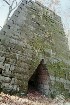
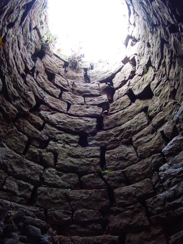
Only the blast furnace itself remains though appears
to be deteriorating enough that it will eventually cave in.
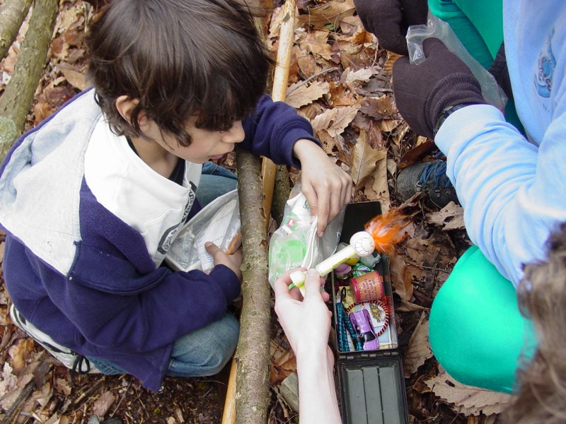
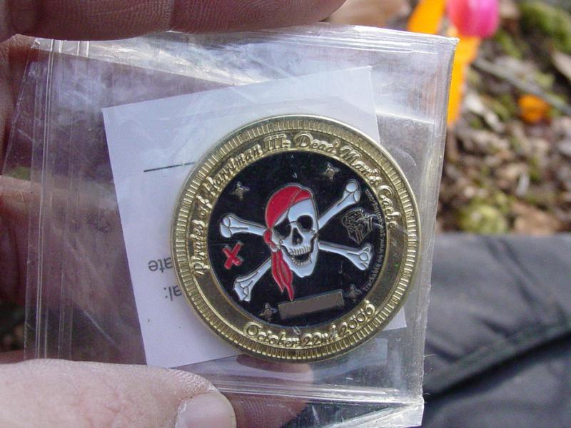
After lunch, some of us climbed the nearby hillside
and located the geocache.
We went back down to the furnace, took a few more
pictures of the outside and then got loaded up and back on the trail.


It was tough to get going again after the lunch
break, and especially because we had to climb back up the hill we
had so easily walked down.
We took some short breathers on our way back up
the hill. We found some frog eggs in one of the puddles along
the trail. When we reached the pond we took another short
break, then continued to the point where we had emerged onto the
trail from our bushwhack. We chose to follow the trail and
then cut up to the road along the power line.
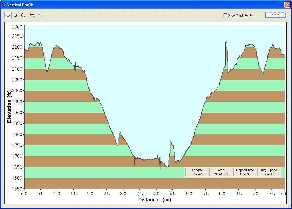
Finally, we followed the Roadside trail back down
to the ski trail, and parking lot. Here is a graphic showing
the elevation changes during the hike. The low point on the
chart is the location of the furnace!
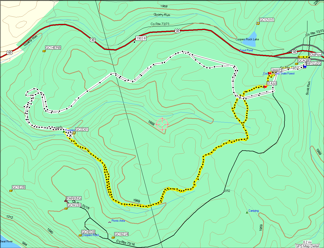
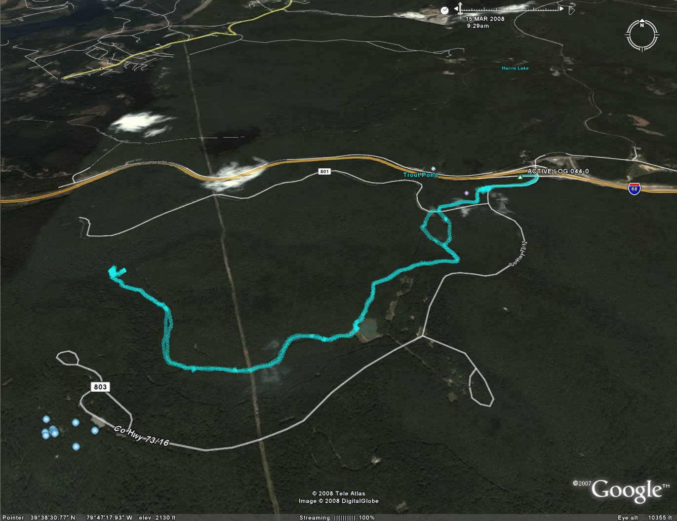
Here is a GPS track log and an aerial view of the
area we hiked. The yellow tracking is from this trip; the
white is from
our November 2006 trip
Here are some links I found for more info about
Cold Blast Iron Furnaces
ironfurnaces.com
Historic
Iron Mines
Appalachia Blacksmiths Association (excellent account of
this furnace and the Cheat Lake area)
West
Virginia Iron Furnaces
Old Cut Stone Iron Furnaces of Western Pennsylvania
Iron Furnace History in Ohio
Cornwall Iron Furnace Tour (shows all the ancillary
buildings and equipment that are typically missing today)
How a Blast Furnace Works (modern)
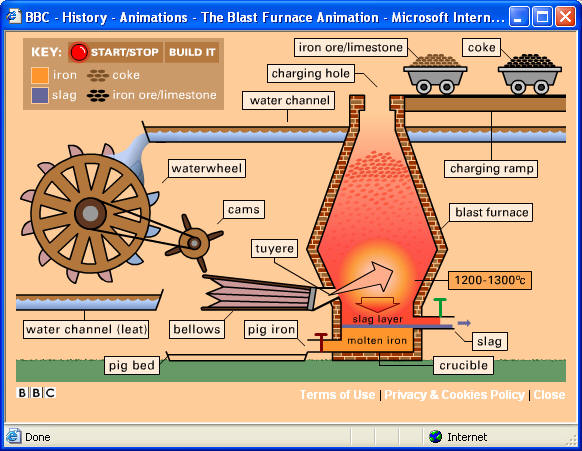
BBC History - Blast Furnace Animation (period)
Epilogue
We headed straight home and hit the hot
tub for some relief for our aches and pains! I would learn when
compiling this account that the hike was 7.9 miles, a fair amount
longer than the 5 miles we expected. The boys did a great job and
pushed through to the end. We all had a great day and look forward
to our next outing with Troop 93!
|