In
planning where to go, I wanted to keep it close to our general area.
Having been pleased with what we found in the Pennsylvania/Route 857
corridor on the last several outings, I once again went to
Geocaching.com to see what was in the area. I searched against
coordinates near our last trips and came up with two Geocaches that were
intriguing. My initial plan was to find a couple caches that we
could hike to, see some view or general wilderness, and then hike out
and come home. I wasn't specifically looking for something
that would involve the Jeep, though that is welcome if the option
presents itself.
Much to
my pleasure, the caches I found, both placed by the same well liked
player, were situated in the hills of Southwestern PA with the promise
of scenic splendor, local legend, beautiful woods, and "Jeep Trails".
That was all it took. I stayed up late on Monday researching and
again on Tuesday verifying my research. I confirmed through
reading and examination of several different map sets that there were
indeed all of the ingredients promised by these caches. One of the
research exercises was combining the reports of cache visitors with USGS
maps to determine which "Jeep Trail" might take us to our destinations.
I concluded my preparations in this area confident I had figured out
this part of the puzzle. I mapped the results for loading into the
GPSr.
When we
got to the trail head I had identified, we soon came to a gate. So
much for that. But I still had the benefit of the research that
told me one visitor had gone up the Jeep Trail so this trail head must
not (necessarily) be the one we sought. I doubled back and
took a look at the map on the GPSr. Nothing immediately jumped out
so I went into penetration mode: I reasoned that one of the turns
off the pavement would lead to the trails I had identified on the maps.
The trick was finding the right one without too much thrash. I
would avoid anything that looked like a driveway; cul de sac, etc.
Mike was
riding with me and Charlie was in his Jeep. I took the first
candidate turn (which is not to say the next turn...) after the
false start and was rewarded with a track that went directly to the
trail system I had mapped, only several thousand yards north of our
intended entry point. I will say that the cache owner was correct
- finding this wasn't easy - I spent four hours with maps which made it
easy on the ground but without the work in advance it would have been
purely by chance...
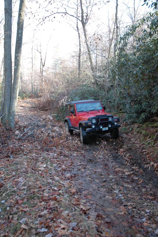
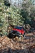
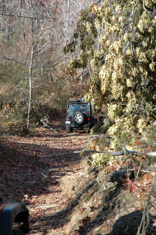
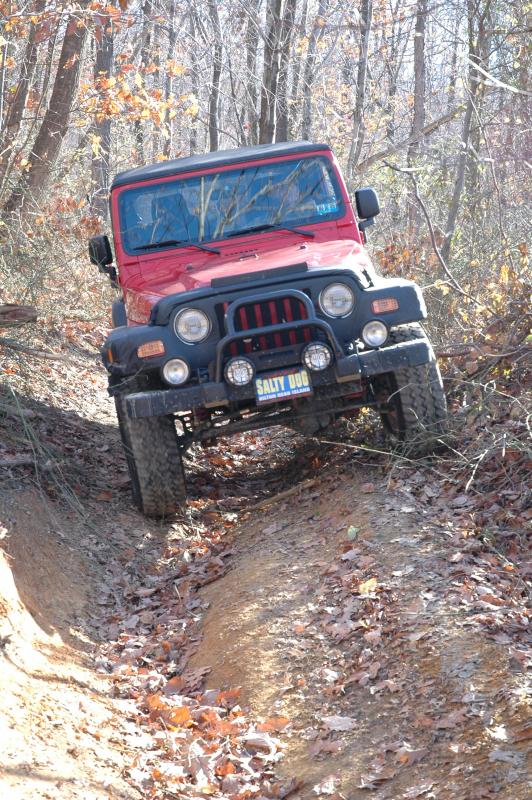
The
trail appeared to be headed directly for an intersection with the trails
that I was looking for. It narrowed down to not much more than an
ATV path fairly quickly. But it appeared well traveled and so far
there were no fallen branches or trees...
Famous
last words. Soon enough we encountered the crop of a tree that had
broken off in the late fall storm we'd had several weeks ago. Mike
jumped out to pull it aside. For his helpfulness, he was rewarded
with a stick to the chin just below his lip. He came to the Jeep
and commented that it might need stitches. It looked like a
scratch so I said so. He put his tongue between his cheek and gum
and sure enough, with his skin puckering out, we could see it was a deep
puncture wound.
I dug
out the first aid kit and we cobbled together a homemade butterfly
bandage from some tape and the pad from a regular Band-Aid. Note
to self - get some small butterflies and other small stuff like that.
Mike was a real trooper when I dropped his bag complete with all his
photo gear on the ground. Mike, I just wanted to make sure we got
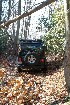
all the pain out of the way early in the trip...
After
that, we squeezed through the spot he had cleared and continued up the
trail.
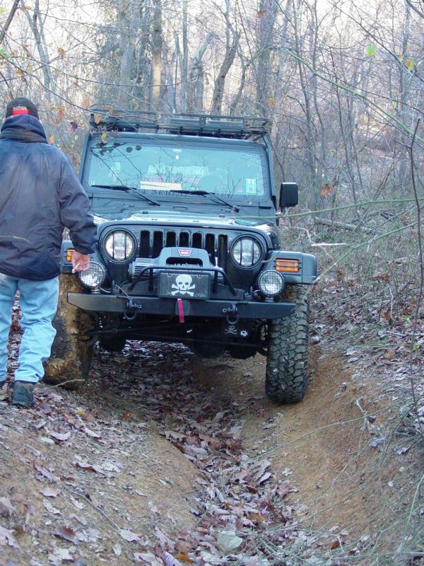
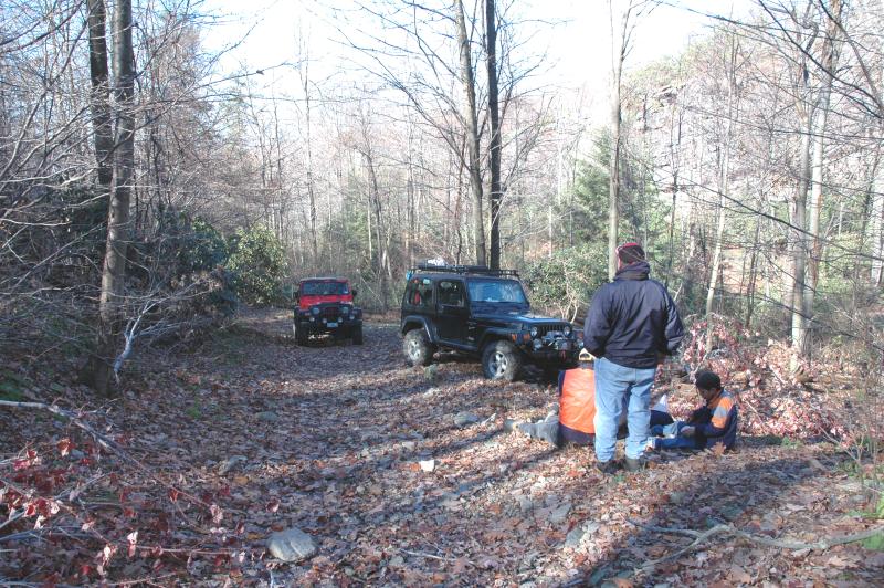
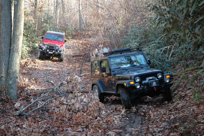
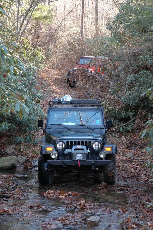
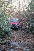
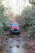
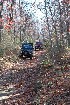
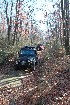
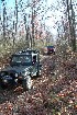
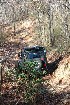
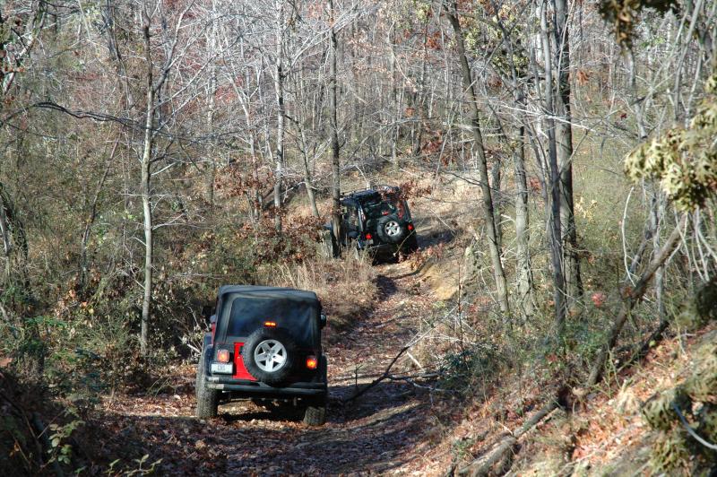
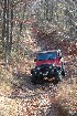
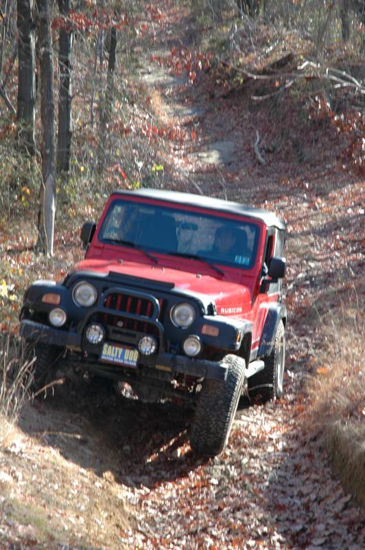
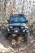
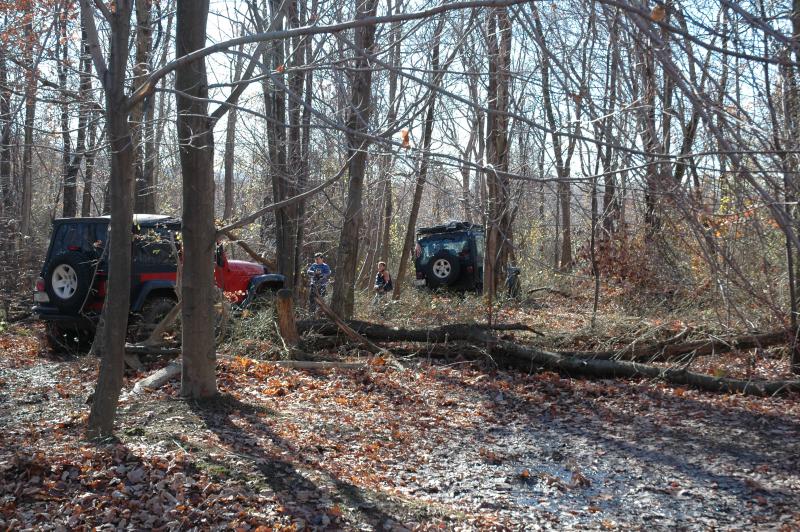
Most of
the trail ride involved stopping to clear away brush or fallen branches
with the bow saw and widening spots that had already been cleared for
ATV-width passage. Ted brought along the camera I have signed out
to him so I let Tom use the digital camera more on this trip that
previously. He took a few pictures from the back seat, as we went
up the trail:


We came
to the point where we connected to the trails planned for the run up to
our destination, a promising looking Geocache. As we arrived at
the connection, two guys came down out of the woods on an ATV.
Charlie asked them about permissions since there was a Private Property
sign on one side of the road. They told him that the area to the
North and East of our location was posted but otherwise we were OK.
That was good since we were headed away from the posted property.
With the
trail now lining up with the route that I had planned, I was enjoying
the sights. We came to an unexpected junction and I mistakenly
took the high road for a short distance. We drove up the ridge a
ways and soon saw we were diverging from our destination. We
doubled back and took the other branch and the trails lined up with the
plan again. Life is good. I do want to retrace the upper
track again because it appears to head to the back side of the ridge
where a great sunrise might be waiting for us.
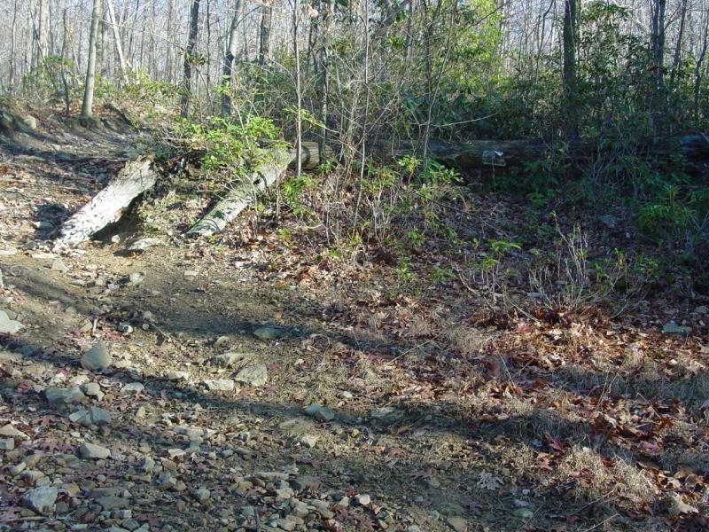
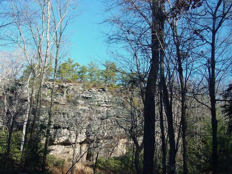
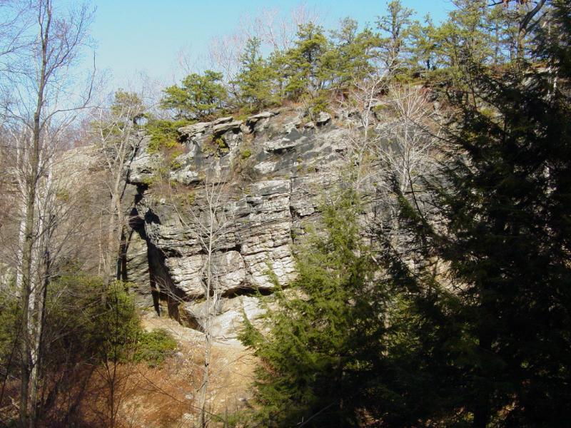
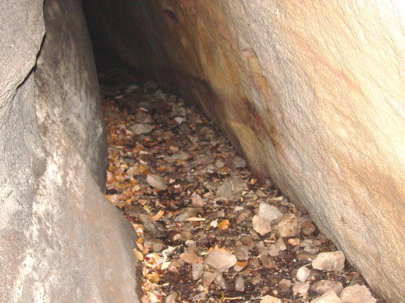
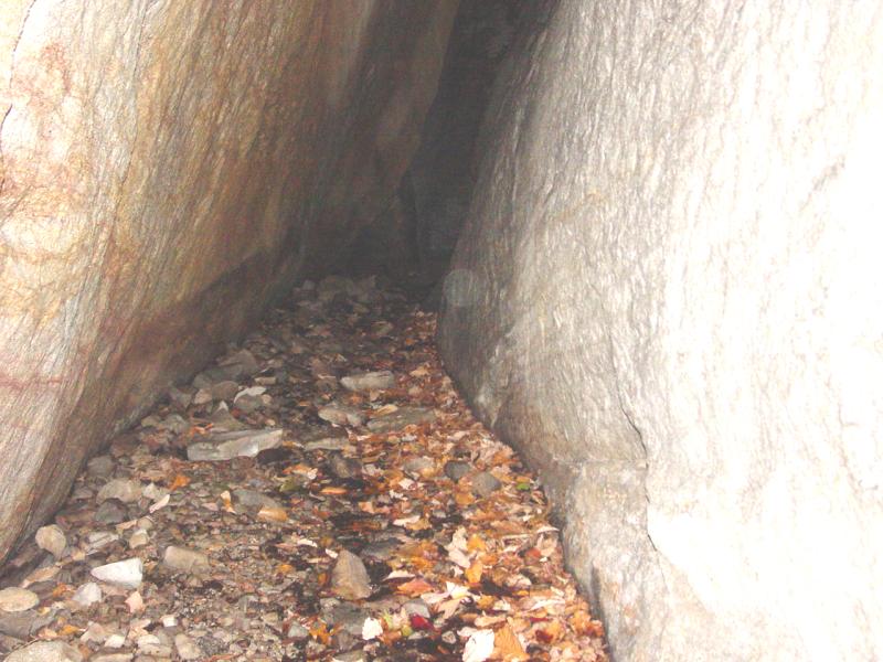
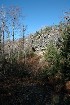
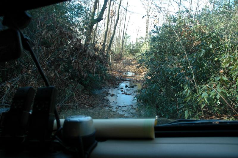
At one
of the crossings of a small stream, we stopped to investigate in
interesting rock formation that was visible from the trail. We
found a fire ring with hot coals lightly smoking, and a tidy empty
campsite with no gear or other signs of life. The rocks were
interesting so we took some pictures.


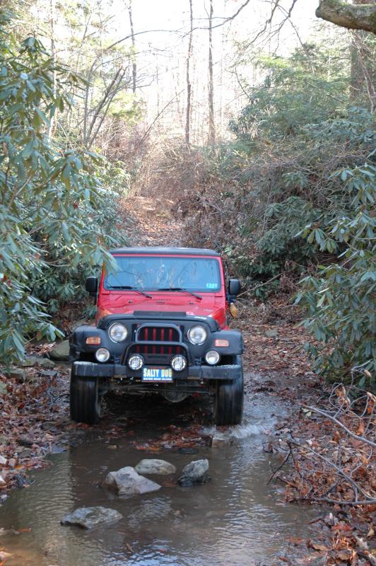
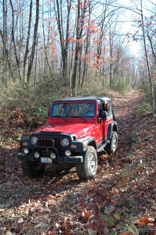
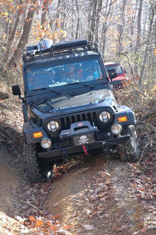
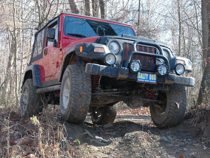
Shortly
after this we arrived at our destination. True to the accounts of
previous visitors, we were able to drive directly to the Geocache
location. I am skeptical that a Grand Cherokee would have reached
this point but not because it isn't a capable vehicle, but more because
of how tight the trail is and how difficult it would be to thread it
through some of the rough spots. Mike commented he would not bring
his Explorer in because of this. To anyone contemplating a drive
in, be advised the trail is not a 4-wheel drive challenge - it is a
width and height challenge. I would say slightly more than
beginner skill is required and a dose of good judgment goes a long way.
Tom took
a couple pictures of the view before we got out and started searching
for the cache.

I took
the GPS out of the Jeep and let it settle down. The coordinates
were spot-on. Mike was looking the other way so I spotted the
cache location and left it in place, came back to the Jeep without
anyone noticing I had found it, and let Mike and Charlie and the kids
know I had found the cache. The kids went and stood right on it
and said "Where Where?!" Sometimes...
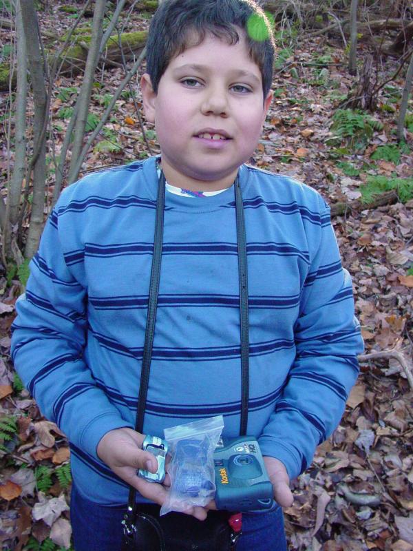
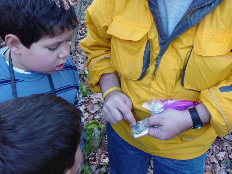
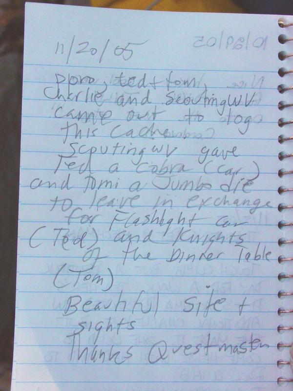
In all
the preparations for the trip I forgot two things - the Travel Bug I
wanted to deposit and the large flashlight recommended for the second
stage of this cache. Mike helped out by letting the kids pick
something out of his swag bag and loaning me a pen light.
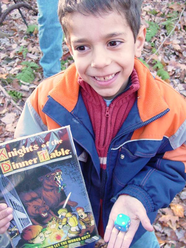
Ted and
Tomi opened up the cache and found a trove of things. Ted and Tom
borrowed some items from Mike to trade into the cache; Ted a Matchbox
Cobra left in exchange for a flashlight concept car; Tomi a large die in
exchange for a comic book (in remarkably good shape).
Mike
told us about Geo-coins that he collects and circulates. He logs
them in and out of caches as he makes his way around. Some of the
coins are quite impressive and no doubt many are handled this way so
that they don't go missing.
Not long
after we arrived we started hearing gun shots. It's hunting season
but I had assumed that there wouldn't be any shooting on Sunday. I
was wrong. I pulled out my orange vest and put it on. Mike
was wearing a bright yellow jacket so he was not likely to be mistaken
for meat. Charlie and the kids were left as-is.
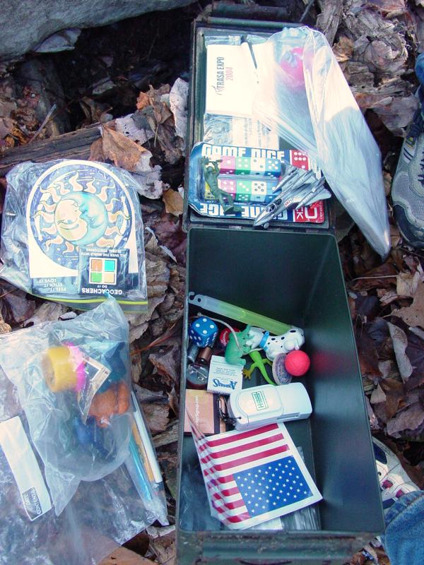
I took a
couple pictures of the contents of the cache. There was quite a
collection of stuff in there. We also signed the log. We
discovered a throw-away camera but it was already completely used up.
I wondered out loud if we should take it to be processed but we decided
to tell the cache owner about it and let them handle it. We had a
brief discussion about the 2nd and 3rd stages of the cache and decided
we'd have Charlie write down the spoiler and hold it for us in case we
needed it after the second stage, thereby preventing the need to return
to the cache to look up the required info.

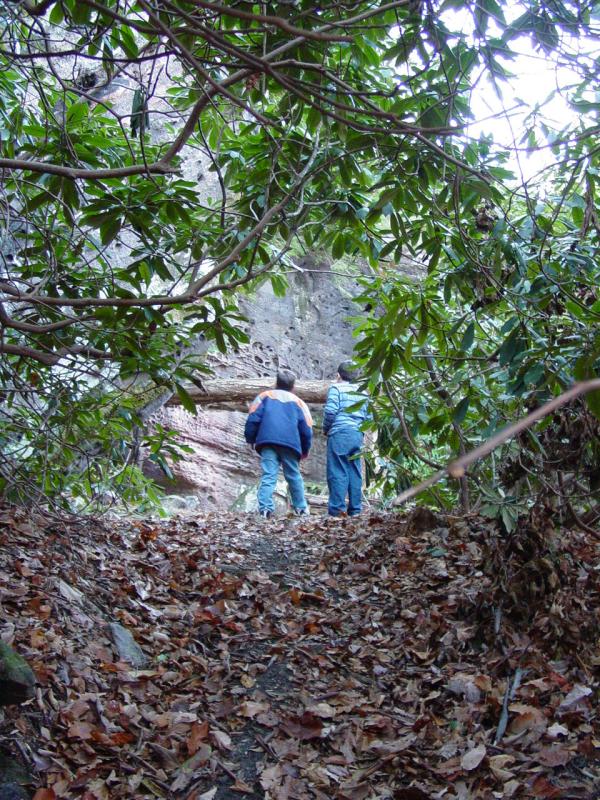
While
Mike took care of his cache activities, I headed across to the rocks
with the boys. I helped Ted and Tom cross the small stream at the
bottom of the ravine and then climb up the other side to the rocks.

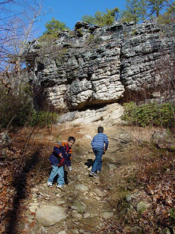


At the
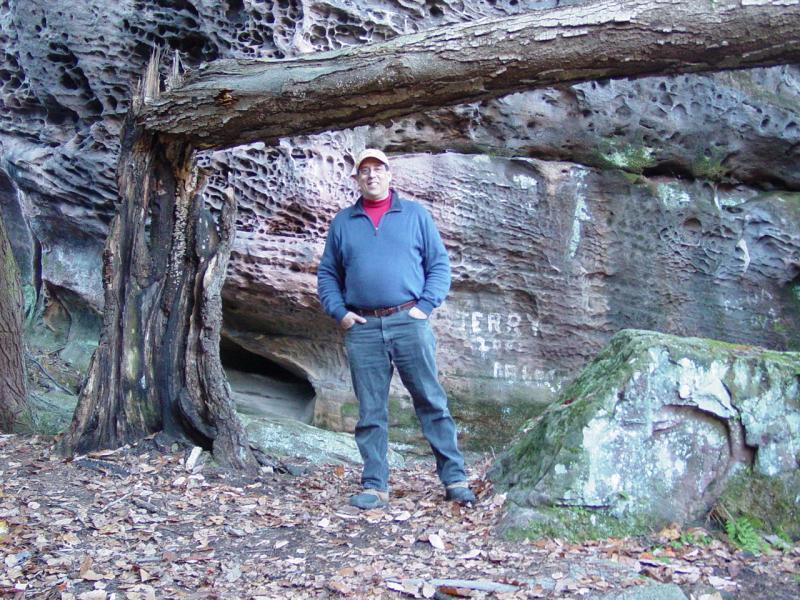
top we soon found a fault that looked promising so we checked it out.
After looking around for 2nd stage info, we reviewed the instructions
and reset our attention to broadening our search. I would be more
specific but the clues are withheld so that any Geocachers interested in
this cache will not have the secrets spoiled for them.
Along
the way we "looked" into some little holes and, with a picture taken and
viewed first, and with gloves on in case, we fished around inside the
hole and found no clues.

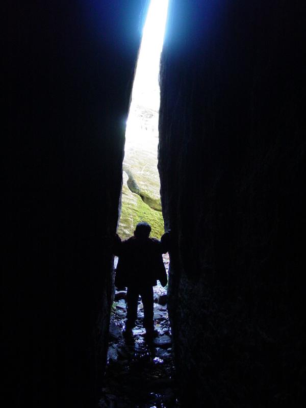
Moving
further into the area we found ourselves faced with a deep fissure that
was pitch dark. This looked like a good place for a beastly
flashlight. We made do with a pen light and a camera flash.
As we turned the corner and the daylight no longer lit our way, Ted
chickened out and went back to the entrance to wait. I had Tom
grab my belt and follow me as I walked in a foot at a time, hoping for
my eyes to adjust to the dark (they did but not enough to see anything
without the flashlight). I took a picture to see what I could see.
This was the best view I had of the cave - an image on the 2 x 3 inch
screen of my digital camera! It actually was quite helpful but a
real flashlight really would have been a lot better.
At this
point Tom lightly tapped his head on the wall of the fissure. He
didn't hurt himself but it startled him enough that he was uncomfortable
about continuing. We were close to the end of the space but I
didn't want to put him through the discomfort.

We
walked back out to the mouth of the fissure and I asked Tom to stop
while I made some images.


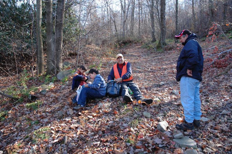
Once out
I helped the kids climb down and out to the trail that led back to the
Jeeps. Once there, we had lunch and talked.


I found
a large soft-sided cooler and quite a bit of trash so we collected it up
and I strapped it to the roof rack using the bungee cord I found.
There is still a fair amount of trash about and I encourage others to
bring along trash bags and take out a load. With trash collecting,
lunching and other stuff out of the way, we headed back down the trail
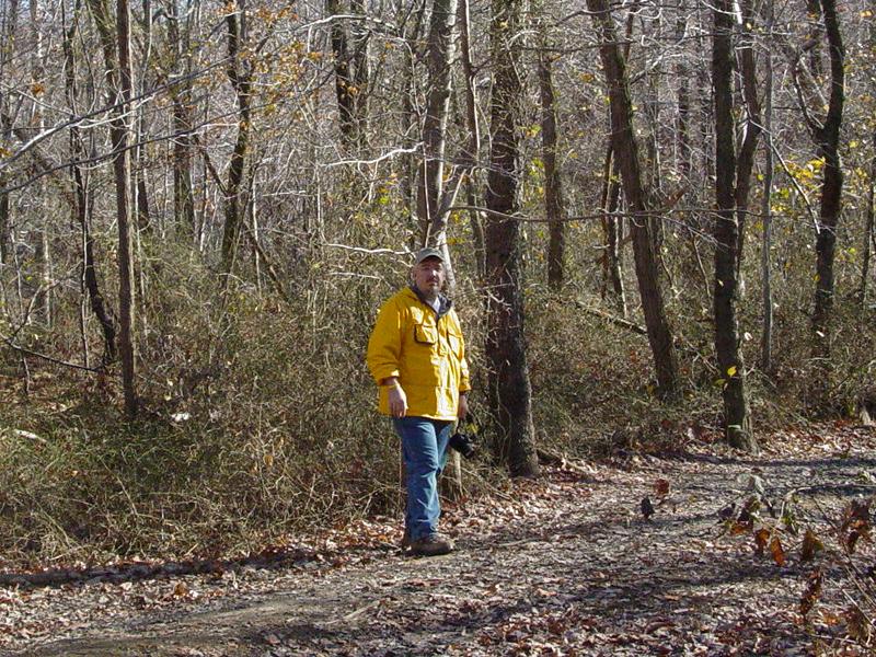
with Mike walking many sections and taking some rare photos of ppro in
action...


Maria
called to say that she was getting on the road and would catch up with
us at home later in the evening.
Charlie
is my lucky charm. Every time we've gone out the weather has been
stunning. I know it's just circumstantial but we joke about it.
One of these days we're bound to get something different but today was
no exception. We could not have had a better day. It reached
about 55 degrees, the sky was clear, and there was no wind. The
ground was damp from recent precipitation but it was not muddy or dusty.
Well, there was a little bit of mud but I'm getting ahead of myself...


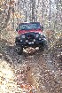
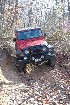
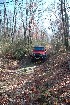
Eventually we got back to the place where we turned back down to the
pavement along the unscheduled section of trail we used to replace the
piece that was gated. Enter the mud. On the way it was
uneventful so we didn't even stop to take pictures. I figured it
would be fun to crawl through it and come up out over a little hump that
I had avoided going in. So I slipped into the mud and made my way
for the hump.
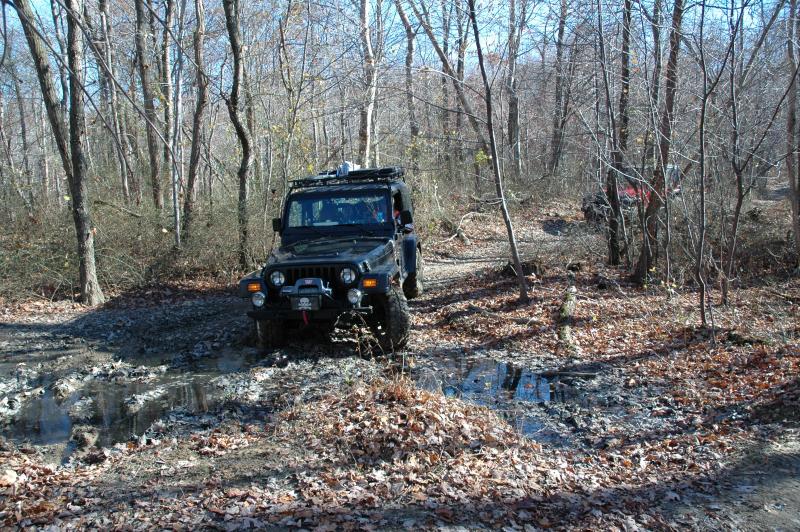
My first
attempt got me up on the hump but high-centered so I backed down into
the wallow and made another swipe at it. And another. And
another. The good news was that I didn't get permanently stuck.
The bad news was, I wasn't getting over the hump. Finally I backed
off enough to go around it, and also used a little more wheel speed to
get more momentum. Tomi started squawking that I got mud in his
hair (my window was open...). That may sound petty but this mud
smelled extremely bad so I can't say I blamed him. Finally I found
the line and got out of the mud.


Charlie
made it look like what it was - easy...
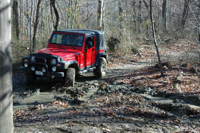


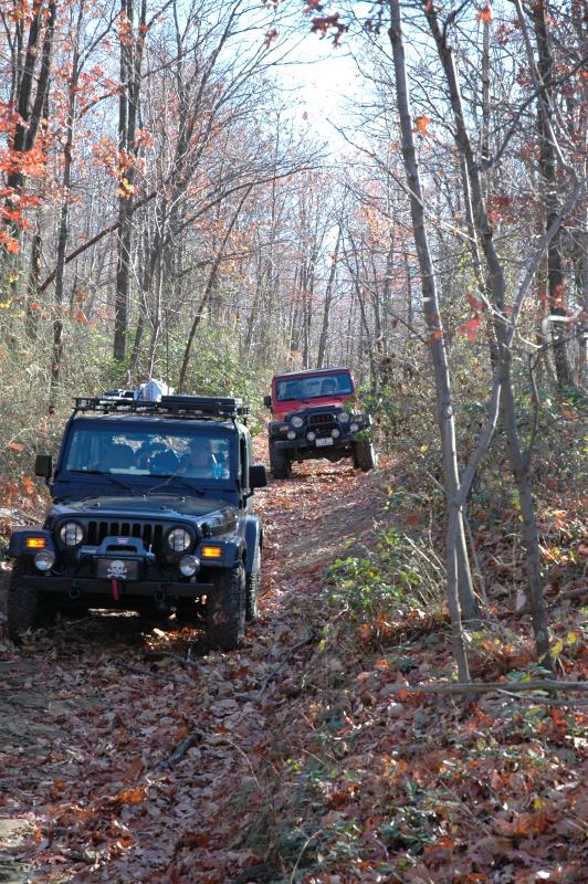
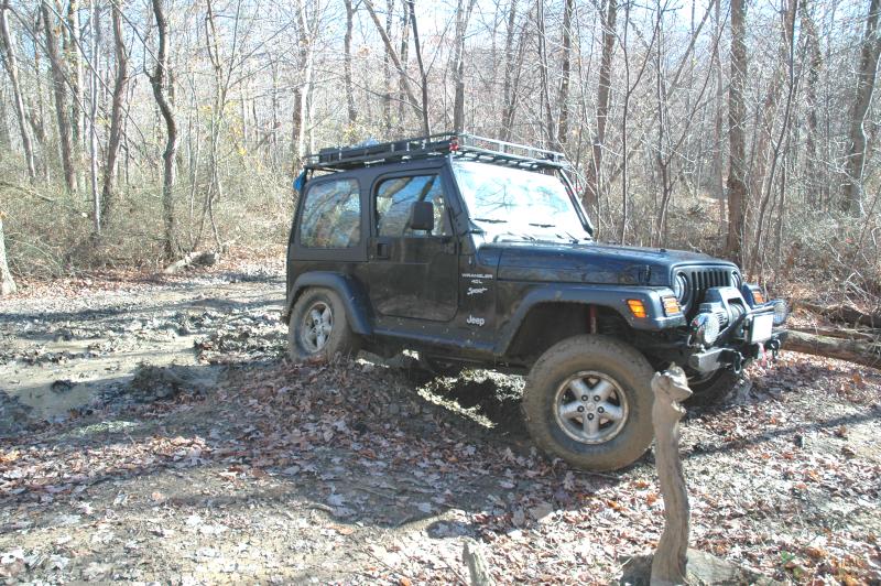
We
stopped, everybody took pictures, and then we got back on the trail.


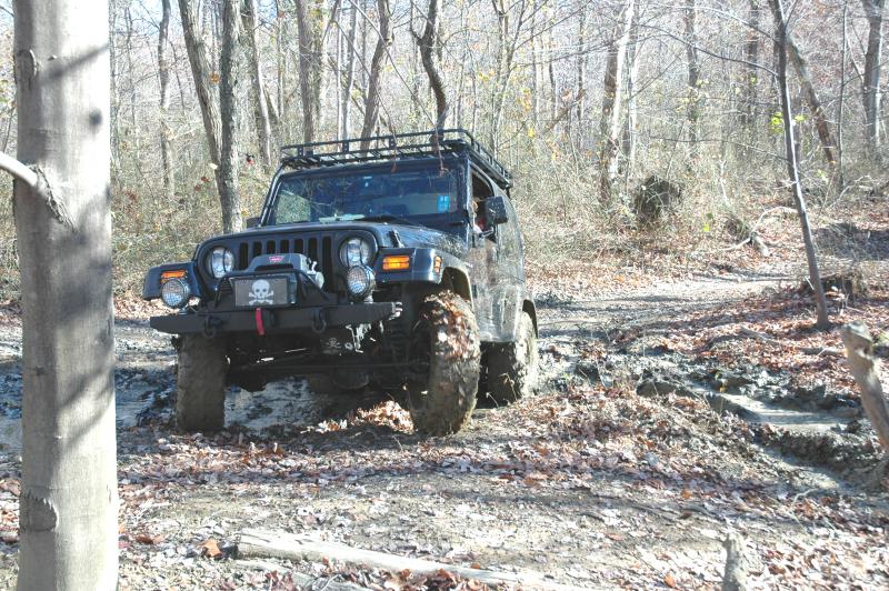
Tomi was
busy taking pictures and even though I was inclined to discourage some
of the things he wanted to shoot, I let him go to it and as evidenced by
his results, it was good that I let him alone - he got some good shots!
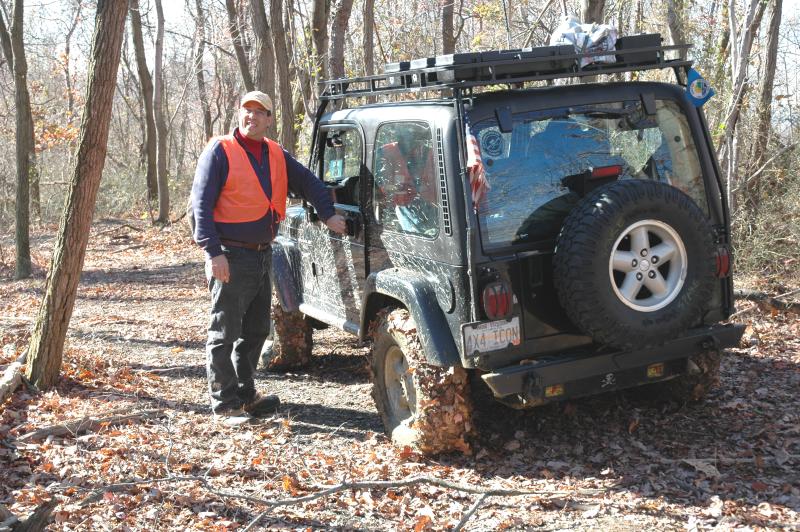
Mike
kept shooting and we took advantage of it. Charlie and I are real
poseurs!


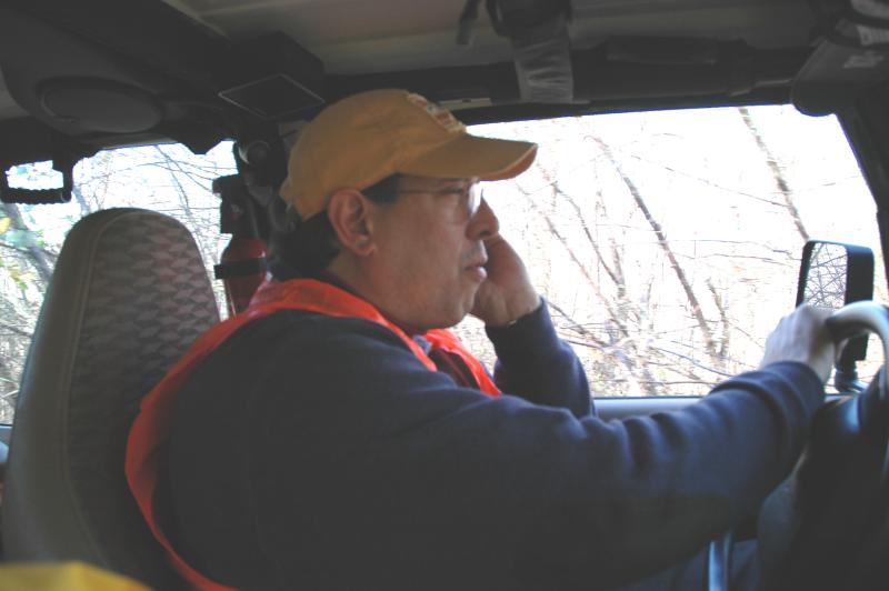
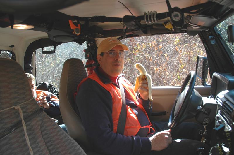
Poor,
Mike - One of the few times I shut my mouth - so to speak... This
is a rare shot of the cab with many of the items visible:
d-shackles, carabineers, walkie-talkie, Jeep Travel bug...
On the
way home we visited a local church that has some interesting stones.
We took some pictures.


