Catawba Cemetery Cache and Morgantown Blue Roads Exploration

Catawba Cemetery with Ted walking away - Click to EnlargeBull Run Road - Click to Enlarge

12/03/05

4X4 ICON 2000 - 2008 The DVD! - Click here for details!

4X4 ICON 2000 - 2008 The DVD!


Prologue

I'd spent the last evening mapping out all the roads that run parallel down both sides of the interstate I travel on the way to work.

 Catawba Cemetery Track Legend - Click to Enlarge

I did this because on Friday I got caught in a traffic jam when a car lost it on a bridge and more or less closed the road. When I got off the interstate I discovered it was not like what I was used to (urban options) - it was a couple main roads on one side and Appalachian jungle on the other... This was both a blessing and a curse. I have found the mapping of this area not to be as detailed or as correct as some areas, so when I tried to run a route down parallel to the highway I soon discovered that I wasn't prepared to just "shoot down one exit and get back on" like I wanted to. Ergo the mapping exercise. I sat down in front of the computer for some serious map time.  50 routes later I was ready to do some trials to see how well they worked.

Given the poor reliability of the maps in this area, I decided I would do a ground check on the routes I had mapped on the GPS to make sure they were real and would work in event I wanted to jump off at an exit and go down to the next.  Not to mention that I was very curious to see in person some of the features that were screaming at me from the maps!

Muster

Ted and I had some work to do on the Jeep...  Monday morning I hit a deer on Route 79 on the way to work...  I was doing the speed limit (70 mph) and a little skipper jumped up onto the breakdown lane.  It stopped long enough to look me straight in the eye and then it decided to make for the other side of the road.  Directly across my path.  About the time it looked at me, I was hoping it would stay put and moved smoothly to the left lane in hopes I would get past it without touching it.  Instead it was like shouting "PULL!" at a skeet shoot, following the disc through the air and then pulling the trigger when you had it tracked...  BAM!  Only I didn't have a shotgun and it wasn't skeet.  It was the deer stretched out trying to claw past me and instead taking the full brunt of my front bumper from one end to the other.  After the Jeep hit it, I felt it go under the wheels and chassis and saw it prostrate in the middle of the road behind me, dead as a doornail.  Great...  I was fine; nothing came through the windshield, but I stopped to take inventory.

The front bumper had serious chunks of deer where the d-shackles are mounted; there was hair everywhere.

Carnage - Click to Enlarge - Caution - Graphic Image, May Not be Suitable for Some Audiences...

The left-front driving light was smashed and pushed back into the left-front fender which now had a crescent-shaped dent where the lamp housing fit neatly... 

Detail of Light and Fender Damage - Click to Enlarge
Smashed Driving LightDetail of Light DamageInside Fender View of Fender Damage and Light Damage

Inside Fender View of Fender Damage and Light Damage - Click to Enlarge

The lamp bracket was bent back, the lamp housing had some scuffs and a couple small dents.

Lamp Bracket Damage - Click to Enlarge
Lamp Bracket Damage

And that was it.  No damage to the bumper itself; no damage to anything else at all.

Frontal damage
Frontal Damage - Click to Enlarge

The steering linkage was fine, nothing else was bent, and there was nothing but hair everywhere underneath...  Grateful doesn't even begin to describe how I felt.  I said a little prayer for the deer and continued on to work where I added my debacle to the collection of stories about my boss who has hit five or six...  I am hoping my fortune is not as good (or as bad) as his...

So Ted and I spent the morning doing work on the Jeep.  We removed a damaged driving light, disassembled it, removed the broken lamp lens and set the pieces aside after tapping the dents out of it with a piece of wood and a hammer.  Next we removed and straightened out the bracket that it was mounted on, then repainted it and the spot where it mounts on the front bumper, then Ted put it back on the bumper.  I had ordered a replacement lens and lamp.  We also bent the lens protector back into shape and Ted painted it.

After that, we spent a few minutes installing the right-rear fender well liner that had been knocked off and left behind when my tire blew out a few months ago.  That was fairly easy except for the last fastener that was between the frame and the spot on the body where it attached to the front edge of the liner.  But I got it installed...  Ted knows another new swear word.  With the lamp removed and the other parts repaired, I snapped the GPSr into the Jeep, loaded Ted up and hit the road to verify some routes.

Trail

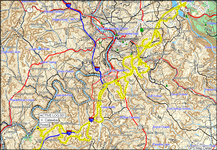
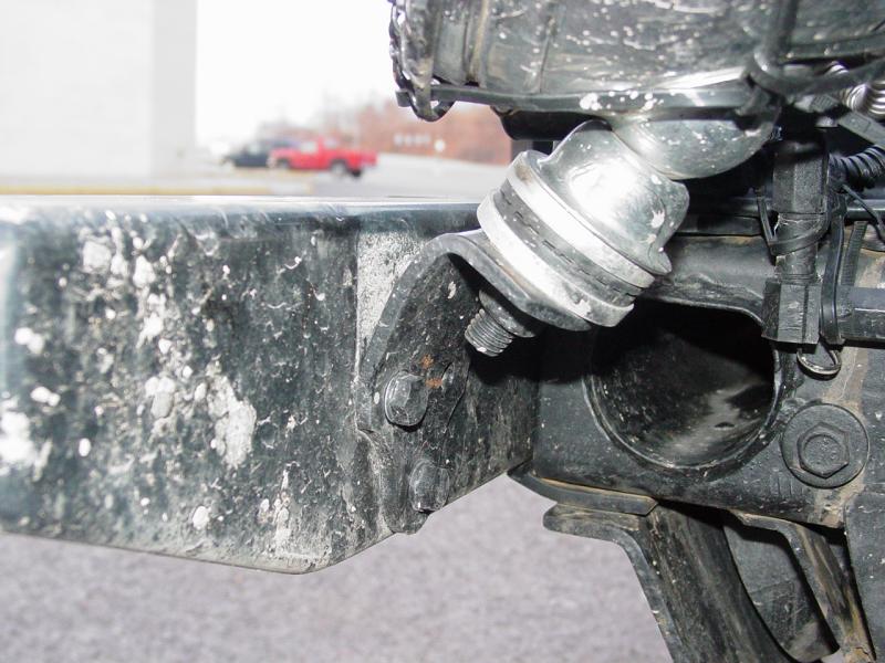
Sure enough we discovered that the map reality was, in a few key areas, quite different from what MapSource told me. Now mind you, I have been extremely pleased with MapSource and use their City Select, USA Topo and World map sets. I also use DeLorme and one other computer map set whose name escapes me at the moment. So don't think I am complaining.  It's inevitable that in the hundreds of thousands of miles I have logged (seriously), it's no surprise that once in a while a map falls short.

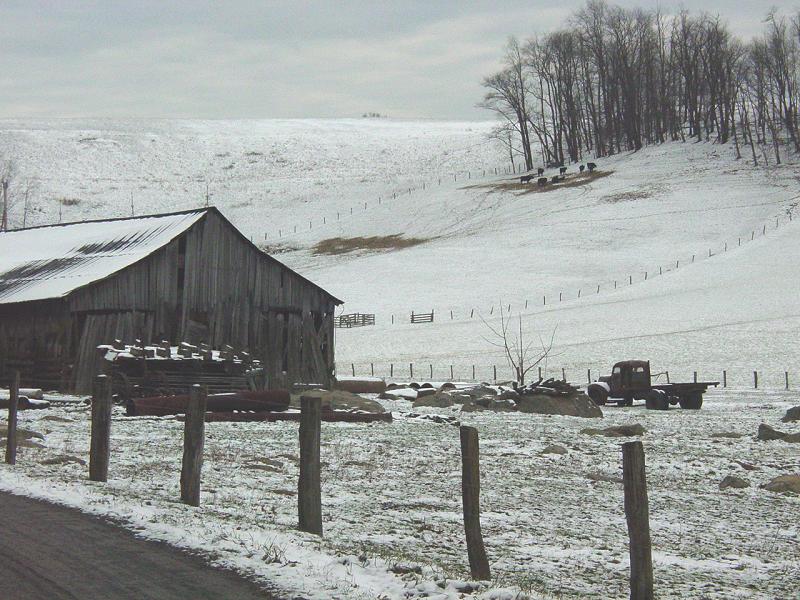
Anyway, in one place there was a road that got me under the highway that was not on the map; another "road" was actually a dirt road (oh great - just what I look for - seriously) that went into a deep section of a stream and did not re-emerge on the other side of the stream like the map showed... That meant we took another route option and I am left to revise my route plans.  One down and 49 routes to go...

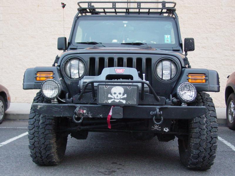
We followed a number of roads into some remote areas and found some interesting things.  I was even able to investigate a piece of property that I had spotted when we were housing hunting last year.  It was nothing like I thought it would be but it was still a beautiful place.

Bull Run Road
Bull Run Road - Click to Enlarge

After checking out Bull Run Road (above) we punched down into one spot from Grafton Road and found ourselves front and center to the Wal*Mart Super 
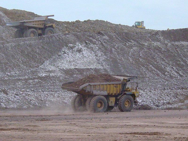
Center construction project in Morgantown.  They're literally blasting the top off of a knob and filling the ravine next to it with the remains.  That's one way to find level ground to build a shopping center...

Super Center Wal*Mart coming soon...Super Center Wal*Mart coming soon...Super Center Wal*Mart coming soon...
Super Center Wal*Mart coming soon... - Click to Enlarge

And so on. My 8-year old, Ted and I ran the routes until we reached the impasse mentioned above and shot an alternate route under the highway and down to Dairy Creme, only to find (of course) it was closed for the season. We dropped back and punted at McD's and had sundaes instead, then hit the road for home.

Which brings us to the Geocache.  Recently I broke down and became a premium member (why in the world did I wait?) and had downloaded e-books onto my Blackberry, and produced a couple pocket queries to carry with me. I also generated the GPX files of these queries and loaded them onto my GPS data set for everyday running (back and forth to work and errands around town). Suddenly I had 300 geocaches sparkling all around me on the GPSr and the ability to look them up on the fly with the Blackberry. (Not to mention that I can log my finds from the cache using the Blackberry browser - can't get too much technology eh?!)  I am hoping I remember to go to work...

So I see the Catawba Cemetery Cache looming off to the north a few miles and looking like it sits on a pretty cool high point. Ted was up for it and we had our big mutha flashlight this time so we hit "auto route" and headed for it.

We dropped off the highway and followed instruments all the way until we were parallel to the waypoint. I looked to the left and saw the massive hill and reached for the Blackberry. Pretty soon I had the description and the directions. Following the driving instructions from the playground up, we were soon on foot headed for the spot.

Catawba CemeteryCatawba Cemetery
Catawba Cemetery - Click to Enlarge

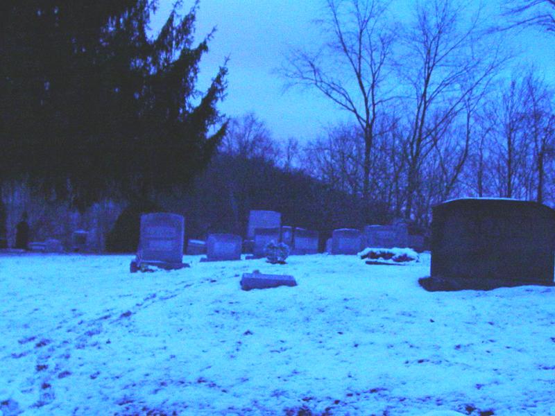
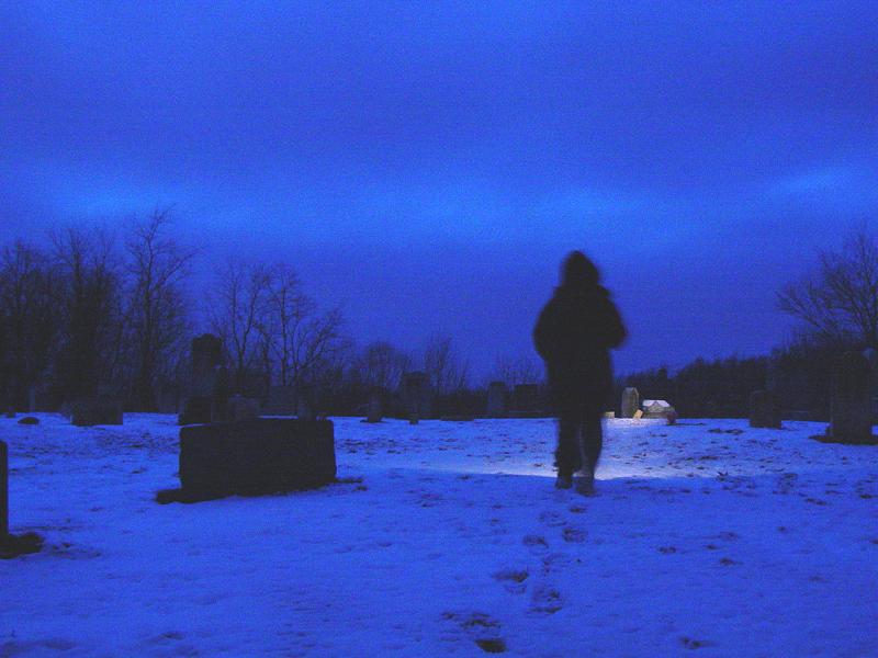
It was by now almost dark. Ooooooooooooo! We made a beeline for the location and soon found ourselves on the brink with a very steep hill before us. I wandered a little to see if the GPS consistently indicated a particular area - it did. I read the logs and saw that it was probably where I thought it was. Problem was it was snowy and even with my hiking boots it was a little tricky. Imagine trying to juggle a camera, GPS, Blackberry, flashlight and 8-year old!

Catawba Cemetery Cache LogCacheCacheTed
Creepy Ted - Click to Enlarge

Creepier Ted

Catawba CemeteryCatawba CemeteryCatawba CemeteryCatawba Cemetery

Catawba Cemetery with Ted walking away - Click to Enlarge

Catawba CemeteryJeep at Catawba Cemetery

Epilogue

Long story cut short we found the cache. Placed a swimming whale, took a kazoo (made Ted wait to get home so we could wash it before he stuck it in his mouth) signed the log and walked back to the Jeep. Made a few pictures along the way.

Thanks for a very nice location, and a wonderful twilight experience! It was a great way to end our explorations of the day!

ppro and Ted


Off Road Index | Shop for Jeep Toys and Books | See the Toy Jeeps


Click or the [ BACK ] button on your browser to return to the previous page.

Home

Photos, Layout and Design © 2005 Paul M. Provencher All Rights Reserved.
Contents of this Web Site may not be used without written permission.

Hit Counter Visitors Since 12/03/2005

156 4/6/06