Our next stop was to get gas
in Keyser.

Then a quick little detour
into Keyser before I realized that we wanted Route 135 to get us to the
trail. We doubled back and got on the right road to the trail.
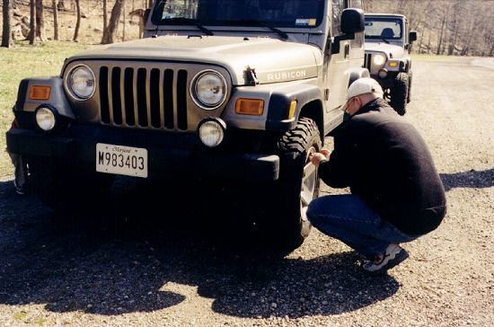
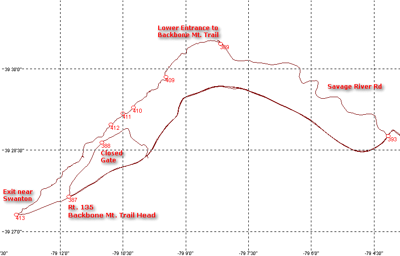
Back on the road we hoofed it and made it to the trail head for Backbone Mt by
10:40. We aired down and disconnected in a wide spot on the road just before
the Savage River Reservoir, then jumped off the road and onto the trail.
Updated info 6/29/04:
Near the spot where we went down to the railroad grade is Hitchcock Tunnel
and near that, Strecker, a switch location. I found this article
on
the web and archived it against loss:
Mountain Subdivision - 17 Mile
Grade
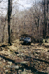
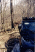
Right away it was clear that
no one had been up the trail since perhaps the fall. It was strew with fallen
dead wood that kept us busy most of the day, clearing and avoiding. It made
for a nice way to spend the day in the woods and I heard no complaints.


The ground was interesting -
the leaves looked dry and dusty. But underneath them, the ground was very wet
and in many places muddy. This made the going interesting as for most of the
trip we drove on a very narrow shelf road that features a steep and long drop
to the right.
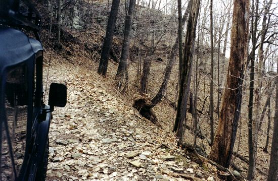

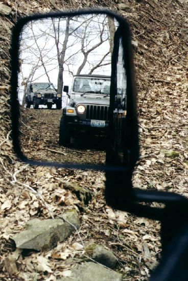
For the most part you'd have
to make a huge mistake or be totally snoozing, but if you went off the edge,
you'd end up far below in short order.
We moved a couple very large
fallen trees out of the trail - somewhat surprising that we could even drag
them aside they were so large, but it kept us moving forward.
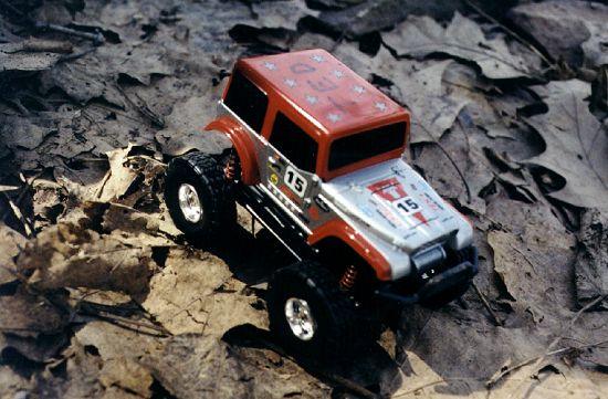
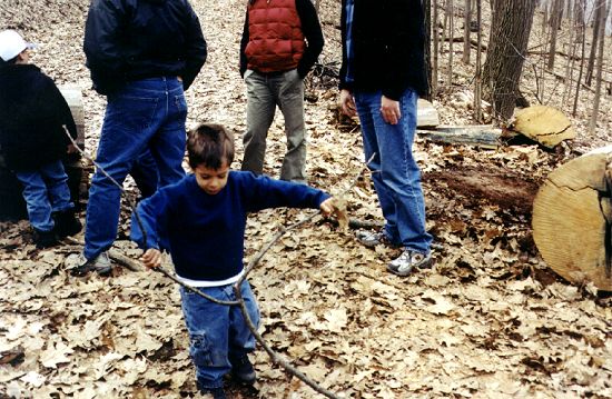
During our stops, the boys did some
wheeling of their own. These little Jeeps are locked front and rear,
have 2WD (high range) and 4WD (low range) and will climb a 45-degree
hill. They also roll over pretty easily!

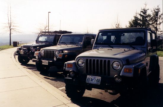
Jay's "TJ" is a
nice Khaki Rubicon, which came out of the woods with a nice WV Pinstriped
suit. I think a quick wax will take it back to factory finish.

The wheeling was mild - there
were really only a couple places where 4WD was necessary although we stayed in
4LO because of the need to travel slow. We took an old side trail that
has not been traveled much and turned on a switchback to head up the side of
the mountain. The trail got more and more narrow as we went up the
hill. Eventually, I came to a spot where we had to stop. There was
some minor junk that needed clearing, and a large tree that blocked further
progress. Given that we were on a narrow, steep hill, and moving the
tree would have required some pretty serious tugging, we opted not to chance
an error that would have spoiled the afternoon. We backed all the way
down to the switchback and continued on our way.


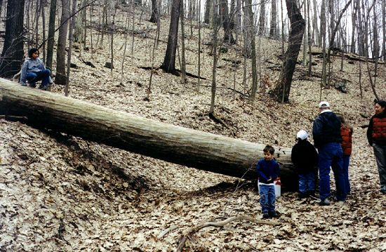
We made a stop
so everybody could climb the side hill and the large rock above. As my
kids are a little too small yet, I stayed below and watched them play with
their Jeeps.


We stopped for
lunch at one of the large fallen trees we cleared. It was about 200 years old
judging from the rings. It appeared to have been very healthy, but got knocked
over in a storm.
We continued on to where we
had done some clean-up on our last trip and found our work was holding
up. But just beyond that point we found more large fallen wood and soon
had a project clearing it out of the way. This involved strapping and
pulling the fallen log. We had to do some cutting to make it manageable.
Further up the trail we came
to a nice spot for camping. Carl likes to pose his Jeep on the
edge. I hope the ground does not give out one day!


Despite calling the ranger
ahead of time, and despite a detailed discussion of our plans, we found gates
closed which forced us to work our route and hunt to find a way out that
didn't force us to backtrack. I shall call the office again and seek some
insight into this. Again we came to a large fallen tree that blocked the
trail. We had to cut it into three or four pieces with our trusty hand
saws before I could pull the largest piece out of the way.

