I had such a good time on
this trail a week prior that I wanted to go
back again. So I rounded up the usual suspects and we planned to go out on
Saturday. As luck would have it, the weather was outstanding - sunshine and mild,
with low humidity. Just what the doctor ordered. I put my top down and removed
the doors for the first time. We made plans to meet at the McDonald's just off of
Route 15 in Thurmont.
I packed up the kids and hit
the road early, with a stop at the cash machine to get some money. Then we hooked up
with Carl and Kelsey, and drove up to Thurmont. Along the way, I realized that I had
left my ATM card at the machine, but chalked it up to experience. I knew that I had
done a "Fast Cash" transaction which meant that my account was logged off.
And the machine sucks the card back up if it is left there for more than a few
seconds. So I decided not to let it ruin my day and put it out of my mind. I
would later learn that soon after I left it behind, a woman had found my card, looked us
up in the phone book and returned the card to my home! I could not have had a better
outcome to that!
At the appointed time, we
converged in the parking lot at McDonalds in Thurmont. We were a variety of TJ's and
Jim's neighbor's full-sized pick-up truck. We went in to get something to eat.
The kids made for the play area while I ordered. I had to struggle to get them to
come eat - they barely did, with Teddy saving his sandwich "for later".
Roscoe rolled in precisely at 8:30; the rest of us finished eating and then went across
the way for some gas. Then we hit the road for points north.
The drive was pretty
easy. We discussed best routes through to the trail just north and west of
Gettysburg. I opted to take the Route 30 and soon found that was not the best route
- it was the Fourth of July weekend and Gettysburg was rife with tourists and re-enactors
of the famed battle. It took us a few minutes extra to make it through the center of
town, but we were soon back on our way to the trail head. My handy
GPS track from the last trip
provided the cue to turn off Route 30 and wind our way up to the trail entrance.

I hope this area stays the
way it is. There are thousands of acres of beautiful farmland, orchards and
woods. It would be a shame to see this "developed". We stopped in a
turn out near the trail and disconnected sway bars and let air out of tires. Once we
were ready, we formed up and drove down the road a few hundred yards and turned on to the
trail.
Right away, we encountered a
man who was doing some grounds keeping with a weed-whacker along the side of the
road. I stopped and greeted him. He wanted to know where we were going.
So I told him. He warned me that the "D.E.R." (Department of Environmental
Resources) was chasing down people going out there and fining them $300. Based on my
research and prior visits, I was under the impression that the area was legal for
off-highway travel. I talked with the man for a few minutes and told him that
we were not going to be doing anything illegal and would leave the area as we found
it. Then we drove up the short road and into the woods. I did some research
later and found that the DER is now the
Department of Environmental Protection (DEP) and is loosely coupled
with the Department of Conservation
and Natural Resources (DCNR). Both of these organizations have jurisdiction over
the area, with DCNR managing Michaux, and DEP conducting more generalized supervision of
wooded areas. It seems that the DEP is probably concerned about illegal dumping in
the forests and in fact, charges a $300 fine for such activities. I read their web
site thoroughly and could not find any info about patrols to enforce illegal use of areas
with motorized vehicles. Just to be sure, I wrote to DCNR and asked, providing a
map, map coordinates, and a general description of the area. What more can I do?
With legal issues put aside,
we made our way up the trail that is described on the map as a "pipeline".
It is straight and in some places, rocky. It seems more off-camber going in than it
did coming out on the last trip. There isn't really anything difficult to the point
where anyone has trouble. Eventually we reach the spot where the dirt road crosses
the pipeline. Just past that, we encounter the first of two hills that are
interesting.
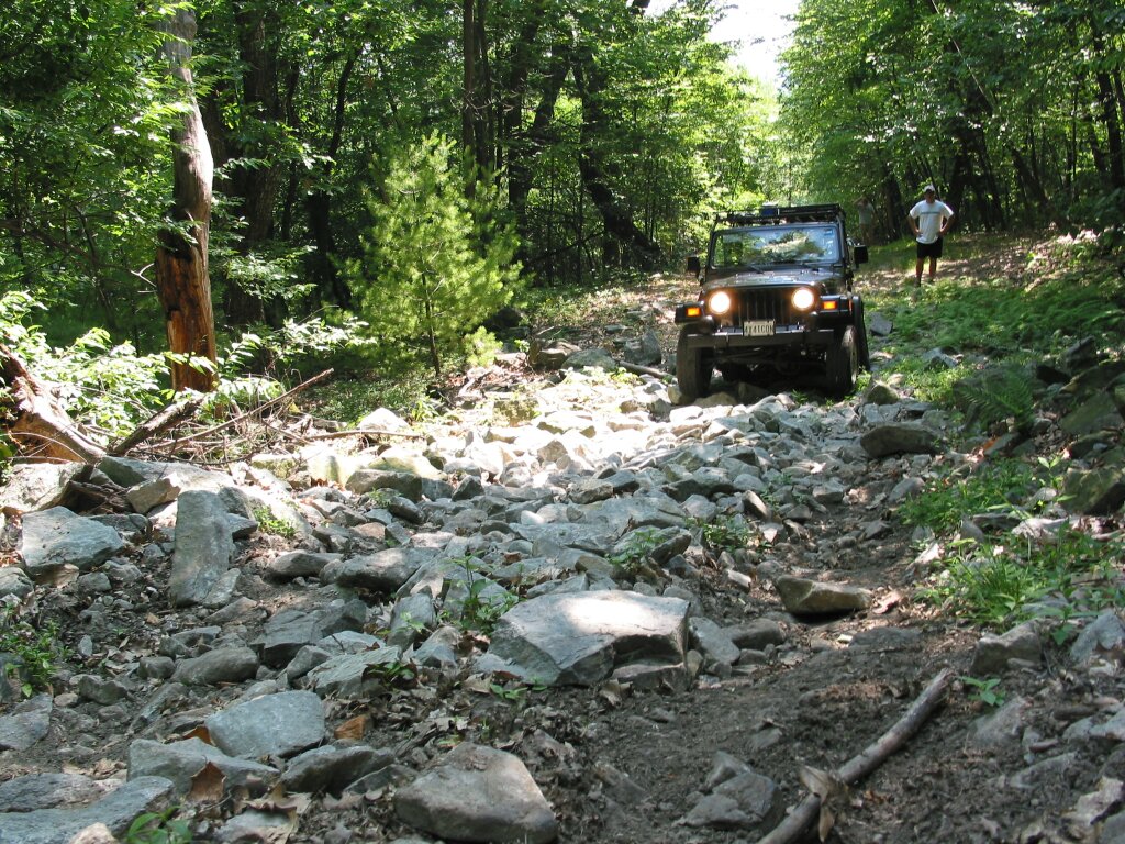


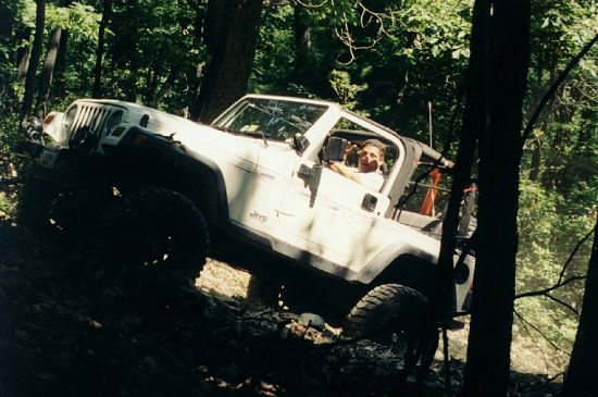
Jim very nicely walks up the
hill and takes some pictures of our ascent. The kids are in the back but hidden from
view. The photos flatten the scene and make it hard to see that this is a hill going
UP!

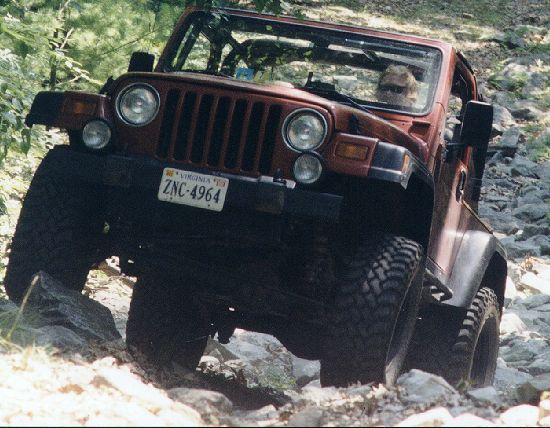

Each person in the group
took their turn climbing the rocky hill. From there we ambled down the other side
through the rock garden until we reached the second hill.
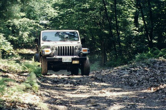

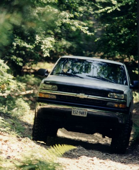

 |
|


Somewhere along the way, I
finally made good on my prediction that I would knock off the petcock valve of my air
tank, mounted under my floor next to the frame. Fortunately, just the
"ears" were removed. leaving my tank intact and leak-free. I shall have to
replace the valve ASAP, perhaps with a less-convenient, 1/4 square plug. At the
hill, I made my way up and then took pictures of everyone else as they came along.
On my way down the other side, Carl came on the CB and told me that I had run over a
turtle!

My heart sunk but we soon
learned that the turtle was safe between my wheels and was unharmed. After his photo
session, we turned him loose and continued to the bottom.

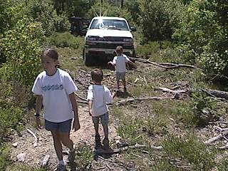
Past the spot where Jandy
and Steve had gotten hung up, we stopped to look at the creatures in a little
stream. There were frogs and a salamander. There were two neat rows of rocks
providing a nice crossing. So after we scouted ahead, we went up the trail and found
a few branches that went off in various directions. The trail continues straight to
the road where a gate blocks entry and exit. The area in general looks to be new
growth following some sort of clearing operation. We explored some of the side paths
and stopped on one for lunch. There were various fresh smells in the air.
Lunch was pleasant in the warm, dry sun, in the midst of this fresh spot.


Once we had eaten, we
backtracked until we reached the dirt road. Before we got there, we were interrupted
by someone (not in our party) who repeated the warnings given earlier by the man at the
entrance. This time, the story was a little more threatening and the fine a little
higher. I stopped the group and we decided to maintain radio silence on the way
out. This further hardened my resolve to investigate the rules about this
area. We turned onto the dirt road and made our way slowly out. Along the way,
we encountered the mud puddles. Many had bypasses but only one bypass was really
necessary. I managed to mistake an ATV bypass for something that would work
for me and ended up in the woods with no path in front of me... The kids were out
cold. I managed to get out without damaging my vehicle or the woods but I felt a
little dumb. Everyone else went through the mud puddle without incident.

We reached the main dirt
road in short order after crawling along for a few minutes. Following my GPS track
out, we got back to a familiar area. We noted a sign that laid out the rules and
regulations and clearly, to people entering from this section, the trail we used was
legal. The road is clearly marked for Registered Vehicle use. Driving on the
way out, a sign referred us to Route 30. Thinking it was a shorter way than the
route I followed last time, I took the turn. Bad move. This path ran parallel
to Route 30, all the way to Route 233. It was dry, dusty and dirty. Still, it
passed a reservoir and provided some scenery that we might have missed otherwise.
Notwithstanding, everyone was happy to get back to pavement.
Having researched the
Northern section of Michaux, I suggested we go explore that area for a time. This
turned out to be more dusty, dry and dirty improved dirt roads with all side trails gated
or protected by rocks and berms. We finally surrendered to the fact that there were
no open trails available. We stopped, aired up and reconnected, then drove back to
pavement.
Once we reached Route 30, we
made a stop for air, gas and snacks. Then I suggested a little side trip to Tractor
Supply Company that was just down the road a little way. There, the kids played on
the go-carts, I drooled on the WARN winches in the store, and Carl and I bought some
clevis pins for our disconnects. Why can't we have a Tractor Supply Company near OUR
house???
Once we were finished
playing "farmer", we got back on Route 30 and headed back towards
Gettysburg. We took a cut-off suggested by Jim that retraced part of our route to
the trail and brought us to Route 15 below Gettysburg. Along the way we stopped so
Carl could look at some old trucks. When we got to Thurmont, we jumped off Route 15
and had some Chinese food for supper. After that, we headed our separate ways, with
my kids showing signs of being very tired. It was a great day. I will update
this report with the results of my research into the legality of this trail. If it
should turn out to be illegal, I will post that information and discontinue our activities
there.
Since 7/11/2002