Basic Info
This page
demonstrates an example of the GPS Data available on
4x4ICON.COM. This first section
gives a little more insight into the process and thinking involved
in producing the GPS data available on this site. You may skip
this section and review the sample GPS data below by clicking
here.
Each page contains a
set of coordinates, links to a map showing the location of that coordinate, and in many
cases, a Track Legend graphic that shows the relationship of waypoints on the trail.
Available for download
are the following:
-
Excel
Spreadsheet containing GPS Waypoints - coordinates to each
location in the trip
-
GPX file -
tracks and GPS waypoints for the trip in a format ready to
load into most GPS units. GPX format is often
compatible or may be converted to a compatible format using
the manufacturers map program.
See
below for an example set of files you may download and examine at no
charge.
Way
Points
How the
Data is Generated
Research
I
do my research using GPS
tracks from prior trips, topographic maps, and prior trip
refreshers. Starting from scratch, the planning can take several
hours, perhaps spread over several separate sessions. The
Expedition to Maine
took 9 months of planning!
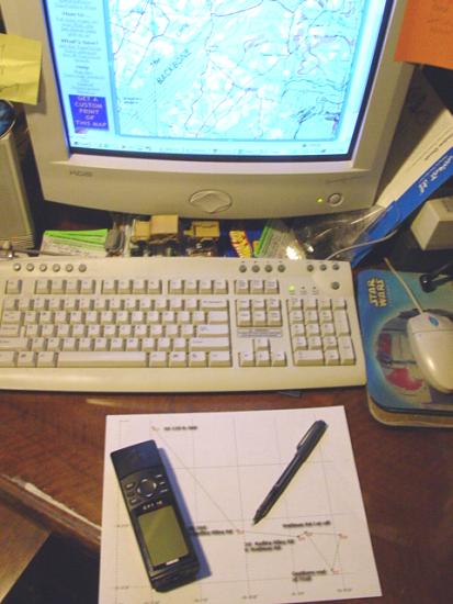
I always do careful
research to gather detailed information about the places I travel and document. I
study the topographic maps and other information that I can find, create and load
waypoints into the GPS, create a GPS "Route" that will act as our map on the
trip, and print copies of both the route and topo maps that I have created and studied.

By the time I hit the
road for the trail, I have:
-
a good mental picture of the map,
-
the GPS loaded with
everything needed to navigate,
-
a printout of
the waypoints and
-
at least one
paper copy of the map of the area
- everything I need for a successful outing.
I can't imagine jumping
in the Jeep and going out to a previously unexplored region without this level of
preparation. I am sure that unplanned trips that fail have often failed due to lack
of planning. That could always happen to me too, but I think it is less
likely. I can honestly say that I have never gone on any trip without this planning,
even if I am not leading the group. I trust people, but I also want to be
prepared...
Travel
Next I make the trip.
In
some cases track data has been cleaned up to provide clarity or
eliminate unnecessary information. The results of this work
is found in the GPS Data on these pages.
Precautions
Even though navigation with a
GPS is very accurate and rewarding, remember that GPS units are
just like any other electronic device. They can fail.
If you travel to an area you are not familiar with, be sure you
have other means of navigation. Printing of this
page and loading of the waypoints into the GPS before a trip is recommended.
Take the following precautions:
Bring:
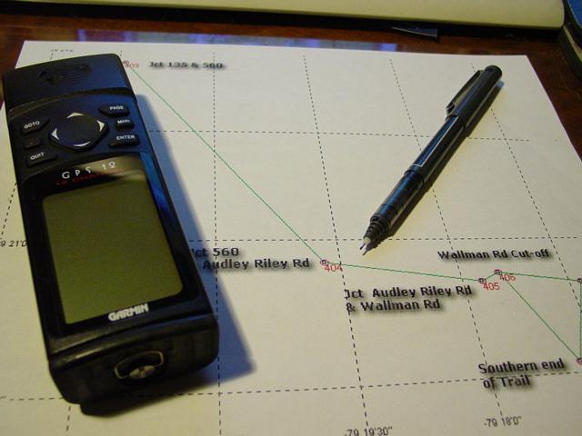
By
using the printed maps in concert with GPS Waypoints and Tracks, it is possible to locate and navigate trails
without previously visiting them. Make sure you have extra batteries
for your GPS and if possible, take power for your GPS from your
vehicle to conserve battery power when you are driving.
If you doubt me,
read
this account of one of my most remote trips when the batteries
in my GPS failed in the deep woods... After that
experience I never traveled without spare batteries and indeed,
at least one spare GPS.
Data Collection
Over the history
of this site, I have used several different devices to store and
collect data. In addition to the personal computer, I have
used three different Garmin GPS receivers. Each has
incrementally more capability, but in terms of data collection,
they all provide the same level of accuracy. The three
units in current use are described on
my GPS pages.
|
 |
 |
 |
|
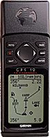
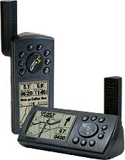
Garmin GPS 12 |
Garmin GPS V |
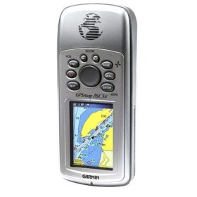
Garmin GPSMap 76csx |
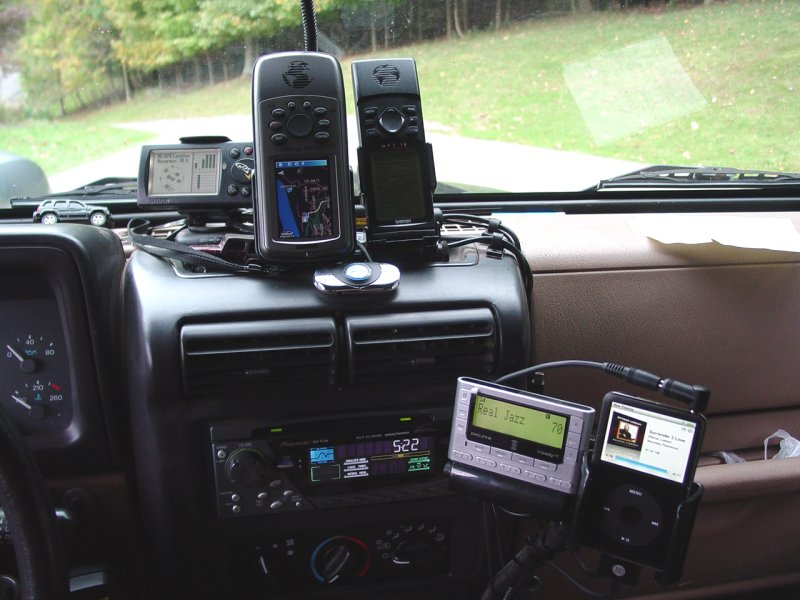
I have been asked many
times "Why do you have three GPS's in your Jeep?".
The long winded answer may be
found here. In short, it gives me a couple back-up
devices, and each unit performs different functions during the trip.
When we get back from
the trip, I transfer the collected data from the GPS units (in some
cases three different units'-worth of data!) using MapSource, a
Garmin map program for the personal computer. My early tracks
were managed using Waypoint+. I later converted those tracks
to a Garmin format for my own use, and GPX format for sharing on
this site.
After transferring the
data, I review it and remove unnecessary information. This may
consist of long distances traveled over pavement, duplicate track
segments recorded by multiple devices, or multiple track points
recorded while not moving. I often remove backtrack info from
trips where the route in goes back over the same route on the way
out. With this de-cluttered data, I save the file in GPX
format for sharing.
Summary
The data offered here
has been carefully collected, reviewed and validated in person
on each location.
Each GPX file contains
the information necessary to chart a path on the way to a particular
area. Using open-source or manufacturer-supplied software,
these tracks may be transferred to many different GPS receivers.
Please note that most
built-in vehicle manufacturer GPS units do no provide the capability
to transfer this data. Some may support the entry of
waypoint coordinates. Check your owners manual for detailed
instructions. In most cases, built-in GPS units of these types
will not support the use of data offered on this web site.
Read
my review of the unit provided in my Jeep Commander for my
(admittedly low) opinion of these devices.
Some GPS units may
require that the tracks be broken down into smaller segments.
Check your owners manual for detailed instructions. Here
are the basic constraints for the units I own:
GPS 12 - one,
1024-point track may be loaded, or several segments totaling no
more than 1024 points.
With tracking
turned on, the loaded track will be over-written. I
recommend leaving Tracking Off if you intend to follow the
preloaded track. If you have a GPS unit like this, it
may be useful to have a second device to track your own
movement so you can backtrack the way you came if it differs
from the preloaded track
GPS-V - ten,
250-point tracks may be loaded and saved.
These tracks will not be
over-written so the 3000-point tracking memory of the unit
may be used to track your progress while simultaneously
following loaded tracks Any tracks that are saved
during use will consume one of the ten slots for preloaded
tracks. If you have used all ten slots, one of the
preloaded tracks will be overwritten.
GPS Map76csx -
twenty, 500-point tracks may be loaded and saved.
These tracks will not be
over-written so the 10,000-point tracking memory of the unit
may be used to track your progress while simultaneously
following loaded tracks Any tracks that are saved
during use will consume one of the twenty slots for
preloaded tracks. If you have used all twenty slots,
one of the preloaded tracks will be overwritten.
Note:
Careful use of this data and
verification of all entered waypoints will assure a successful trip to the
location. We recommend printing out the data page and Track Legend to supplement
your GPS coordinates. We also recommend using
a compass and
DeLorme's Maps as a second source of information when
traveling on the trail.
4x4 ICON cannot be
responsible for improper use or errors in GPS programming.
|