I
signed up to get on the Trail Guide list for Jeep Jamboree 2006;
something I had not done for a while. I wasn't sure if I would
make the cut-off for guides but it seemed worth a try. And as
always, a bad day wheeling at Oak Ridge is better than just about
anything else. So even if I don't work the event, I was looking
forward to the pre-run. As fate would have it, I could not make
the first pre-run in April, but the second one looked good.
I
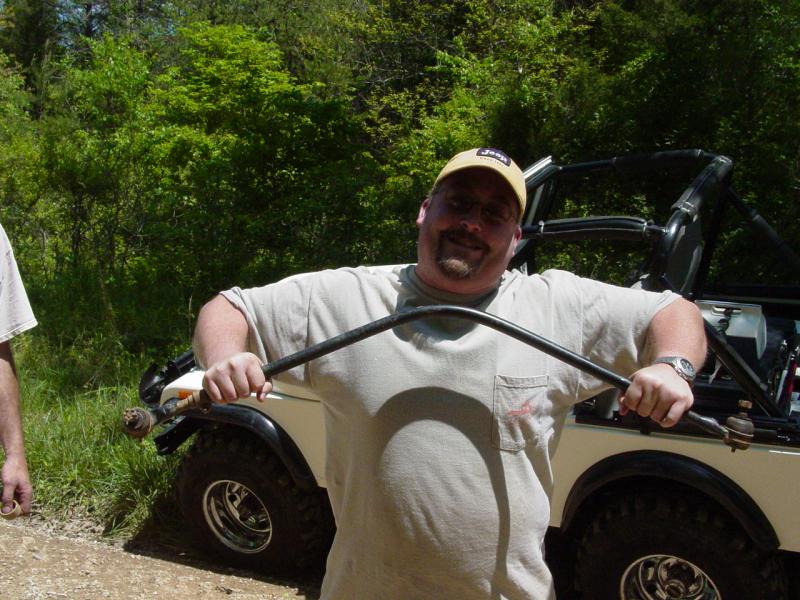
invited my friend Mike along. He and I share quite a few
interests, including Scouting, Geocaching and Photography. Mike
was happy to sign on and we made plans for the May pre-run.


I
wanted to keep the gear to a minimum because we would be traveling a
great distance (six hours each direction). Additionally, I had to
be back home on Sunday to go on business travel. That meant
missing the Sunday morning run, and striking camp Saturday evening and
driving home late. It made sense to just keep it down to tent,
sleeping bag, change of clothes, and the usual outdoors electronics and
mechanized transport...
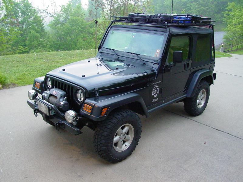
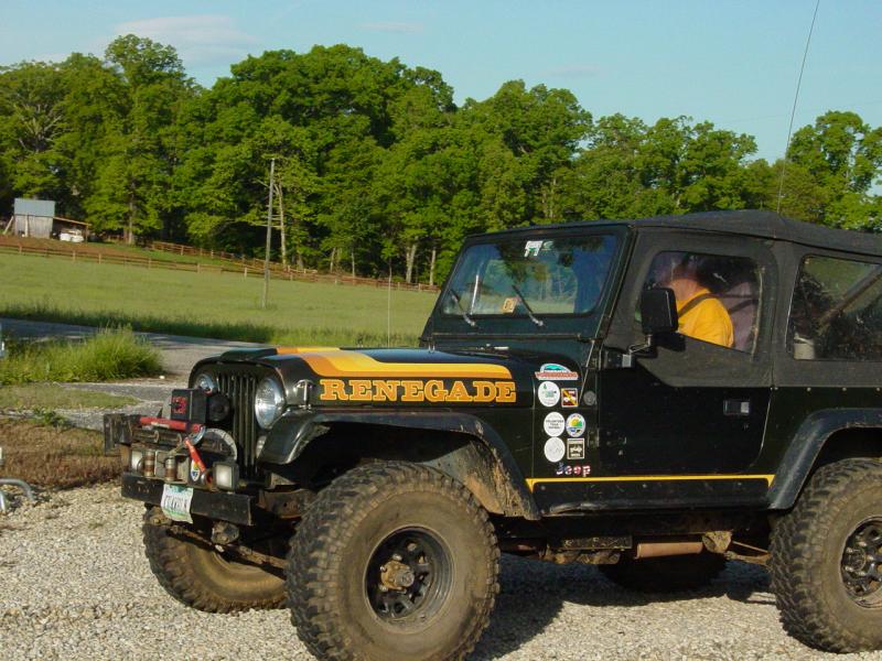
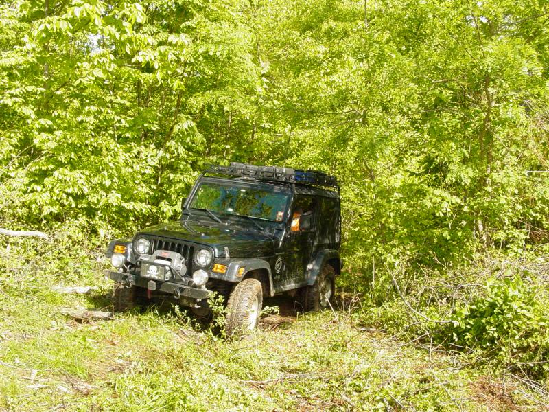
I
removed the back seat, loaded the gear in one of the large trunks, and
retrieved and loaded GPSr
tracks for Big Levels, the connecting route between Big Levels and Shoe
Creek, Shoe Creek, and of course, a comprehensive set for Oak Ridge.
Whenever anyone asks me why I have three GPS units, this sort of trip
comes to mind. Consider there are so many trails at Oak Ridge that
they don't fit onto one GPS 12. I had previously split them into
two sets so they would fit on two GPS 12's. Then add in Big
Levels, and the road from there to Shoe Creek and you've got more data.
Add several hundred detailed waypoints and you quickly get a full
memory. The GPS units were set up for this trip as follows:
GPS V
-
Map Set for Entire Travel and Trail Routes
-
Entire Track Data for Big Levels, Shoe Creek, Oak Ridge
-
Recording Track data for road trip and Geocaches along the way
-
Auto-routing for road trip
GPS 12
(1)
-
four Oak Ridge Trail Systems Tracks
-
track recording turned off
-
track display magnified to 1000 feet for easy viewing on trail
GPS 12
(2)
-
four more Oak Ridge Trail Systems Tracks
-
track display magnified to 1000 feet for easy viewing on trail
-
track recording turned off
Along the way, Mike revealed that he had done some preparation too.
He had loaded a number of Geocache locations into his GPSr so that we
could stop along the way and hit a few.
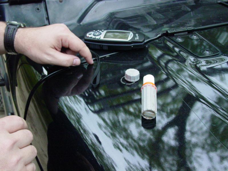
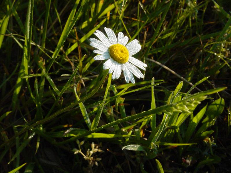
The first one,
Confederate Breastworks Cache, came up at a good time for a break - in fact I stopped to
get a stretch and Mike pointed out that the cache was a few hundred feet
away.

So we hiked up the short trail at the
Confederate Breastworks and soon
found the cache there. I left two travel bugs, picked one up and
signed the log.
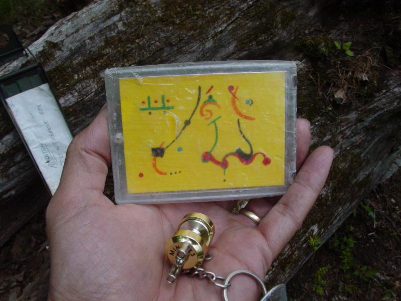


I
also logged through the
ppro Jeep Club Travel Bugs.
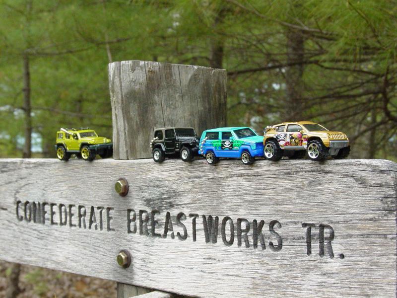

The site is interesting. We looked around at the various plaques
and made some photographs of the views.


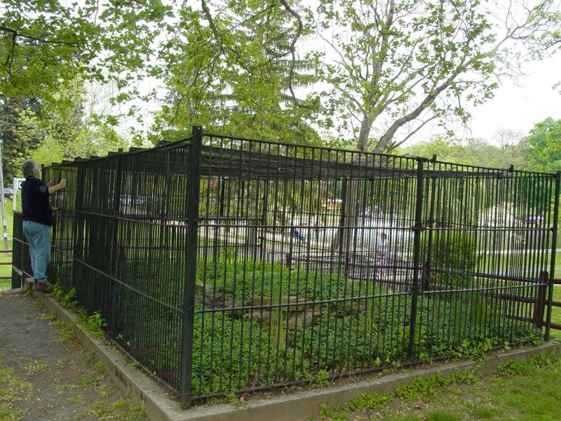
The next cache,
Caged, left us with a "Did Not Find". It was located in a
nice community park near what looks like an antique animal cage.
It was a micro cache and so small and so well hidden we didn't find it.
But the park was worth the visit.


After the park, we made a fuel stop and then headed for Big Levels.
It had been a few years since I went here. It was always a long
drive for me so it was a rare treat. This time was no exception
and the four hour drive from Maryland was short compared to the five and
change hours it took us to get here from West Virginia! Before we
hit the trail for the first time, we visited a cache,
Big Levels Micro, that was within a
few feet of the entrance to the trail!
Talk about small world! And to add icing on the cake, someone had
visited the cache earlier in the day!


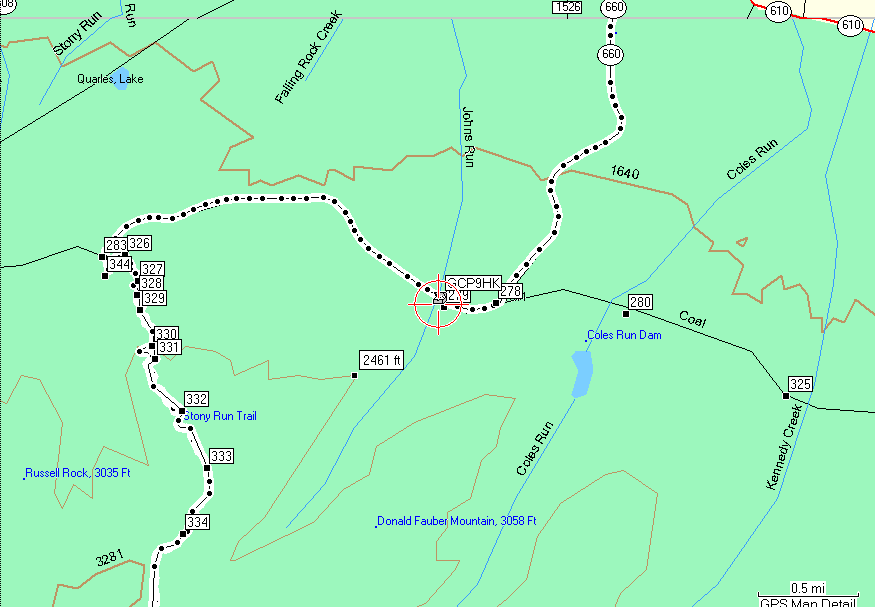
After logging the Big
Levels Micro cache, we drove down the road a little bit and got onto
the trail. We found a note left on the gate from April 15 from
some people who had gone into the trail and were asking that the gate
not be closed. Considering that the gate would be open for several
months, it made me chuckle a little bit, but it was a sign that there
was still interest in this area.
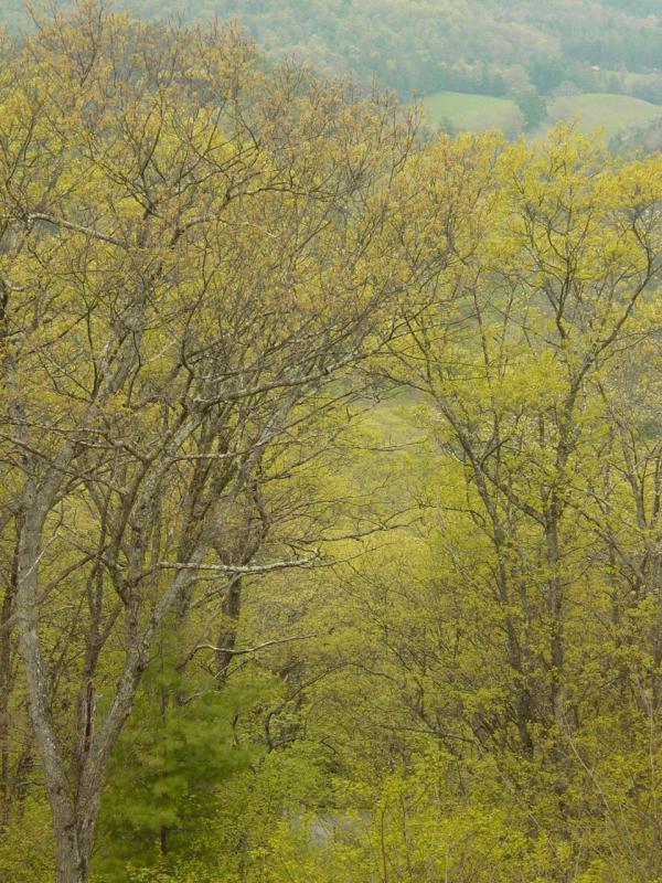
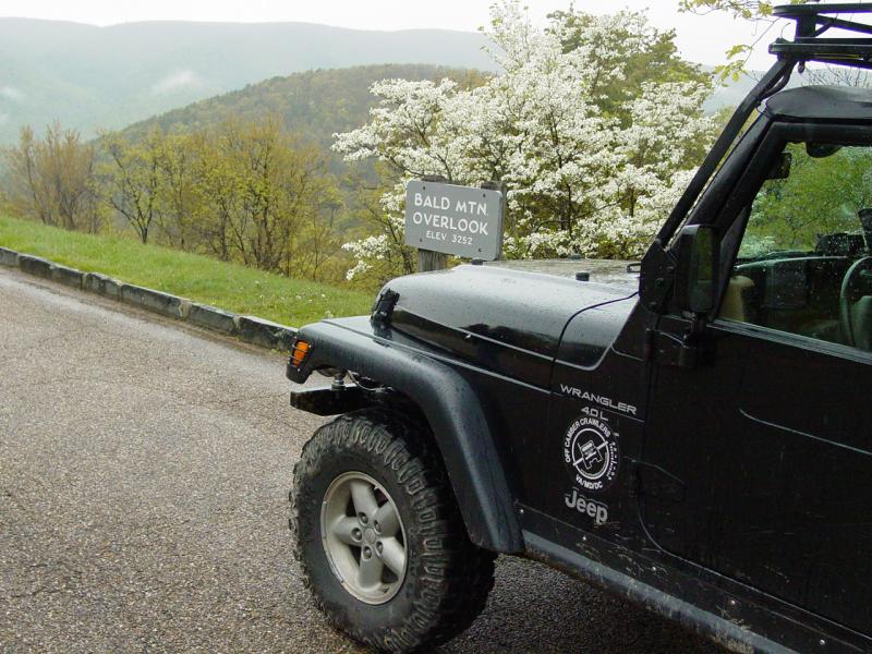
The trail was little
changed from when I came here in the past. A few sections were
closed as before but it was still a wonderful place to drive through the
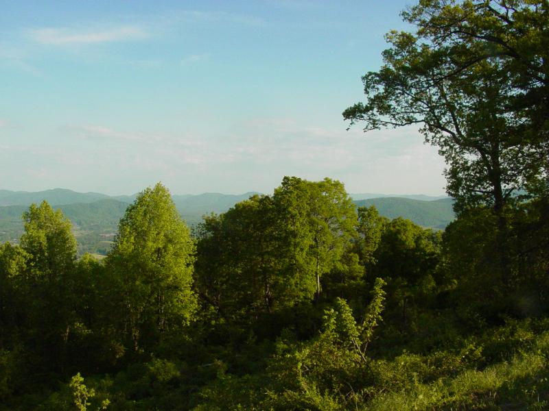
woods and up to the view on Bald Mountain Outlook. It was a
terrific run at one of my favorite places. Believe it or not, the
rain made it even better!


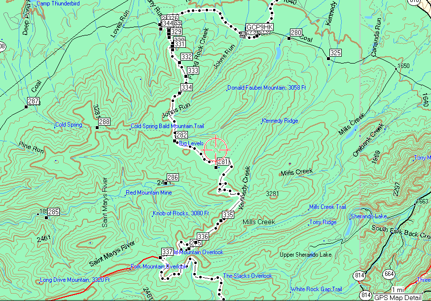
Out from Big Levels, we
headed down the Blue Ridge Parkway a little bit and took an overland,
gravel route down to Crabtree Falls and Shoe Creek. It was a nice
ride, and one of the few times I have not seen any vehicles on the road
the whole way.
When we came out the other
side, Mike advised there was another cache,
koz's krab kache. So we homed in on it
and logged it. Since it was raining pretty hard, I didn't take out
the camera for this one.
From there we moved up to
Crabtree Meadow, and onto the trail leading down to Shoe Creek.
This trail is in trouble. Lots of bad behavior has created a
problem with land owners and people who like to use the trail. We
had it all to ourselves and enjoyed our quiet drive down to Alhambra.


Upon reaching the end of
the Shoe Creek, we encountered one of the residents at the end of the
access road. I stopped and asked them about the impact of the
Jeeps from his perspective. He was very positive, saying it wasn't
a problem for him. That was good to hear. At least the
people living on the road to the trail don't seem to have anything
negative to say.
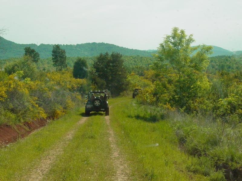
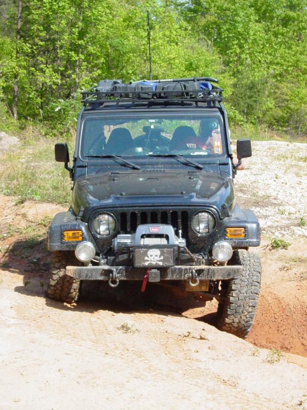
I Auto-navigated with the
GPS and we followed the course to Oak Ridge. The route we traveled
was the familiar paved route we've traveled many times in the past.
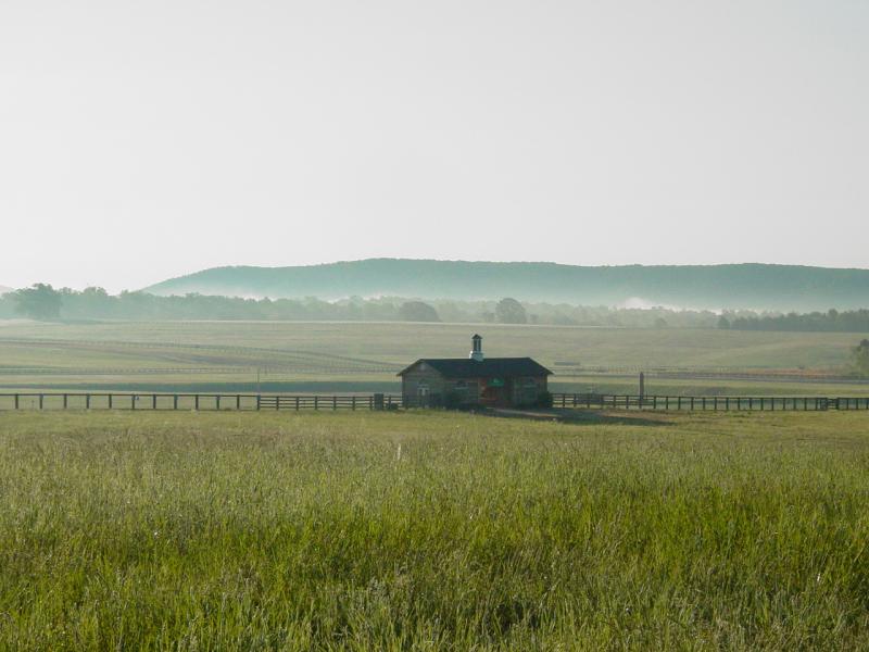
Soon we reached the plantation and the camping field. A very few
people were there. We asked and were told that the activity was
going on as scheduled so we drove down the field and set up the tent.
After we finished making
camp, we went to Vito's for dinner. We ran into Chris and Carla.
Their baby had just finished decorating some things with spit-up and
wasn't feeling well. As usual my timing is great. I said Hi!
to everyone and went inside to eat. Kenny and Carol and the Smith
gang were there finishing up dinner. Mike and I ordered pizza and
a few other things and had a nice meal. We headed back to camp and
went to bed just about right away.
5/6/06
I woke up a few times to
answer the call. The sky was incredible - black as black can be,
with stars to infinity. The train came through. The birds
kicked up a storm. It was great. Mike very nicely didn't say
anything about my snoring, and if he snored, I never heard it. We
decided to leave the tent striking for after the trail and took off to
get some breakfast, snacks and fuel for the Jeep. As I ate
breakfast, the Jeeps started coming through and before too long, we were
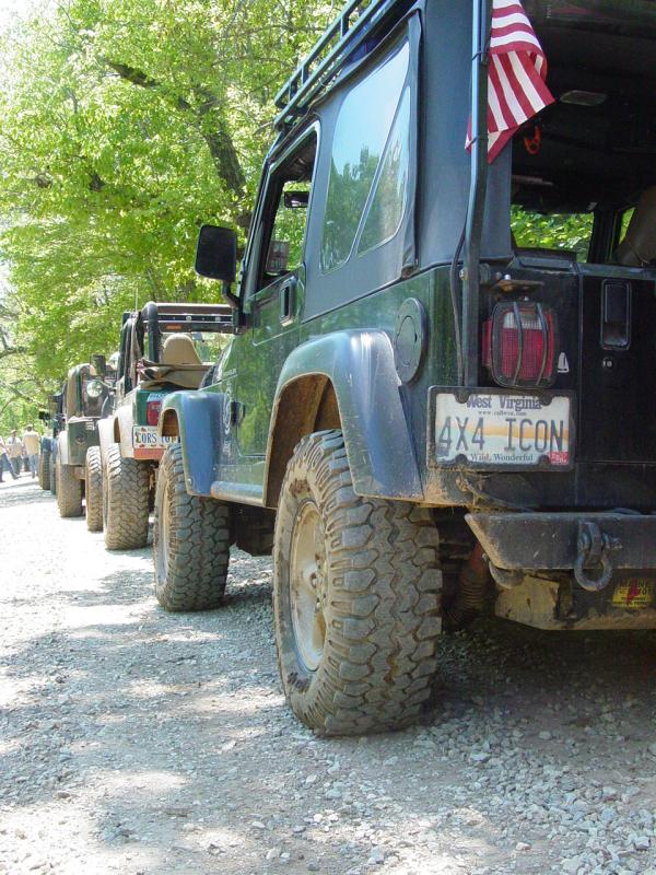
all in our familiar places at the muster field, checking out Jeeps,
making reacquaintances, and generally getting into that Oak Ridge
pre-run mindset.
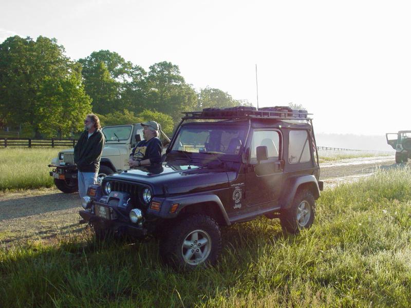
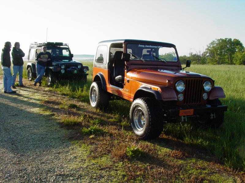


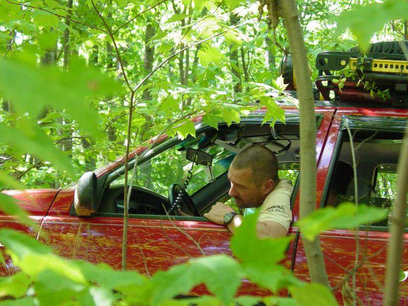
Chris took us through the
various points, organized everyone into groups. I lined up with
Kenny Smith and after a bit we had a small group.
-
Ken & Carol -
"Warrior" CJ
-
Robert CJ8 - Scrambler
-
Jonathan - TJ
-
Allen, Scott, Rachel -
Grand Cherokee w/ microwave and stuff
-
Cory & Rani - TJ
-
Mark - Cherokee
-
Paul & Mike - TJ
The other two groups were
much larger so this worked out well. Another group headed out to
cut a new section of trail.
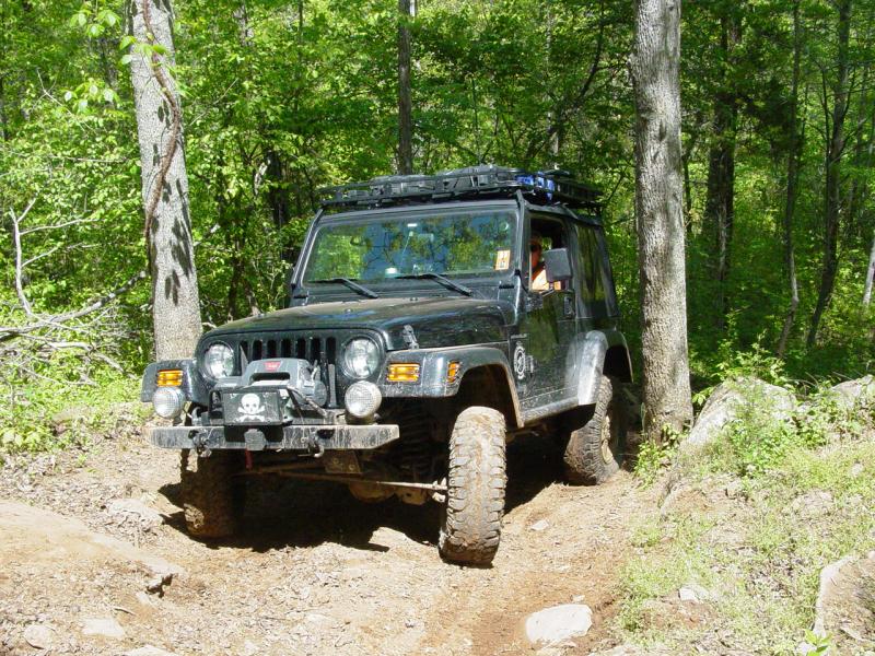
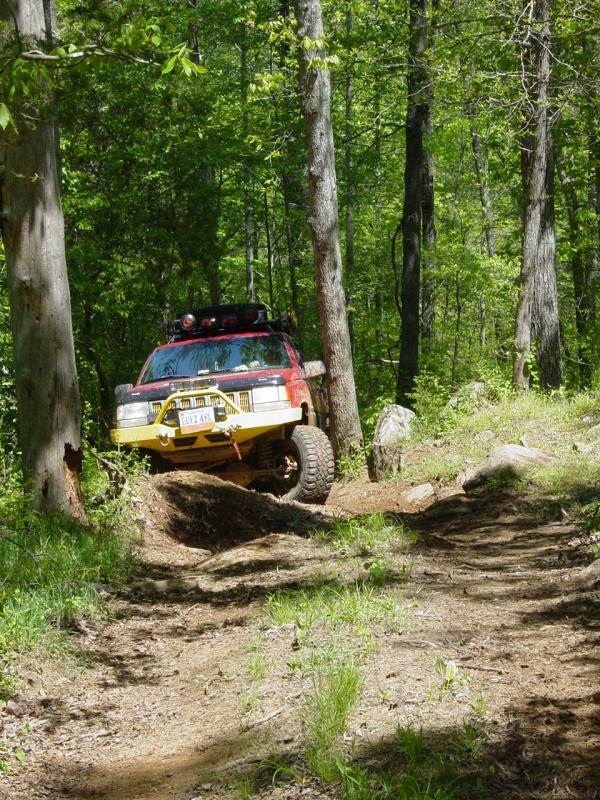
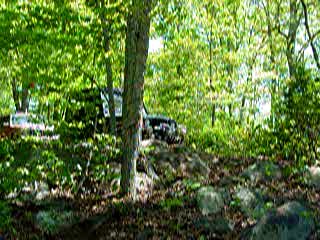
We started on old Trail 9
and ran that side of the trail system all morning. It was good to
get out there again.


Coming up the long hill
that is such a nightmare for people in the rain, we encountered some
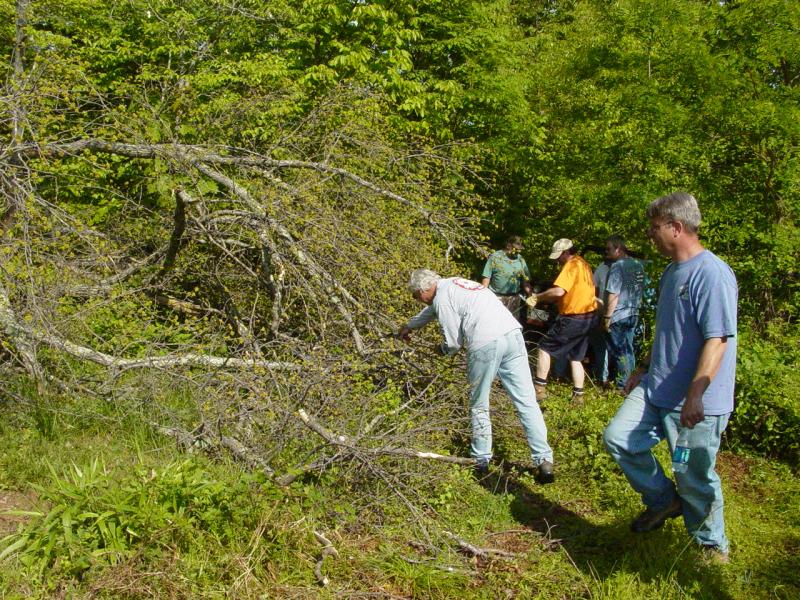
tree fall. So I broke out my bow saw and Allen his chain saw.
Everyone else pitched in and the tree was a brush pile in about three
minutes!


I managed to pick up a few
trail sections on my GPS track data set that I didn't have. I am
not sure if I will ever cover every last trail out here but I think I'm
getting close. This place is just incredible.
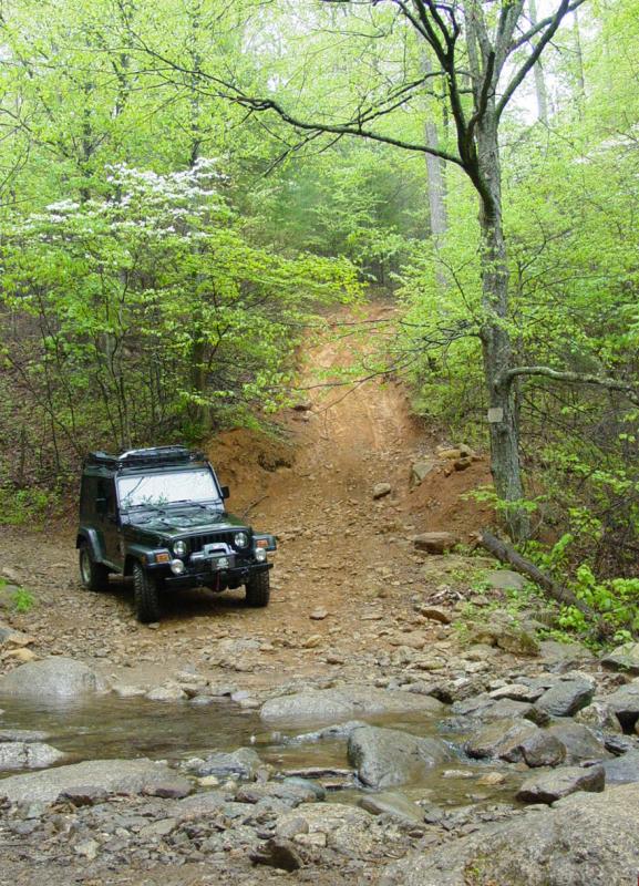
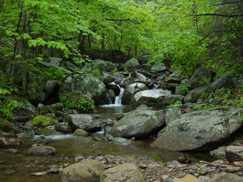
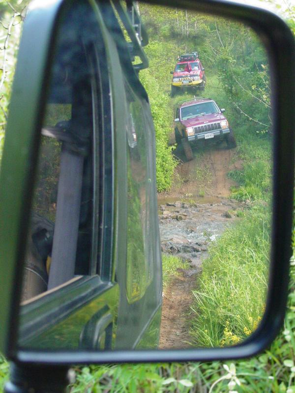
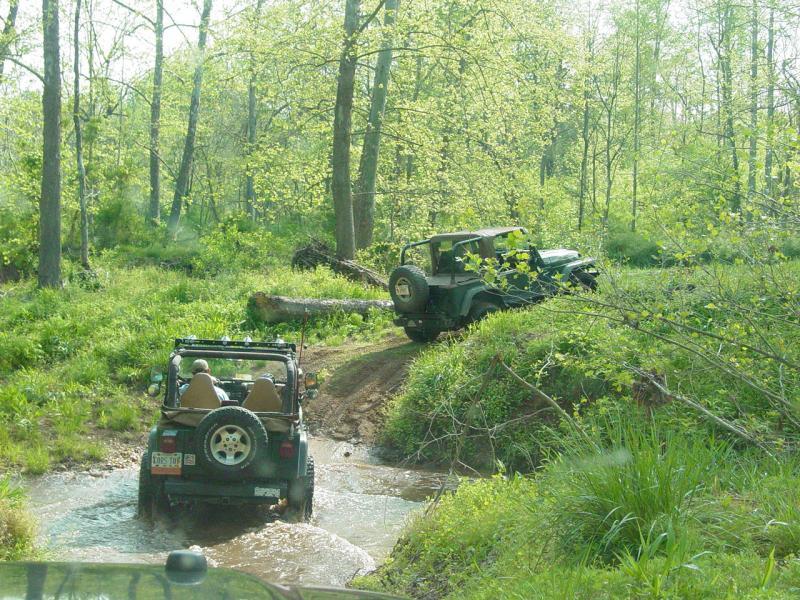
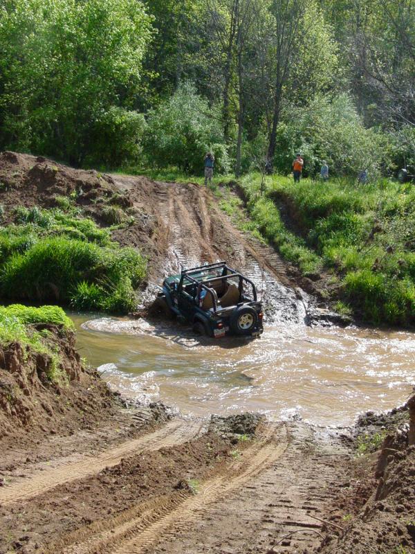
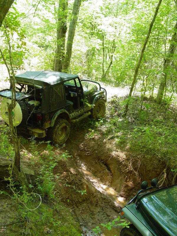
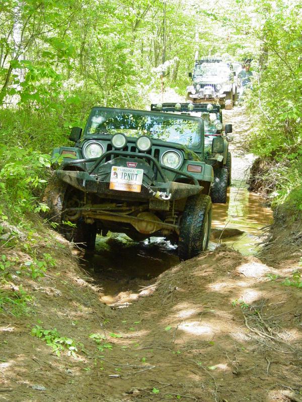
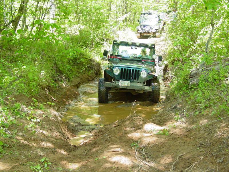
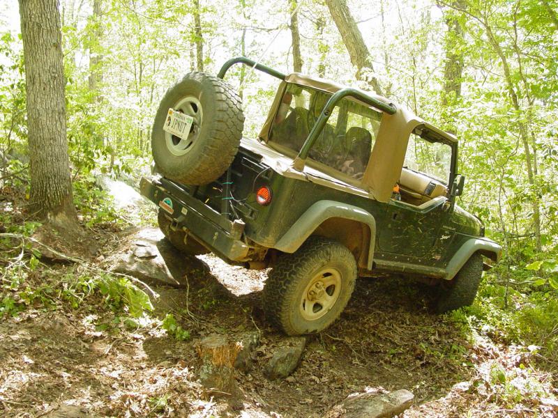
More stream crossings.
This one used to have a super-steep approach. The bulldozer took
care of that...


We came along to a burial
ground dating from the late 1800's belonging to the Sneed's. The
gate work and stones are very nice. It looks like some restoration
work is being done to make it look good again.


Robert cleared some vines
so we could get through.
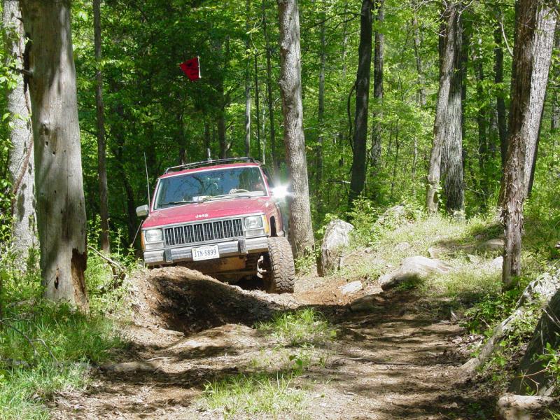
We drove the rest of the
way out and stopped just before the road for lunch. Then we drove
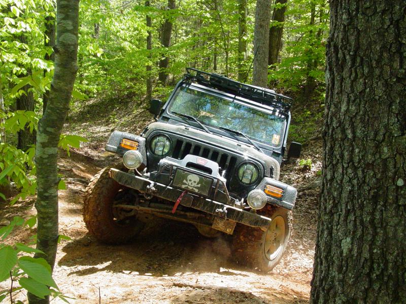
down to Trail 3 and went in. Pretty soon we got to the spot where
one fellow spent a large amount of time in a mud hole, I ruined a back
bumper and learned why Pirelli Scorpion A/T's don't cut it for places
like this. The play area was largely shut down, but the trail that
ran up the side of the hill proved to be a bit more challenging that in
past years. Everyone made it up the hill without any trouble.


After this we took a new
section of trail and connected back over to a section I ran the last
time I came here. There is a swampy section where a creek passes
through. One spot on the road presents a visual challenge.
But this time, just past it, there was a huge sink hole. It ate
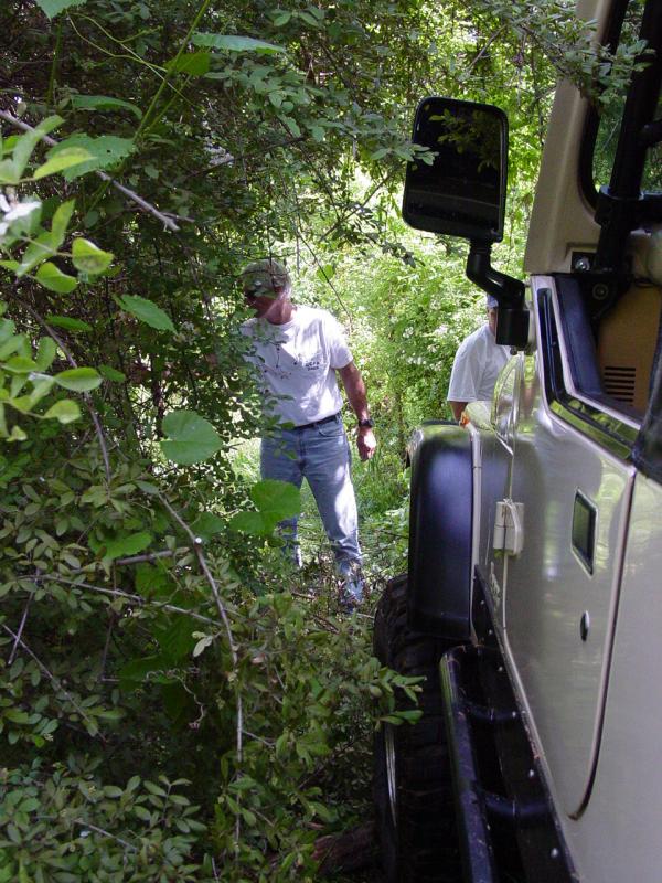
Roberts Scrambler. We came upon him completely swallowed up!
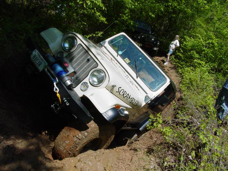


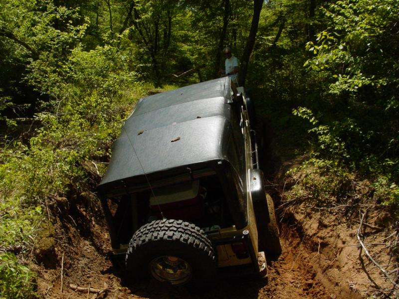


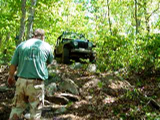
After Robert fell down and
winched out, Kenny closed the trail and cut a bypass. Then he
broke it in.

Next Came Jonathan.
He made short work of the new bypass too.


And Cory...
My turn...
Movie
Mark and Allen made short
work of it too. That left us popping up on the county road where
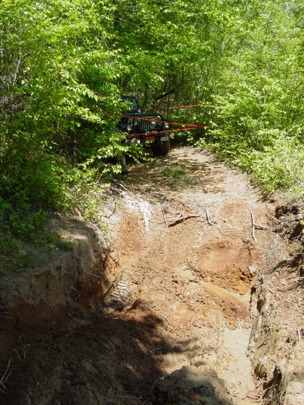
we found the trail cutting crew taking a break.


So of course we had to go
run the new trail segment!
Kenny and then Jonathan
give it a go.


Cory pretty much just
jumped off the edge. Check out the movie.
Movie
I had lingering doubts but
decided to try it anyway. Another movie with clicks and bumps!
Movie
Then we went over to Trail
6. Another one I didn't have GPS track for even though I ran this
one a few years ago...


Then over to Trail 7.
It's a nice long climb up to the rocks and then back down to the
playground.


There were some mud wasps
busy building a large lodge. We stayed away. I went and ran
the playground once and then came back out. The little crack in
the dirt was good for a flex shot.
I had been watching the
time all day and had calculated that we had just enough time to run
Findley Ridge. Alas, we ran short and the rest of the group would
run it on Sunday while I was packing for a business trip! On the
way out we swung through the car wash and surprise surprise, who did we
find secretly primping and preening? Robert of course!


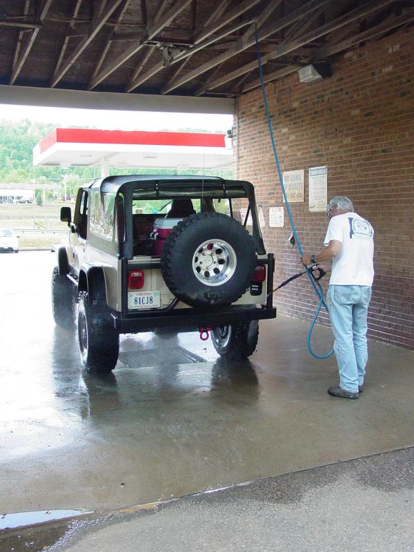
We took our turn in the
bay and got most of Big Levels, Shoe Creek, and Oak Ridge off the Jeep
but I don't think I could ever wash it out of me!