Flatwoods Factory Outlet Stores

I like to shop so we both had a good time. We
checked out most of the stores. We bought a butter dish at the
Everything Fiesta store, some clothes at another, and trekking poles
for everyone at the
Coleman Factory Outlet Store.
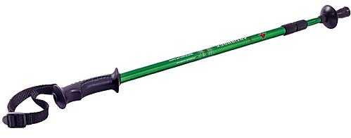
I was going to get one, then I remembered that the
kids had been asking for them. Then I decided that Maria should
not be left out. So I bought four, along with a pair of butane
lighters for later at the cabin.
We got done at the outlets around 4:30 PM and headed
out for Holly River. We had a little trouble because the road
connecting to Route 15 from the interchange area didn't exist where the
GPS map indicated. I found a work-around and we were on our way.
Holly River
We got to the
park headquarters at 5:45 PM and retrieved the cabin keys from the
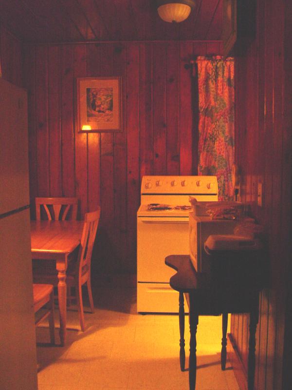
office. We went up to the cabin and got things put away then
came down to the park restaurant for dinner. We had a nice
meal. I picked up a couple Holly River stickers for the travel
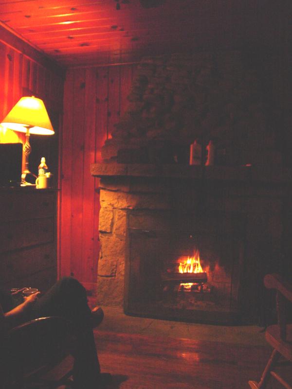
trunks. We went back to the cabin and got squared away.
We lit a fire in the fireplace and got cleaned up. While Maria
was busy I spent some time looking at Geocaches for Saturday.
I decided I really wanted to do the
Big Mountain Lookout Tower cache. I located it on the map
and read the listing:
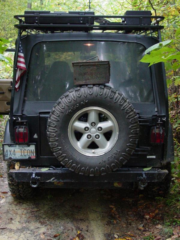
"Big
Mountain Forest Fire look out tower high above the Elk River.
There's no doubt about it, you WILL need a 4 wheel drive."
A little
further down I read a finder's log entry that said in part:
June
27, 2004 by
Team BattleCache
"...Even
if I got over the drain, I don't think a 4X4 truck would make the
grade, a four-wheeler would not have any problems but there were a
couple of spots the road had slipped and not quite wide enough for a
truck...The cache has outlasted the
lookout tower - it is no more...
"
I contemplated
this for a good long while. Maria doesn't enjoy "extreme"
4-wheeling. This trip was not meant to be a four-wheeling trip
and I wanted to keep our time together stress-free. So I
didn't really want to spoil things by getting crazy on a mountain
road. But this cache really called to me so I took the time to
plot the course along the Elk River and around up to the Fire Tower.
I would explore this with Maria later and see what she thought.
The other
caches I wanted to visit were the
Dreamer's Meadow Cache and the
Holly River Cache. Dreamer's Meadow looked like a nice
walk that we could handle and the Holly River Cache sounded like it
was a short walk from the cabin so I marked them both and also saved
the Mobipocket data file in my Blackberry for later reference.
We watched a
stupid comedy movie (High
School High) and had a few laughs and then hit the hay.
All night long I thought about the Big Mountain trail and tried to
convince myself it was do-able...
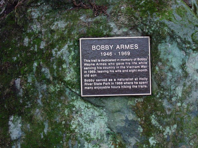
Reverie Trail: Dreamer's Meadow and Tecumseh Falls
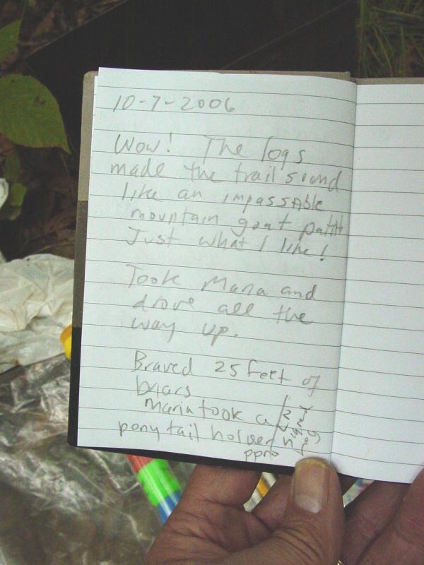
10/7/06
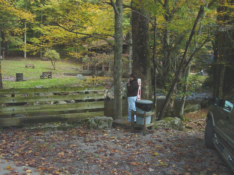
We got up bright and early, cooked breakfast at the cabin then drove
down to the pay phone so Maria could check in with the kids.
While she was on the phone I drove up to the trail head for the
Reverie Trail and confirmed that there was a spot to park the Jeep
off the pavement. I took the coordinate and went back to pick
up Maria.


We drove back and
parked. As we were crossing the road, outfitted with the day
pack, the new trekking poles, the GPS, Blackberry, etc., a woman
walking a wee dog shouted across the road to us "Are you doing the
Geocaching thing?"
I couldn't very
well deny it with my GPSr in my hand and standing at the trail head
to a cache, could I? But it struck me as really loud somehow.
Maybe it's my own desire for privacy or something. I looked at
the GPS and I looked at Maria and "confessed" that yes, we were
going to hike the trail and check for a geocache while we were up
there.
"You're going
the wrong way - you can't get there that way! I went all the
way up that way and had to climb down a cliff to get to the cache -
it was horrible!" I managed a weak "Well, we do this a lot and
we're pretty sure this is the right way, thanks." The woman
persisted and managed to unnerve Maria to the point she was debating
our choice of paths.
Thanks, I
needed that. I replayed my research activities in my head.
1. Mike
told me about the cache and his hike with his wife a couple weeks
before. Knowing what he is willing to go through I was pretty
sure if there was a cliff involved, he would have said something.
He had not.
2.
The maps - nothing on the maps about a cliff. Just a hike
along a stream up to the location.
3.
The finders logs. None of the people that went there said
anything about any terrain hardships.
I asked Maria
if she was going to let a perfect stranger undermine her confidence
in my navigation skills. She confessed it did seem a little
silly. We continued up the trail with the woman watching us
like we were nuts. It was a strange encounter.
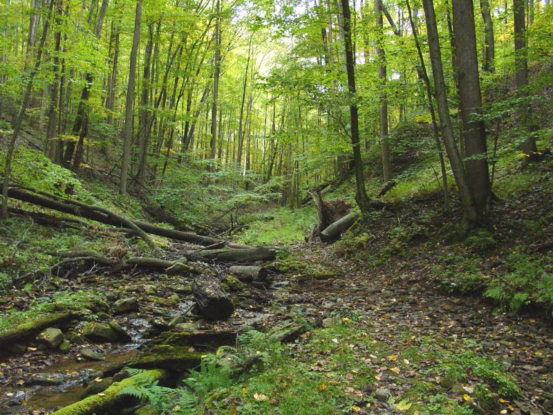
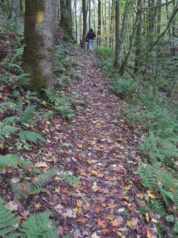
The trail to
Dreamer's Meadow is perfectly lovely. It follows the stream up
gradually with a few crossings where you might get the bottom of
your shoes wet. I could see a person walking the trail in
sneakers or flip-flops having a hard time but hiking boots are our
standard footwear; today was no exception.

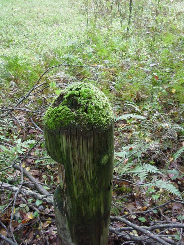
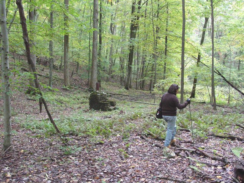
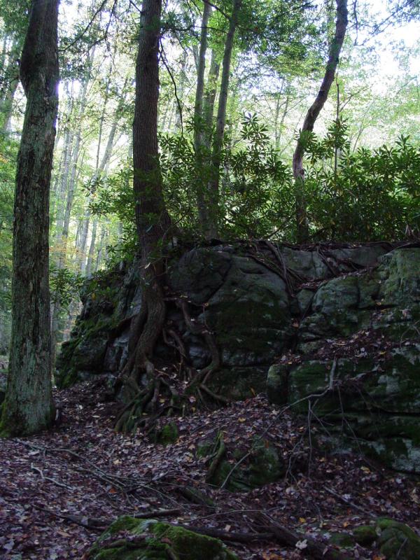
We reached the
meadow. There was a moss-covered post at the entrance but the
meadow was at first unremarkable and there was no sign to mark it so
we were unsure if this was the place.


The trail ran
to the right and up a steep hill, and the cache was indicated to be
some 300 feet north of our position.
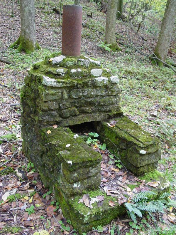
We spent a few
minutes walking to the right of the meadow and stopped about 100
feet beyond the meadow where we found a curious fireplace.
Rather than get
stalled there, and with the clues suggesting we were too far away
from the meadow, we continued up the trail to Tecumseh Falls.

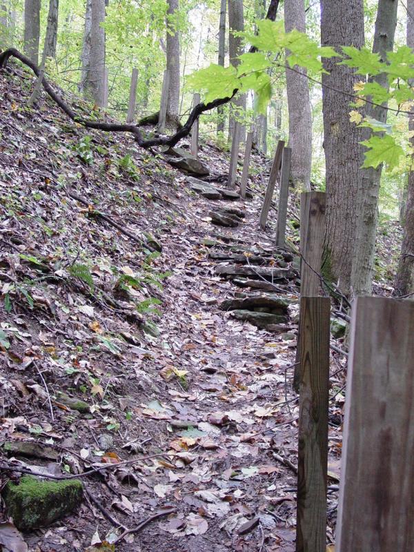
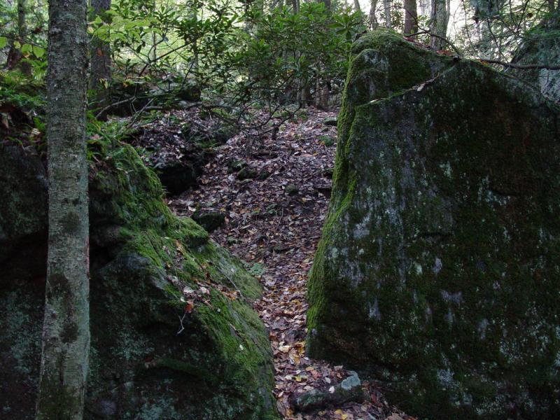
Along the way
we encountered some stairs that promised to make the climb a little
easier. It probably did but it made the steep section look
more ominous than it probably really is. We didn't have much
trouble though. Was this the "cliff" that the woman was
talking about?
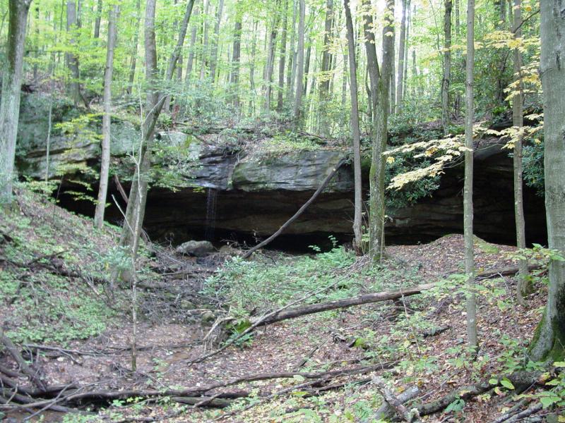
Once up the steps,
we continued to the falls. It is a beautiful, peaceful spot.
There was just the faintest of a trickle of water coming over the
slab of rock. We looked around a little, while we caught our
breath, and then retreated back down the trail, down the steep
steps, and then along the trail and back down to the meadow.


I noted some rails on the
trail on the way back down.


I restarted the
"find" operation on the waypoint provided and walked directly to the
indicated location. This was about 330 feet north of the post
(not 75 as claimed in the geocache listing). I found the cache
and soon Maria was with me.


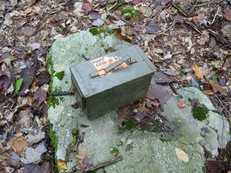


We checked the
contents, signed the log, and took a break for lunch.
After lunch, we
hiked the rest of the way back down the trail we had come in.
We could have followed the trail in a full circuit coming back down
by the cabins, but I wanted to save some time and move on to the
next cache...


Maria suggested we go
back to the cabin and take a siesta. I told her about Big
Mountain. I told her that it had been described as potentially
impassable with a vehicle. I asked if she'd mind if we just
went to see for ourselves. I reasoned that if we got there and
it was over her threshold of tolerance for a low-stress afternoon,
we'd either hike on foot if it wasn't too far, or skip it
altogether. It goes without saying that even if she was fine
with what we found, I too might have my own reasons for not wanting
to go up, and I reminded her of that.
Elk River
So she agreed
to go along. We drove down to Webster Springs, Maria slept
most of the way. We then took the Elk River Road along the
(what else) Elk River. It was intriguing. There were
lots of houses along the 20-somthing mile road all the way to the
foot of Big Mountain. Most houses were on the west side of the
river. I noticed a few fords but for the most part there were
big suspension foot bridges. One was wide enough for the ATV
that was parked on the bridge on the east side of the river near the
road. Another was listing eerily and was a patchwork of gray,
rotted, and otherwise scary materials. A car was parked nearby
and it tested my imagination that someone actually crossed the
thing. Another one was very robust, with what looked like very
new materials, and was dead level all the way across it's long span.
Ironically it had a sign warning that crossing was at your own risk.
We eventually made our confident crossing at Clifton Ford where a
large modern span carried us over the river-level ford that still
exists.
The road
gradually deteriorated. From pavement to hard-packed gravel.
From wide hard-pack to narrow hard-pack. From narrow hard-pack
to rutted and muddy dirt. We came around the mountain and
spotted some campers near Elk River. Here we turned up a
little more steep trail and I knew the fun was about to begin.
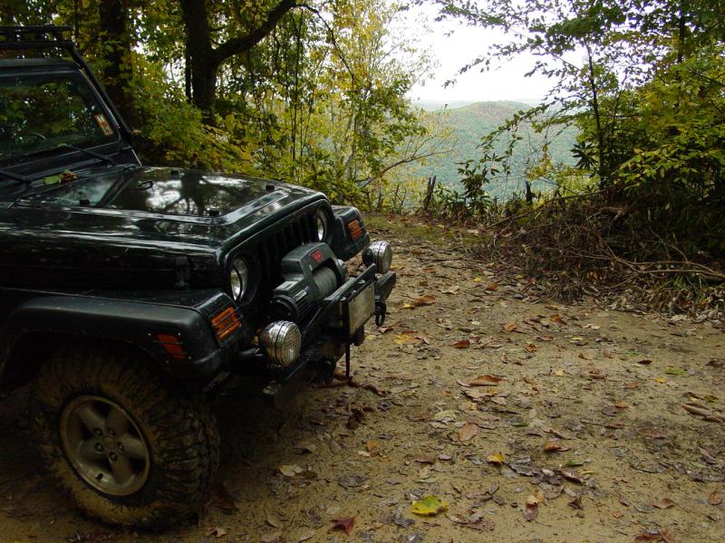
Big Mountain
I watched
Maria's face. No change from the relaxed look she had while we
drove along Elk River. I had already slipped it into 4-LO at
some point in the last few minutes so that transition was already
done when we got here.
I drove up the
trail a ways and noticed skinny street tire tracks. It seemed
strange that anyone driving a vehicle with tires like that would be
up here. But the trail was pretty easy so far so I figured
we'd either find it parked up ahead or see where it turned around at
some point.
The trail did
get rougher so I stopped, aired-down and disconnected. Still,
Maria was relax and happy to continue along the trail. So far
I had seen nothing challenging for us, though I could see where
people who do not drive off-highway might be starting to think twice
about driving a road like this. Meanwhile the fresh tracks
from the skinny street tires continued up the road...
We reached the
spot where one geocache log entry had mentioned a drain across the
road. When I reached the spot the drain was there. But
it was perfectly fine with just a slight grade up to it and the road
continuing over it. If I hadn't been warned to watch this spot
I wouldn't have even noticed it. Just the same, thinking the
drain was rotten and waiting like a sink hole to swallow me, I got
out and walked up to it to see if it was OK. There was nothing
wrong with it at all. The only thing I can think of is that it
has either been reburied or replaced because a car could drive over
it the way we found it.
So onward and
upward. The road did get a little steeper but nothing like the
worst I've ever seen. This was a decent road leading to a fire
tower. Even abandoned for four years, it was still very
passable for us.
Pretty soon we
found where the skinny street tires had slipped off the trail and
evidence that whatever it was, it had been pulled back on the trail
by another vehicle. There were marks where tires had spun,
probably snatching the skinny-tired vehicle out. There were
spots where a jack had been used and pieces of wood. The plot
thickens...
The trail got a
little steeper and in a couple spots it was narrow but the skinny
tired vehicle continued and so did we. Then we found the
answer to the mystery.
The skinny
tired vehicle was a reasonably large house trailer that appeared to
have been hauled out here by a pick-up truck accompanied by another
pick-up. The trailer was set up just off the side of the trail
and the two pick-up trucks were parked next to it. A satellite
TV antenna was mounted on the side. The people were apparently
inside.
The trail from
here got rocky and steeper but still Maria sat calmly in the seat
beside me. So I said a silent prayer that it didn't get any
worse and kept going.
The trail
deteriorated continuously from there. We went past several
narrow spots, several deeply eroded sections, some fallen trees, but
finally we crested the top of the mountain. The trail
continued roughly level for a good distance. Here the trail
was pitted with several deep mud holes. We pitched violently
into a couple, one putting us at a pretty serious tilt, but no
problems.
Then we turned
down what looked like an ATV path and landed with the Geocache
coordinates indicating the cache was 30 feet directly to one side.
The log entries told the tale of thorn bushes and true enough, it
was a briar patch of the first degree. If it had been 100 feet
away I would not have bothered but I figured it wouldn't take too
long to go 20 or 30 feet. But it took long enough.
I found the
cache. There was literally no place I could open it up and
relax while I wrote my log entry so I picked my way back to the Jeep
with the cache and took care of all that.

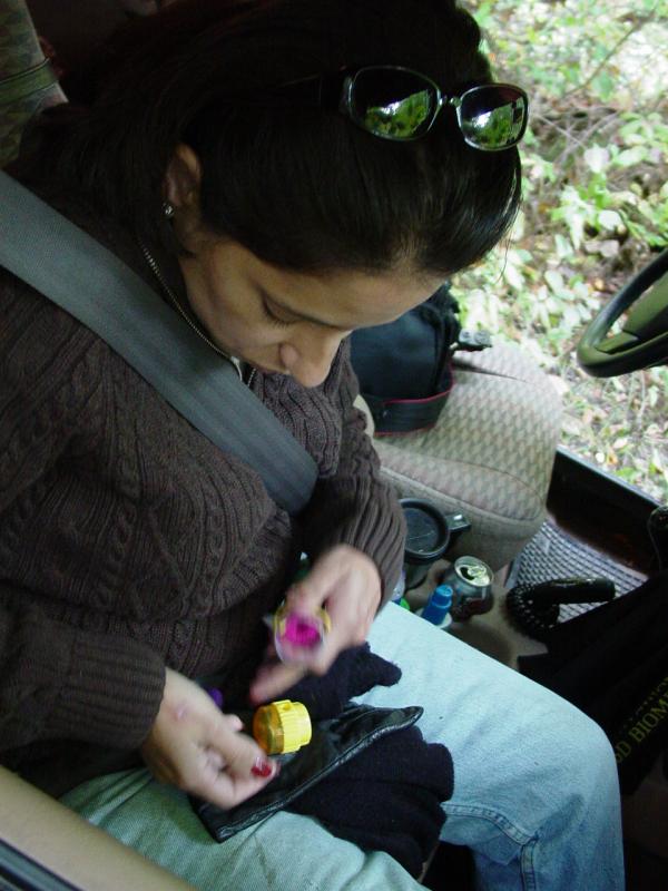
Maria had
wanted to get a pony tail band when we left in the morning but could
not find one. Lo and behold! The cache contained a whole
tube of them. She picked out a yellow one!


I logged my
travel bugs and so on, then packed the cache and returned it to it's
hiding place.


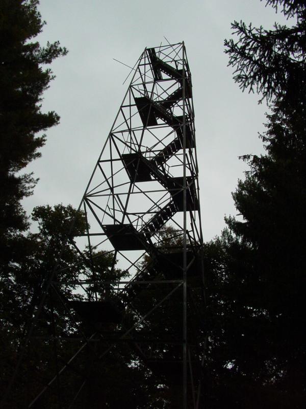
I took the rest of
the road up to the location of the fire tower. While one of
the buildings was partially demolished, the tower itself was still
there. It was in pretty bad shape though. I had no
intention of climbing it as the first landing was gone and the steps
were made of wood, most likely in a bad state of decay. It
would be for some other fool to climb it!


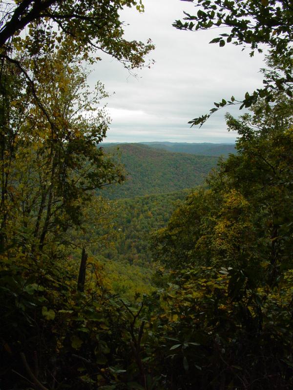
We picked our way
back out and down the mountain after a stop at an outlook someone
had cut in the mountain laurel. The view was pretty striking!


The ride down the
mountain was uneventful though the erosion and narrow spots did keep
me from getting too casual about my driving.
When we reached
the Elk River Road again, I turned toward Centralia and drove until
we reached pavement. Along the way we were followed
by an ATV rider, and encountered another who was looking for his two
girls. He found them while I was loading a search into the GPSr.
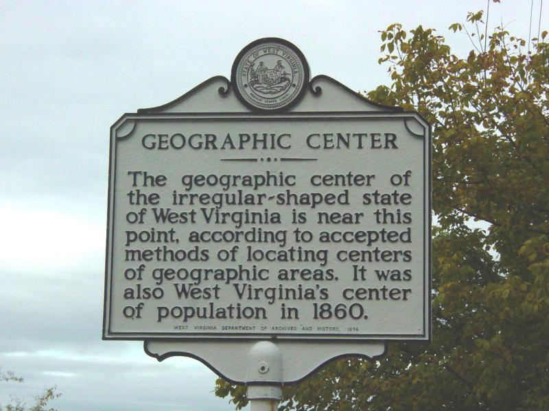
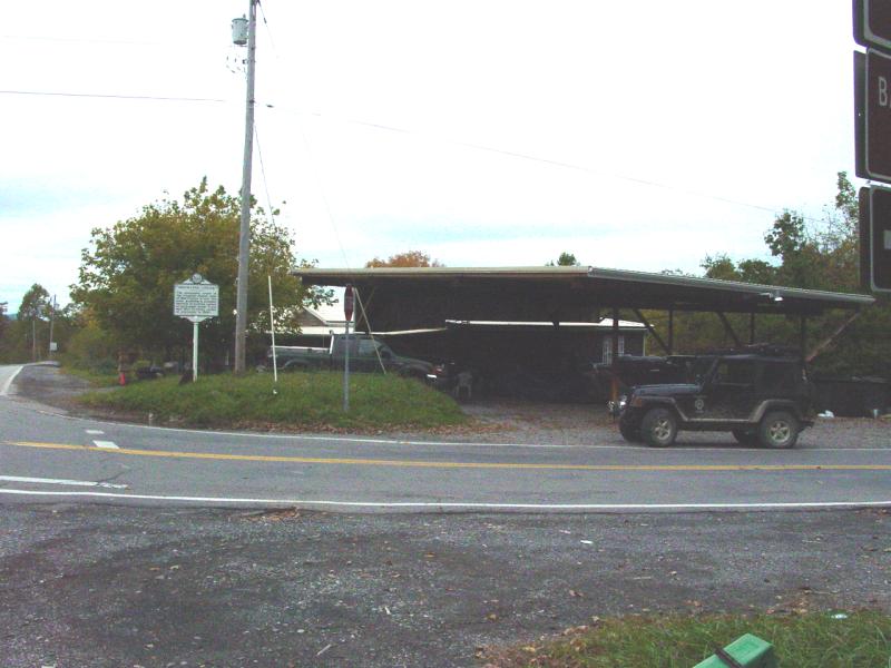
Getting closer
to civilization again we came to "the geographic center of West
Virginia. I thought my friend Mike would like this so I stopped
and made a photograph of a marker commemorating the spot.
Sutton
The search was
to take us back to the cabin. It took us through Sutton where
I stopped to get gas and to air up.
We were tempted to
get a bite at one of the local family-style restaurants but Maria
had been told about a "fancy Italian place". So having discovered
that the family restaurant didn't take plastic, we decided to go see
what the Italian place looked like. That was a good choice.
Sutton looks
like a town being rediscovered. The downtown area looks to be
getting some attention. It's one of those town's that could be
the pattern for "Main Street USA". We drove over and parked
near the fire station, across from City Hall. On the corner in
the space where a hardware store had been,
was
Cafe
Cimino.

We peeked in
the window at the menu and saw that it was probably going to be just
what we needed, we decided to go in. Now imagine that we hit
the door fresh from hike and four-wheeling, with me wearing
camouflage, and both of us wearing hiking boots and probably not
terribly presentable. Maria was much better than me.
We were
welcomed in and shown a table near Jim Walker who was playing the
piano. We soon were given menus, told about the specials,
ordered drinks and appetizers, etc. From beginning to end it
was the best dining experience that Maria and I have had in a long
time. She had Chicken San Marino and I had Shellfish Pescatore.
The soups we had were out-of-this-world. Try the Creamy
Italian Mushroom - it's superb. I could go on at great length
but suffice to say this was the complete opposite of the rough and
woodsy day we spent, and it was just what we needed to celebrate the
day.
After we
splurged on desert, thanked the hostess and server for their
kindness, we set a course for the cabin. We listened to Ottmar
Liebert (Solo
Para Ti) on the one-hour drive in the dark. It was an
enchanted ride in an enchanted place.
We got back to
the cabin close to 9:00 PM, completely spent. We got a fire
going and watched a movie (Wind
Walker) about some Native Americans and their lives. It
seemed a good way to wrap up what was a wonderful day.
Holly River Cache
10/8/06
Since we had to leave
on this day, we spent most of the time we had left cleaning the
cabin and packing. But we took some time to have breakfast and
have a fire. While Maria did a couple things I made an
abortive attempt to go to the Holly River Cache. After walking
a little ways on the self-guided nature trail I soon realized that
it would be much easier to go up to the cache on the road, instead
of my walk which would make me late for check out and leave Maria
dealing with all the stuff.


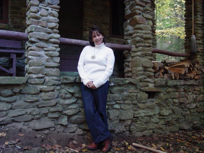
So I walked back,
helped pack the Jeep and then take a couple pictures of us together.

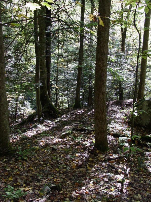
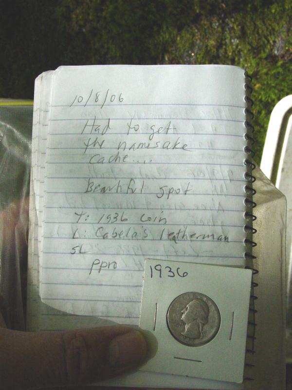
Then we drove up
and I walked down to the Holly River Cache. It was easy to
find and was situated in a bright sunny spot that you can't see from
the road. It was nice. I traded an item I had from one
cache for a 1936 Quarter.


Then I walked back
up the hill to the Jeep and we hit the road for home.
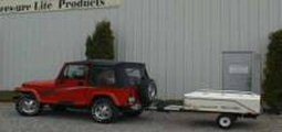
When we stopped
for gas I saw a trailer tent that I want to investigate further -
Lees-ure Lite.
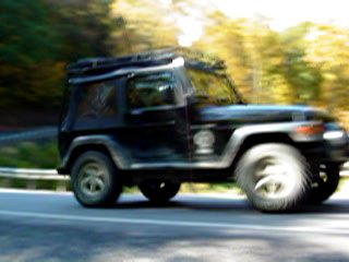
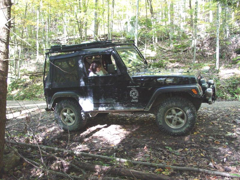
Along the way
we stopped for gas and air. Maria made a little movie of the
Jeep going down the road for me.