When we
got to the turn off for Brownfield Hollow, we just drove in. We
didn't air down yet because I just planned to drive to the location
shown in the USGS map where a cave was noted. On our way in we
noted that the Saw
Mill had collapsed. The snow a week previous must have been
too much for it!
Very
near that spot we found a cave and got out to check it out. The
cave was not much more than a deep overhang though technically it was a
true cave. It had a fair amount of trash about, a little trickle
of a creek ran through it, and the floor was steeply slanted. We
started our picture taking activities for the day here.
After a
few minutes we'd pretty much exhausted the nooks and crannies of the
place and got back on the road for the Geocache.
When we
got to Quebec Run Road, we stopped to air down and disconnect.
This wasn't about wheeling - it was about a comfortable ride on the
rocky dirt road we'd be driving most of the day. While I did this
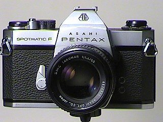
Ted got more familiar with the SpF and took lots of pictures. I am
pleased with the level of interest he has taken and look forward to
seeing what happens as time goes on. It's nice to finally turn him
loose with a decent camera and see what he can do.
With the
sway bar disconnected and the tires aired down, we set out once again
for the parking area near Quebec Run and the trail head for the Grist
Mill. Pretty soon we had reached it. I stowed all the
electronic gear we would not be bringing and organized all the camera
gear, snacks and GPS. We put the windows back on the Jeep and
walked down to the Grist Mill Trail head.
We
started up the trail and made it a few hundred yards when I realized I
was not sure about the GPS waypoint I had chosen to navigate to.
It looked right but unfortunately I had made a couple other marks and
was confused about what they were. Rather than chance navigating
to one of the other marks instead of the cache, I had an idea.
I took
out my Blackberry and brought up the Geocaching web site. Yup,
wireless access to the internet from my Blackberry in the woods.
The screens loaded slowly but pretty soon I was logged on and had my
"Watching" page up. I opened up the Grist Mill page and got the
coordinates. Then I entered them into my GPS under a new waypoint
and sure enough, I could tell which waypoint entered previously was the
right one (same as the one I just entered). We set our navigation
to the cache and set out on the .6-mile walk.
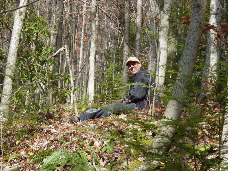
We went
up the side of the hill to a high point and then turned back down the
hill to the spot where the Grist Mill had once been. The walk in
the woods was quite beautiful. The woods was fresh and bright with
autumn leaves close to completely fallen, but still plenty of color to
make it interesting.
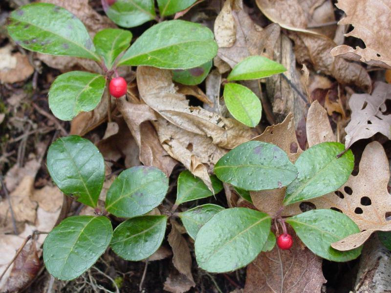
We found
Wintergreen berries and tried them out. I love them but Ted found
them too bitter for his young taste. We took more pictures and
moved on.

Pretty
soon we reached the Grist Mill. All that remains are some stone
structures and some earthen channels.

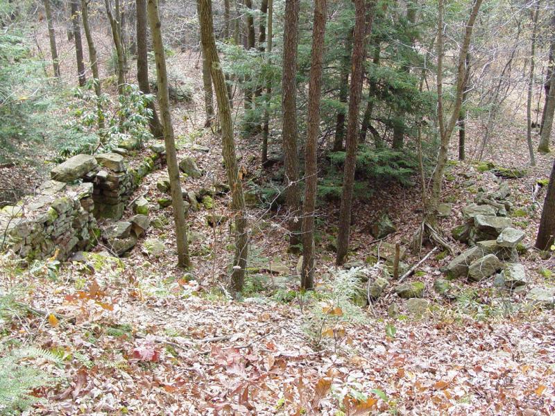

Amidst
all this was the coordinate for the cache. And it was spot on.
On the exact spot where the GPS said the cache was located, I found it!
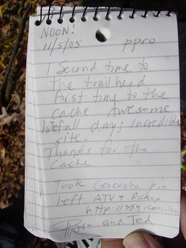
We
opened it up, inventoried the contents and signed the log.


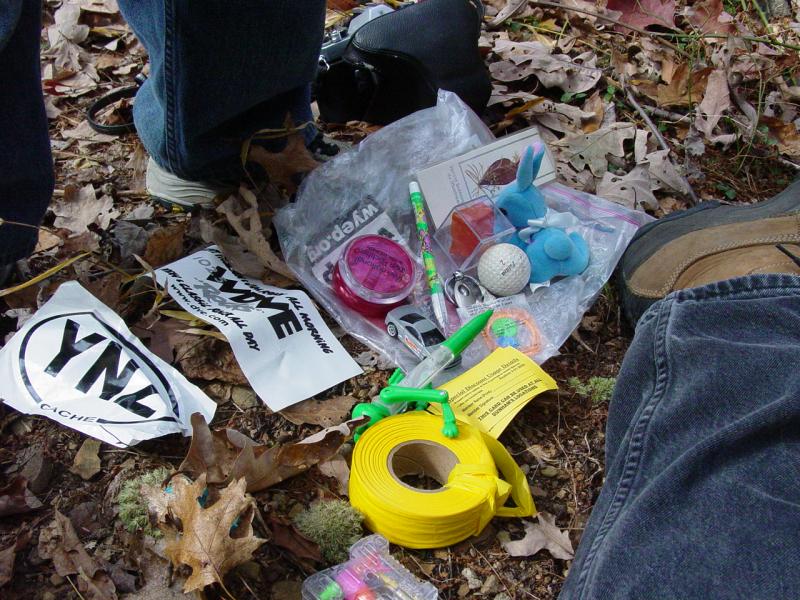
We took
more pictures and then had our snack of bananas, chips and drinks.
The sun was warm, and the woods was just incredible.
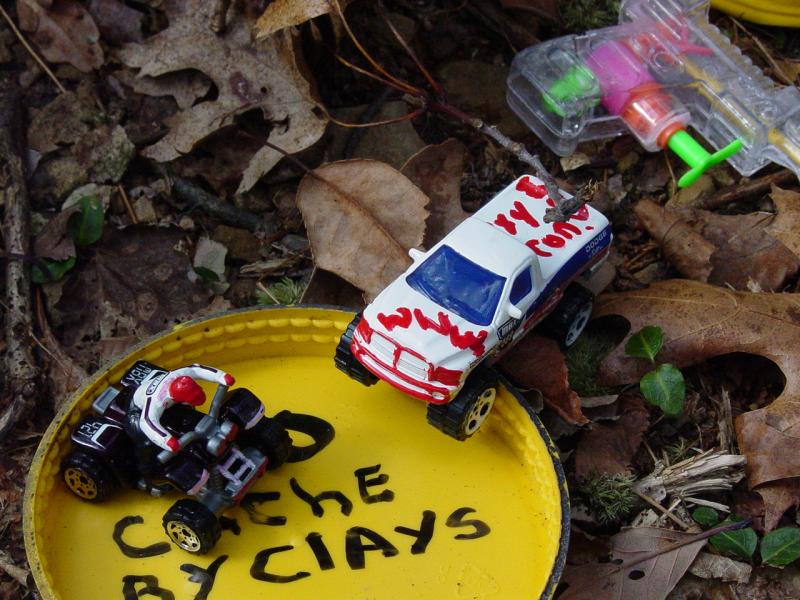
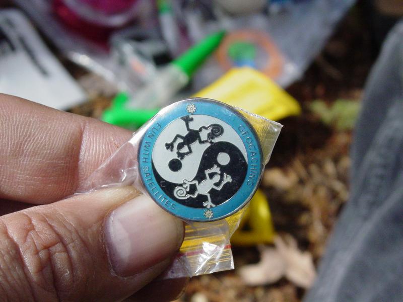
After we
signed the log and traded two matchbox off-road vehicles for a Tomy
Space Invaders game and a Geocaching pin, we packed up the cache,
returned it to its hiding place, and set out back up the Grist Mill
trail.
We took
our time going back and encountered at the parking area a man who had
been biking the trails. We enjoyed a brief conversation with him
and then got on the road.
I
checked out two 4-wheeling spots that I had heard about but found both
entrances gated and posted. We missed hitting a couple other
caches but it was getting late. On the way back we had a late
lunch at Little Sandy's in Bruceton Mills, and then returned there all
the way from Morgantown because I forgot my jacket on the chair at the
lunch counter.