From: "Carl E.
Smith" <
Date: Mon Jan 2, 2006 10:02 pm
Subject: Official OCC New Years Day Run 2006 Writeup
OCC New Years Day Run 2006
Meet at Wendy's at
8:00, It was a surprise to see Randy and Carol Wood show up in
Randy's large Ford F-350 ready to go wheeling! After getting the
necessary paperwork filled out and collected we pulled onto the
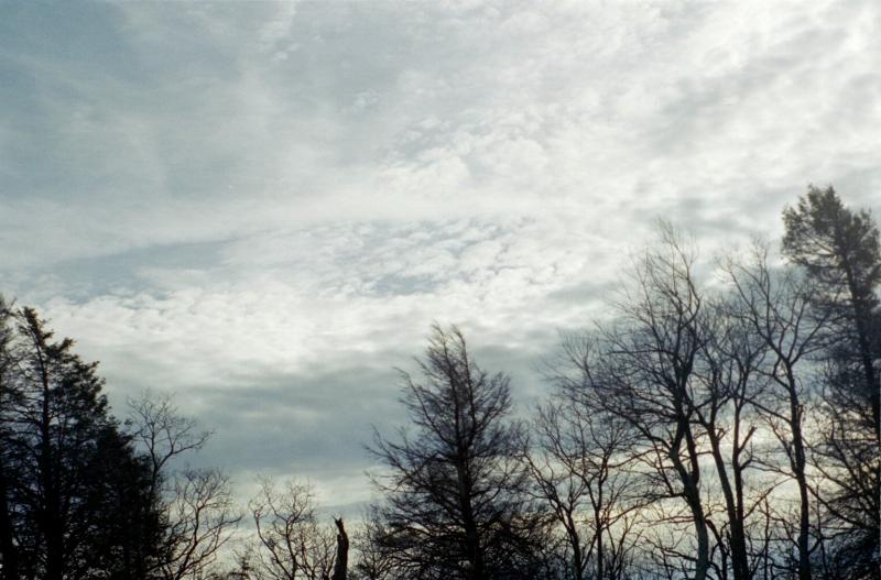
highway at 8:10 am. It was a great morning. Mostly clear with
warm (for the season) temperatures. The drive to Harrisonburg
was uneventful. We arrived at the Sheetz around 10:00. Right on
time
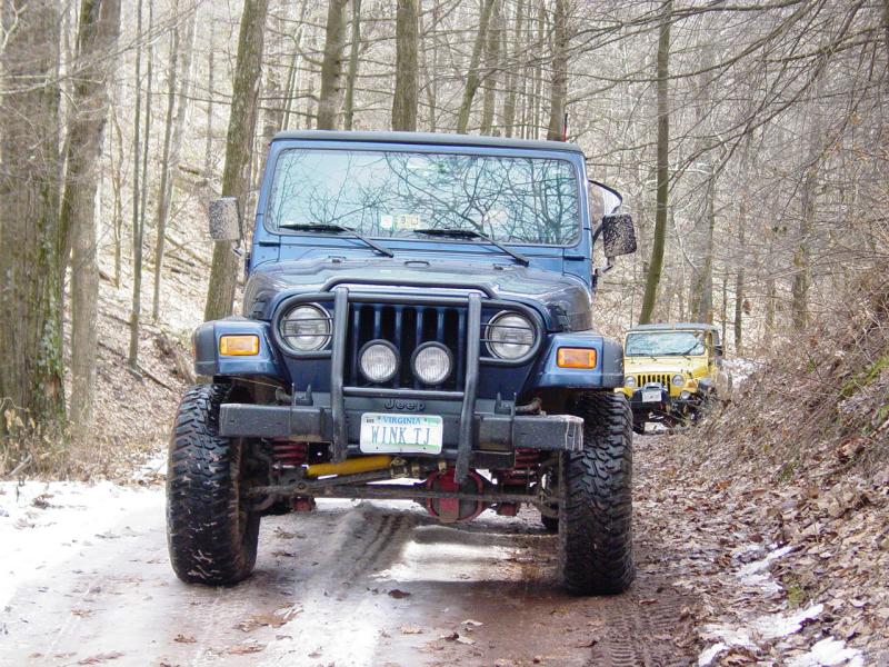
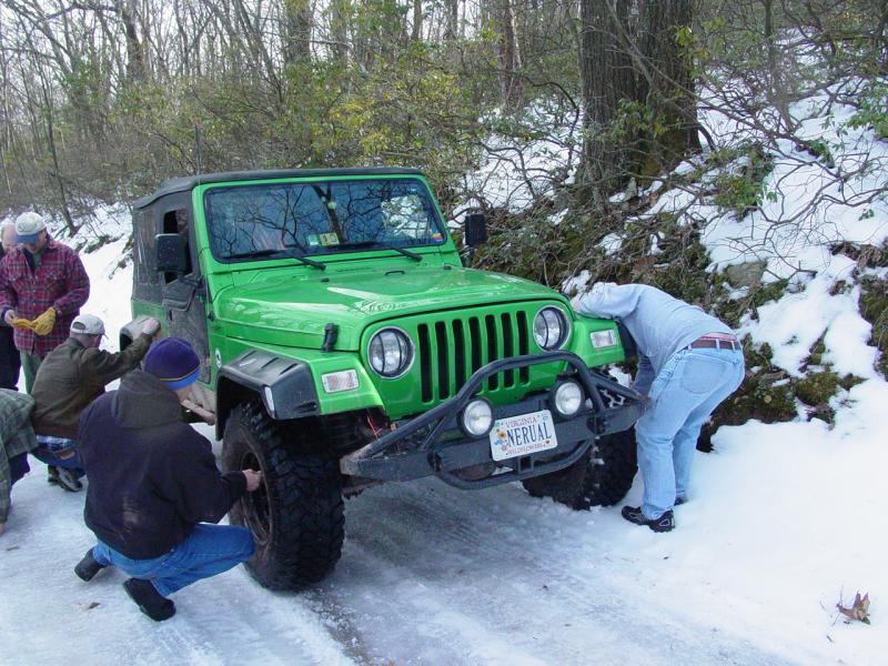
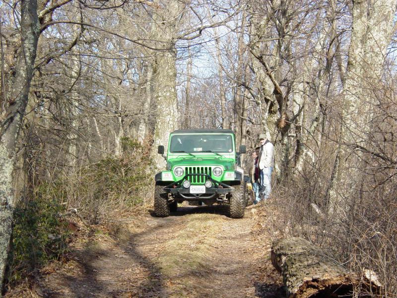
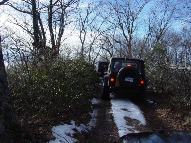
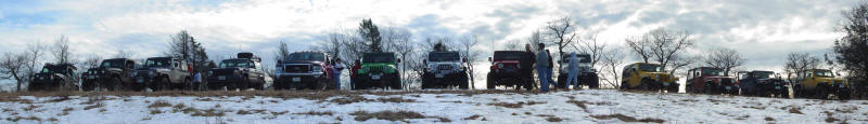
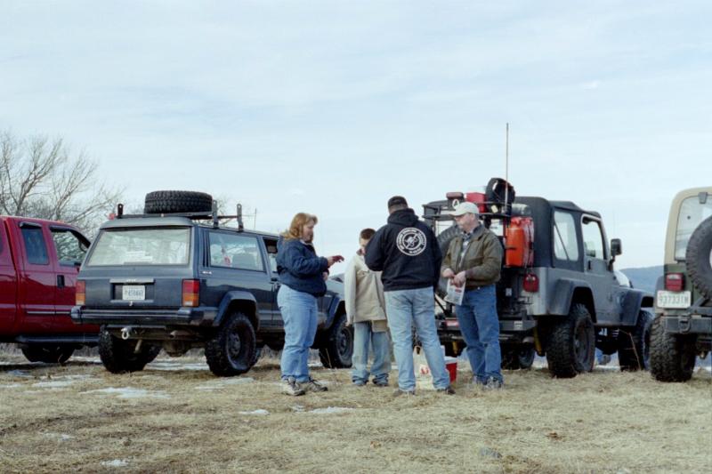
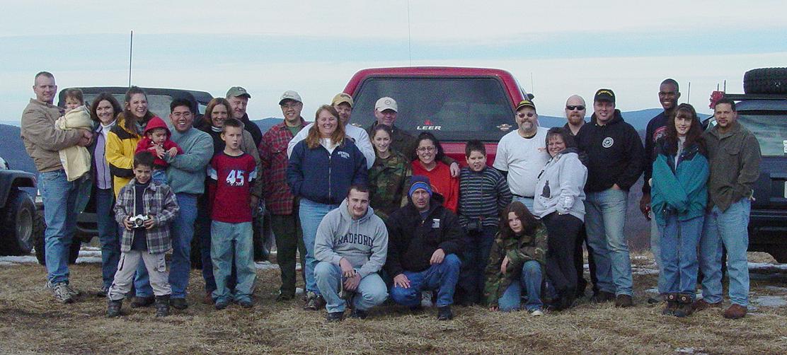
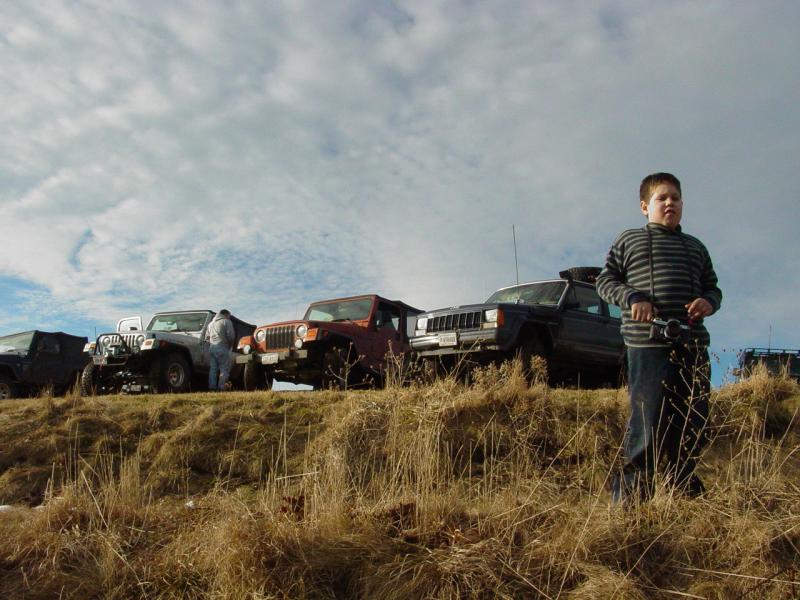
We had collected a
good size group of 11 Jeeps and one F-350: Carl Smith, Member
(Trail Guide) Carroll Jenkins Lauren Levi (soon to be "ex-NOVA
Jeeper" ;) ) David Pendergraph Gino Quodala, Member Julie and
Burton Simonds, Members Don Winkelman, Member Mike Anderson,
Member Adam Rutherford, Member Dave Bandel, Member Randy and
Carol Wood, Member (F-350) Wayne Lau, Member (Tail Gunner)
We picked up Paul
Provencher (PPRO) at the Rt-33 turn off for Flag Pole Knob at
10:30. We were now at 13 vehicles. Other than Camp Jeep this was
the largest trail ride I've lead.
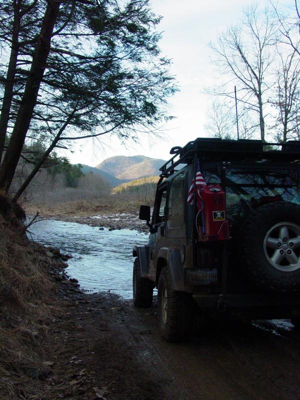
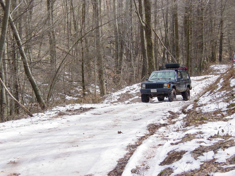
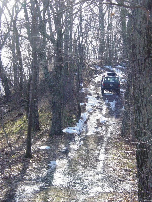
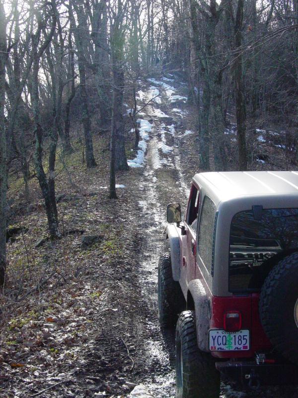
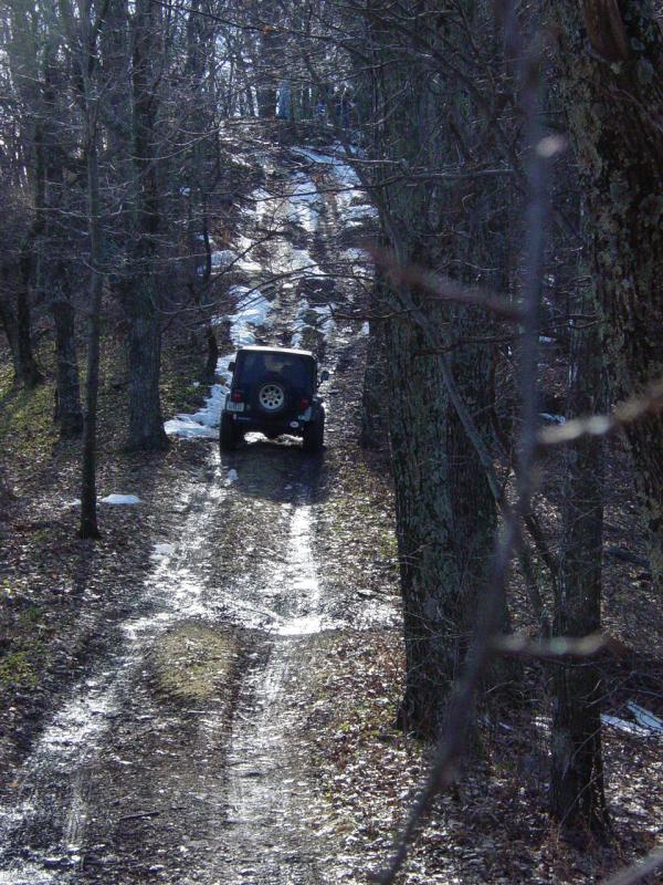
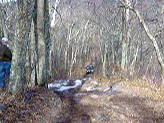
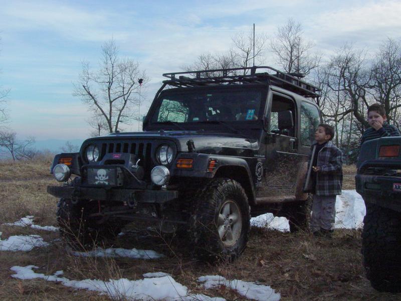
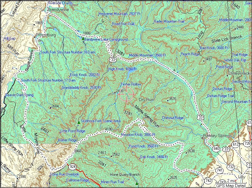
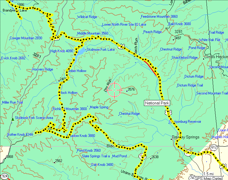
I found the trail
head with my new GPS and we went a little ways up the trail
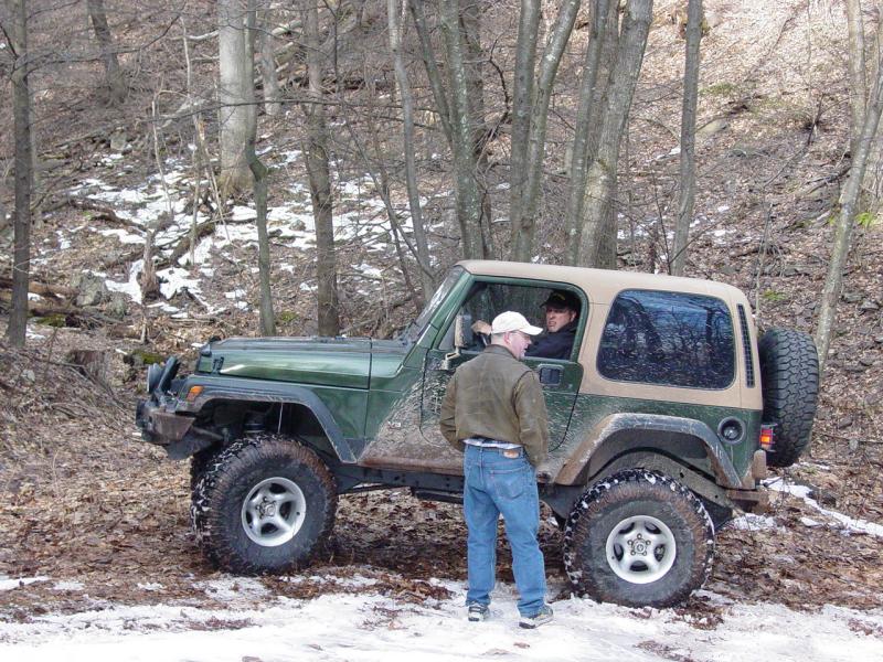
before stopping to disconnect and air down. At Paul's suggestion
I held a short drivers meeting to discuss the possible icy
conditions ahead.
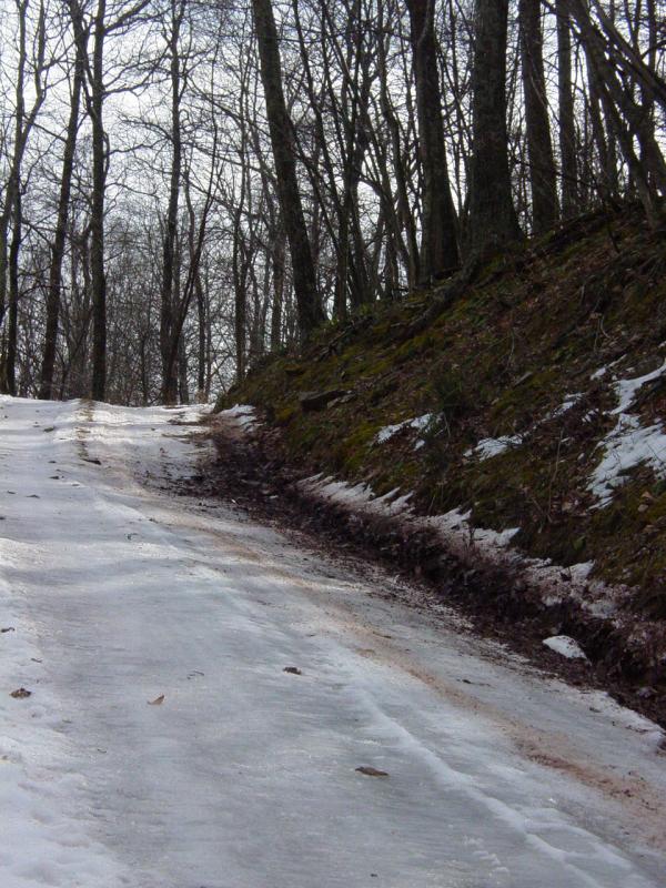
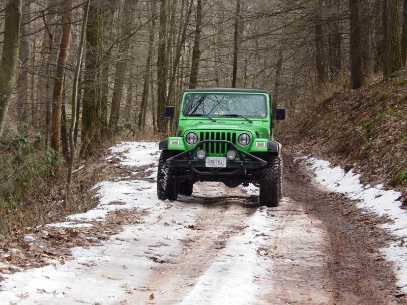
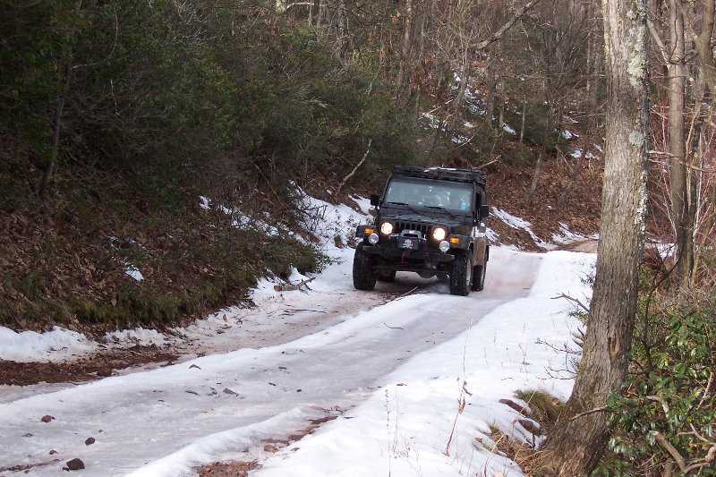
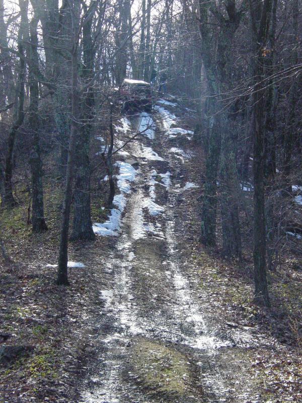
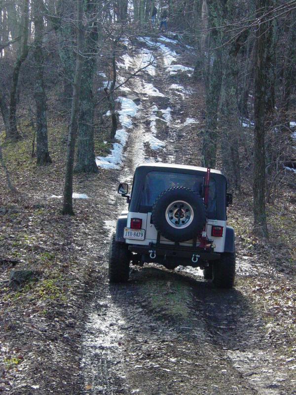
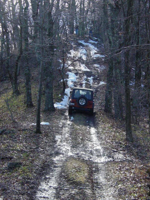
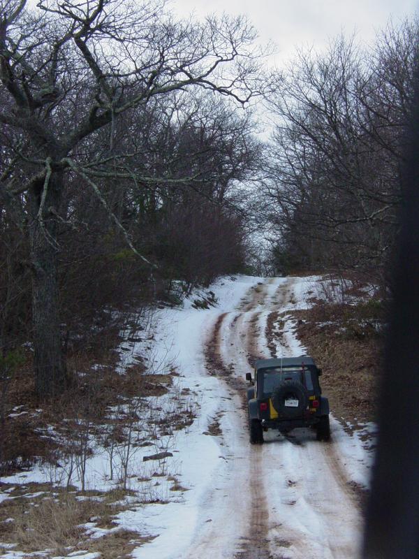
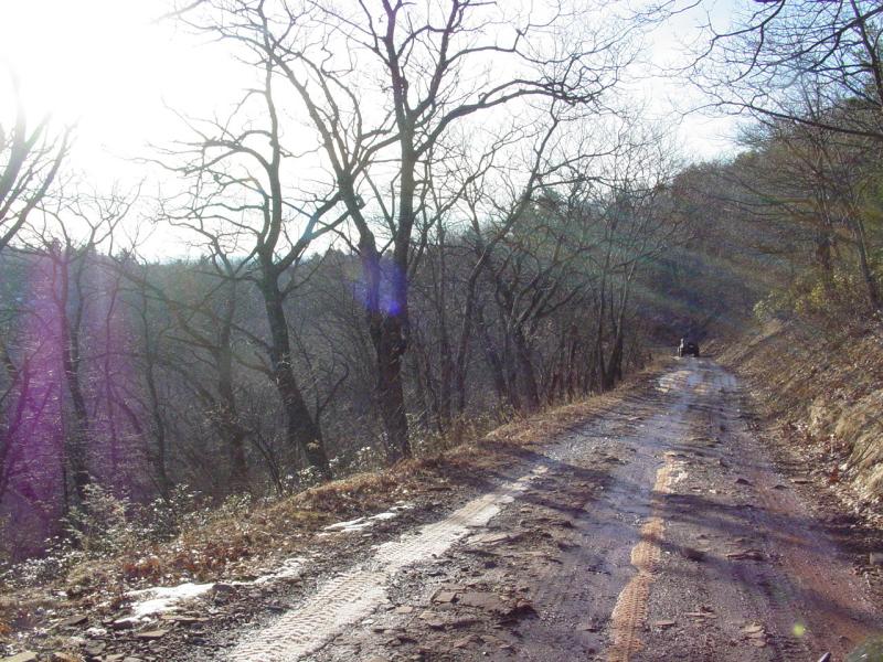
A little over an
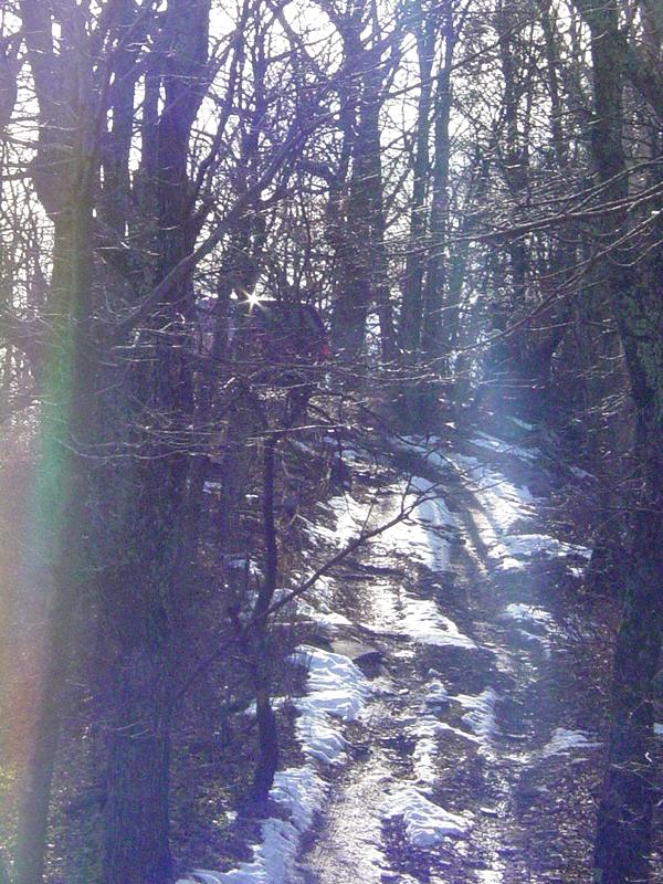
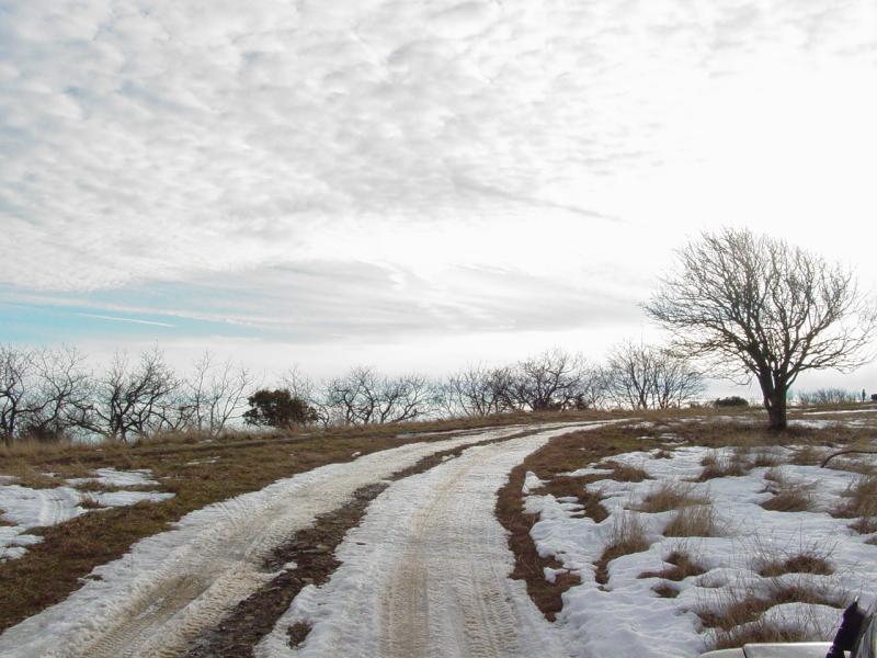
hour later, we came across those icy conditions. It was a long
climb with a switchback that had iced over. After attempting to
make the turn at the switchback, I found myself sliding back
down the trail. I stopped on the trail edge and I called a
second drivers meeting to decide weather to continue or not. It
was decided to go on with the vehicles spread out and driving
with the passenger side tires on the snowy edge. This worked
well for everybody. Lauren Levi had a little trouble but after
we aired down her tires she made it the rest of the way to the
top with difficulty.
We had lunch at
the top of that icy section. Yours truly stepped in the largest
pile of hunting dog droppings that I have ever seen. It was like
a five pound weight stuck to my shoe. I got most of it off but
my party was able to smell it every now and then for the rest of
the trip.
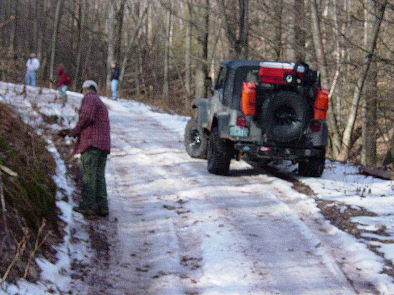
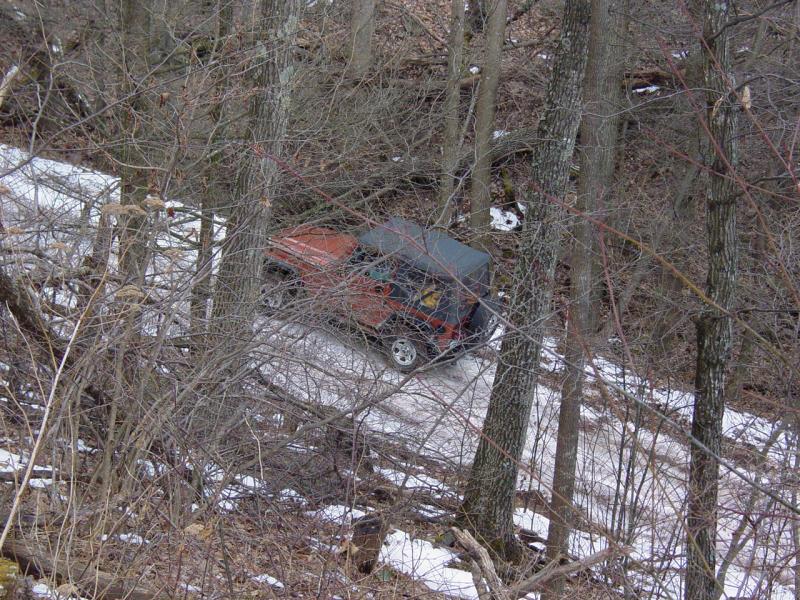
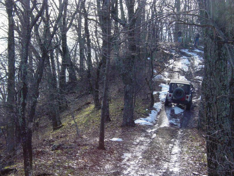
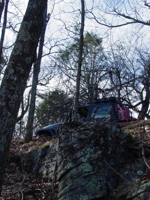
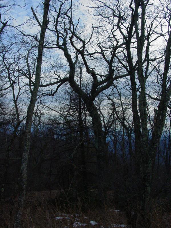
At one of the hill
climbs before Meadow Knob, The trail gets narrow, there was a
little snow/ice in spots and the steep hill puts the low winter
sun right in your face. This made for a harrowing climb for
Randy in his big Ford F-350. At the top where I was stationed,
Randy almost clipped the trees I was standing behind and not
being able to see the trail with the sun in his eyes, he
over-corrected and came way to close to the shear drop-off on
the other side. Those of us at the top screamed "STOP" and Randy
froze. We got Randy realigned with the trail and he was on his
way. That truck is amazing, but Carol said she was going no need
a Valium to go to sleep that night.
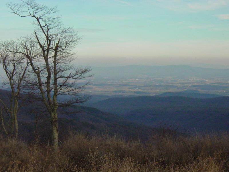
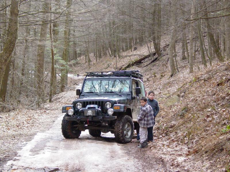
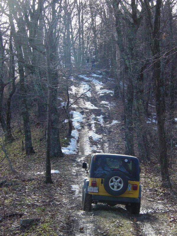
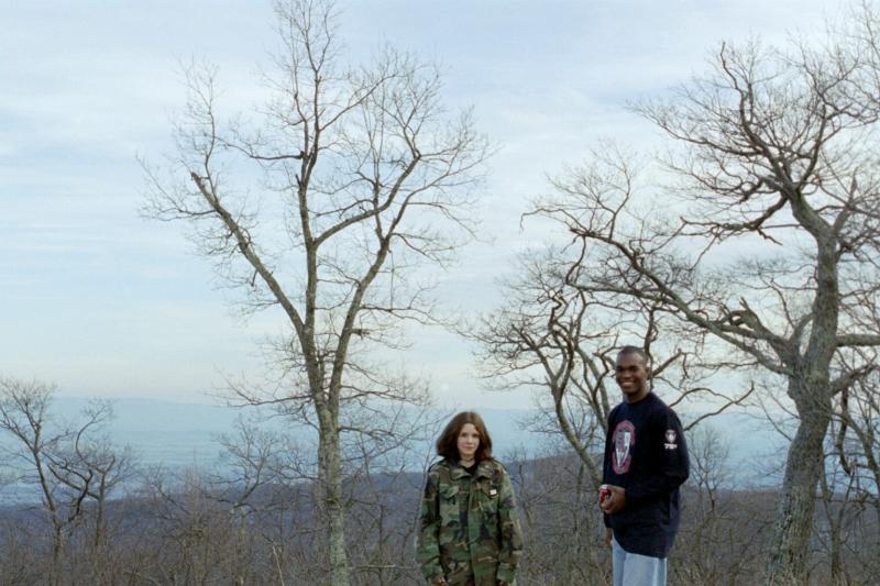
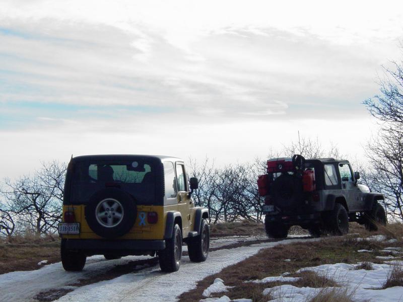
After a couple of
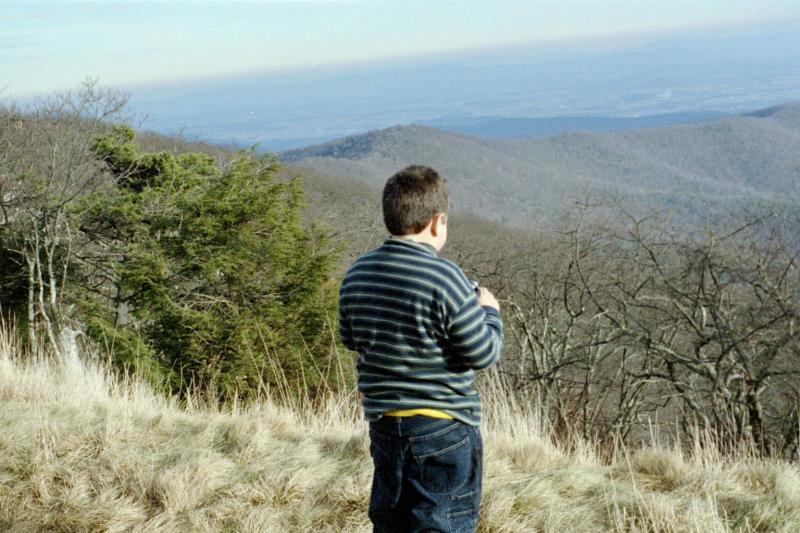
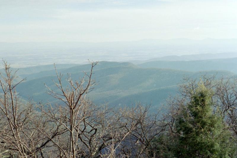
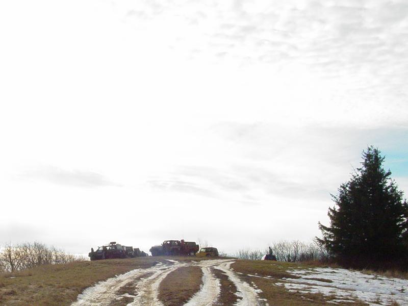
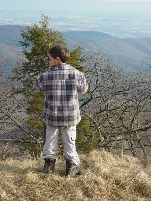
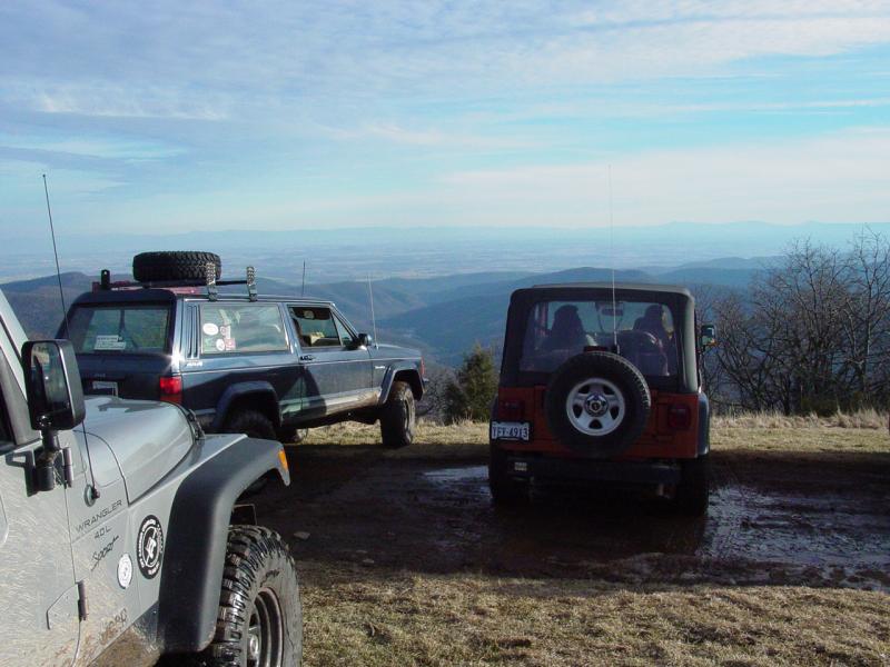
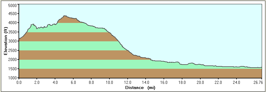
more hill climbs we made it to Meadow Knob. The view was
exceptional. After a few photographs, we continued to Flag Pole
Knob. Again the view was as terrific as Meadow Knob.
It was starting
getting late and talk was turning to the up coming Redskins
game. Someone found the local Redskins Radio station (93.1 FM)
and most of us were happy.
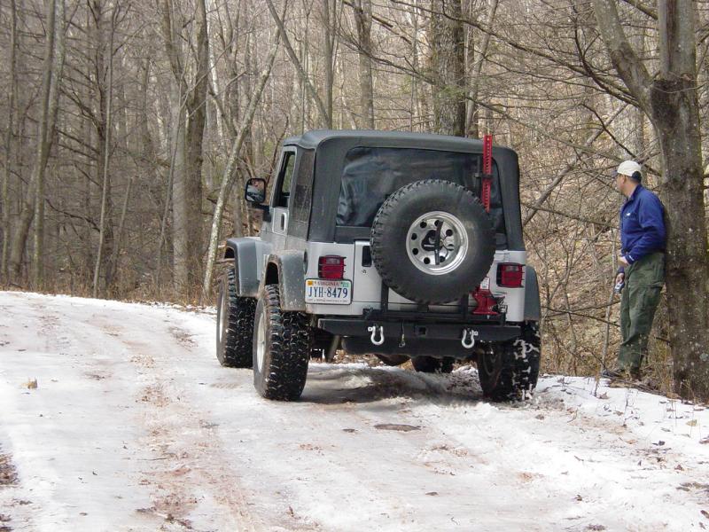
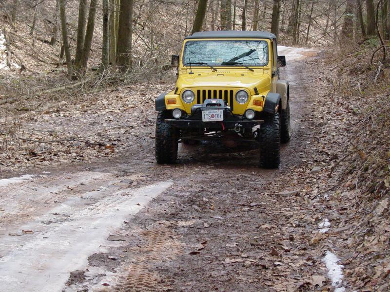
The drive down the mountain was uneventful. We all stopped at a
closed mini-mart/gas station to reconnect and air back up. Wayne
was having issues with his front differential making noise but
he couldn't fix the problem there and started home.
Everyone split
from the mini-mart when they were ready. I did see one red Jeep
at the car wash and another Jeep at the Sheetz. I also heard
Wayne on the CB and I thought he said he was on his way up 81. I
didn't find out what happened to everyone until I read all the
updates everyone had posted. Some late nights for a few folks.
We went directly
home but a mile or two up 81 we came to a full stop.
Accident!!!! Wayne and the others must have just missed it. We
were stopped for just under an hour and got to know our
neighbors a little. After the Medi-Vac left the seen, the right
lane was opened up and we slowly rolled past the damaged
vehicle. From the looks of the skid marks, it had skidded from
the right lane, sideways into the medium and then rolled a
couple of times and ended back up on the left lane of 81. Its
just scary thinking about it.
Anyway, we drove
nonstop to Manassas and had dinner at T.G.I. Fridays. Good meal,
fast and cheep and then continued home. We pulled in at 9:00 pm.
Man what a day! I
can't wait to do it again (without the ice). Snow, Mud, no
problem. Ice, forgetaboutit!
Carl
--------------------------
Wayne's Update:
From: "Lau, Wayne"
Date: Mon Jan 2, 2006 11:11 pm
Thanks for the
ride Carl.
I'll throw in a
few more details.
I was on my way up
81 with Randy following me for a short distance. We turned
around at the Rt 11 exit; the next exit up from Rt. 33. The jeep
was not sounding and feeling good going 50 mph. I decided to
head back to the Sheetz off Rt. 33 to leave the jeep there and
to see if I could get a ride from someone who lived near me.
Randy and Carol offered to drive me home, but the drive was way
out of their way.
At Sheetz, there
were still several folks there getting gas and food. I noticed
Lauren was one of them and hit her up for a ride home as she
lived closer to me than Randy. I moved some of my gear to her
jeep as I didn't want to leave it there. We left Sheetz and
headed up 81 and soon ran into traffic. The police had diverted
all north bound traffic on 81 to exit off onto Rt. 11 north. We
drove a couple and hopped back onto 81 north.
After getting
home, I ate dinner, hooked up the trailer to the truck and
headed back down to Harrisonburg to retrieve the jeep. The drive
back home from Harrisonburg was pretty rough. I had only 1.5
hours of sleep the night before and was running on fumes at the
end.
As for the jeep,
it's something in the front diff. Probably the ring & pinion. I
was running on borrowed time. I had the clicking noise for a
while (not that noticeable), and even more so at the Colossal
Canines run when in 4-lo. Had thought about hitching a ride with
someone, but figured it was only GW. Ooops.
So, I gambled and
lost. :-(
Thanks for all the
offers of help from folks especially Randy and Lauren.
Later...
- Wayne
Sign-up Roster (more came)
|
Becker, Mike |
2004 Rubicon |
Mental note: Do not drink too much on NYE |
|
Jenkins, Carroll |
92 Cherokee XJ |
will meet at sheetz in h-burg |
|
Lau, Wayne |
01 TJ |
|
|
Levi, Lauren |
2004 Wrangler |
<sigh> alright, I'm in....hopefully not too
hungover! |
|
Pendergraph, David |
04 Rubi |
My first run with OCC! Cant Wait! |
|
Quodala, Gino |
00 TJ stock |
hope i can make it,..first time with my son
(3 yrs old) been a long time since I wheeled |
|
Simonds, Burton and Julie |
1998 Wrangler |
Is there gonna be yucky white stuff on the
ground?? |
|
Smith, Carl |
2000 TJ |
This is my FIRST New Years Day Run! |
|
Winkelman, Don |
'02 TJ |
|
|
a mike |
2000 wrangler |
90% chance i'll be attending |