We drove north to
Uniontown, PA and then started looking for the trail entrance.
I made a
mistake routing to the trail and we ended up hitting the Pine Knob
Road entrance on the North side of the trail. As promised, it
was closed. It did give us a preview of the trail, which was
fairly tame looking. It occurs to me now we should have driven
down to here from above just for the ride but we did not.
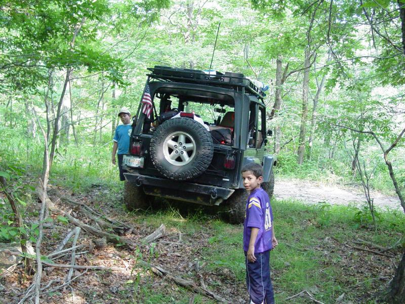
I navigated
around the hills to the south entrance near Laurel Caverns.
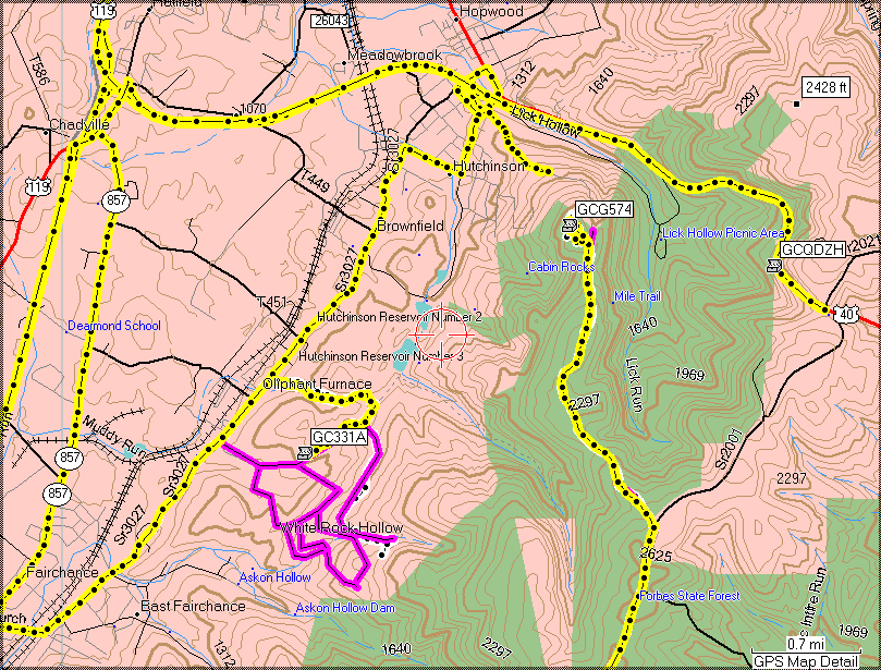


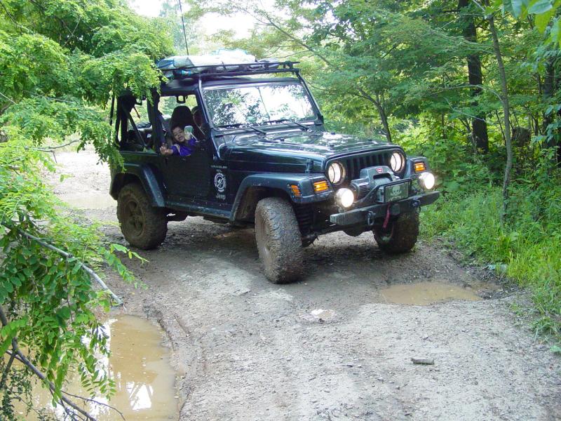
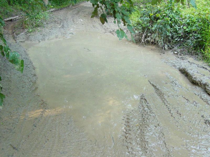
The trail was
nothing more or less than an easy dirt road with some mud puddles.
It appears to be maintained to the extent that vehicles can pass without
obstruction.


I noted where the
foot trail appears to intersect with the trail.

Soon we reached the
end of the road that goes to Pine Knob. The old road going up has
been obstructed with large boulders. This does not prevent
motorcycles and ATV's from getting past. It would have even been
possible to circumvent it with a Jeep but for the edge of one boulder
that would make it "interesting" to climb over.
The second
approach, most likely carved by ATV's that seem from the traces to be
everywhere out here. That "trail" has been blocked by two tank
traps that have been circumvented. They even have full-sized tire
tracks going down into them that do not appear to come out the other
end. Something about a deep narrow hole with vertical edges
preventing forward movement no matter how big and bad the tires are...?
The paths around the tank traps are just wide enough for a Jeep but
again, it seemed inappropriate so we grabbed the GPS and hiked up the
hill.


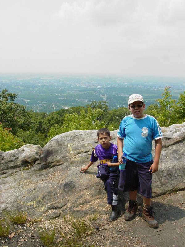
The walk was soon
rewarded with a great view and a flat area that was reasonably clean
though a lot of broken glass and a few cans were strewn about. We
checked out the view while we had something to drink.
Guessing about
approaches to the cache, I hiked with the kids around to the side and
down to the indicated cache location. The GPS signal was all over
the place so we ended up scouring every downed tree on the side of the
hill before finally finding the correct location.


The kids were about
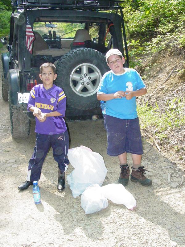
ready to call it quits when I found it. We took a couple trash
bags to do some clean up (Cache-In-Trash-Out).


The walk back up
the hill to the flat area wasn't too bad. We took our time and I
urged the kids on with promises of drinks when we got there. When
we got to the top, we broke out the trash bags and started picking up
trash from where we got to the top all the way back to the Jeep.

We ended up with
two bags of trash. Thanks to Questmaster for thinking of this and
providing the bags!
I discovered that I
had lost the cap to the camera. It normally hangs on a tether but
the plastic loop had broken off. I started to walk back the few
steps since I took the pictures of the parking spot when a very small
motorcycle ridden by a full-sized guy came along, scooted up the hill
past the boulders and out of sight. We had heard voices from above
when we were looking for the cache but had not seen anyone.
Pretty soon he came
back down the hill and asked if I was looking for something, passed the
time of day and then went on his way. We turned around and left
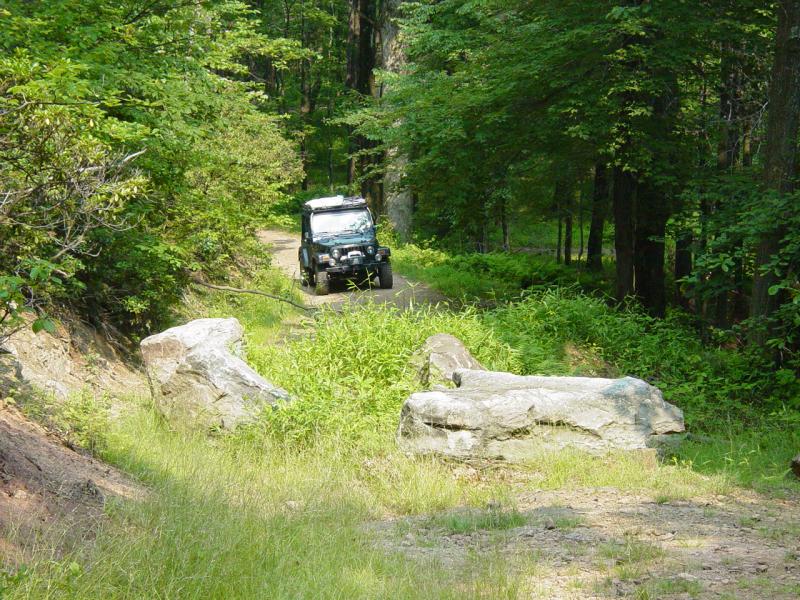
the way we had come. On the way out we passed first a 4X4 pick up
truck, then a small car with mountain bikes.


Back on the
road we wove our way back down to Fairchance and located the route
into the trails near Scattered Remains. The last time we came
here, we went to the cache called Polly Takes the Plunge. This
time we would continue further south and west to the cache location.
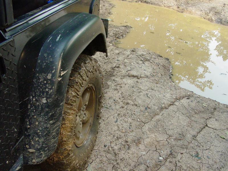
The trail was not terribly difficult though it clearly would be
impossible with a much larger vehicle, and very hard on, if not
impossible for a 2-Wheel-Drive vehicle.
Reaching the
cache location it is quickly apparent that there was a major
operation here some time ago.

We wandered
around for a few minutes though the kids were anxious to eat so we
didn't really stay very long. It will require another trip to
fully explore this site.


The kids
definitely wanted to check things out but I was not sure what was
stable and what was a death trap, so I discouraged free roaming.
Instead we went straight for the cache. It was well hidden but
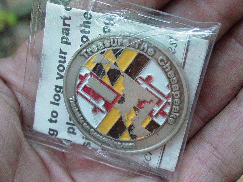
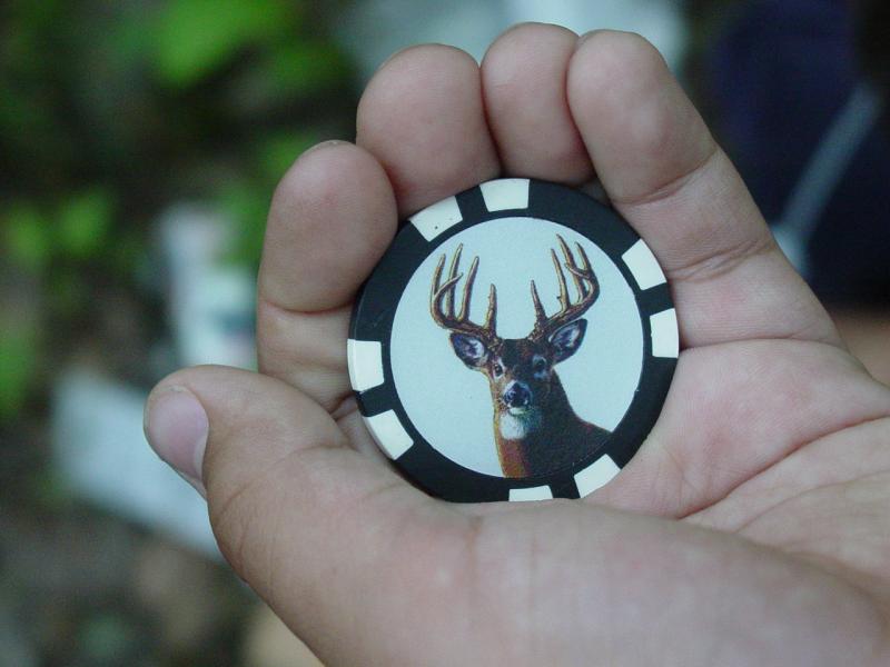
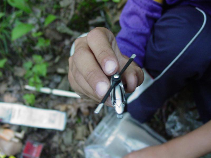
the boys spotted it quickly. We found inside a nice Geocoin,
Buck token, and Micro-Machines Helicopter.
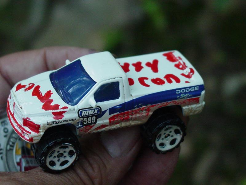
There were a number of other interesting items, including our own
Matchbox Pickup Truck that Ted and I had placed in
Grist Mill Cache last
year!
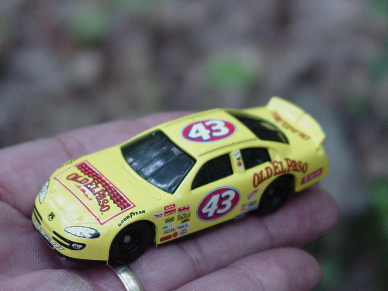
We left the El
Paso #43 Race Car, the Country Music Fame Travel Bug. We also
left my personal 4x4icon.com token.
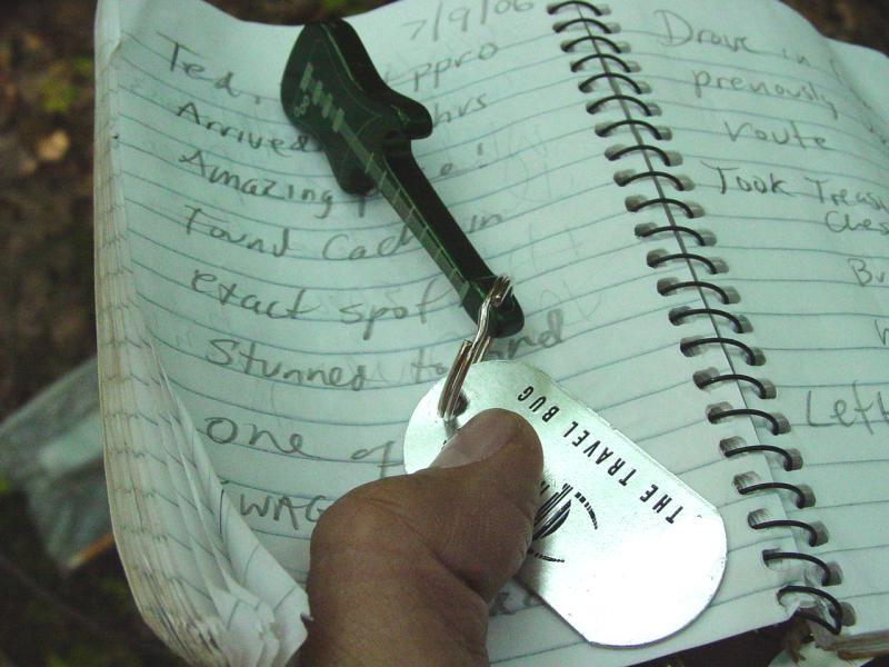
We signed the
log after surveying the contents of the cache.


Scattered
Remains indeed!

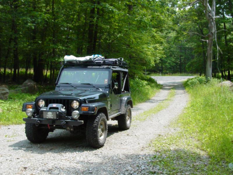
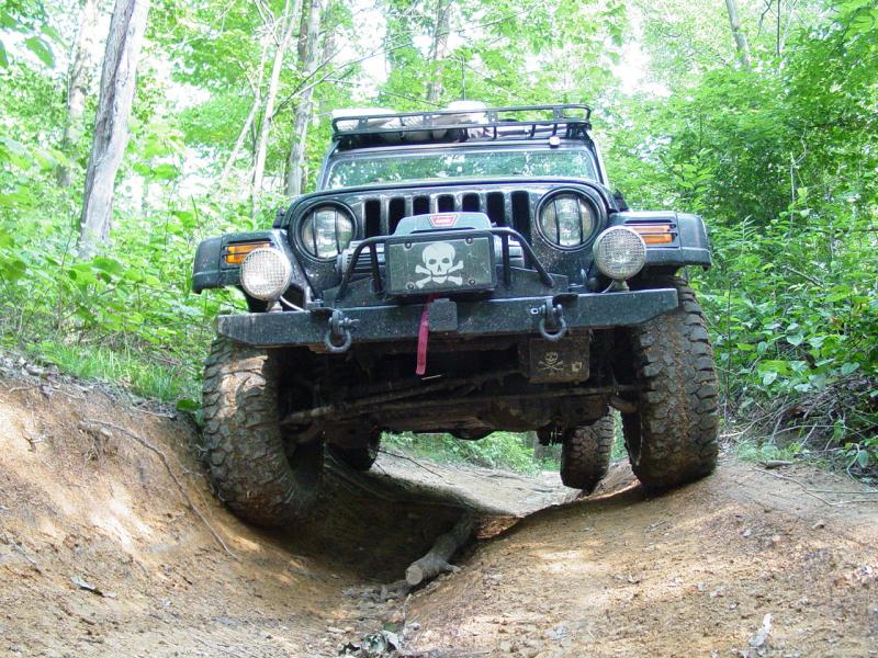
Of course the
ppro Jeep Club (minus Teddy's Jeep Rescue) made the trek!

The trip back
up the trail illustrates the perils to road-going vehicles.
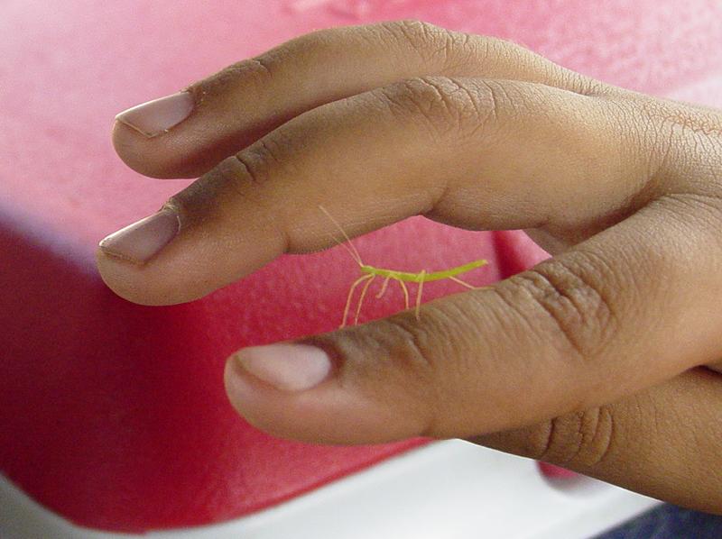
And a baby
walking stick (bug)!
We took a break
to have dinner at the Eat 'N Park near Uniontown Mall. That
was a much needed break. When we finished we intended to head
directly home but missed the turn that would have put us on Route
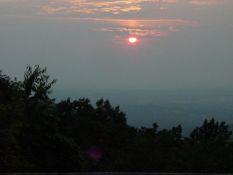
43. Instead we found ourselves going up the hill towards Mt.
Summit... I was not thrilled to add an extra ten miles to a 17
mile drive home but the Mt. Summit cache icon loomed on the GPS so I
decided it was meant to be - that we would visit this cache to cap
off our day in the area.
Ted found the
cache right away with a brilliant first stab at the hide location.

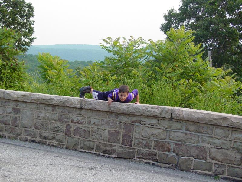
Tom meanwhile
did his best to test my heart with some trickery at the outlook
wall...
We took nothing
but signed the log.


This memorial
to a fellow was nearby.


The kids by now
were whipped and ready to go home.
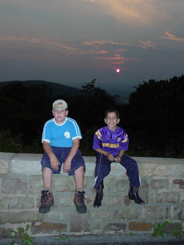


The end of a great
day!