Blackwater Canyon:

Public Road 18, Coketon, Dolly Sods,
Big Run Falls, Canyon Rim Trail, Olson Tower

Big Run

October 13, 2006 | October 14, 2006 | October 15, 2006 | October 16, 2006

4X4 ICON 2000 - 2008 The DVD! - Click here for details!

4X4 ICON 2000 - 2008 The DVD!

Waypoints

October 13, 2006 | October 14, 2006 | October 15, 2006 | October 16, 2006

Note: This trip report is broken into four pages because of the huge number of images.  Links to each day's report are provided at the top and bottom of each page.


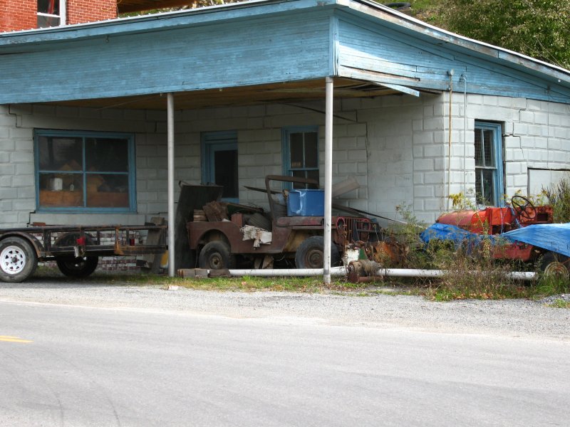
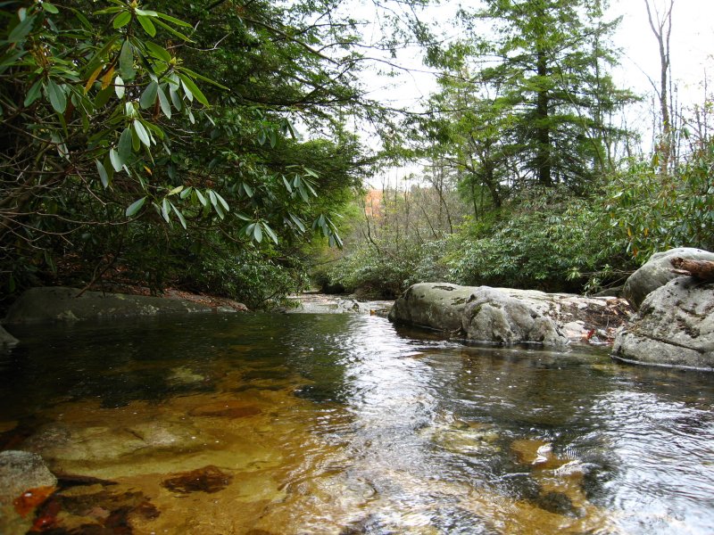
Trails (Continued from 10/15/06)

10/16/06

Ted, Tom and I had already hit the road for home, but Chris, Jim, Beth, Chris and Maddy stayed 'til Monday morning.  Here are Chris' pictures.

Camp

CampPublic Road 18Public Road 18Public Road 18Public Road 18Public Road 18Public Road 18

Big RunBig RunBig RunBig RunCanyon Rim Trail Marker

Big RunBig Run

Camp TableWords to Live By...Public Road 18Public Road 18Public Road 18Public Road 18Route 219

Thomas

October 13, 2006 | October 14, 2006 | October 15, 2006 | October 16, 2006


Chris Shontz Photos in high resolution and more:

This is the lot: http://www.flickr.com/photos/cshontz/sets/72157594334335200/

Pictures that pertain to ppro: http://www.flickr.com/search/?q=ppro&w=19972326%40N00&z=t

Pictures that pertain to jim65wagon: http://www.flickr.com/search/?q=jim65wagon&w=19972326%40N00&z=t

You can also view the approximate locations for each picture on a Google map by clicking on the following links. Please be patient and allow these pages to load completely. There is a large amount of photo and track data being processed.

Displaying w/out track lines: (faster performance)

http://ixplor.us/map.php?u=cshontz&s=72157594334335200&f=expo_wv_1006_4.gpx&c=7200&r=0

Displaying with track lines: (slooow performance)

http://ixplor.us/map.php?u=cshontz&s=72157594334335200&f=expo_wv_1006_4.gpx&c=7200


Blackwater Falls GPS Data

Update 1/5/2008:  GPS Data now provided in GPX format for easy transfer to your GPS!

Purchase GPS Waypoint data and access to topographic maps of this trail using Pay Pal!

Pay me securely with any major credit card through PayPal!

GPS Waypoint data is now available for a moderate fee ($10.00 U.S.).

This contribution allows us to maintain this web site, collect and maintain GPS waypoint data, and periodically verify its accuracy.  All GPS Waypoints have been verified in the field.

If you would like to purchase the coordinates for this trail, simply complete the two questions below and click "Buy Now" to pay for your purchase using Pay Pal.

For a free sample of how our GPS data is presented to our customers, click here.

How did you hear about us?
Are you planning a trip on this trail?

IMPORTANT - After you pay with PayPal be sure to click the orange button shown circled below from the PayPal Payment confirmation Screen to go to the GPS Data you purchased!


Off Road Index | Shop for Jeep Toys and Books | See the Toy Jeeps


Click or the [ BACK ] button on your browser to return to the previous page.

Home

Photos, Layout and Design © 2006-2008 Paul M. Provencher All Rights Reserved.
Contents of this Web Site may not be used without written permission.

Hit Counter

counter Visitors Since 10/17/2006

Last Updated 02/09/2008 12:06:00 AM -0500