|
October 13, 2006 | October 14, 2006
| October 15, 2006 |
October 16, 2006
Note: This trip report is broken
into four pages because of the huge number of images.
Links to each day's report are provided at the top and
bottom of each page.
10/14/06
Yesterday... (click for
10/13/06)
The night was cold as promised. But the
sleeping bags and other provisions I had made kept me and the boys
warm. Ted was so comfortable he wanted to go outside without
his coat and hat. This was a preference he would express
repeatedly throughout the weekend. I had to work hard to keep
him wearing the proper clothing. May times I would see him
again and he'd be wearing his inner layers and no coat or hat.
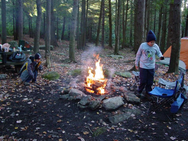
 
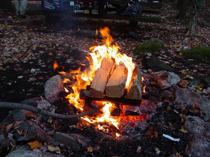
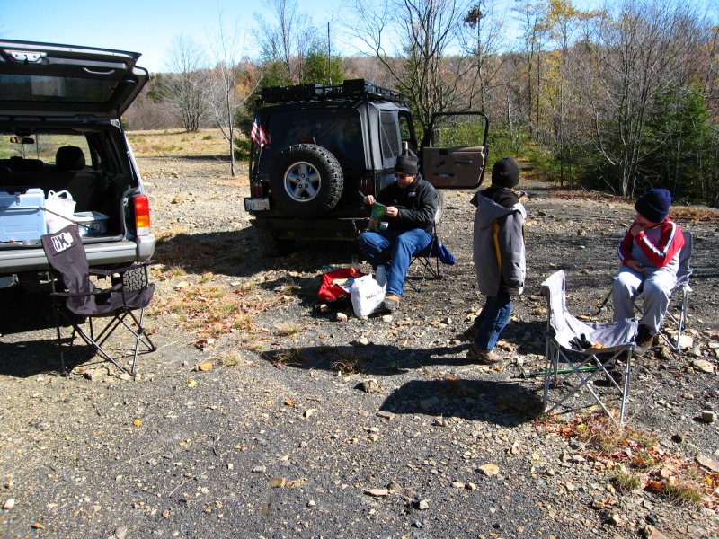
We got the fire going again and cooked breakfast
on the camp stove.
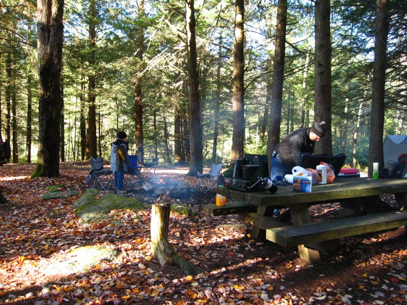
While the kids ate breakfast, I made
sandwiches for lunch, packed the rest of the lunch food, and then
cleaned up the breakfast dishes .
I packed up the cooking gear
and stowed it all away for the day. I loaded the tools and
winch bag on the
roof rack with the folding chairs and we were
pretty much ready to go.
   

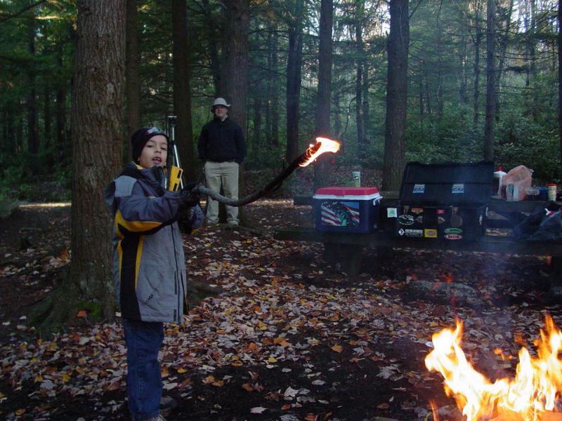
Tom displayed a pyromania, spending lots of time
near the fire lighting sticks on fire and waving them around.
That was to be the behavior I spent the better part of the weekend
discouraging.


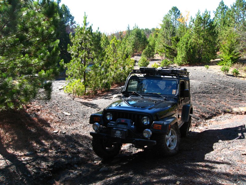
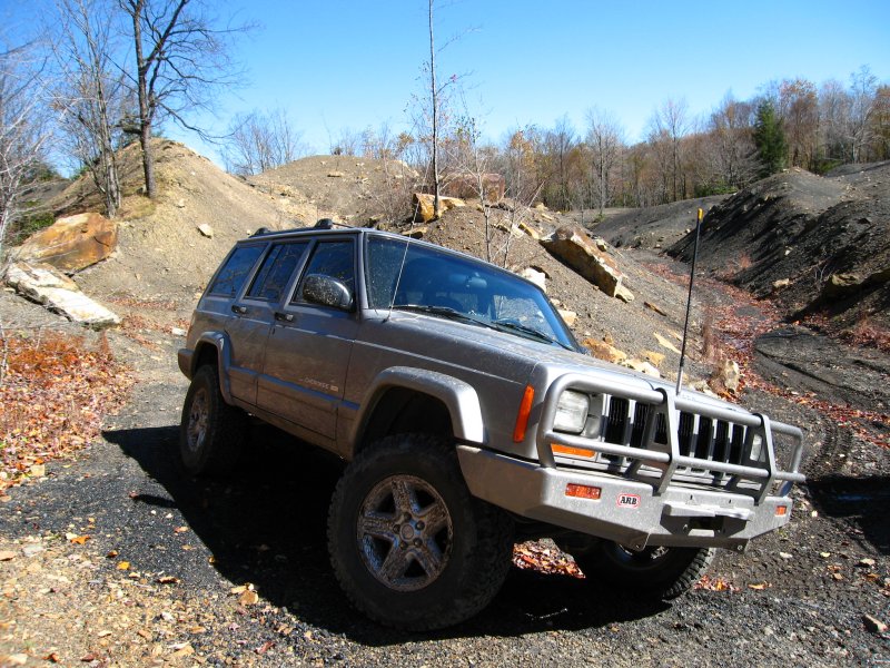
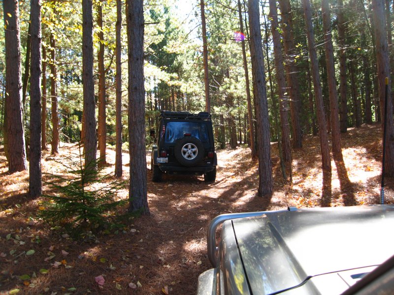
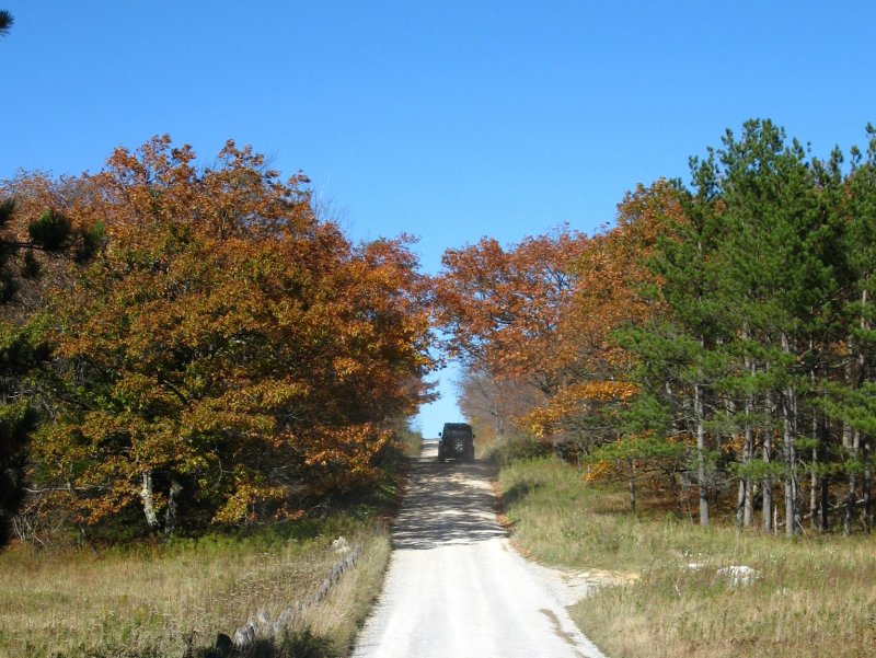
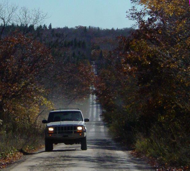
Public Road 18
The day was shaping up very well. We
could see the sun coming out, and the sky was completely clear.
And cold. But we were prepared so this didn't stop us from
getting ready and going out to find some interesting sights.
The non-stop beauty started right at the edge of our campsite.
 
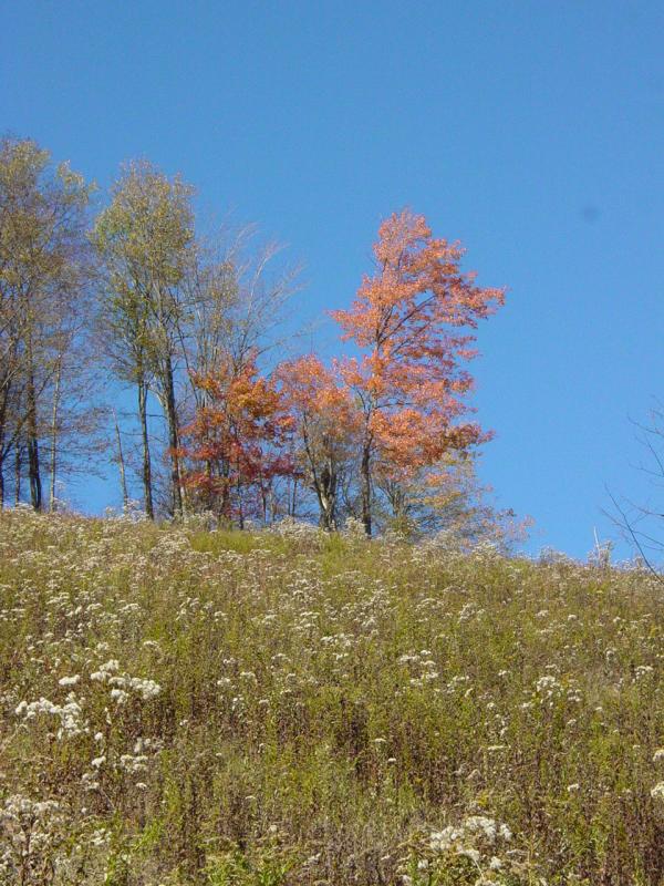
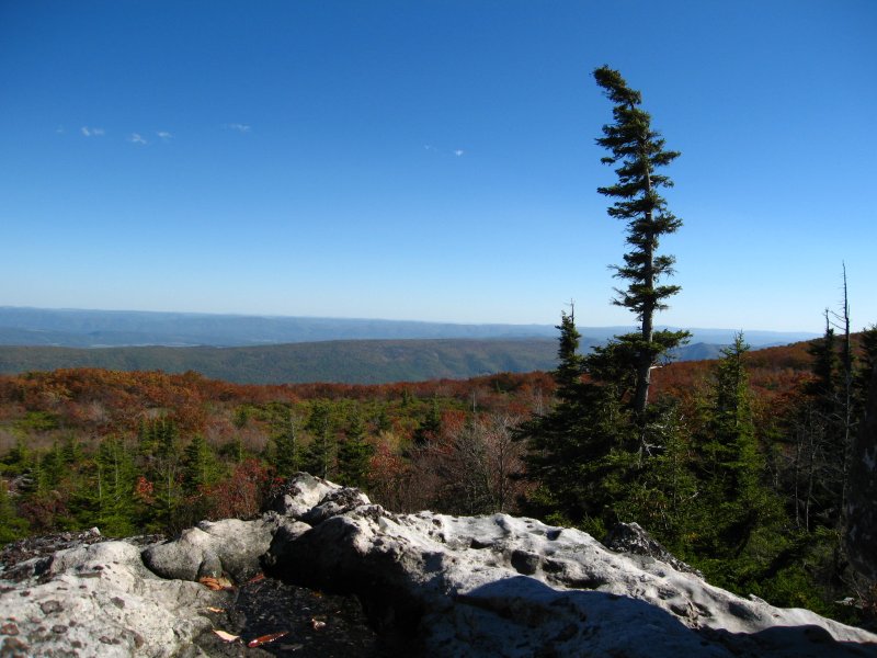
Big Run Scenic
Overlook
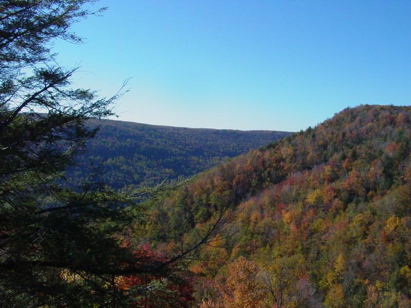
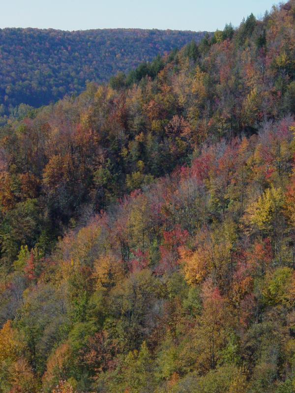
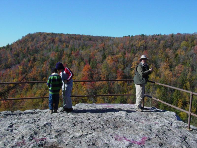
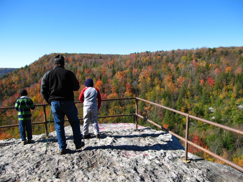
The first stop was just down the road from the
campsite. We took a short stop at Big Run Scenic Overlook
at 10:31 AM. I was disappointed to see
the sign had been
torn down. Indeed, most of the signs throughout the area
appear to have been vandalized. It's discouraging to see
the negative elements that frequent these places.
The view has not yet been stolen or
vandalized, and it was not a disappointment. Like several
times before, it was a great spot to stop and view the canyon.


Explorations
Public
Road 18
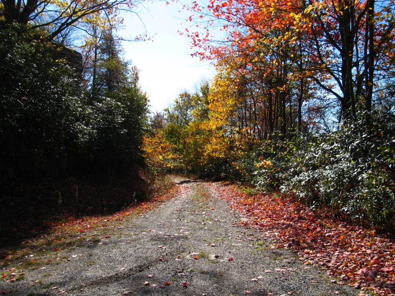
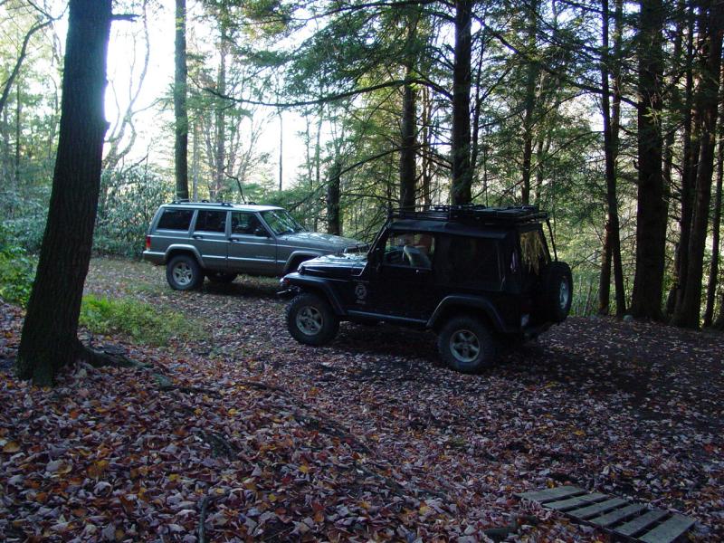
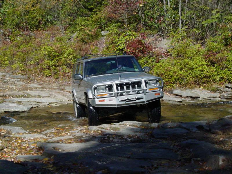
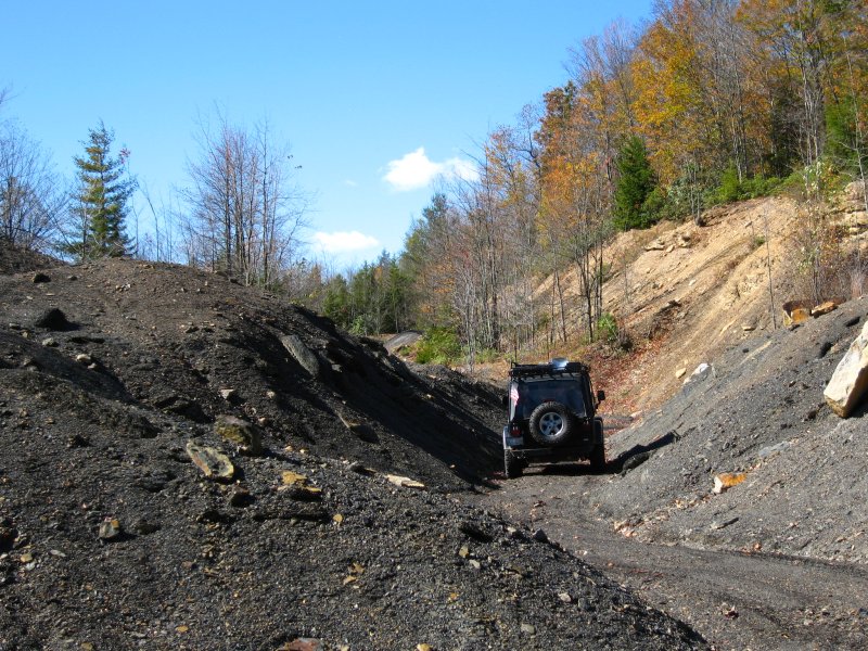
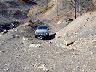
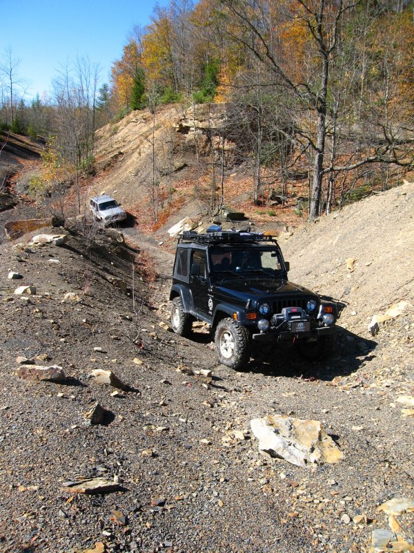
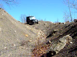
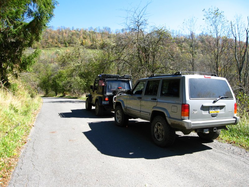
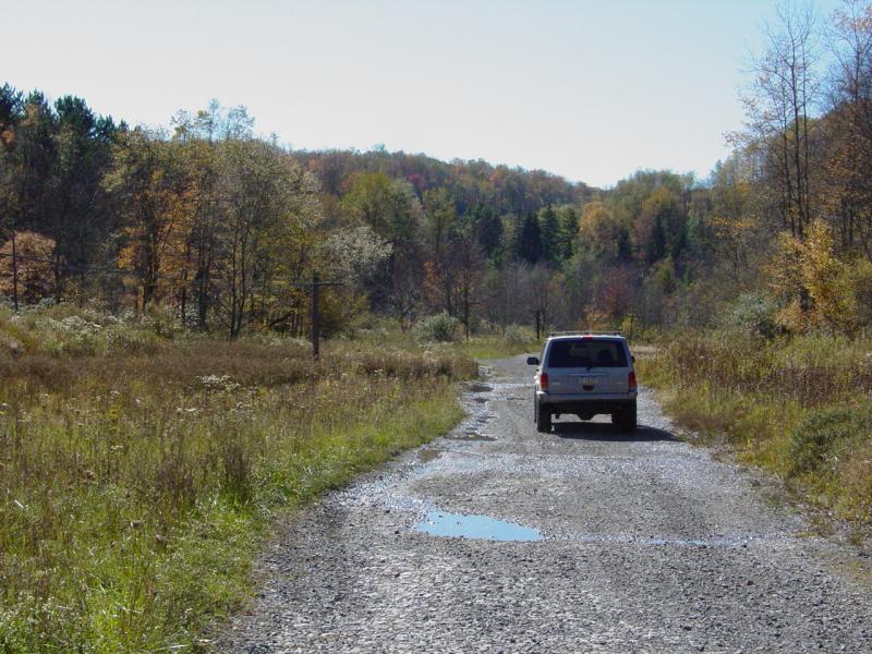
Next
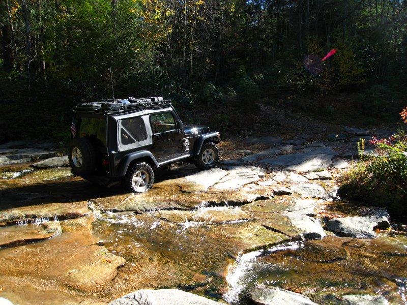
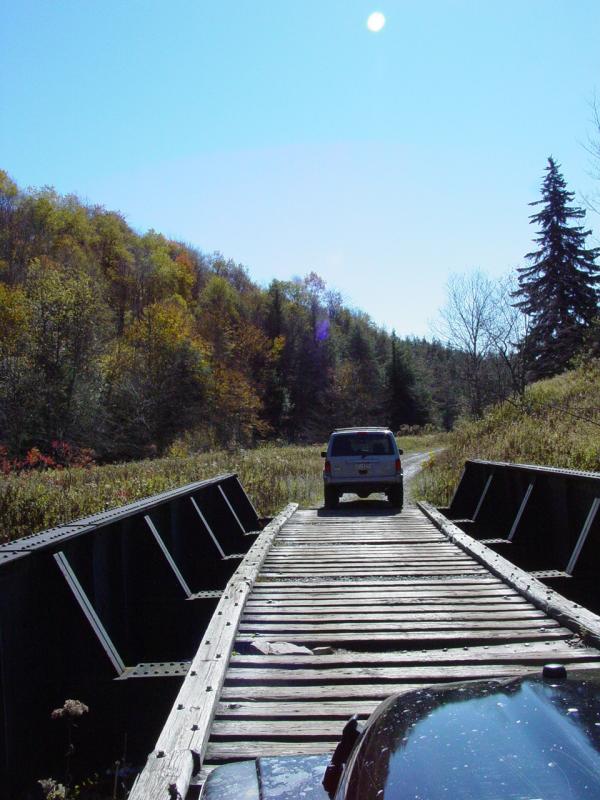
we drove along Public Road 18, accepting the few challenges
it threw down. We came to one ford at an intermittent
stream. Just before it, a couple had parked their
vehicle in the middle of the road and was busy unpacking
their worldly possessions.
I could hear "I'm Alone
in the World" playing loudly in the background as they
looked at us like deer in headlights. The driver came
to my window to buy a clue and I mustered up enough patience
to reveal to him that this was a road and he was parked in
the middle of it; would he mind moving so we and others
could pass? "I didn't know..." was his vapid response.
But he packed his stuff and moved out of the way to let us
pass. I guess he thought no one would possibly be able
to cross the wet rocks that stood head...
 
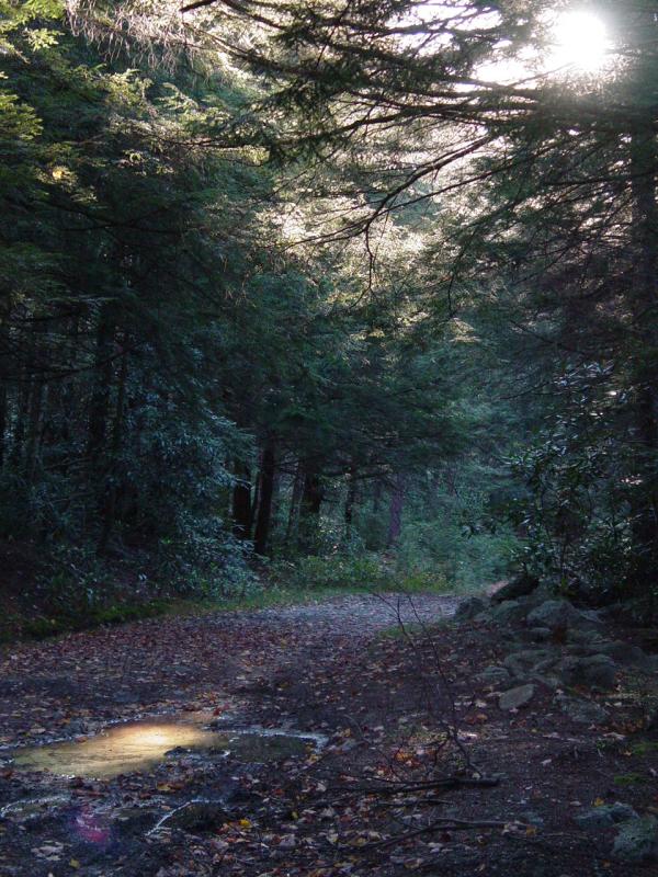
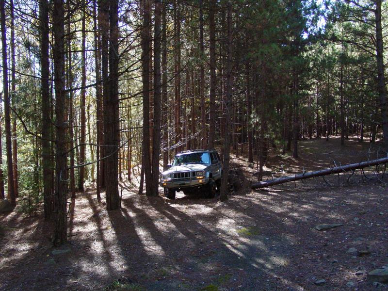
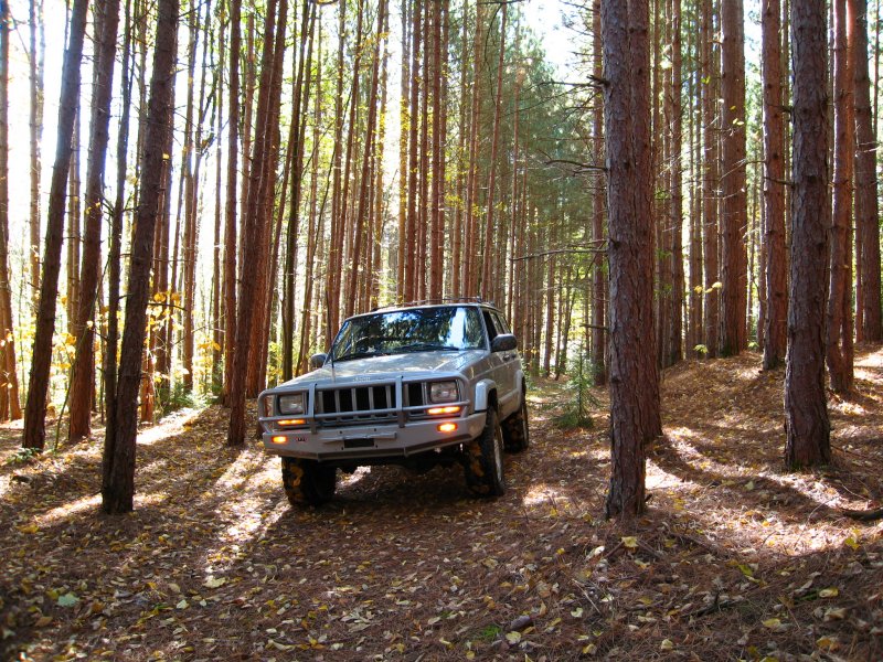
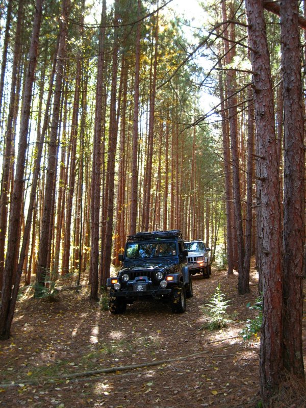
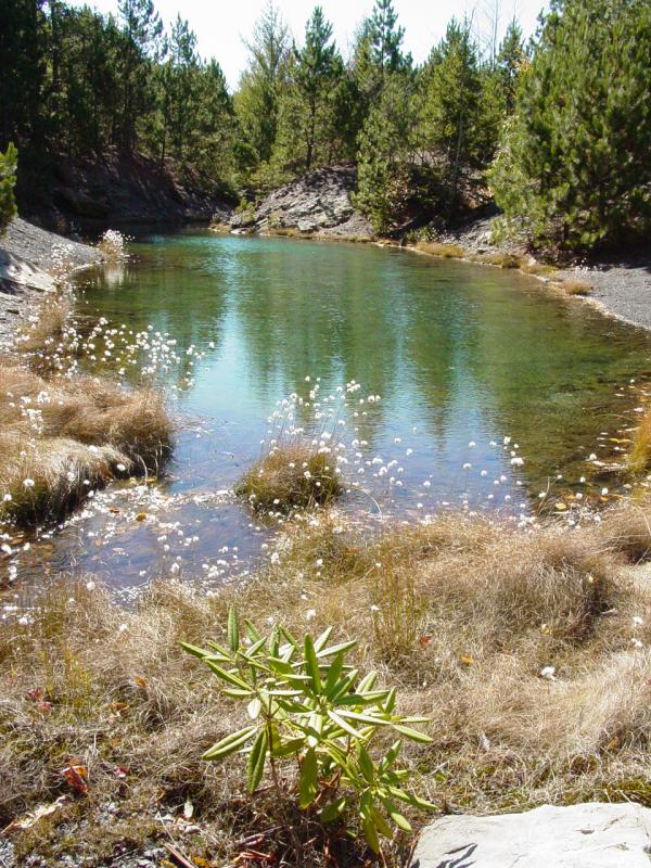
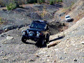
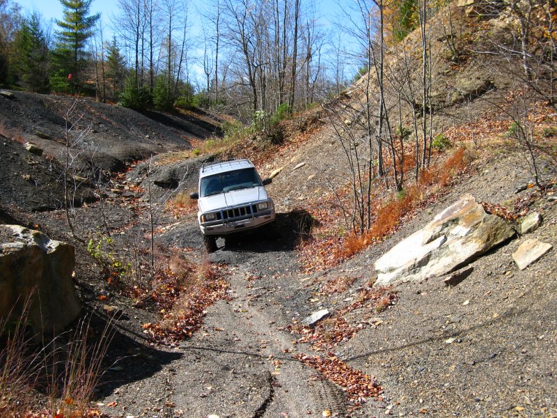
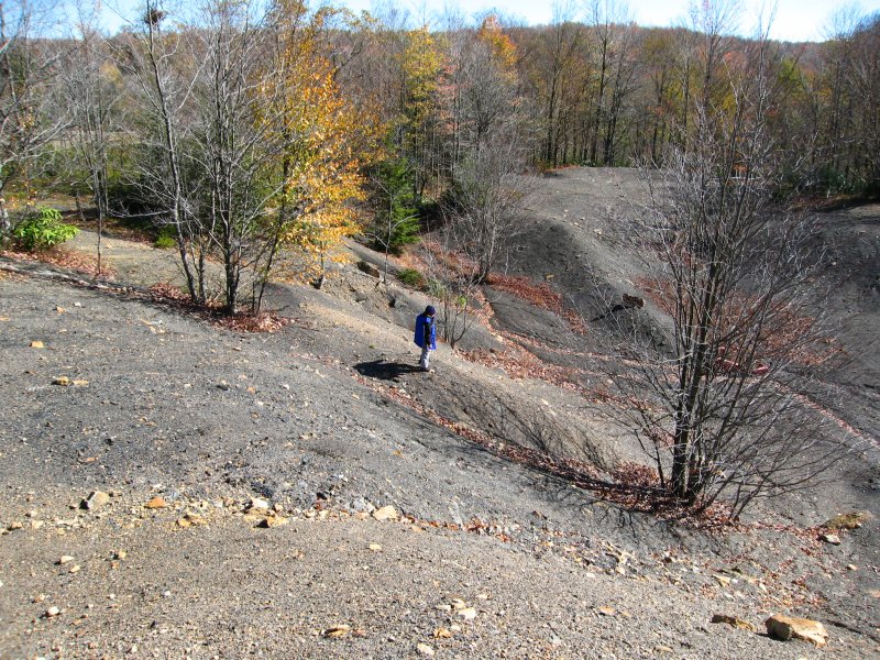
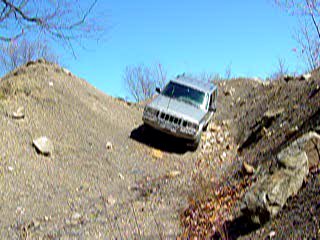
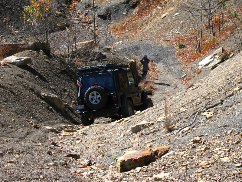
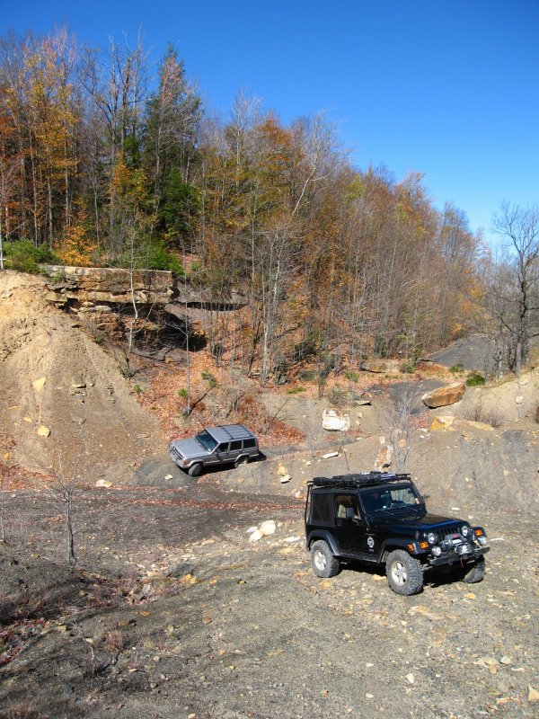
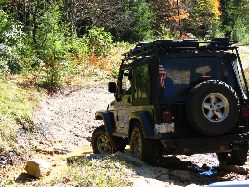
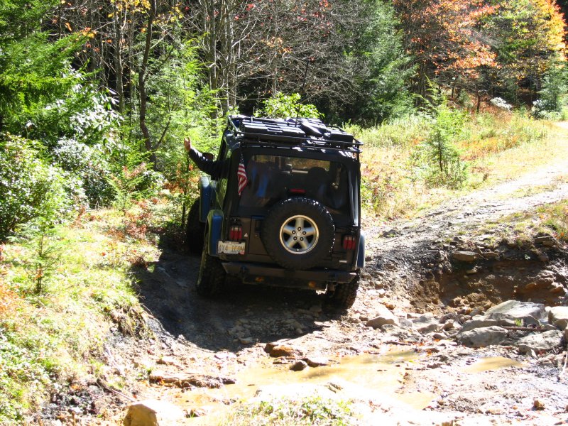
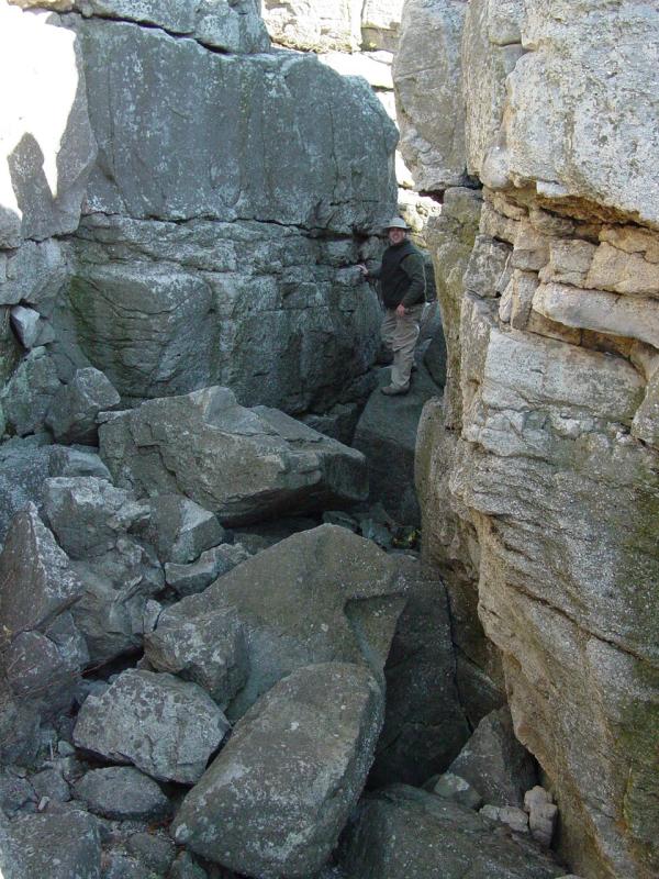
Clearing
Along
the way we drove up to a little clearing I like to visit
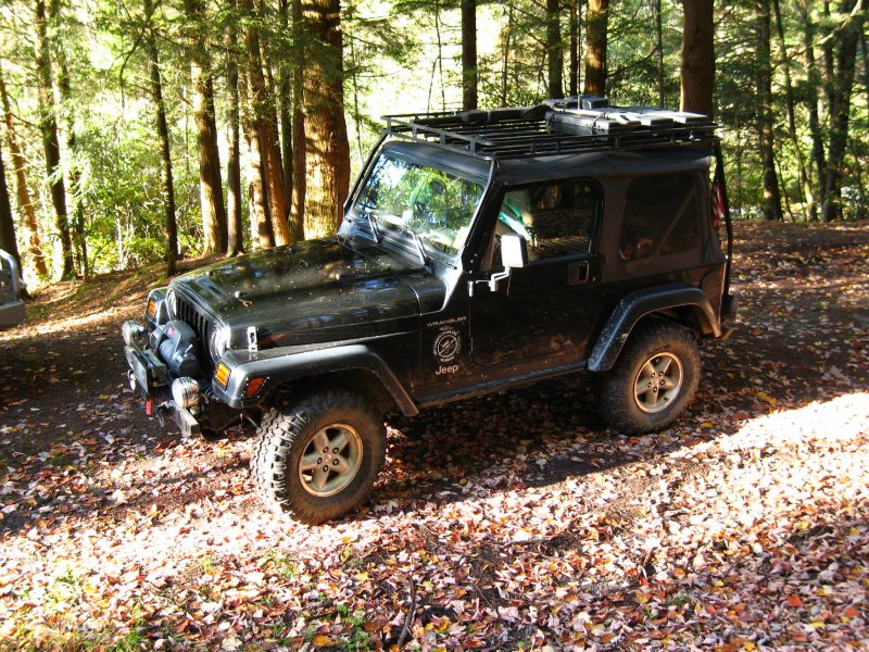
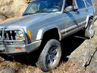
when I have the time. Here's Chris at one tough spot.


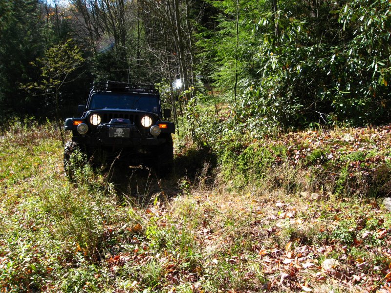
   

I
like the section that takes us through the pines.


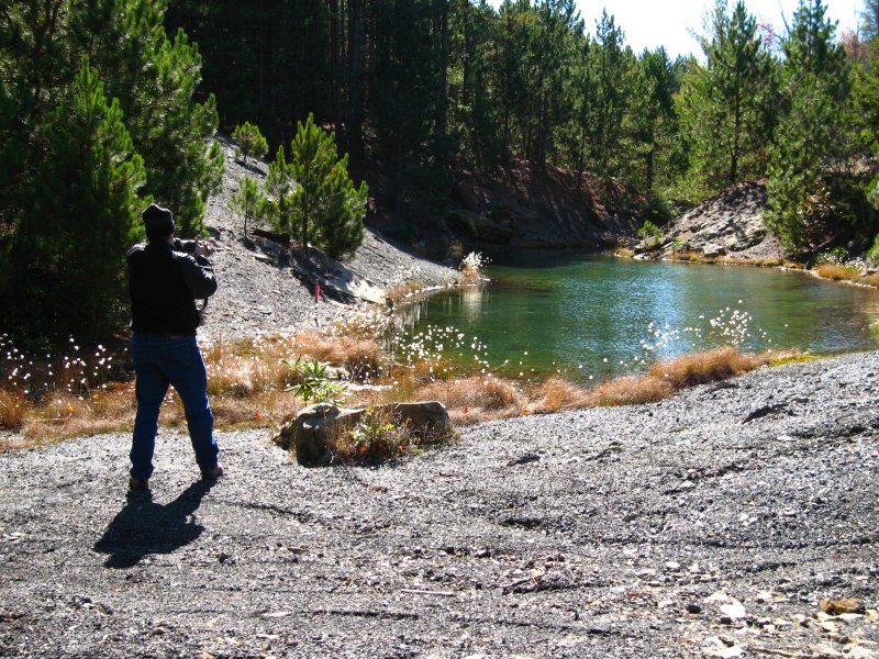
The
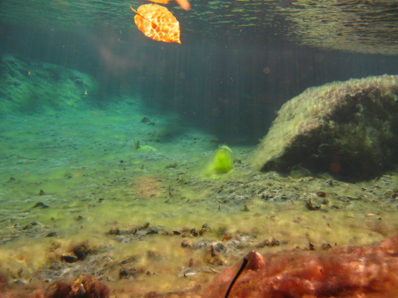
little pool is quite beautiful, and an unexpected surprise.
   
Chris
put his camera inside a waterproof housing and made some
pictures in the pool...
   
   
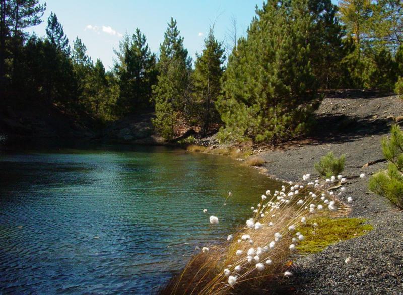
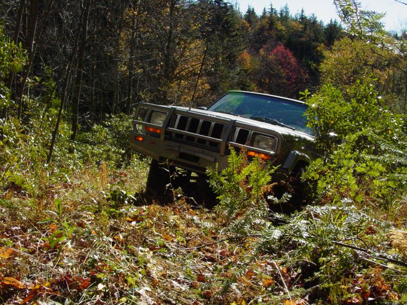
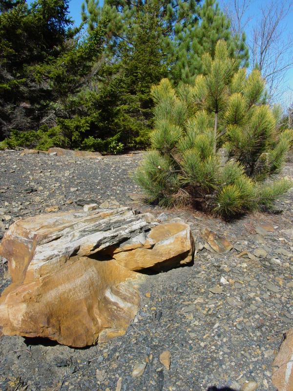
Overall, the terrain is quite interesting.
    
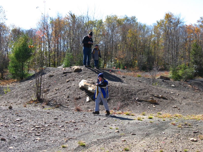
The
kids took off exploring.
Chris
and I took pictures of the pool and surrounding area for
some time then we moved on. Another minor challenge
lie ahead...


We
reached another interesting area and explored.
Movies
 

At
the top we parked and turned the kids loose. It was
11:39 AM so we took a one-hour lunch break.


After
lunch, we headed back down.
Movies
 
Tom wanted
to climb the big hill so I took a walk with him. We went about
half-way up before I suggested we go back down.
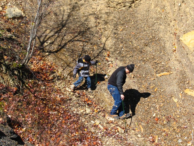
Going
back down involved some more going up...
 
 
Here's
Chris going back down to his Jeep before climbing this
little hill.
Movie

We
stopped at the pool again because the light had changed.


Back
through the pines.

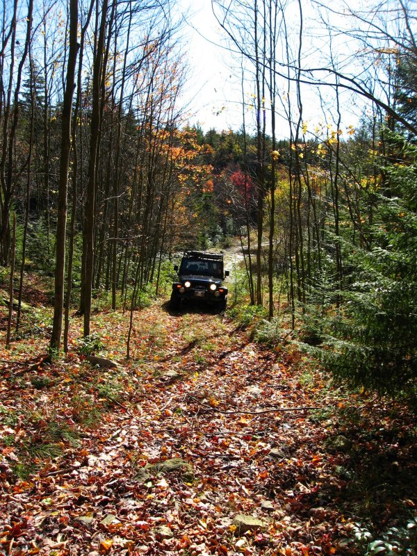
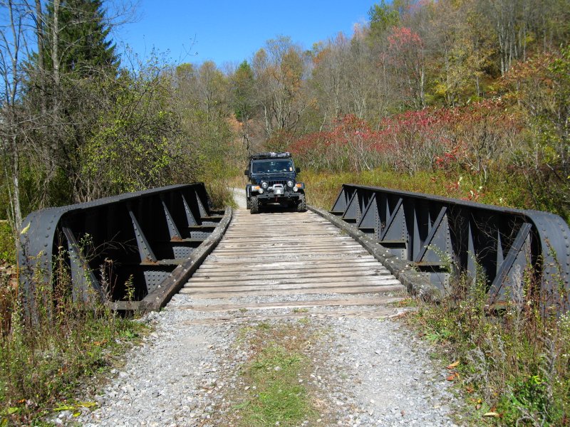
We
continued down Public Road 18 for several more miles,
crossing another ford along the way.


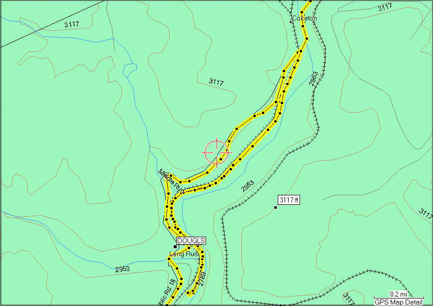
Near
the hamlet of Douglas we passed this steep meadow.


Coketon
When
we reached the crossing over the North Fork of Blackwater
River near Synder Run at 1:26 PM, I noticed the Rail Trail
to our right.
I had
never been able to take the time to explore it, so I
suggested we check it out. Chris agreed and we went
off down the trail to see what we could see.

There
were several people out for walks. We soon came to
curious ruins.
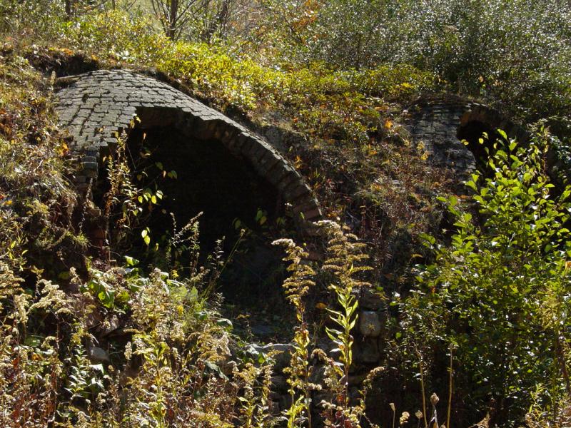


I
guessed that they were coke ovens. Upon returning from
the trip I did some searching and found
a site that provided some answers. It appears that
until 1921 these coke ovens were active. Here is a
photo from that site (that I archived in case the link above
goes dead) showing the ovens in operation.
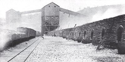
It's
a stark contrast to what it looks like today, almost 100
years later.
  
There
was lots of interesting scenery further down the trail


Pretty soon we reached the end of the trail accessible to
vehicles.
 
We stopped for a moment to look around.


Then we headed back to pavement and on
to Dolly Sods. On the way we stopped at the grocery
store for more Hot Dogs and wood.
  
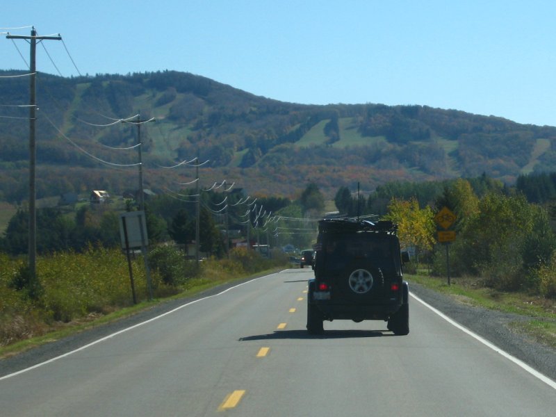
      
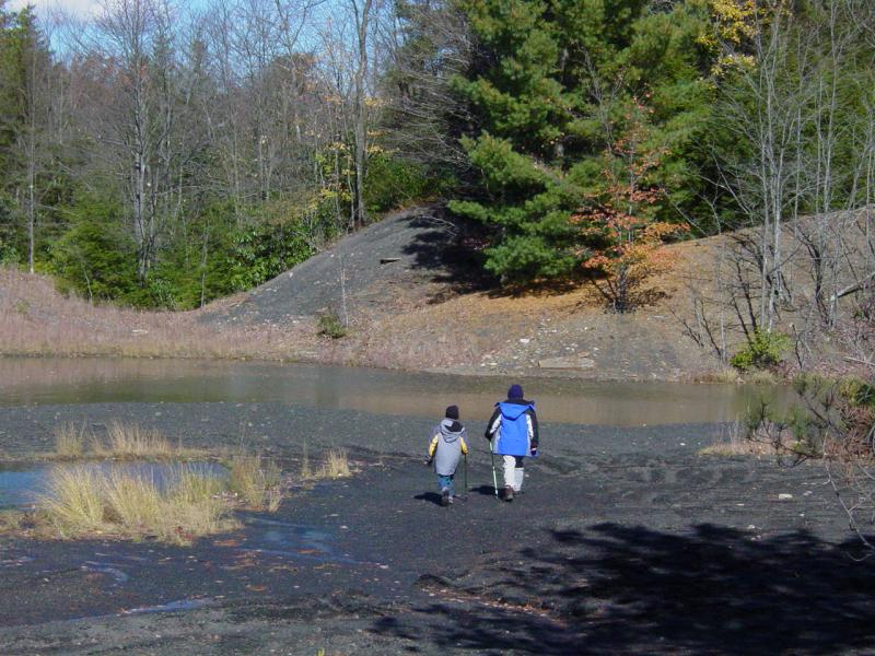
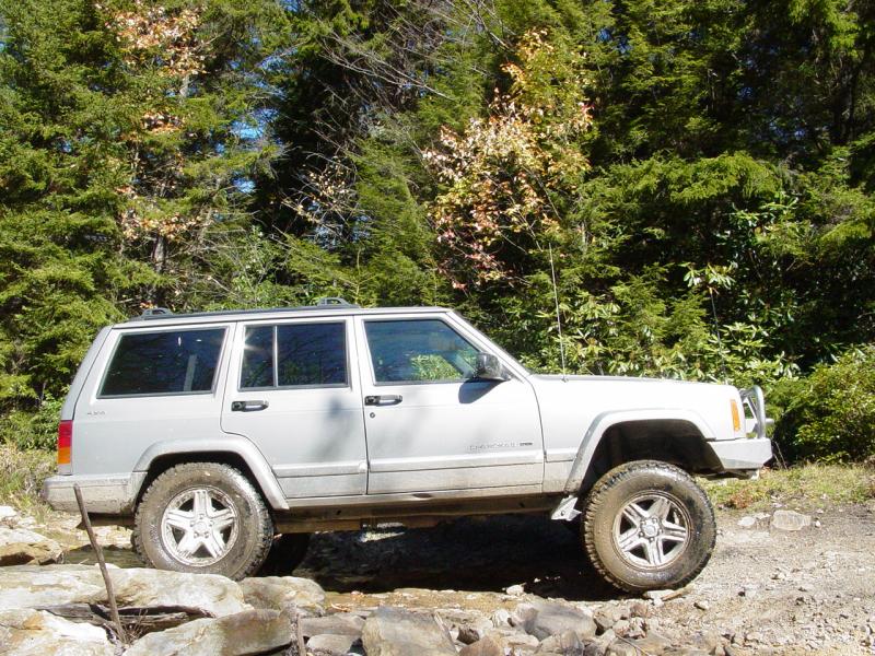
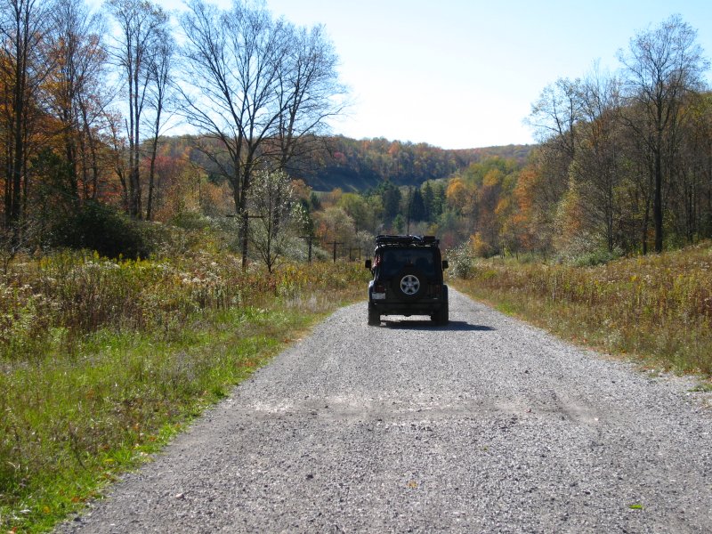
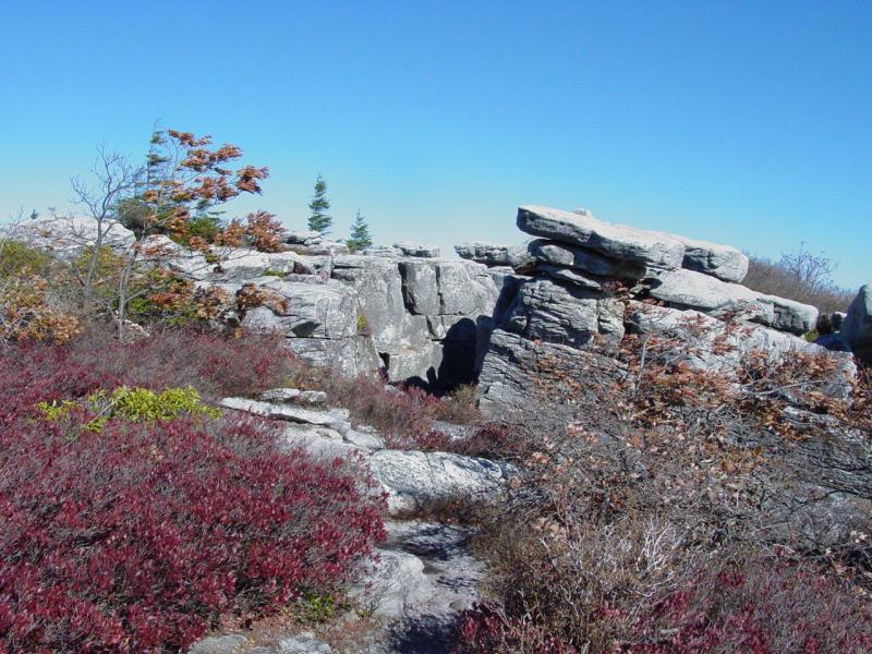
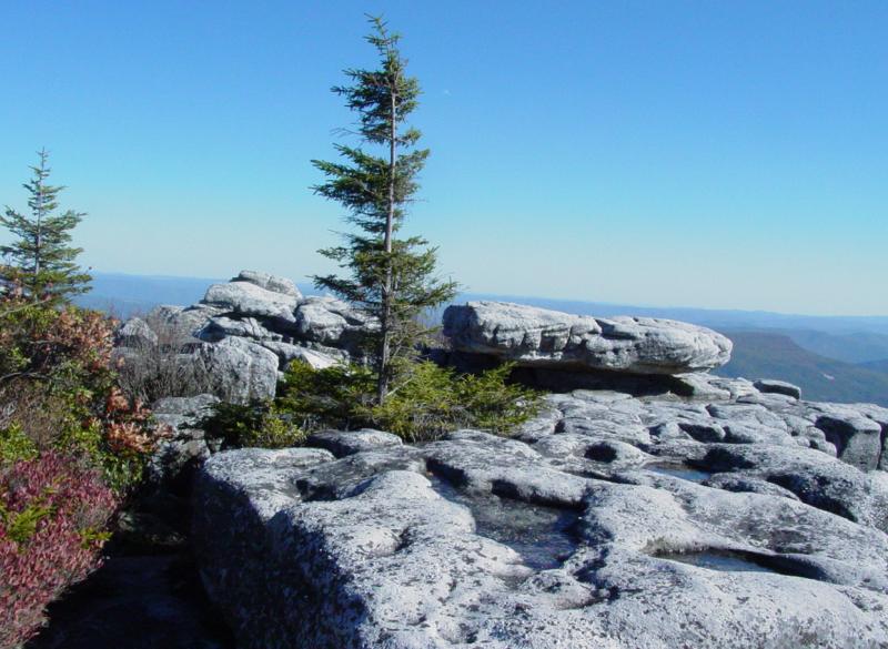
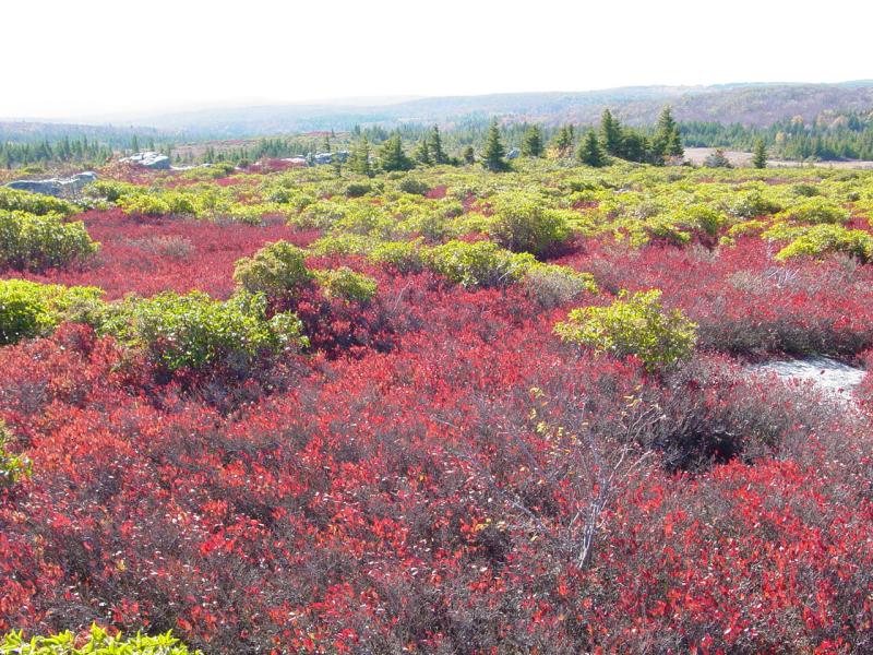
Dolly Sods
We got on the road to Dolly Sods from
Coketon at 2:00 PM. It took us until 3:00PM because of
the store stop, and the windy, dirt roads.


That left us the straight drive to
Bear Rocks.
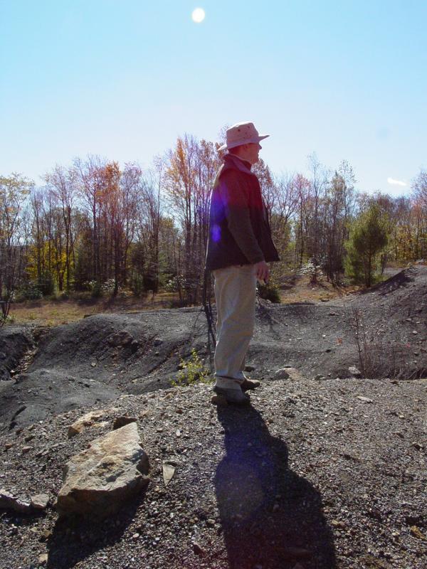
At Bear Rocks parking area we got
dressed for the cold and wind that awaited us. When I
opened the Jeep door, the wind grabbed it and torn the
footman loop that holds the check strap from the door,
leaving a stub of a screw blocking the hole that holds it.
I wonder if they make an "Easy Out" that small...?
I
wrote it off and got walking. We headed for the Bear
Rocks trail, a faint network of pathways that eventually
lead to Bear Rocks. We found the wind very powerful and
the cold, well, very cold...
   
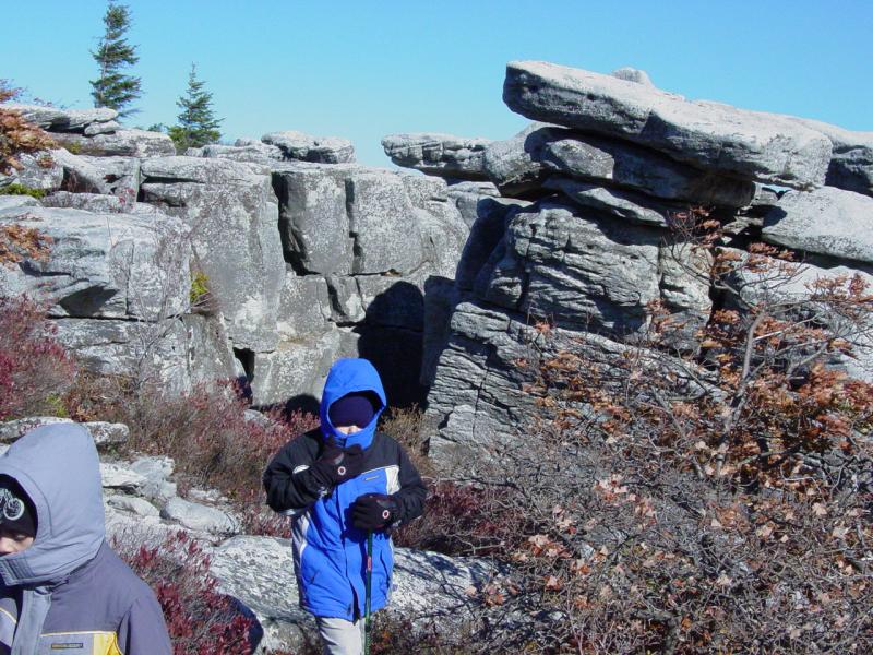

 
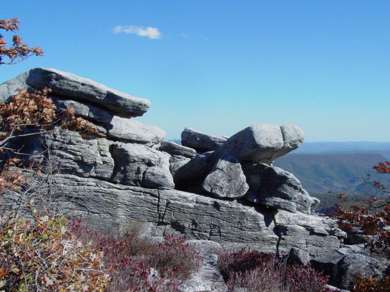


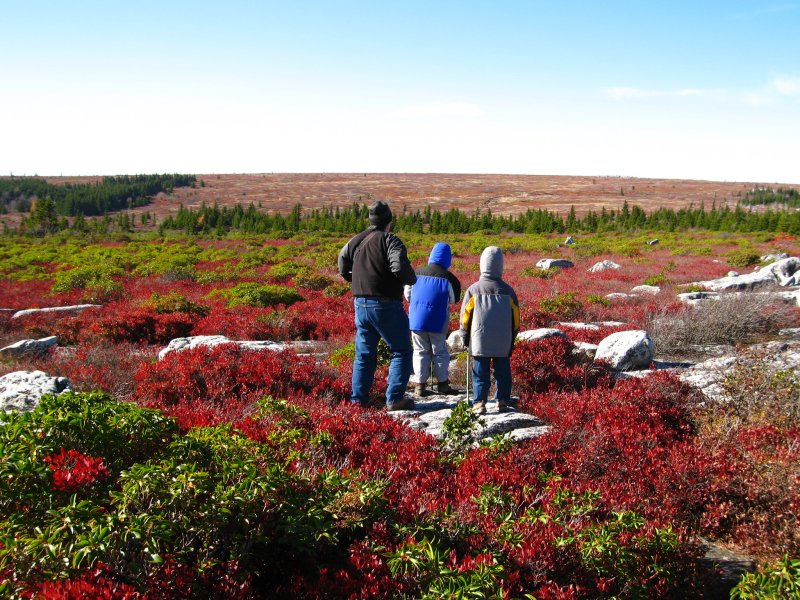
  
  
We didn't go all the way to Bear
Rocks. The combination of the wind, the cold, and the
risk of the kids wandering to the compelling cliffs-edge,
suggested a return to the relative safety of the Jeep and
the trail back toward camp. Along the way we stopped
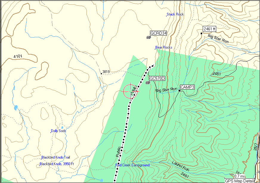
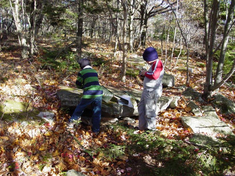
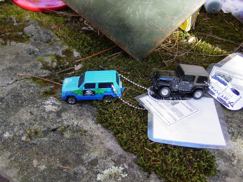
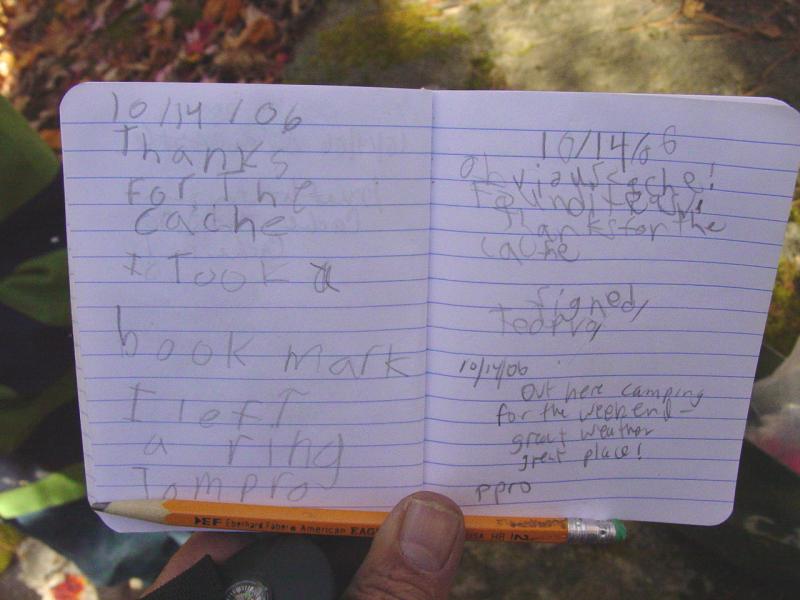
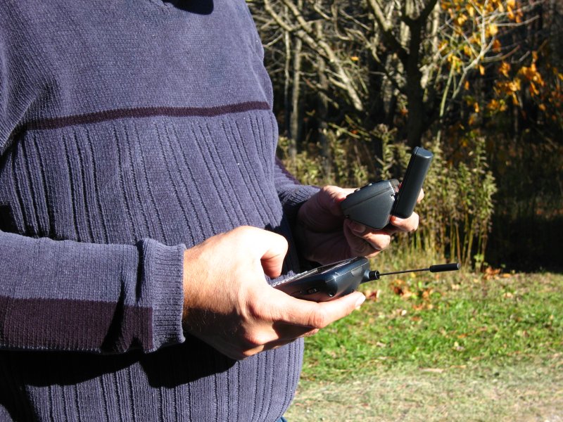
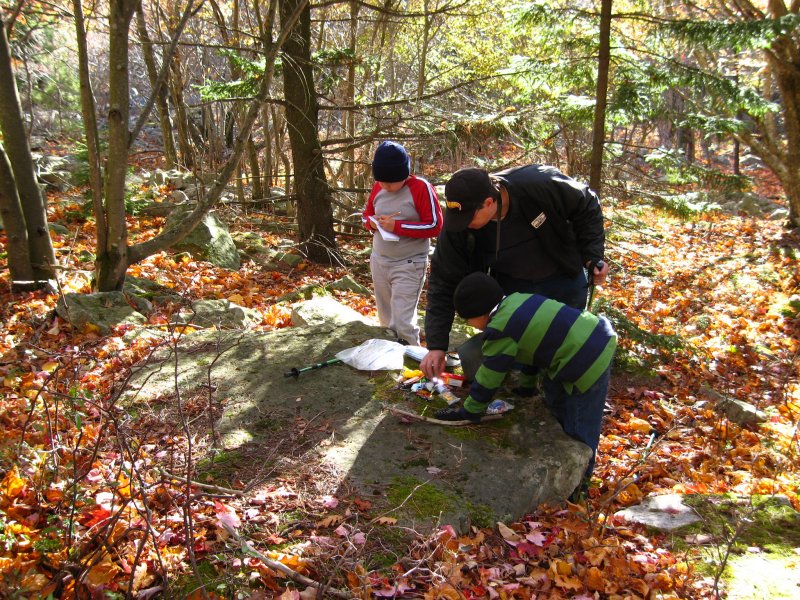
to visit a geocache.
Dolly Sods
South Geocache
We
stopped at
this cache to give the kids a chance to log another find.
I ran my travel bugs through; Ted traded for a vintage Hot
Wheels car; Tom for a Coke book mark. Everybody signed the
log and we headed on down the road!


I locked the keys into the Jeep, but we figured it out...
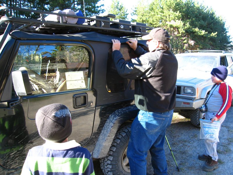
 
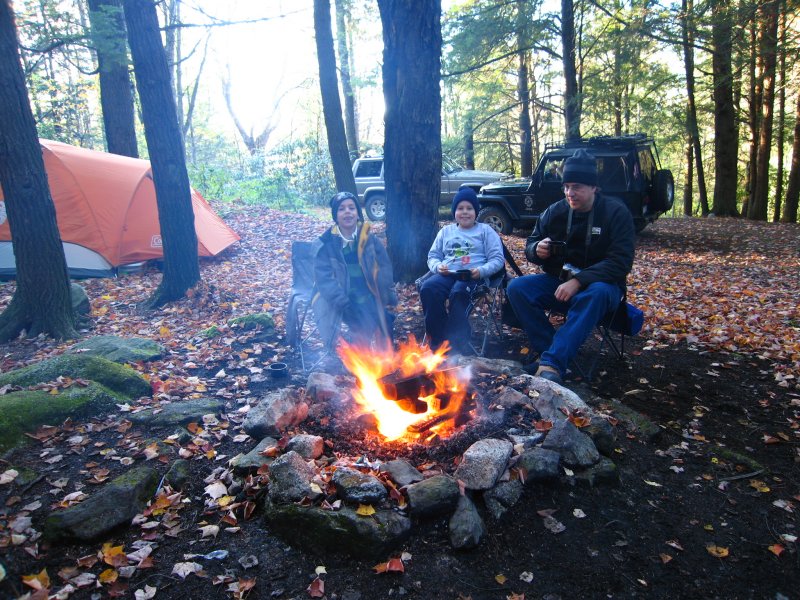
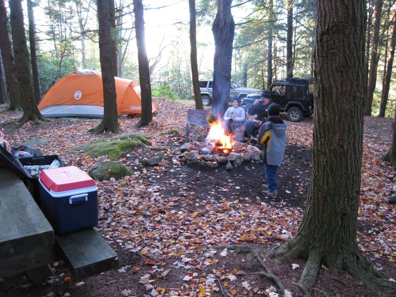
We drove
back to camp. We got back to camp at 6:03 PM. We had
company! Jim and Beth had arrived with their kids, Chris
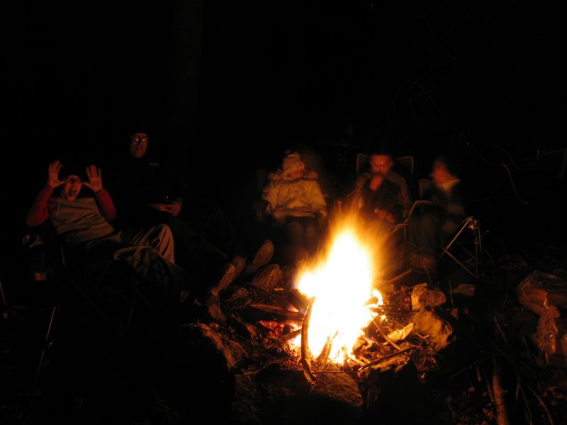
and Maddy! They were working on getting the fire started.
  

We greeted everyone and then got organized for supper. We
had Hot Dogs again, along with some snacks and marshmallows.
Ted decided to turn in early.
 
  
Later, the group would walk
to Big Run Scenic Overlook to watch the stars. While they
went, Tom and I hit the sack. It was going to be another
cold night but we were ready!
Sunday... (click here)
October 13, 2006 | October 14, 2006
| October 15, 2006 |
October 16, 2006
Chris Shontz
Photos in high resolution and more:
This is the lot:
http://www.flickr.com/photos/cshontz/sets/72157594334335200/
Pictures that
pertain to ppro:
http://www.flickr.com/search/?q=ppro&w=19972326%40N00&z=t
Pictures that
pertain to jim65wagon:
http://www.flickr.com/search/?q=jim65wagon&w=19972326%40N00&z=t
You can also view
the approximate locations for each picture on a Google map by
clicking on the following links. Please be patient and allow
these pages to load completely. There is a large amount of photo
and track data being processed.
Displaying
w/out track lines: (faster performance)
http://ixplor.us/map.php?u=cshontz&s=72157594334335200&f=expo_wv_1006_4.gpx&c=7200&r=0
Displaying
with track lines: (slooow performance)
http://ixplor.us/map.php?u=cshontz&s=72157594334335200&f=expo_wv_1006_4.gpx&c=7200
|


