|
October 13, 2006 | October 14, 2006 |
October 15, 2006
| October 16, 2006
Note: This trip report is broken
into four pages because of the huge number of images.
Links to each day's report are provided at the top and
bottom of each page.
Yesterday...(click here)
10/15/06 - Big Run Falls and Canyon Rim Cache
We got up
after Jim and Beth but before Chris. I got the kids to pack
all their sleeping gear and to organize their clothing and pack up
the trunks.
        
Jim and Beth
were feeding Chris and Maddy breakfast when we got started boiling
the water for oatmeal and coffee.
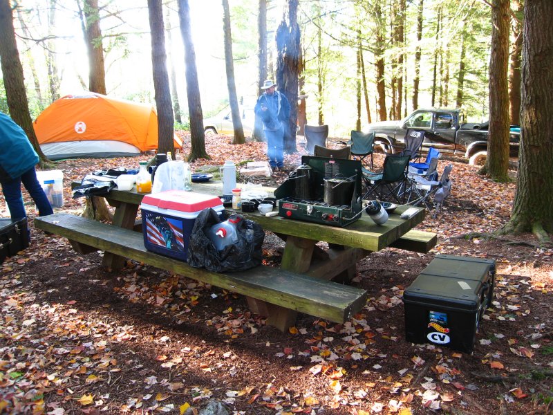
I mixed some Tang and got
the kids fed. Then like the day before I set to cleaning up
everything, making lunches and also started packing for the trip
home.
Chris
came along and told me they were headed down to the waterfall
nearby and then to the Canyon Rim cache. I decided to
pause the packing activities since I had everything pulled
together except the tent, and this was a good time to take a
break and go see some sights.
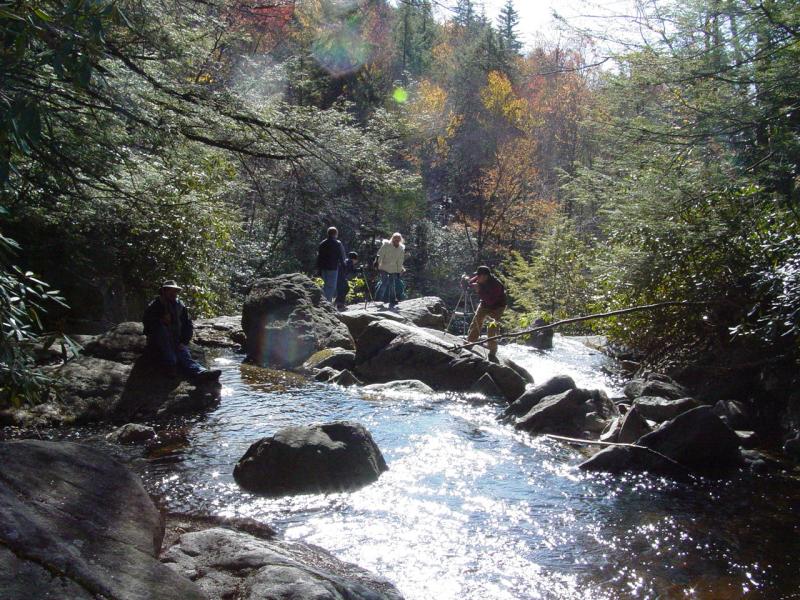
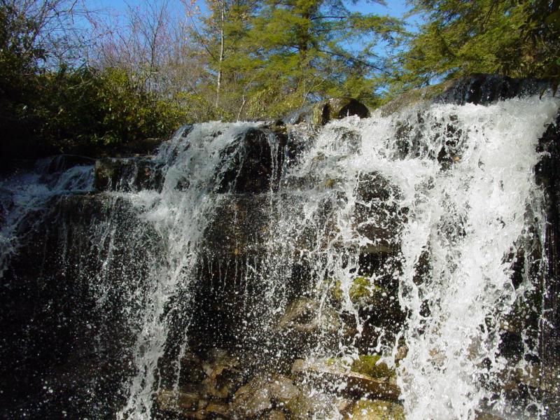
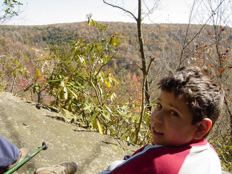
Big Run Falls
The kids
agreed and at about 10:30 AM we set out for Big Run falls just
below our campsite. Chris had scouted a likely approach
and we all scaled the river walls down to the falls. It
was a steep climb down that took me and Ted several minutes to
complete.
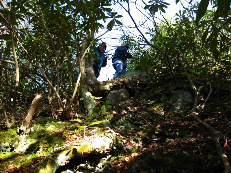
 
This was one time that the trekking poles were a
liability. Once down at the river level, we were treated
to a beautiful sight.


After
we'd spent ten minutes watching the falls, Ted started climbing
on some rocks on the river bank. He had found the
"official" trail down to the falls.
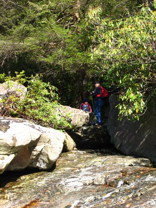
Everyone gladly
climbed back to the campsite using this much easier route.
Way to go Ted!
We spent
a couple minutes getting reoriented and then set out for the
Canyon Rim Cache at about 11:10 AM.
Canyon Rim
Cache
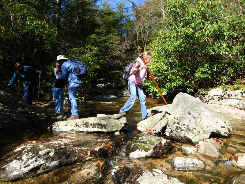
The trail
for to the cache started right at the campsite, crossed the
river, then after a brief climb, followed the canyon rim all the
way to the cache.

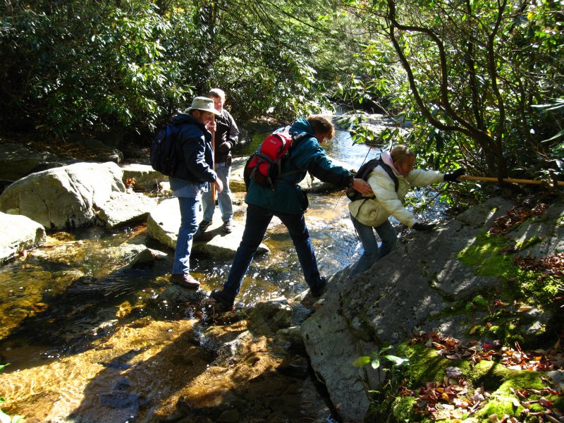
    
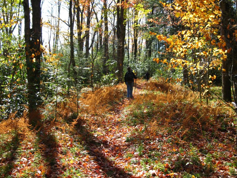
 
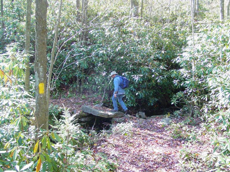
It was a beautiful walk which soon
passed the location we sought.
 
Chris
(Jim and Beth's son) was checking his GPS as I pulled mine from
my pocket and together we realized we had reached the cache
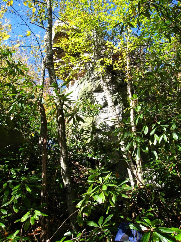
location. As was the case
last time,
this one was challenging to reach. I gave some advice to
make it a little easier, after all there were eight of us and
the area around the cache site was treacherous. Not only
that but the exact location was going to be hard pressed to
accommodate all of us at once. The kids followed the clues
to a tee and soon we heard Maddy exclaim "Found it!". The
rest scrambled up the steep climb and in turn exchanged stuff
with the contents of the cache!


We all
signed the log and carefully climbed back down to the trail.
Somehow Chris the elder beat us down. I think he took the
"easy way", wherever that is...
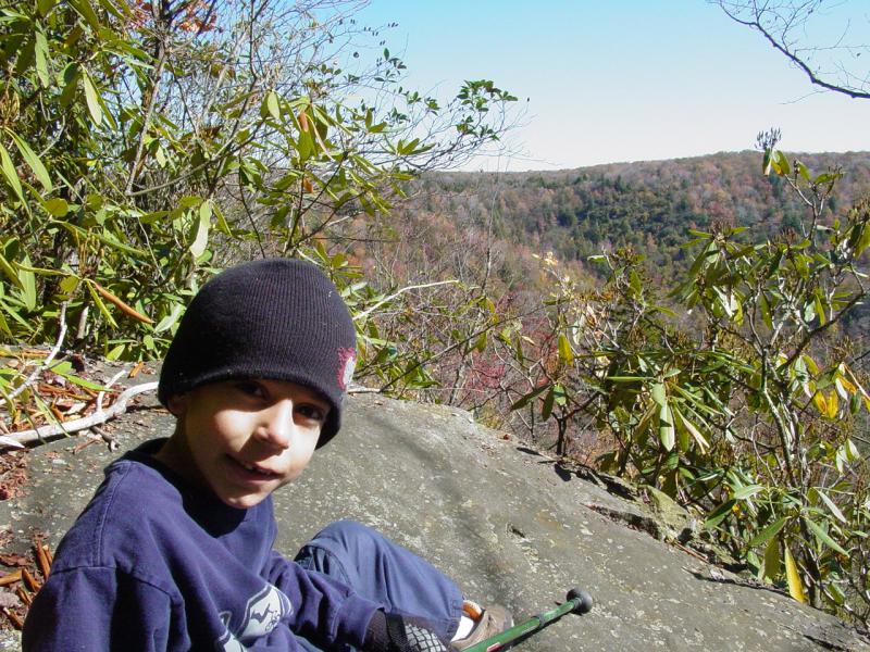
Everybody headed back. Ted, Tom and I stopped off at a
small outlook that Beth had scouted on the way in. Too
small for the whole group of eight, we managed to get on it for
a few minutes without losing anyone.
 
After
that we got back on the trail and by 12:20 PM we had made it
back to camp.


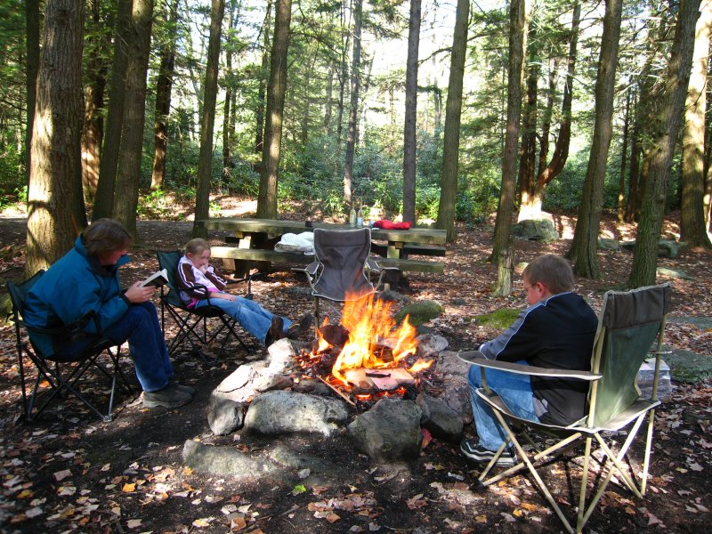
We took a break and had lunch. Then
while Jim and Beth, Chris and the kids headed out for Big Run
Scenic Outlook and Olson
Tower, we finished packing the Jeep.


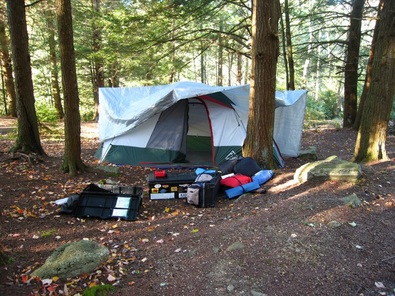
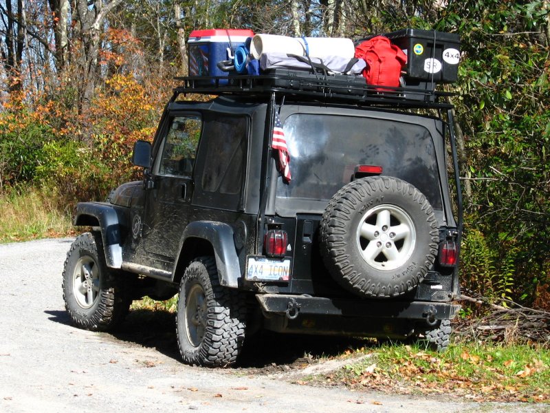
Packing
mainly involved
packing the tent and securing the trunks and stuff to the roof
rack. Then, about 1:40PM, we headed up the trail toward
the tower.
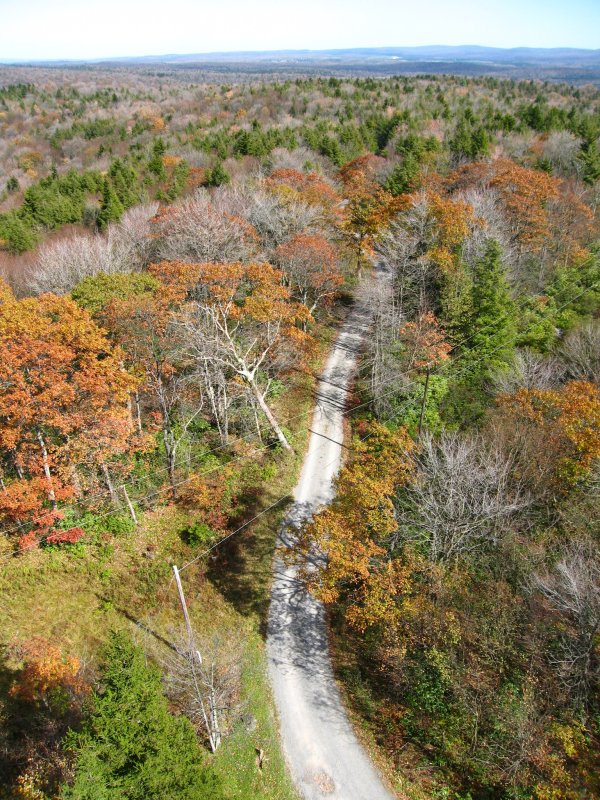
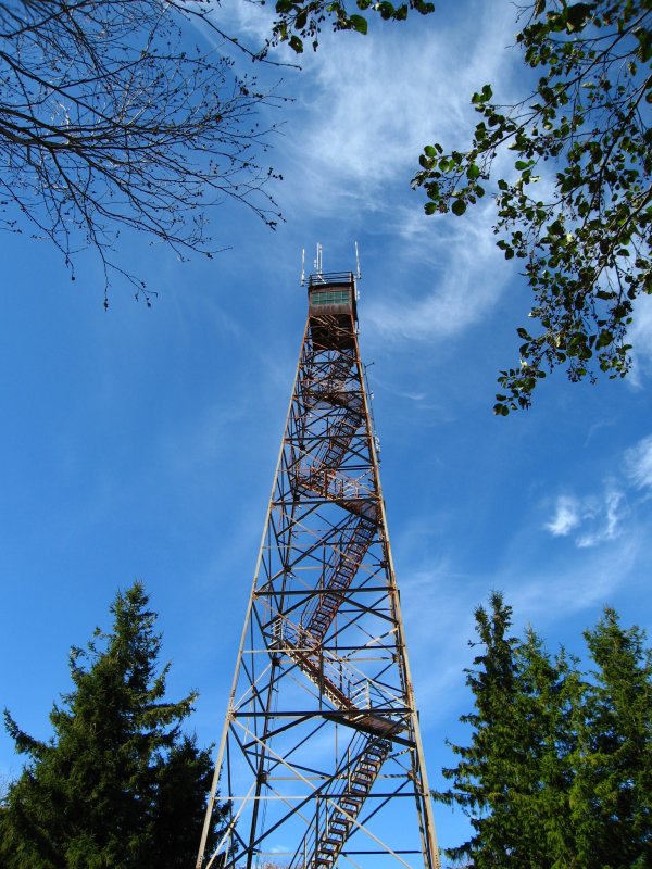
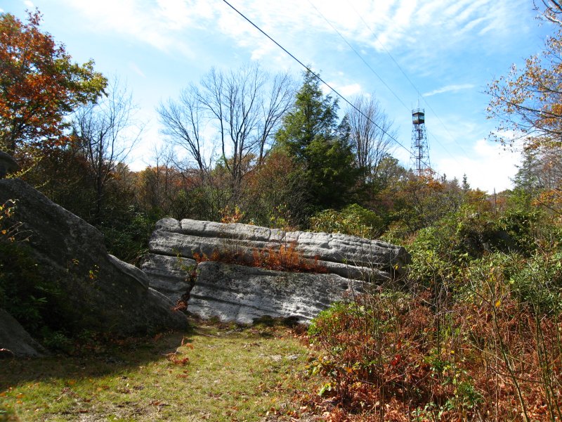
Olson Tower
We got to
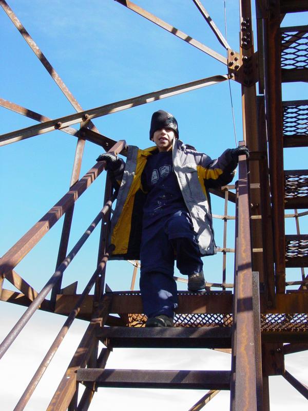
the tower at 2:00 PM and climbed it.


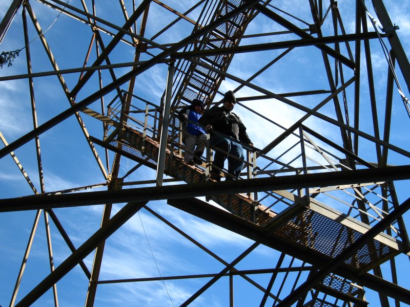

The kids went right
up. I found I was a little tired from the morning and quit
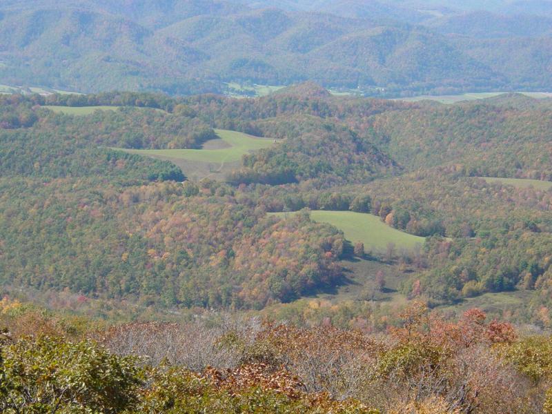
a couple landings from the top. The view from there was
just fine.


With
that, we said our final good-byes to Chris, Jim, Beth and the
kids. We were sad to leave knowing they'd be there another
day. But we wished them well and hope they had as good a
time as we did!
Tomorrow...(click here)
Here's
some pictures Chris took after we left.


October 13, 2006 | October 14, 2006 |
October 15, 2006 |
October 16, 2006
Epilogue
(We went
home on Sunday afternoon. Chris, Jim, Beth, Chris and Maddy stayed
overnight. Be sure to go to the October
16 page for Chris' photos!)
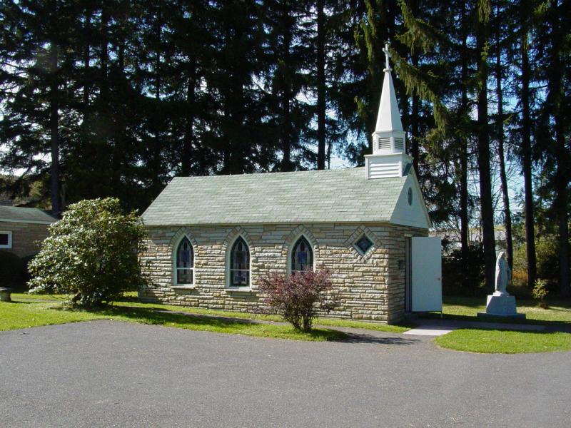
The trip
home held lots of pretty scenes. We wanted to get home so did not
stop. We did drive through the Smallest Church in the lower 48
states.
We made
good time and by 3:50 PM we were back in our own driveway. It had
been a very packed weekend. Everything went exceptionally well.
It was good to see Chris again, and to meet Jim, Beth and their family.
I highly recommend this time of year and this location to any outdoors
people who like strenuous activity and are not afraid of the cold.
It it rewarded many times over by the beauty and simplicity of this
place!
October 13, 2006 | October 14, 2006 |
October 15, 2006 |
October 16, 2006
Chris Shontz
Photos in high resolution and more:
This is the lot:
http://www.flickr.com/photos/cshontz/sets/72157594334335200/
Pictures that
pertain to ppro:
http://www.flickr.com/search/?q=ppro&w=19972326%40N00&z=t
Pictures that
pertain to jim65wagon:
http://www.flickr.com/search/?q=jim65wagon&w=19972326%40N00&z=t
You can also view
the approximate locations for each picture on a Google map by
clicking on the following links. Please be patient and allow
these pages to load completely. There is a large amount of photo
and track data being processed.
Displaying
w/out track lines: (faster performance)
http://ixplor.us/map.php?u=cshontz&s=72157594334335200&f=expo_wv_1006_4.gpx&c=7200&r=0
Displaying
with track lines: (slooow performance)
http://ixplor.us/map.php?u=cshontz&s=72157594334335200&f=expo_wv_1006_4.gpx&c=7200
|


