The
weather was cool and the foliage season was winding down. But
there was still some good color outside so I convinced the whole
family that we should take a ride. I recalled a favorite place
that I had been unable to visit for several years. The
combination of the drive to the place, the view it affords, and the
possibility of finding a geocache offered the promise of a great
afternoon and evening.
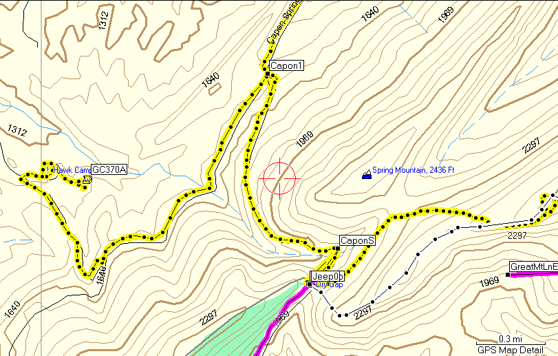
I located the spot
on the map and determined that we would have enough time to drive
there, hike to the view, and still get home at a reasonable hour.
With our late departure time it was important to be sure because we
did not want to be walking out of the woods in the dark. Had
this been a week later, we would have been too late. (Daylight
Savings Time not yet "off").
I copied the
waypoint, route and track data to the GPS,
packed four knapsacks with Ted's help, and soon we were loaded into
the Commander and
ready to hit the road.
After
about three hours on the road and many beautiful views, we reached
the trail head.
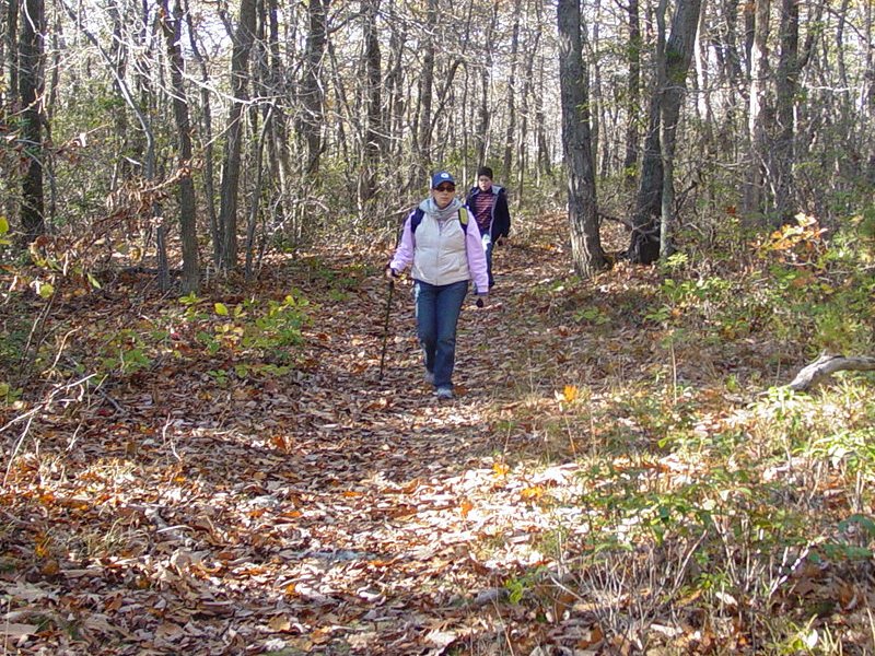
Everybody got dressed for the weather. It was in the high 40's
so it took a few minutes for us to feel warm. We set off up
the trail for what would be a one hour hike to the view.
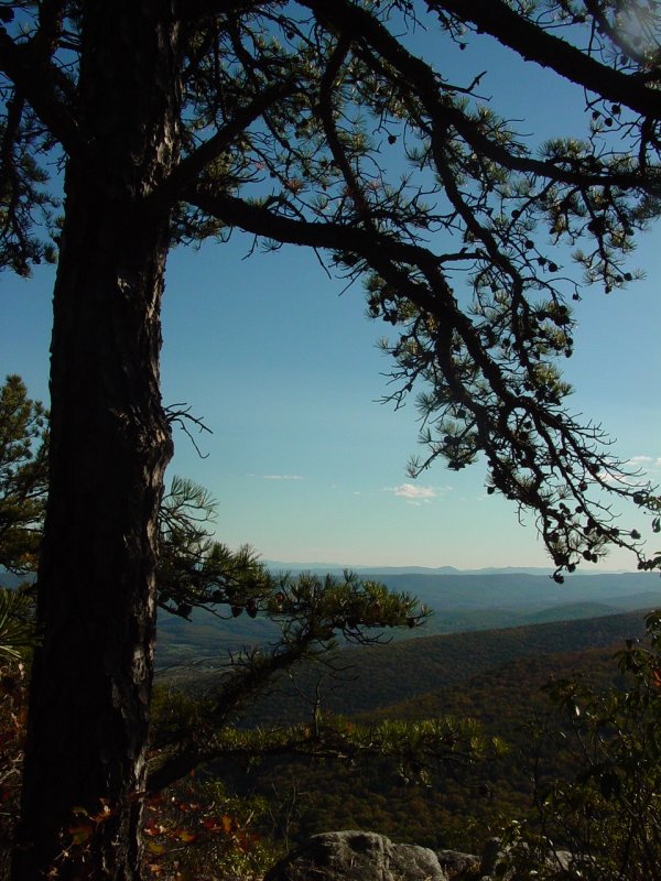
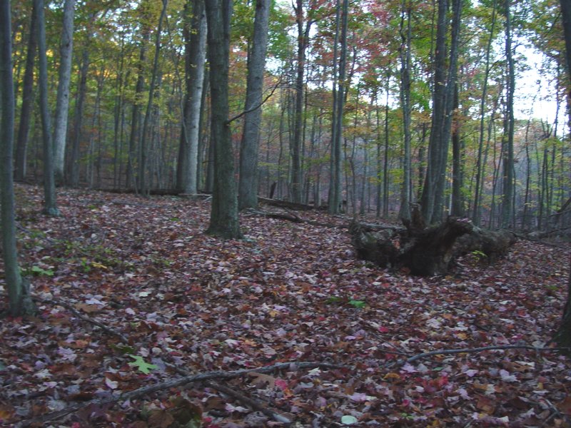
The trail is much
as I remembered it from my visit in 1985. If anything, the
trail is more visible and shows more signs of use, though certainly
not abused.
Along the way we
encountered a few groups coming down. Clearly we were starting
later in the day, but this was OK as I wanted the late afternoon
light once we reached the top. If I was alone I would probably
have even stayed for the sunset and made more photos at that time.
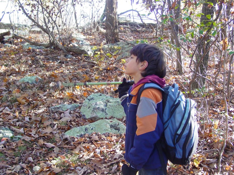
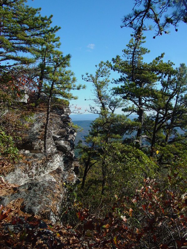
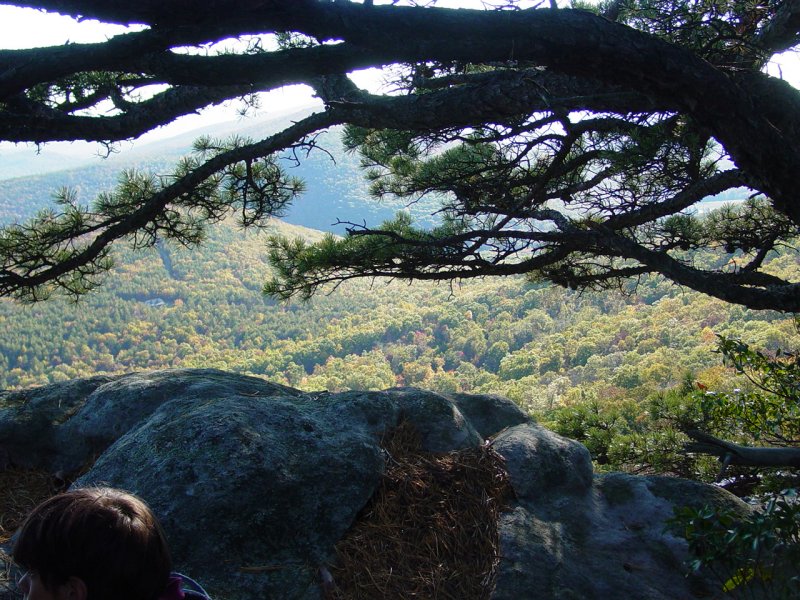
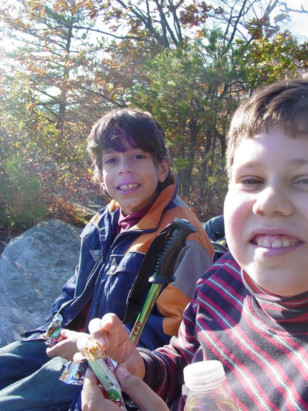
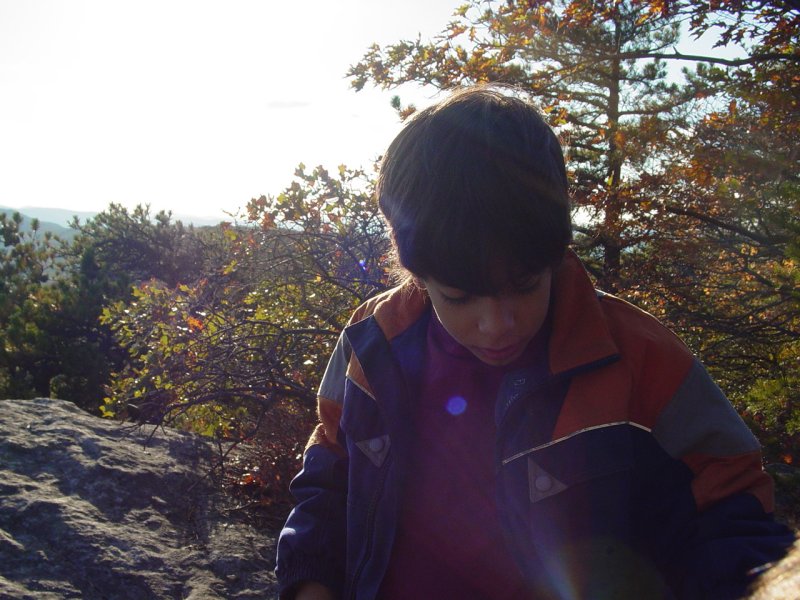
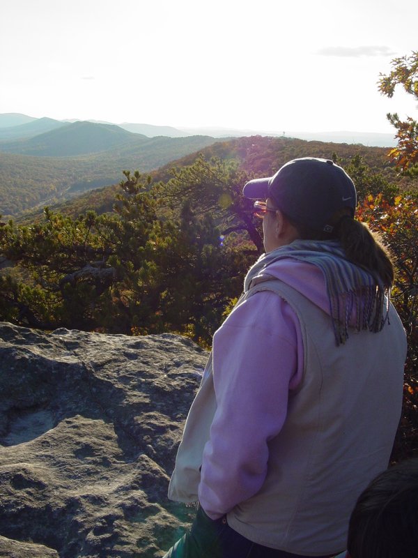
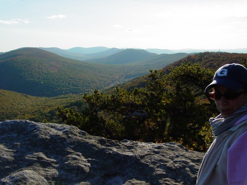
Pretty soon we got
near the top so I got the camera out and took some pictures of our
group as we crested the ridge.
We met some folks
already at the prime spot so I encouraged the family to push on up
the trail. I was trying to reach the spot shown on the map as
the summit.
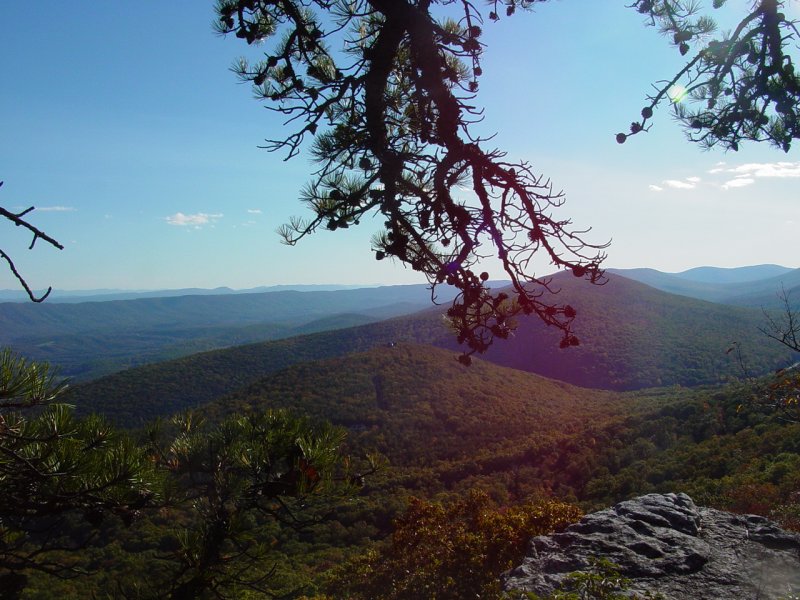
That turned out to
be a mistake as the trail soon faded into briars and huge boulders
that we climbed. Pretty soon everyone started questioning the
value of this, and with no clear landmark emerging from the
undergrowth, we turned back and found our way (thanks to the GPS)
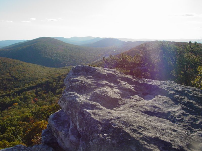
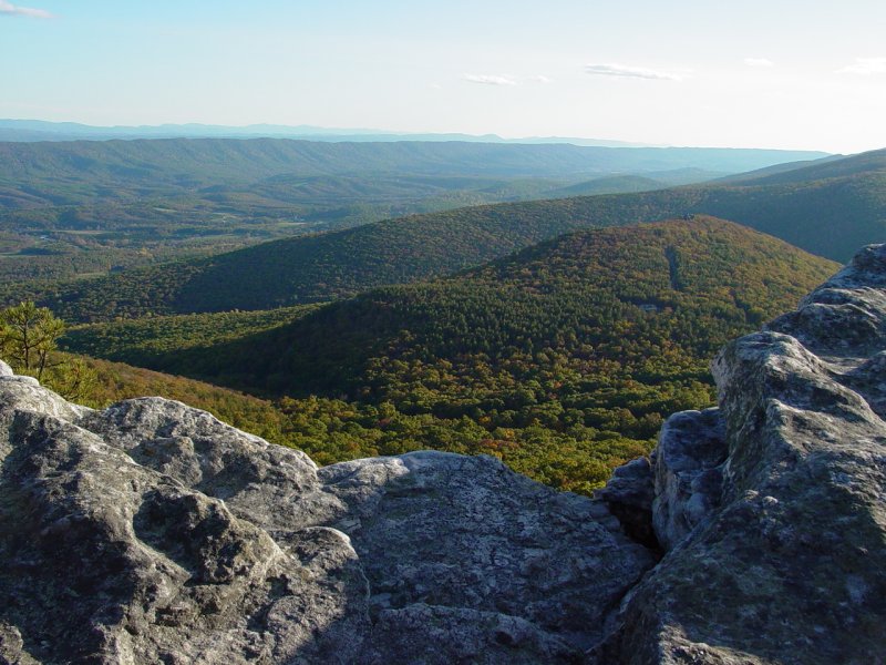
back to the path and the outlook that I had planned to visit.
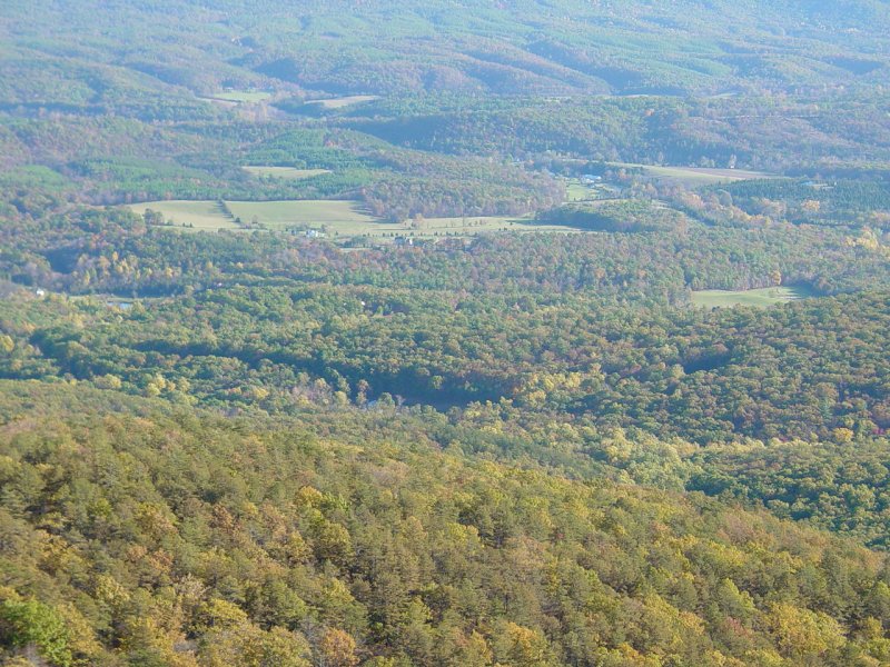
The other family
had left so we enjoyed it alone, marveling at the terrain and the
vastness of it all.
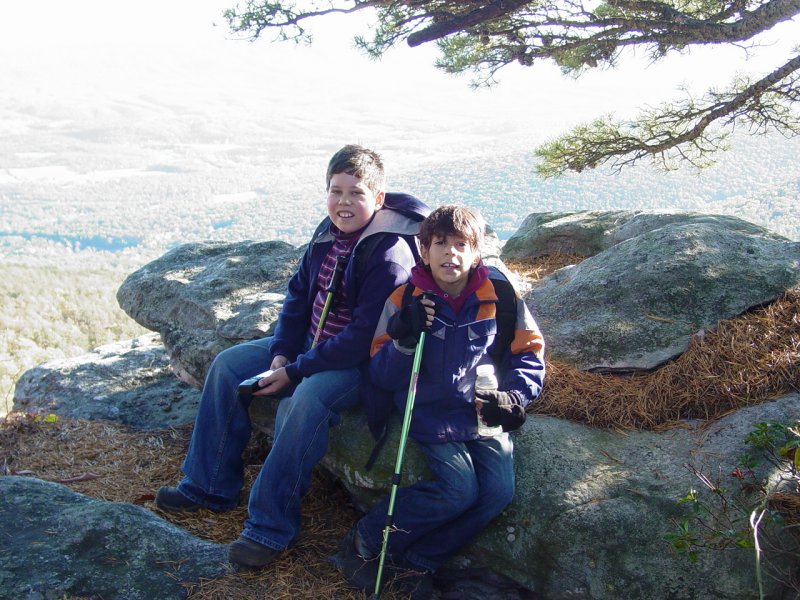
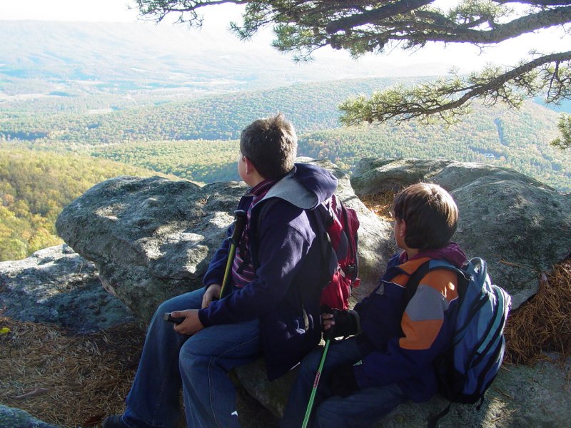
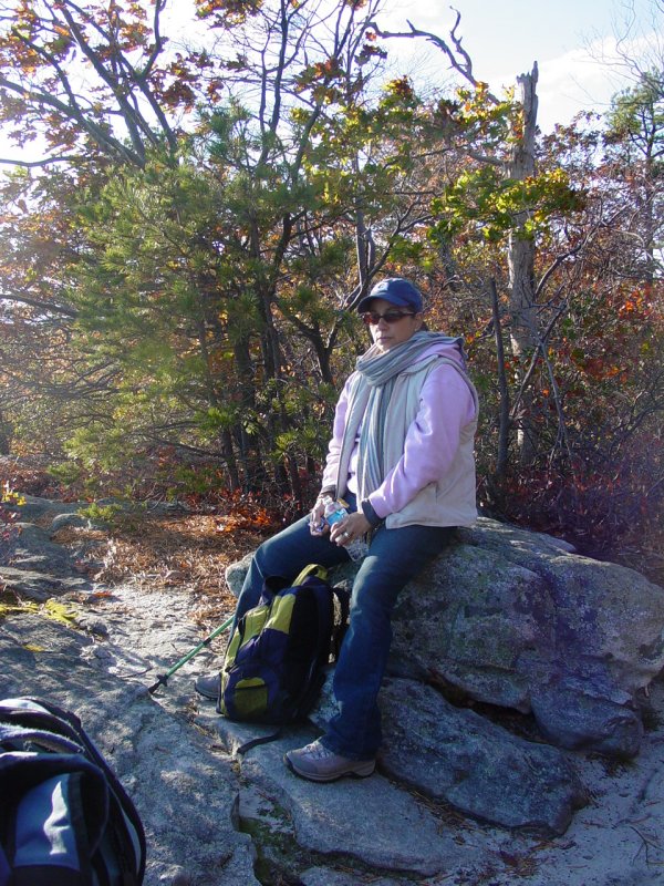
When everyone had
eaten something, and had a drink, we got organized and started back
down the trail.

The boys turned on
a Walkie-Talkie and went ahead while
Maria and I took our time getting down.
When Maria and I
reached the Commander, the boys were hiding on us. I played a
trick on them and remote-started the Commander. That brought
them out of hiding - nobody wants to be left behind, in the midst of
the forest, three hours from home!
From here we drove
down the road 2 miles to Hawk Campsite where the
Deer Hostel Geocache was located. While everyone sat in
the Commander, I took the short hike to the cache, signed the log
and made a couple images.
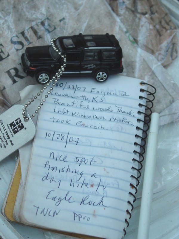
I radio'd my
find to them and then hiked back.
The drive out took
us through the Capon Springs Resort. It is a place where
people go on retreats and things. It's a beautiful place that
would be nice to visit someday.
We drove back
along the Capon Springs Valley Road that follows the river across
the valley. It was very pretty near sunset.
When we got to
Romney we stopped at the Dairy Queen/Brazier to have something to
eat, then hit the road for home.
