One of the beauties of
living here in West Virginia, as opposed to Suburban Maryland, is that
when we want to go out, we are not faced with a three hour drive to get
to the trail and another three hour drive to get home. There are
lots of places nearby that are easy to get to in 15 minutes or so.
They are legal county roads that are either poorly maintained or not
maintained at all. There are lots of historical dimensions to
these places so there is a chance to learn as well. And because
there are so many places to go, the trails are not overburdened with
traffic. This should hopefully keep things from changing too much.
We drove a short distance
down the highway, about five miles, and got off at the correct turn.
I followed my planned route until we left pavement. A lone 2WD
pickup truck was ahead of me. Eventually I think the driver
noticed us because he pulled off and let us pass him by. As this
road goes down into the canyon next to the river, and nowhere else, I am
sure he was wondering where we were going. We had not yet passed
the last couple of residential roads that spur off to the side so we
were thinking he must live out here.
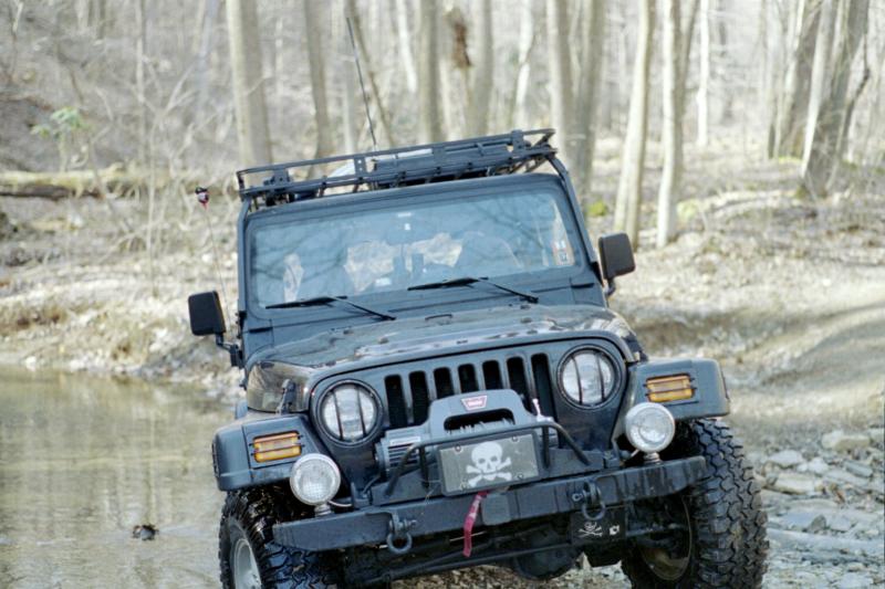
At the first waypoint
provided for the geocache, we decided that we would have no trouble
continuing. This spot was recommended as the last place to park
and turn around for 2WD vehicles. My friend Ken at work may want
to park his mini-van here and walk the rest of the way in, though
depending on his prior experience, he could probably make it a little
bit further in with some spotting and careful choices.
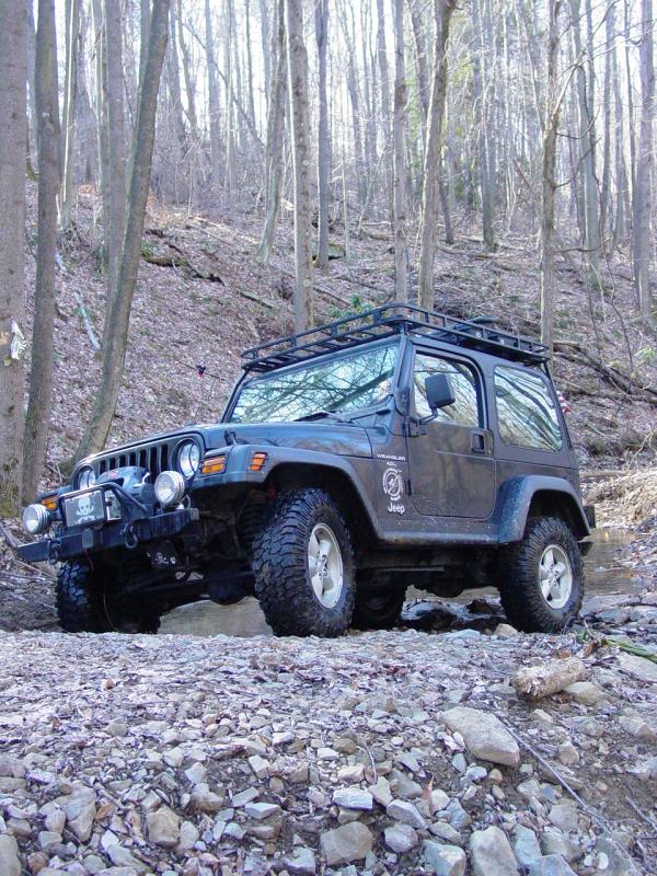
We just slapped it in 4-LO
though clearance is the only real issue from here to the next "spot" in
the road. I didn't bother to disconnect or air down. I
should have, but mainly for comfort, not for any real traction issues.
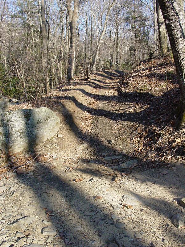
We made good time down the
trail though Tomi commented that he was uncomfortable with the view out
his window. I stopped and took a look. Sure enough, it was a
sheer drop down to the floor of the canyon and the river below.
There was plenty between us and the bottom but it sure is an impressive
drop, some 450 feet according to the topo map. That's roughly half
the elevation change on
Black Bear in Colorado. Let no one say that West Virginia is
lacking in trails with pucker factor.
One would have to be
asleep at the wheel or very careless to get into trouble on the trail,
but still, it did get our attention and keep us focused on staying on
track and choosing our moves carefully. In the summer when the
trees fill in, this will be less evident.
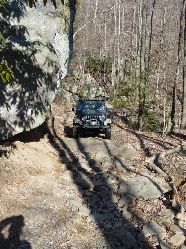
Pretty soon we came to the
second spot where the geocache owner suggests parking, the last spot to
turn around, the road ahead strewn with challenges and narrow spots.
This is what we go looking for. This is the point on trails where
casual back-roads drivers stop and walk. Given a legal trail, this
is where it gets interesting for us. This proved to be the case
here. The trail is far from extreme, and most likely a stock
vehicle and driver with some off-pavement experience would be fine, but
from here on out it did require a little bit more care.
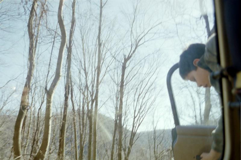
We stopped to make some
photographs.
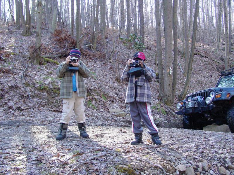


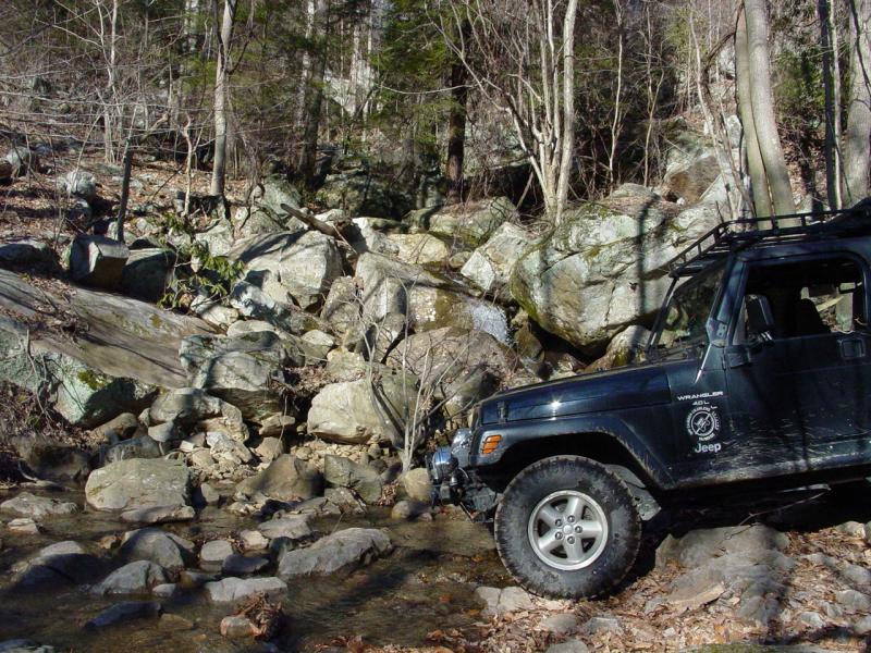
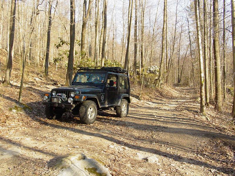
The next spot was a little
bit more technical but still nothing a moderately experienced driver and
stock vehicle could not handle. Ted and I got out to take a couple
pictures. I chose some angles that would make the spot look worse
than it really is. But if the viewer gets nervous and pale looking
at them, instead of excited and wishing they were there, then they
probably should not drive down this far...


Nearby is a cave. We
did not stop to check that out today because we were already pushing the
envelope by wheeling alone and because of the late hour in the day.
I found
a video and
many pictures of the cave that shows a very interesting place.
It looks like something that requires a bit of skill and some equipment
to explore - we lacked both as of this writing. I do not recommend
going in the cave unless you know what you're doing, and someone knows
where you are and when you're expected to return...
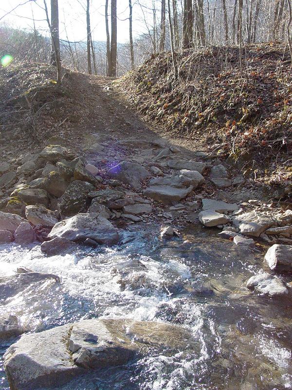
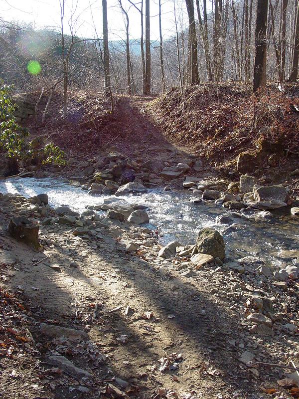
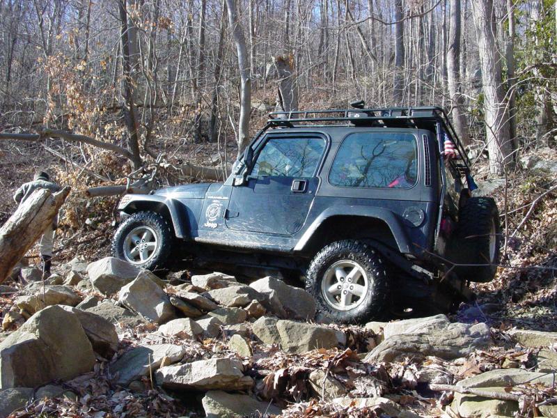
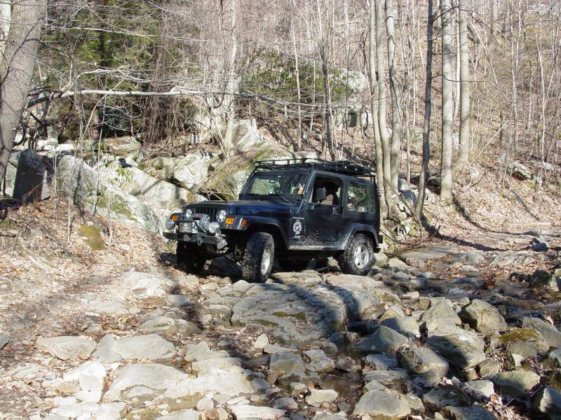
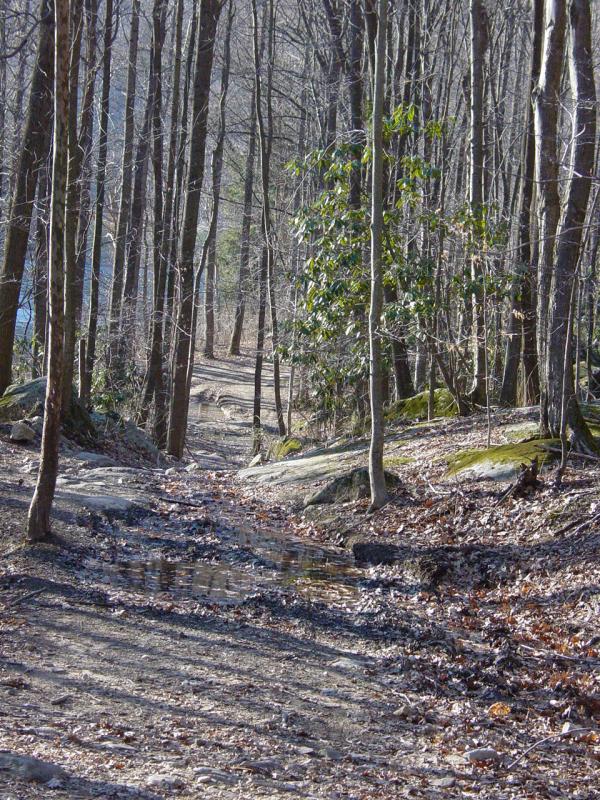
Past this spot we came to
Christopher Run. Again I stopped to make a couple images.
This spot has some pretty good sized boulders in the crossing, along
with some pipes. It should be noted that the spot where the pipes
start, the water disappears into the ground around the pipes. This
leads me to believe the surface downstream of the pipes is not as stable
as it appears. We chose to hug the upstream side of the crossing
to avoid slipping off the hillside... There was plenty of room to
do so, and not very many rocks to climb over.

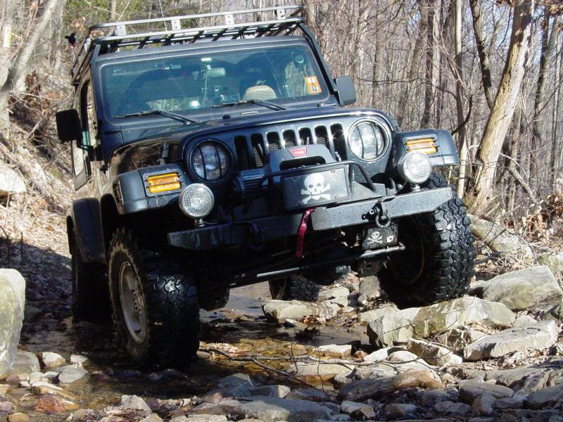
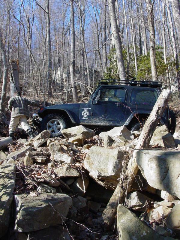
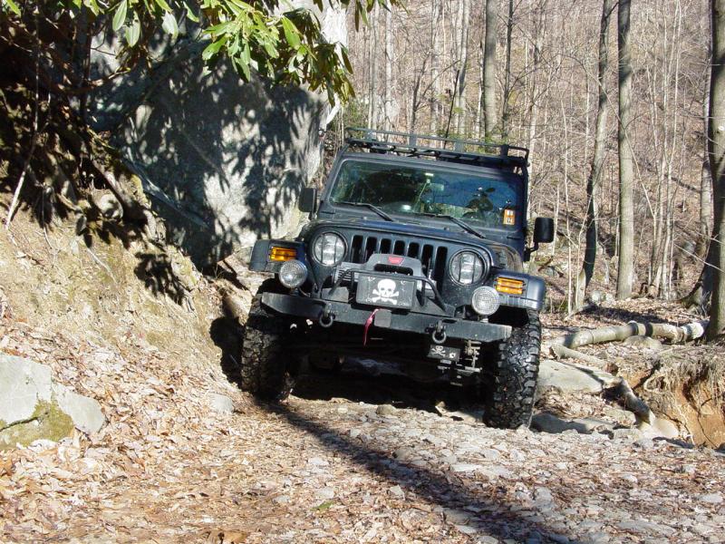
Immediately after crossing
Christopher Run we came to the spot in the trail with the slip.
Pictures on the geocache page made it clear that the trail has eroded
away and become narrow. it was hard to tell how narrow it was, so
we were not sure what to expect when we got here. I was happy to
see that it was not completely impossible though it was rather tricky.
We would have to hug the large boulder uphill, and avoid tipping into it
as we passed. We also had to stay far enough from the slip to
avoid any instability or to fall off the edge into the 400-foot deep
canyon... In this photo, you can see the boulder but the slip is
not visible (it is to the lower right of the photo)
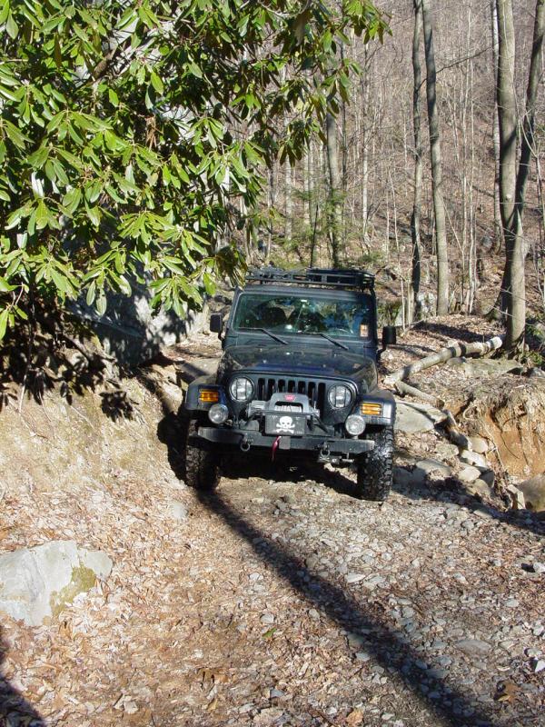
Here can be seen the
vehicle passing the slip on the right of the photo. This is a very
conservative line taking into account that the slip is probably still
unstable and the implications of triggering a slide fairly serious.
This photo does not give the best view of the conditions. It is
tighter than it looks.
Here is another photo that
gives a better view of the slip. It still doesn't look as bad in
the picture as in real life. If the viewer is afraid of heights or
cannot focus while driving, this is not a good spot to be with a
vehicle... Note the tires are 10 inches wide so it appears there
is two feet between the side of the wheels and the edge. There is
about 3 inches between the roof rack on the vehicle and the boulder.
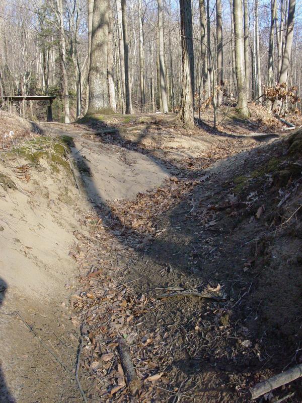
Once past the narrow
spot, the rest of the trail is just narrow, muddy in some spots (not
enough to get excited about) and rough. Still pretty much the
domain of a stock 4WD vehicle driven by someone with moderate
experience. We soon reached the cache location. I parked the
Jeep and we started looking for it.
The cache wasn't too hard
to find. But it wasn't sitting out in plain sight with a flashing
light on it either. That's about what we like so we had a good
time looking for it. In a few weeks, the briars will be hidden by
new growth so it may be a bit more troublesome, but we got through just
fine.
We logged the ppro Jeep
Club through the cache.


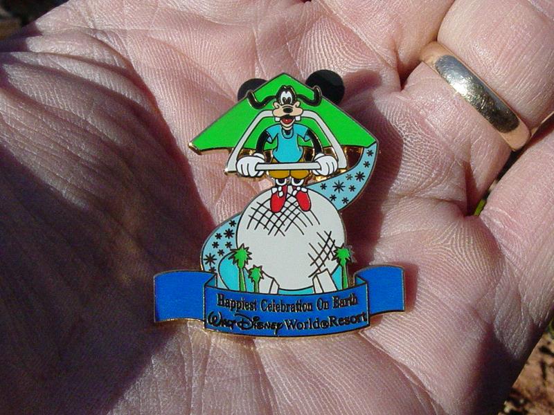
We placed the Disney Pin
in the cache.
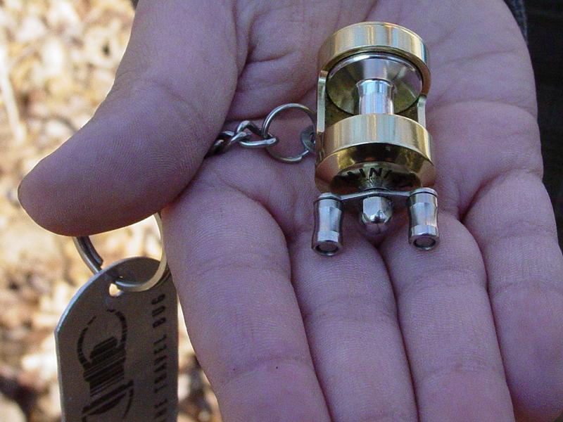
Ted chose the fishing reel
Travel Bug to move on to another cache.
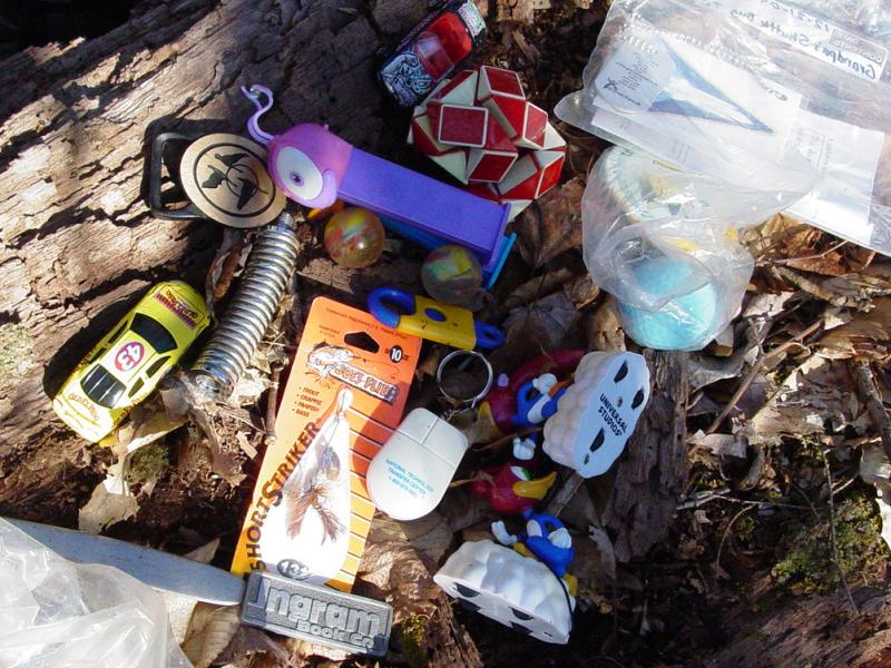
Tom chose the Old El Paso
NASCAR die cast car to move on (shown here in the lower left of the
collection of other stuff in the cache)
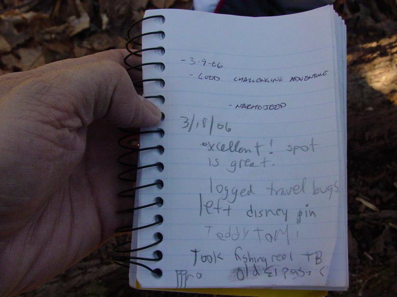
Of course, we signed the
log:
After we packed up the
ammo case and replaced it in the hiding spot, we returned to the Jeep.
There is plenty more to the road so I decided to spend another 1/2 hour
driving before we turned around to go home.

If you've made it this far
with the mini-van you should have no trouble going the rest of the
way... Send me a picture of the mini-van here - I would love to
see it!
We found a clearing where
the road appeared to end. There is a fire ring, some stones used
for sitting, and a lot of room to camp or have a picnic. It
appears someone stopped here and left their helmet behind when they
left. It also looks like shooting is a diversion practiced here.


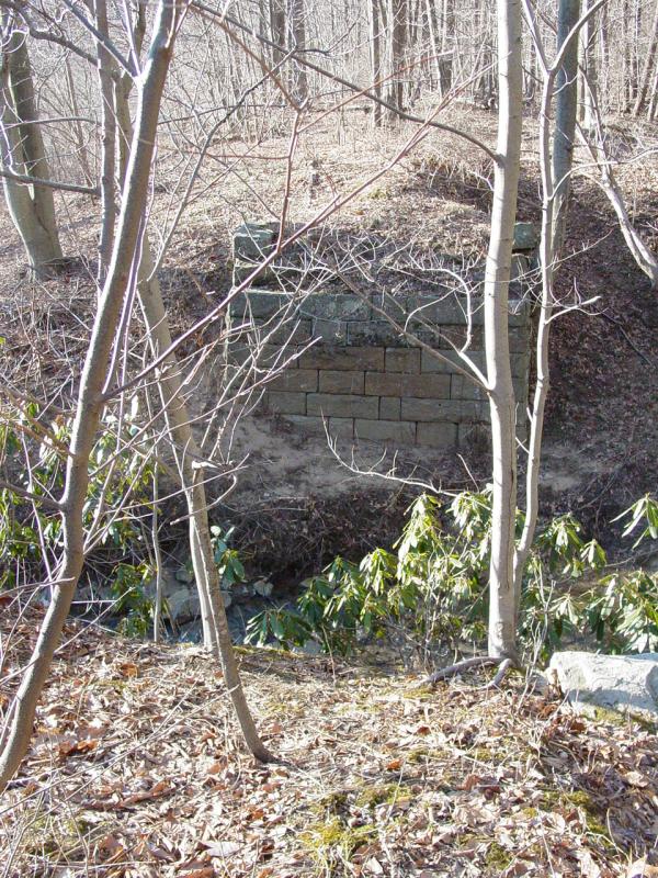
Looking around, I noticed
the ruins of a bridge that spans Scott Run. It appears to be a
carefully erected footing on either side of the stream. The span
is long gone, though the footings still appear to be quite robust.


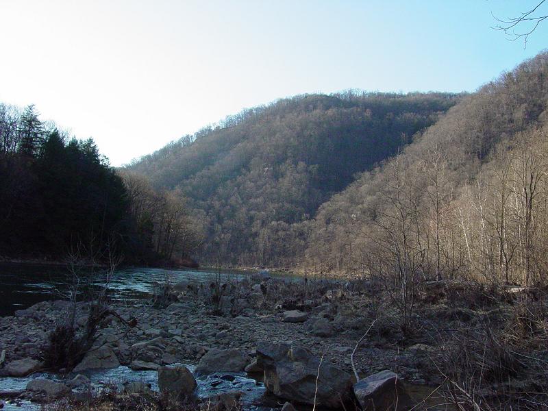
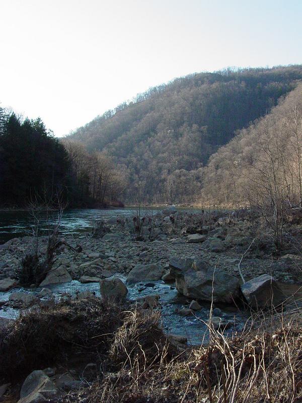
A wide sandy path leads to
the shore of Cheat River.
From there the bay can be
seen, with the hill in the distance obscuring Cooper Rock.

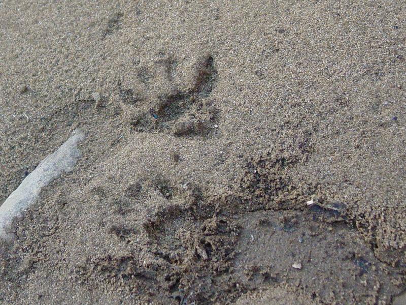
There are plenty of signs
of wildlife. I don't know what beaver tracks look like but I
understand that the tail drag usually obscures them, and the rear feet
leave impressions of the webbing. These could be raccoon, river
otter, skunk, or ?? Here is a track I found on the shore of the
river.
Back up on the bank of the
river I soon found that the Scotts Run is forded upstream of the old
bridge location. There is a track that leads down to the ford and
another that leads up the other bank. It looks like it is used by
ATV's though it is somewhat wider. I don't think the mini-van is
going across this spot...