Research Pays Off...
Sometime in 2006 I was looking for
a waterfall on Judy Run and I happened across an interesting spot
nearby on the map. I did a fair amount of research but
could not find very much about it. The Nature Conservancy
has claimed the spot and provides some information. But
the directions are a bit sketchy and it was never clear whether
or not there was a passable road, and whether or not there was a
gate preventing its use.
Mike and I talked about going
there sometime. I saved my research, including my GPS
data, and more or less forgot about it. Last week, we got
to talking about going out for a day to make some images and
when asked what I might like, I told Mike "elevation".
Mike reminded me of this spot we'd discussed and so I dug up the
research and decided that this would probably be a perfect spot
to get elevation - the top is at about 4300 feet.
Next I re-immersed myself into the
research so I could make several determinations:
-
Travel time from our home base
-
Condition of a road to the
summit
-
Access to the summit using any
road
-
Other options once we got
there
First I overlaid my
GPS data onto
Google Earth. The location was still pretty inscrutable -
the road (if there really was one) was not visible. I
found two accounts of people who had visited. I found a
few pictures that could have been taken just about anywhere on
the planet. In short, I had a map coordinate, anecdotal
evidence that there was a road, and that the view was good.
I determined that we would need to
leave Mike's house no later than 3:00 AM to have time to reach
the summit (with some walking) in time to photograph the
sunrise. I was relatively certain that we would be able to
drive a couple miles in the woods before we either reached
impassable trail or a gate. I had also found that the
"road" continued past the trail that led to the summit, down the
other side of the mountain. I marked this route on my GPS
data and saved it all to the GPS.
I got up at 1:30 AM and by 2:54 AM
was at Mikes house. He threw in and we drove in the dark
all the way to the trail entrance. I took on fuel a couple
times just to assure we would not have problems running out of
gas in the woods.
We reached the trail at the
predicted time and began our ascent to the summit.
This involved driving a progressively rough road in total
darkness, aided by the lights on the vehicle.
True to the
few accounts, the first couple miles were reasonably easy going,
though it appears that the hypothetical "passenger car" of the
accounts I read would take some abuse if
driven on this road. At the point predicted to be too
difficult for said passenger cars, we encountered a road with
significant rocks and erosion - the road is not passable with
anything but a high-clearance, 4-wheel drive vehicle. I
would even submit that a stock 4X4 would be challenged, though
this is not by most accounts an "extreme" trail.
It's ironic that I had actually
considered bringing the Commander. The fact of the matter
is, with its low-range 4-wheel drive, electronic limited slip
differentials (front and rear), the Commander would have been a
good choice and would have made it. The problem is that
with the front air dam and rigid mud-guards, it would have taken
some abuse and likely resulted in damage to these parts.
And as we would learn when we chose our route for descent, the
Commander would have been too wide... More on that soon enough
but suffice to say it was a good choice to bring
the Wrangler.
The blue-green line drawn on the
Google Earth view below is our GPS track and shows our approach
via regular road and at the very sharp turn on the right edge,
our entrance into the woods and eventual summit on Pike Knob.
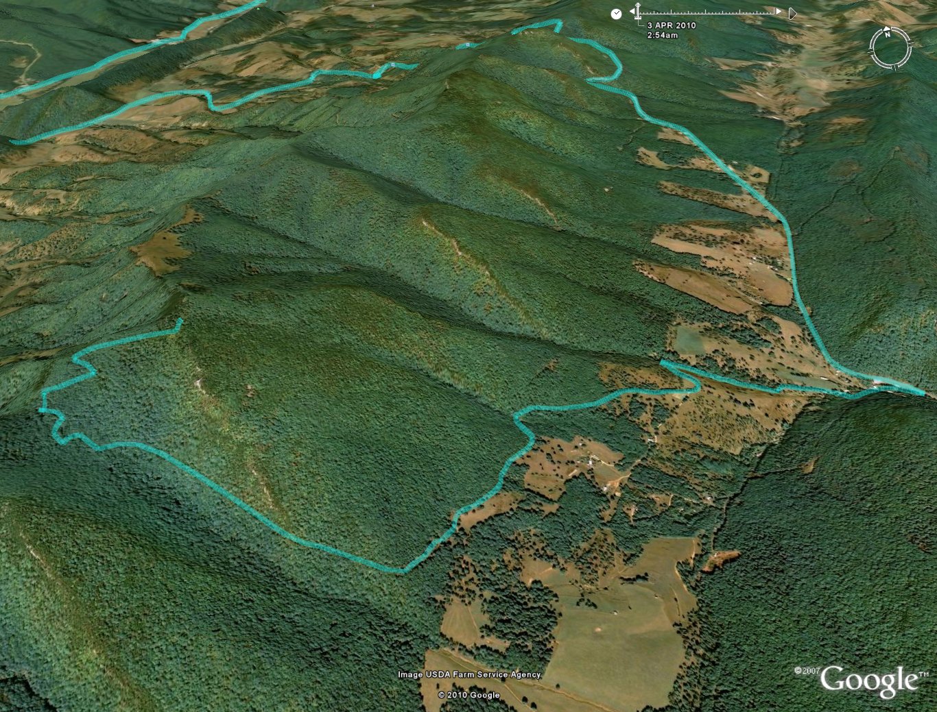
We reached the side trail that
leads to the summit of Pike Knob and drove until we reached the
Nature Conservancy gate. There was little room for turning
around but would later manage that. We parked and unloaded
our gear and hiked the rest of the way to a spot we chose to
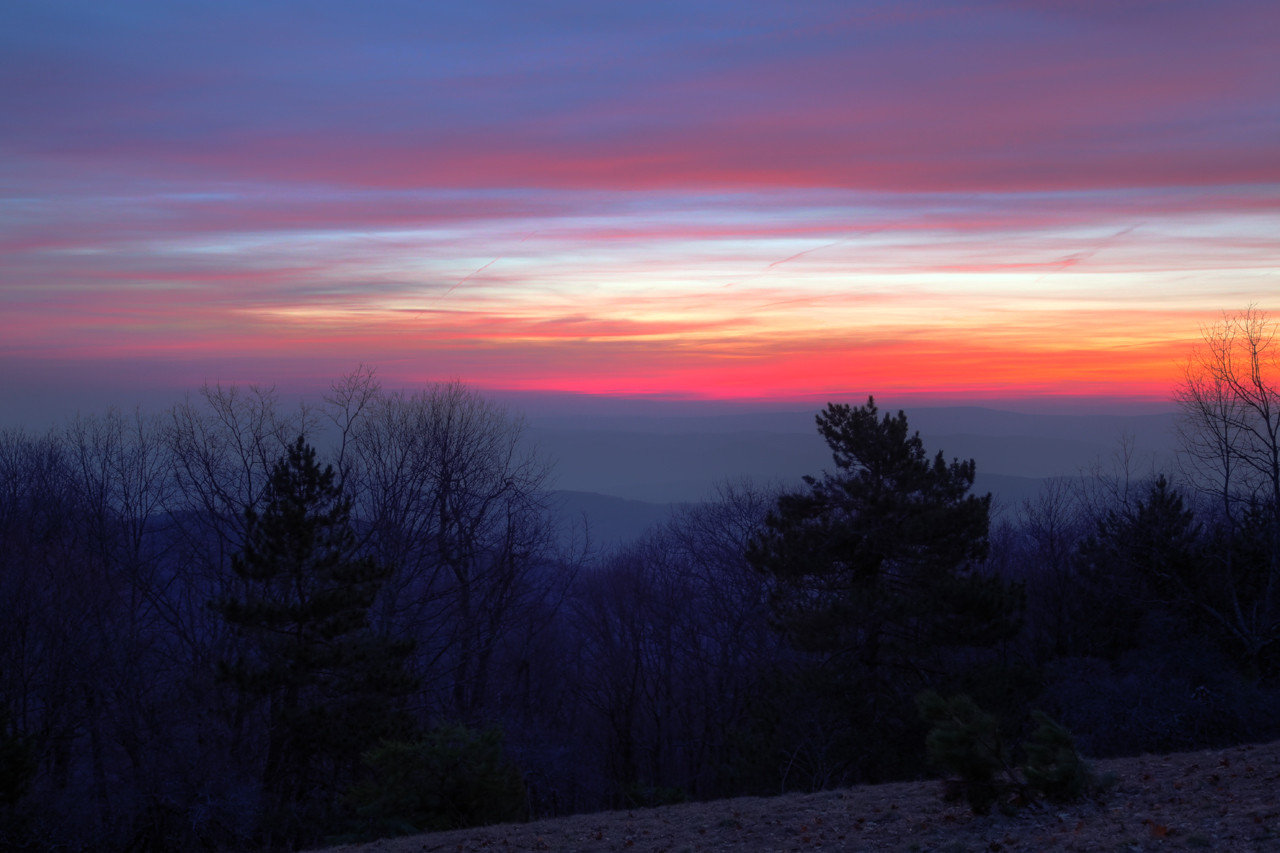
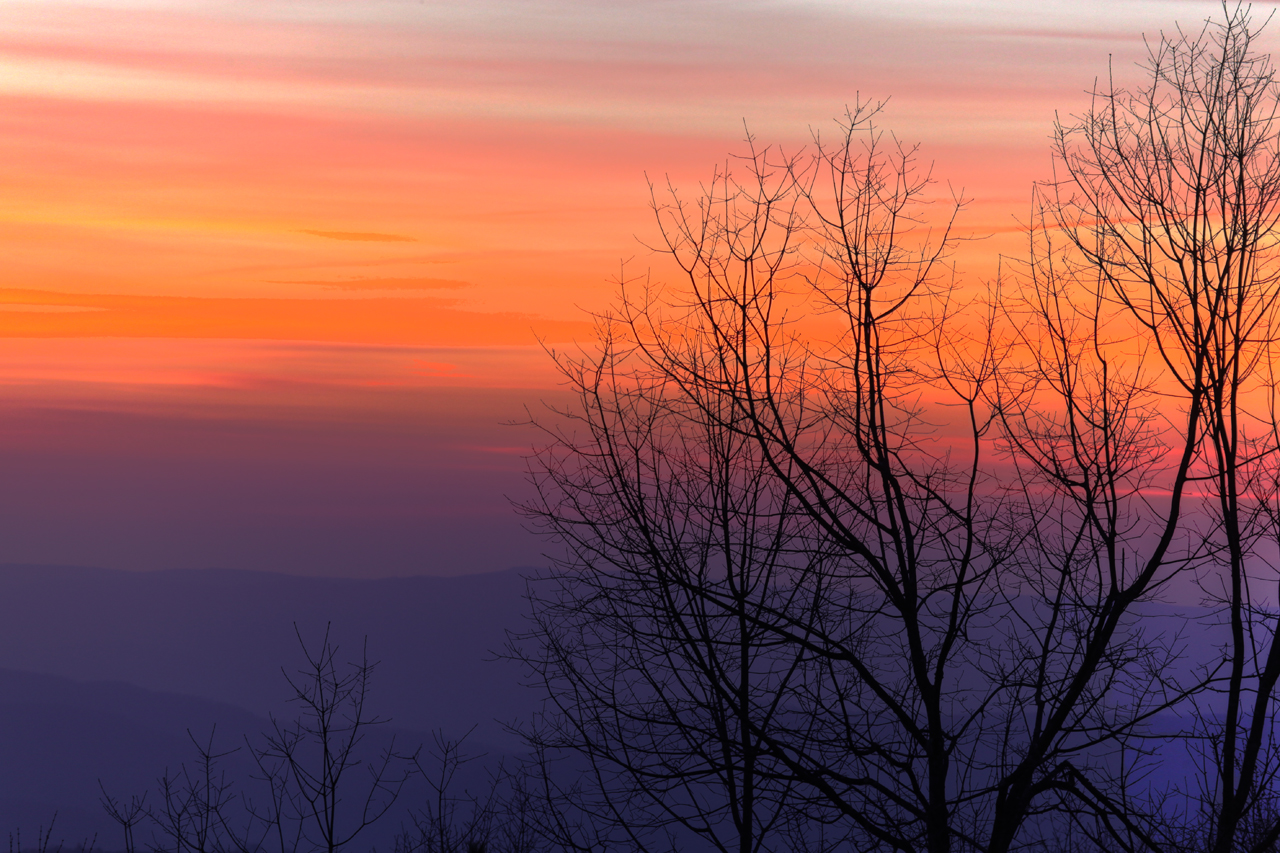
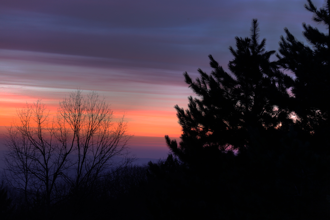
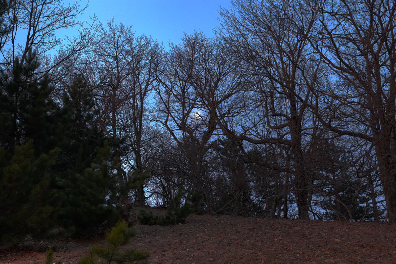
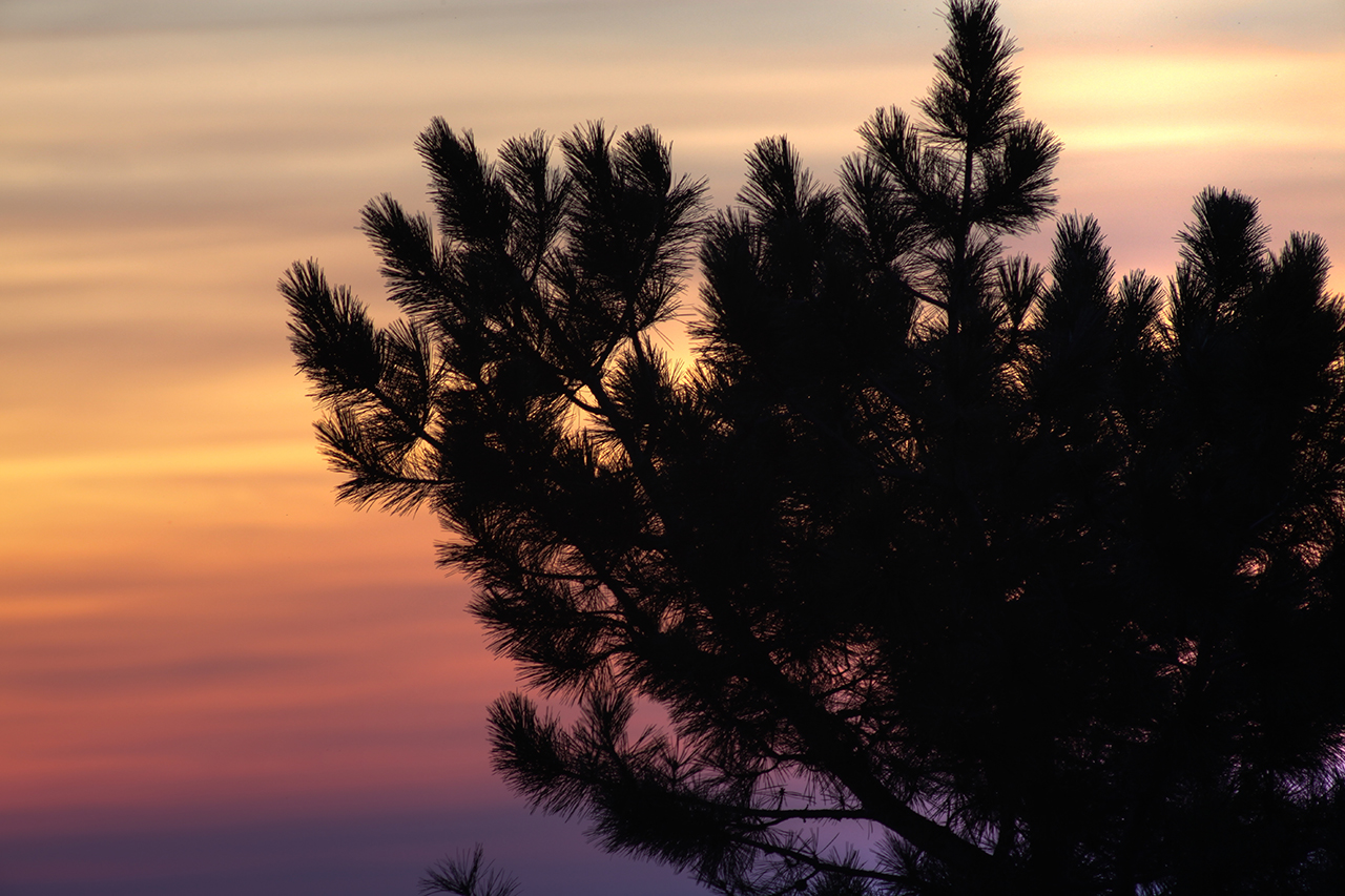
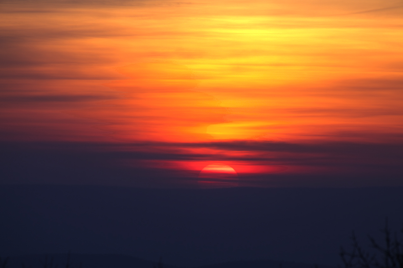
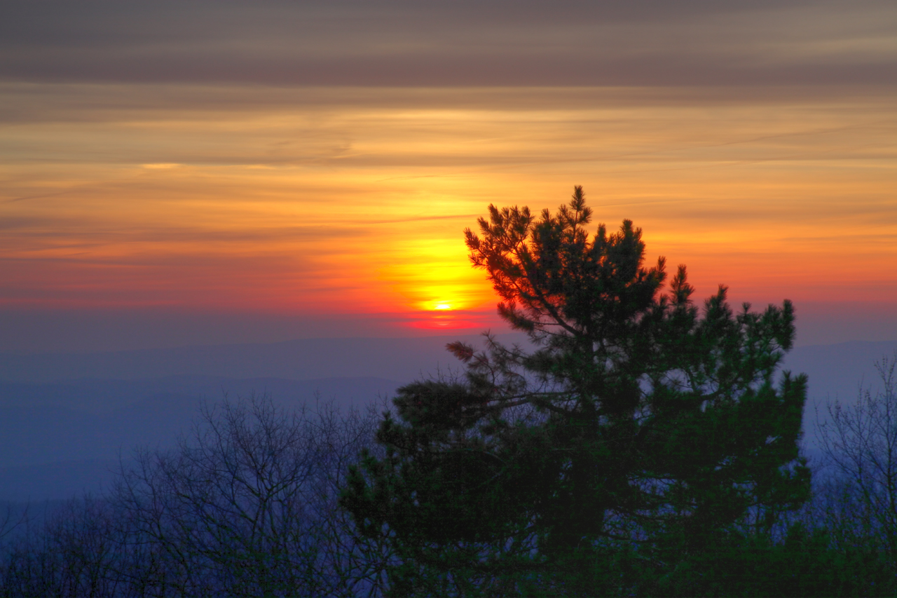
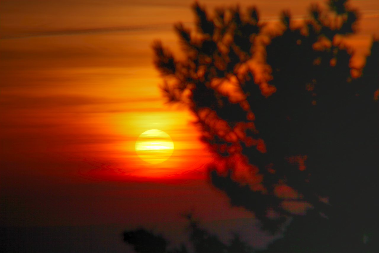
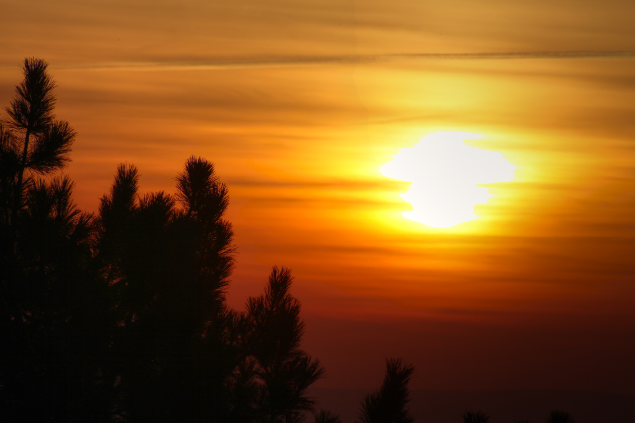
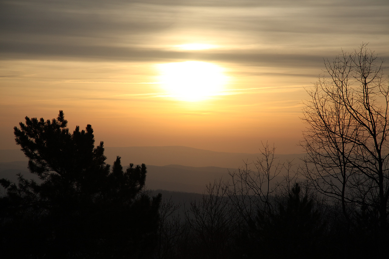
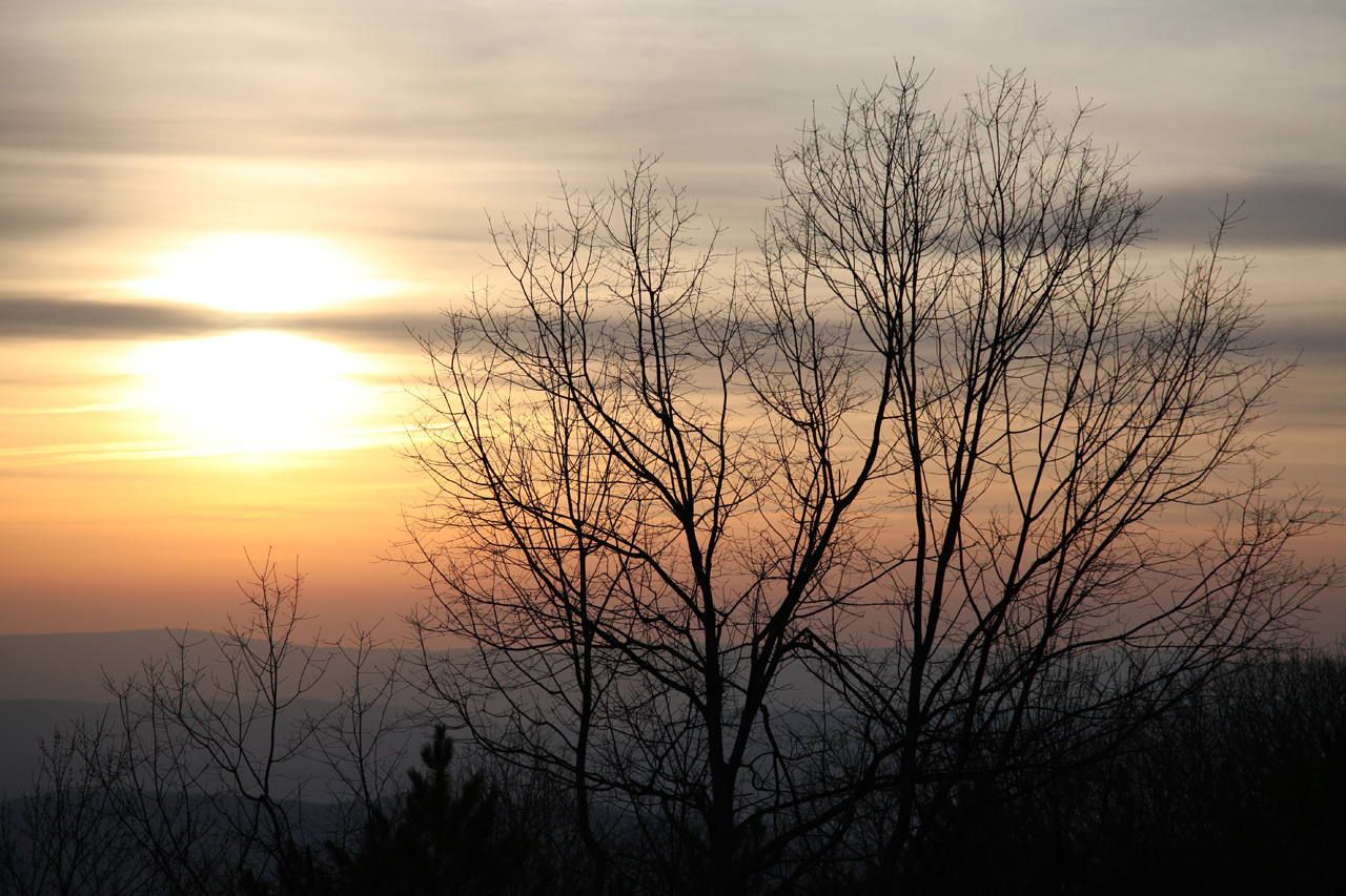
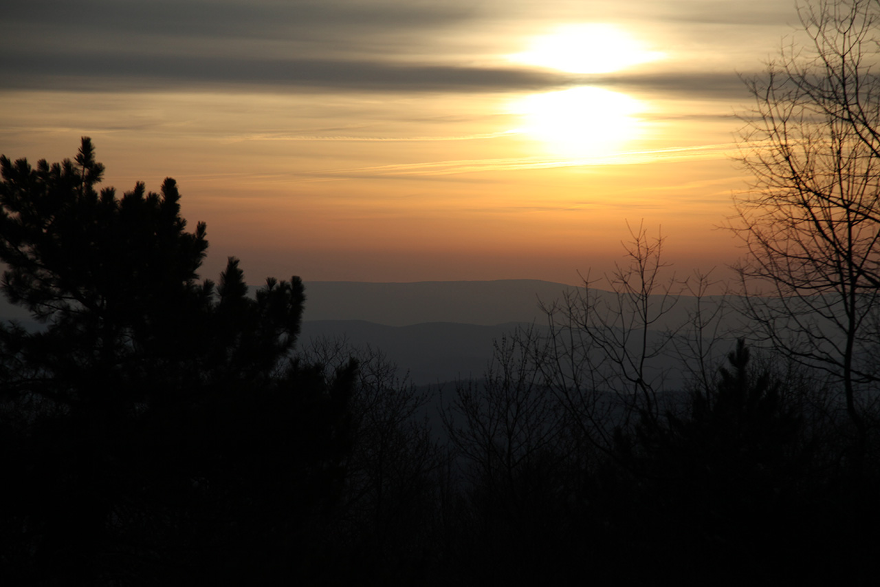
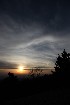
make some sunrise images. The timing was great. It
was just dawn when we got set up and we were able to make lots
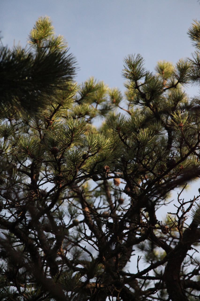
of images that alone made the trip worthwhile.


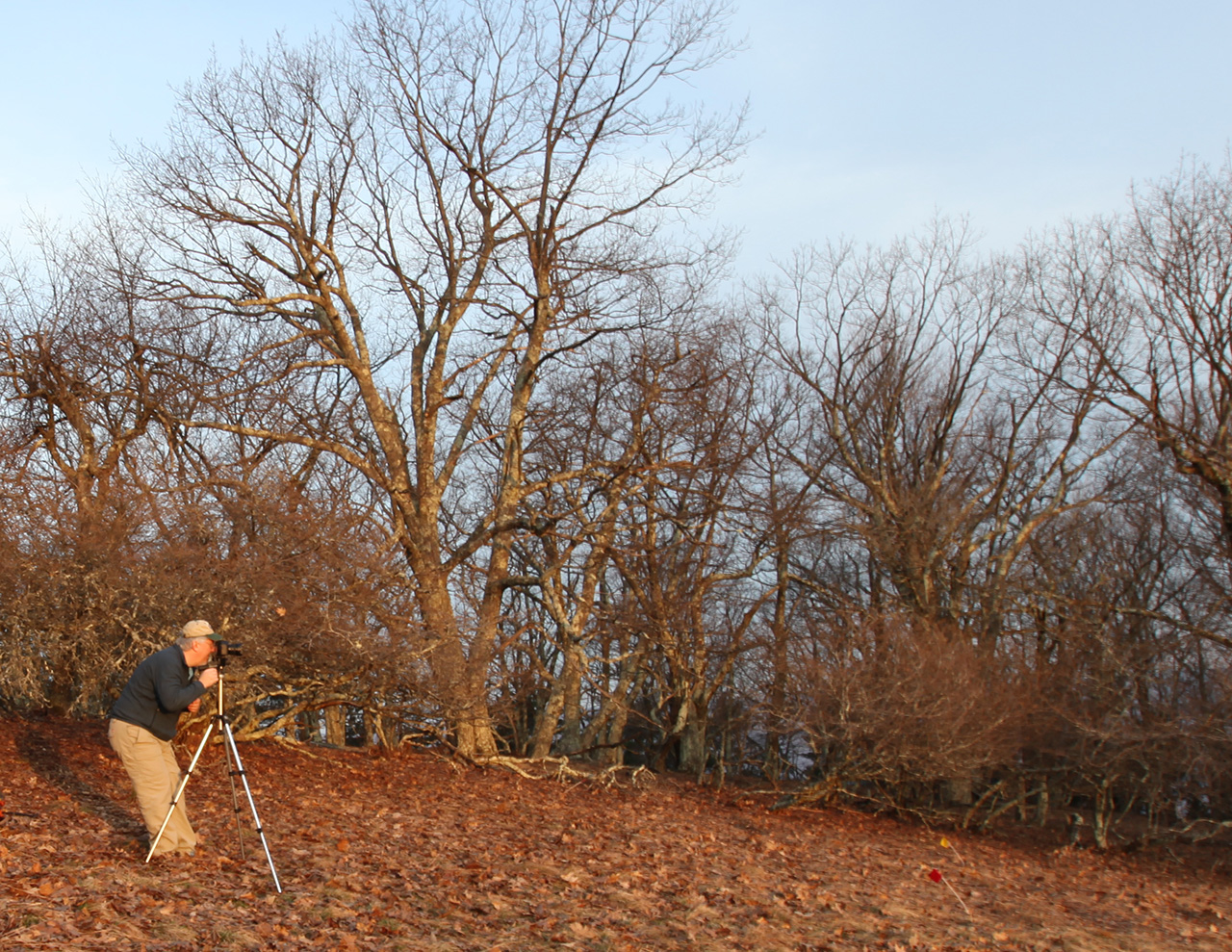

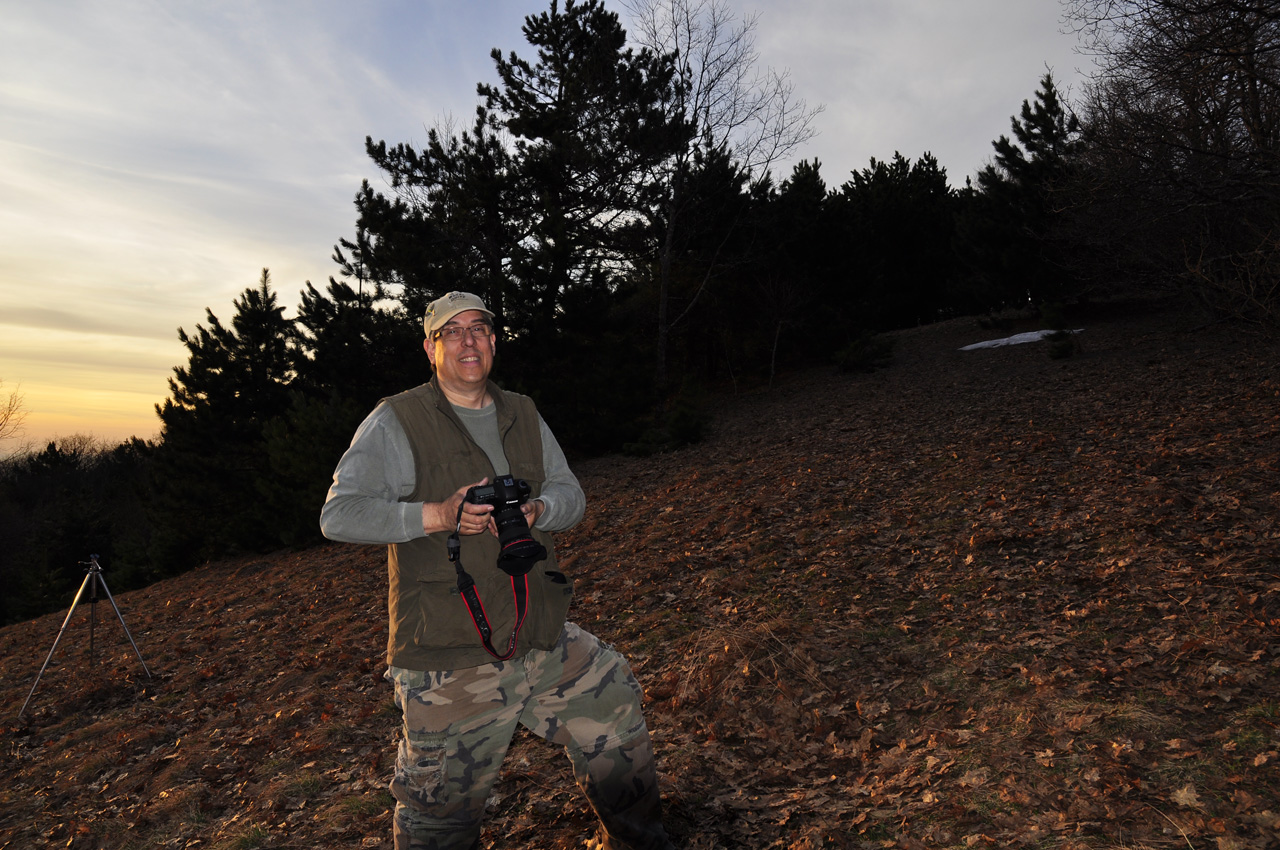
 

With the sun well up, and with
plenty of images recorded, we turned our attention to the ruins
of the old Fire Tower and cabin. The site is tidy but the
cabin is badly deteriorated.
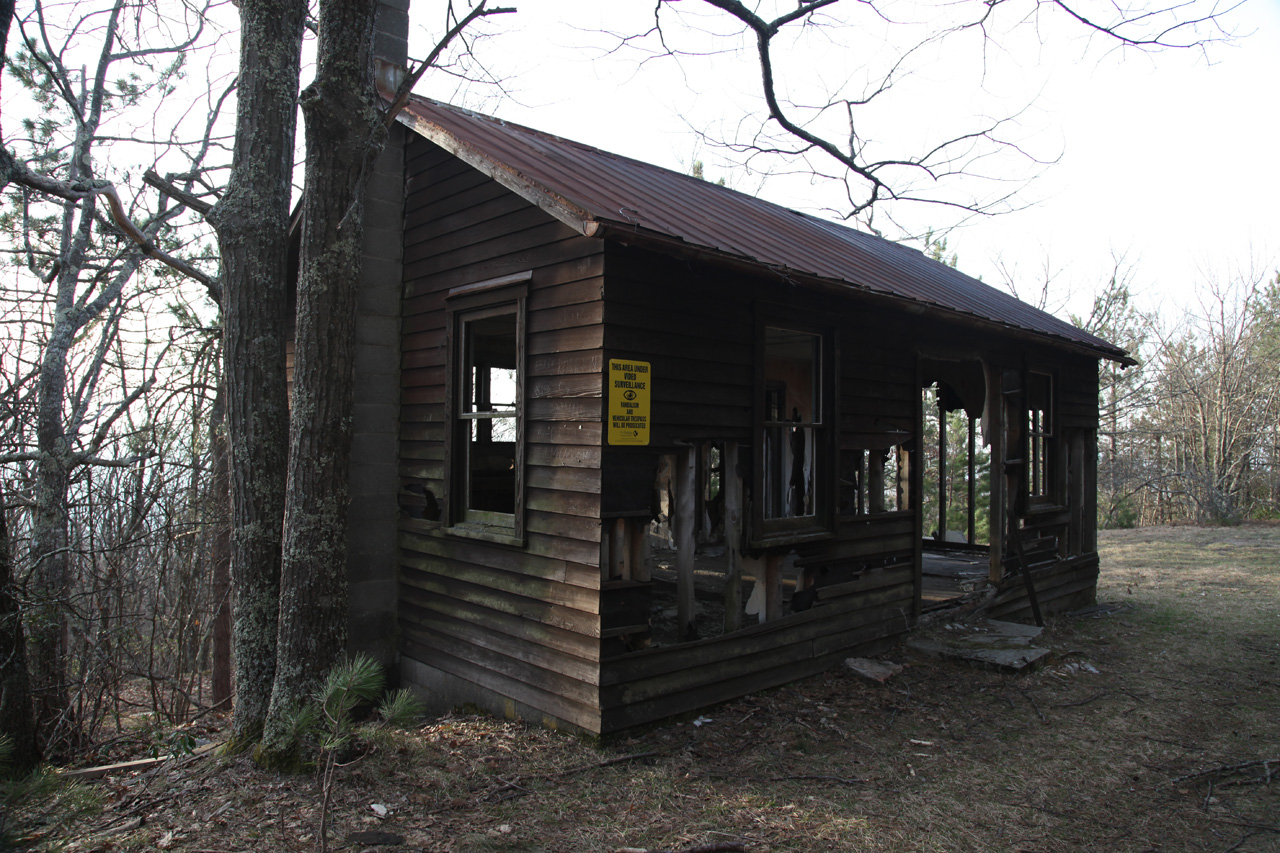
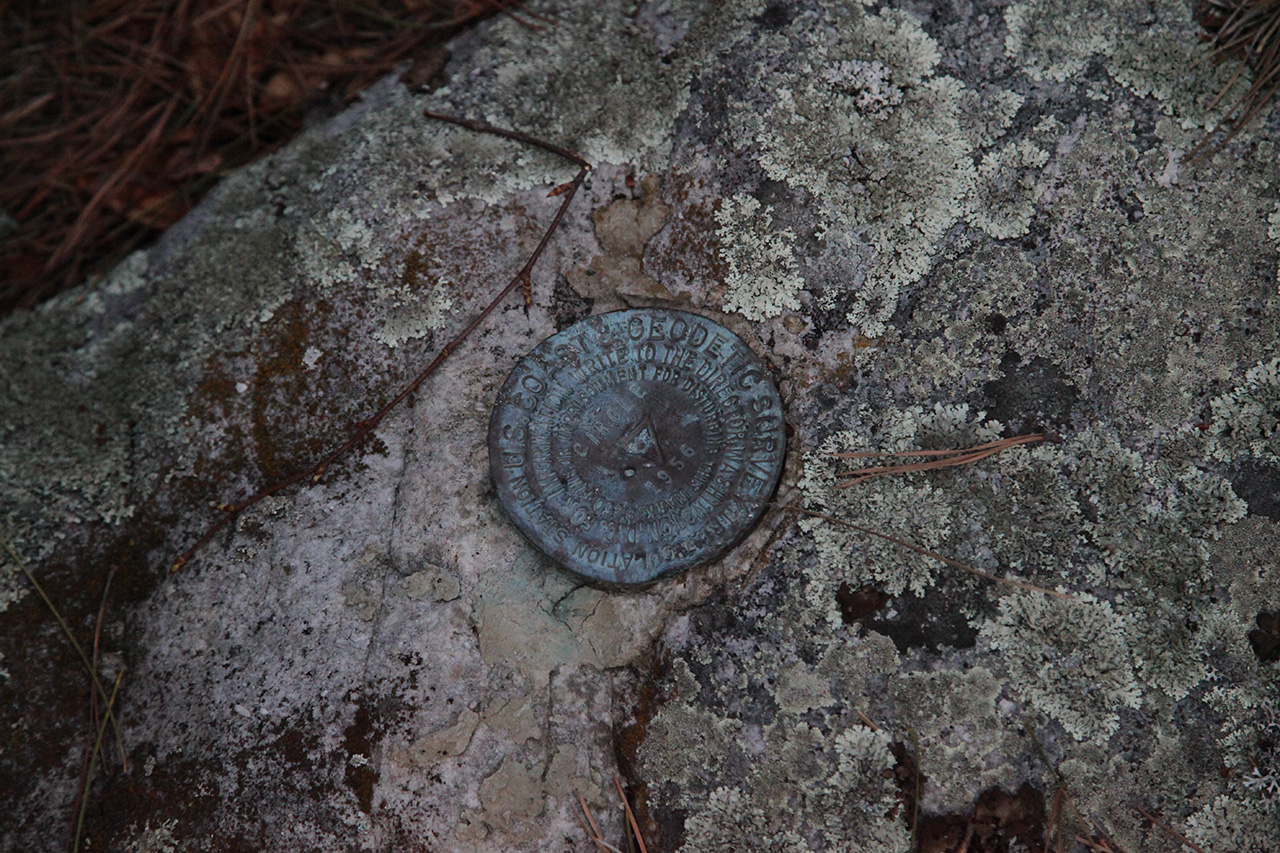
The fire tower is completely gone
except for the four footings and steps. The USGS Benchmark
is still present in good condition.

After a little looking around, we
went back to the Jeep and loaded our stuff.
|