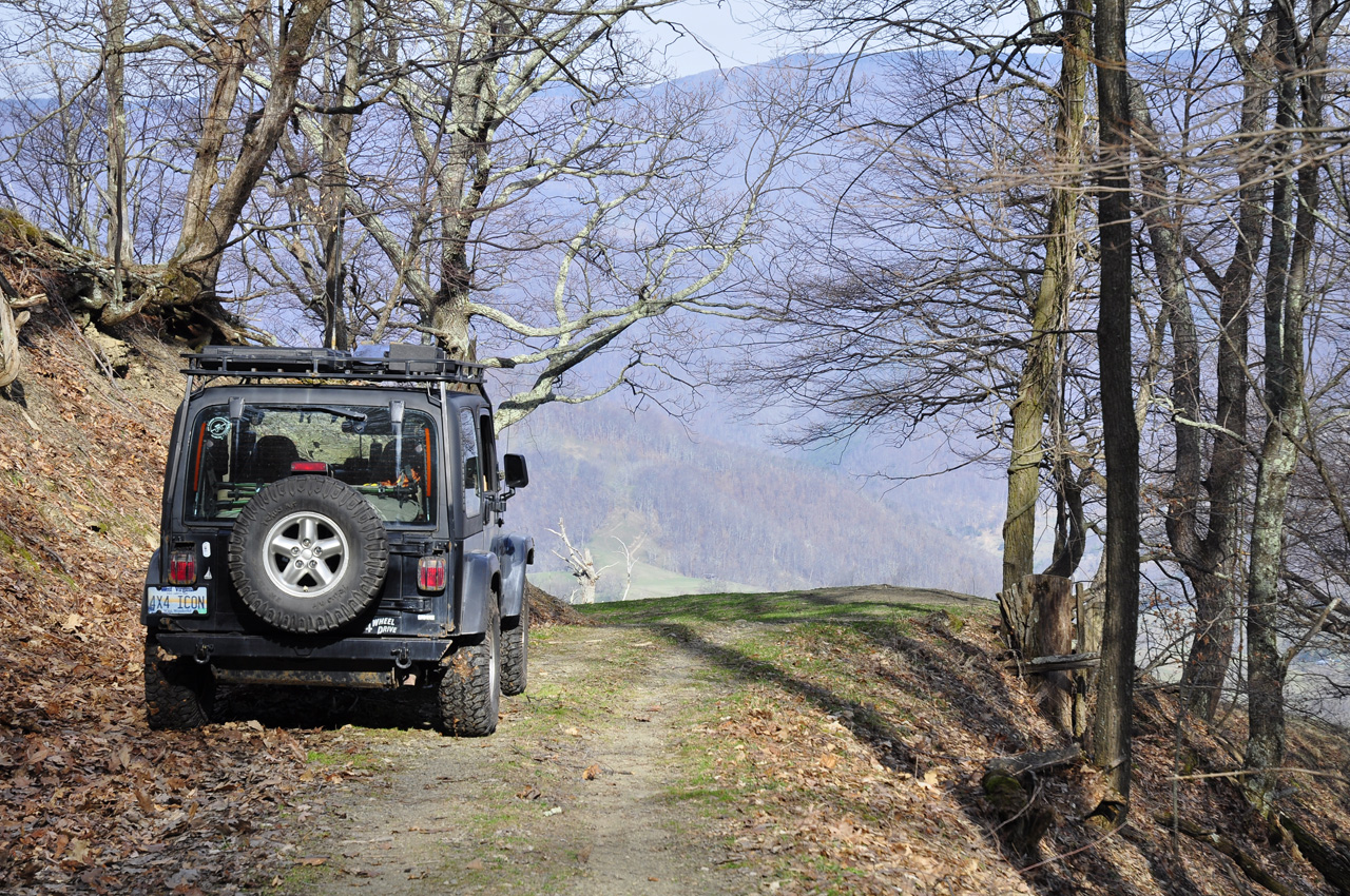
What goes up, must come down...
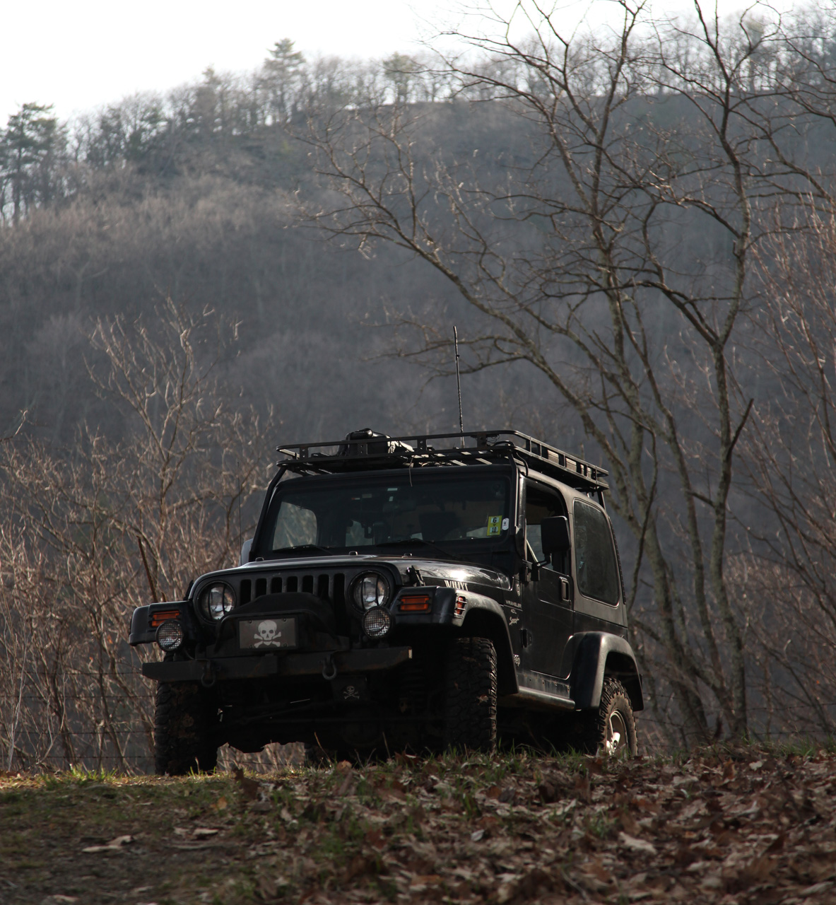
I turned the Jeep around and
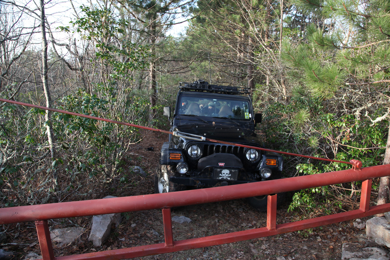
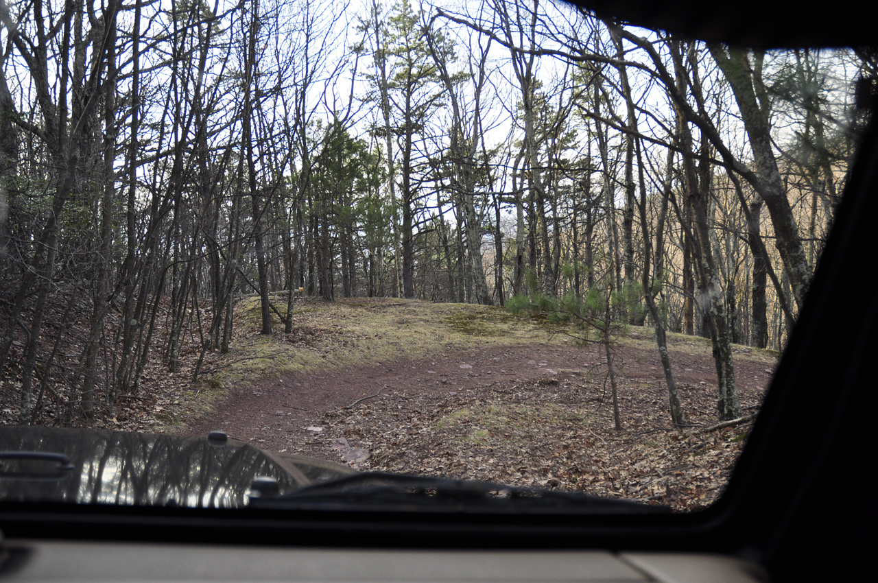
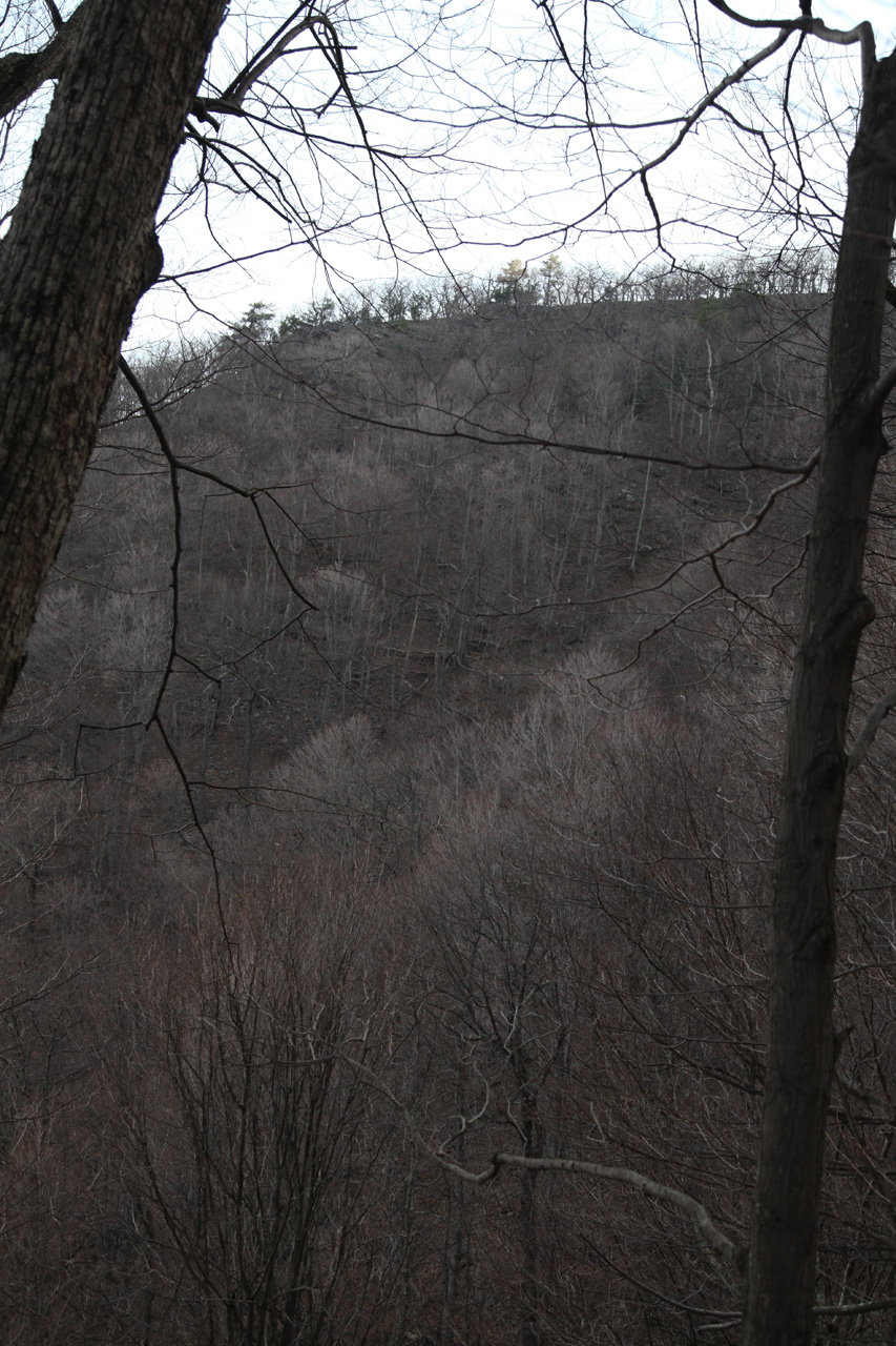
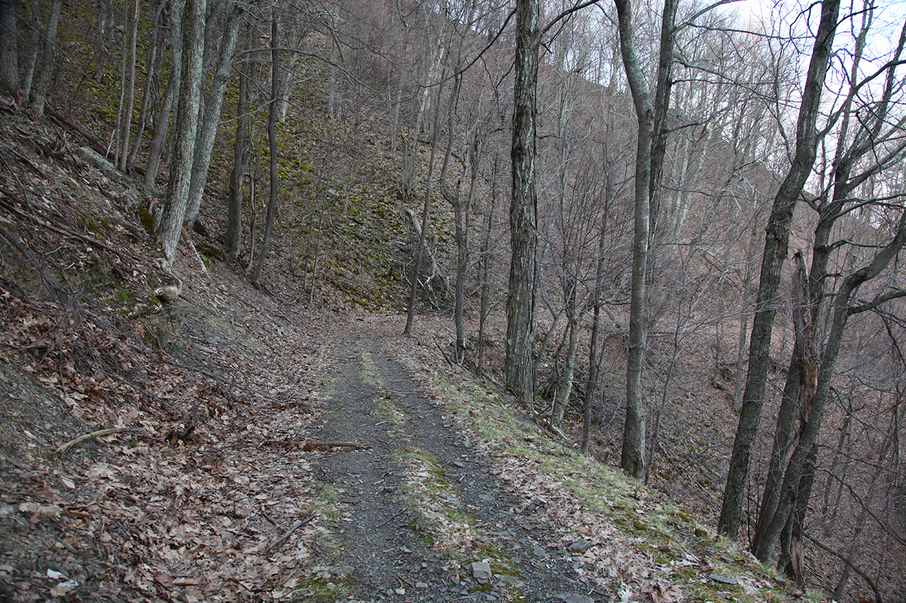
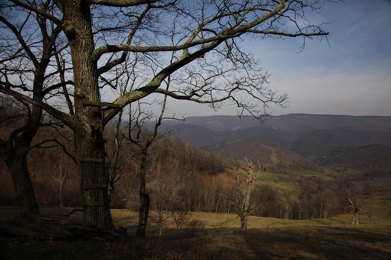
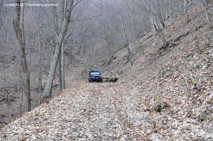
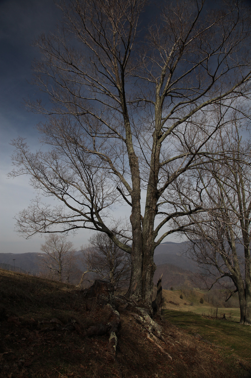
we started our descent to the main trail. Here is a
view looking up
the side trail to the gate.


We had two choices to go down
the mountain. Obviously we could return the same way
we had come up. That was more or less a known
quantity. It's a very rough stretch back down for at
least a mile before it gets less difficult. That
didn't concern me and it was certainly not a problem.
But my research showed that the trail continued on from the
gap down the other side of the mountain. It was a
little steeper and appeared to be a narrow shelf road that
had a few switchbacks. This meant that we'd be looking
at a narrow track with nothing to keep us from falling off
the edge if something went wrong. I've driven these
types of roads a number of times and was not concerned that
we'd have a problem. But it requires incredible focus
and the best conditions. Mud, loose rocks, rain, or
even minor trail damage can be catastrophic.
Additionally, once committed, it's very difficult to
backtrack because the trail is not wide enough to turn
around. If one needs to "go back", it usually means
backing up on a very narrow dangerous path, which is very
difficult and can take hours.
The trail was dry.
The road on the way up had lots of evidence that fallen
trees had been recently removed to maintain passage.
There weren't any fresh tracks but it was clear that this
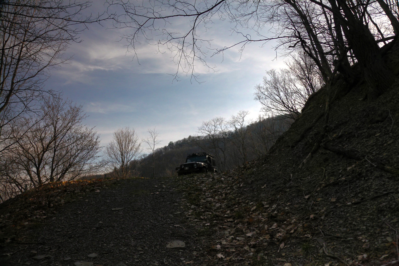
trail is used from time to time. This gave me some
confidence that since the side trail to the top did not go
through, it was likely that whatever traffic was on the main
trail was going and coming from the other side of the
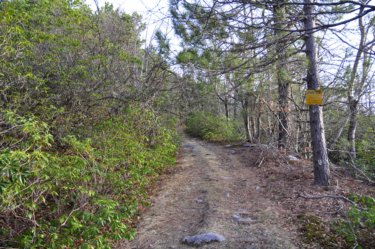
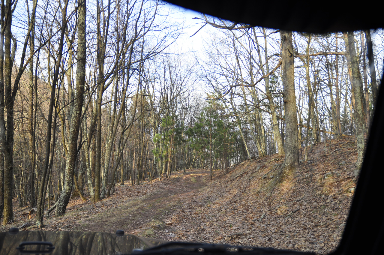
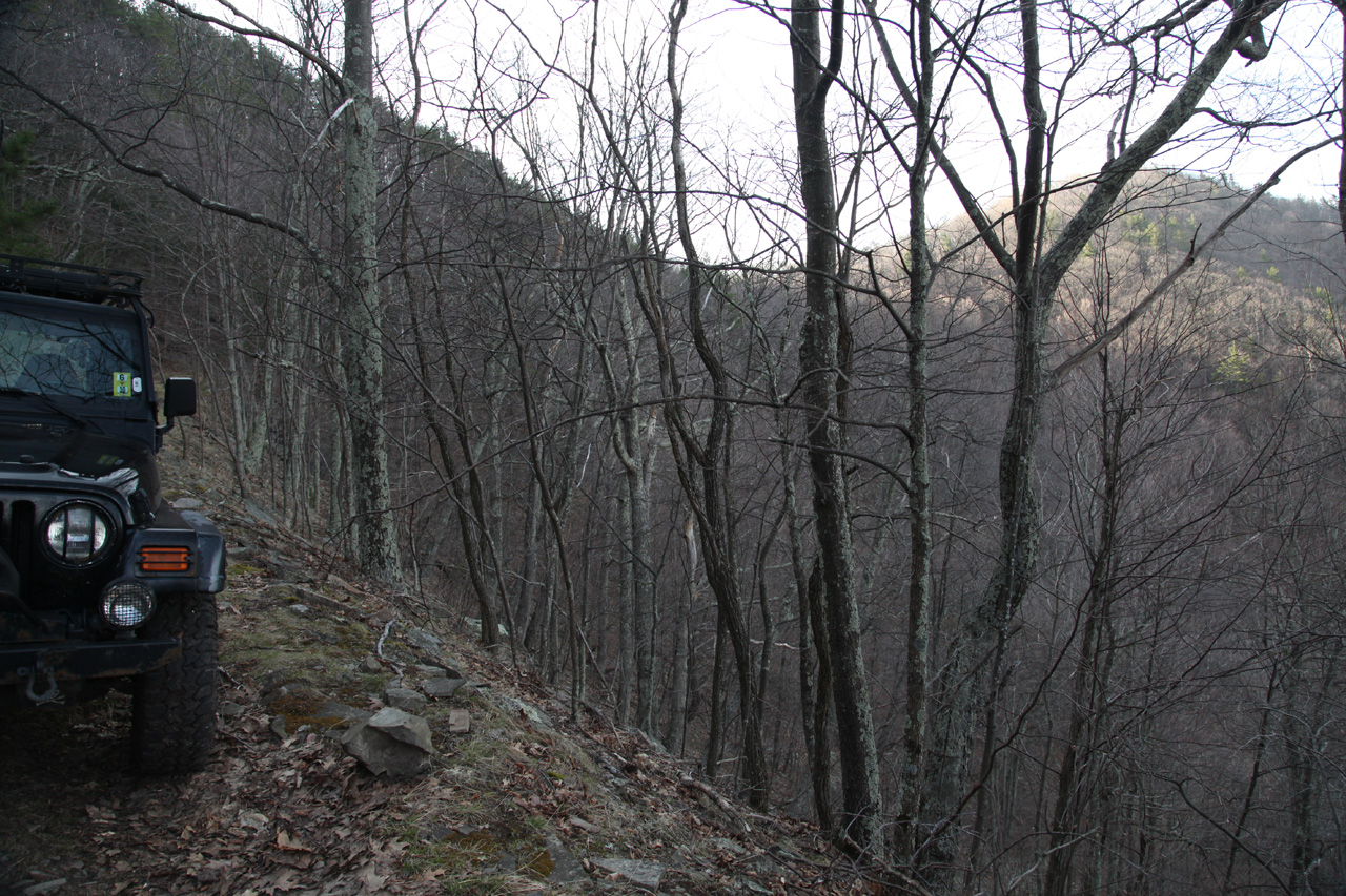
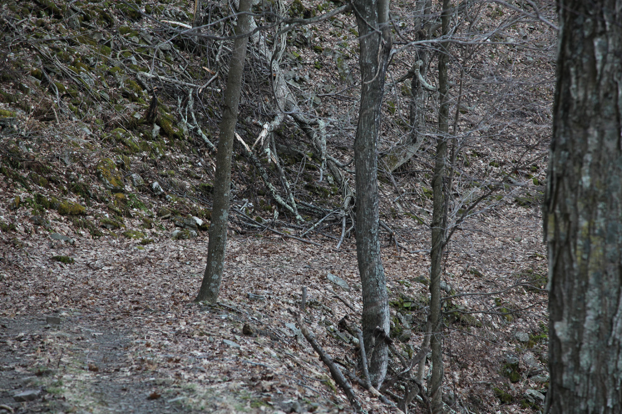
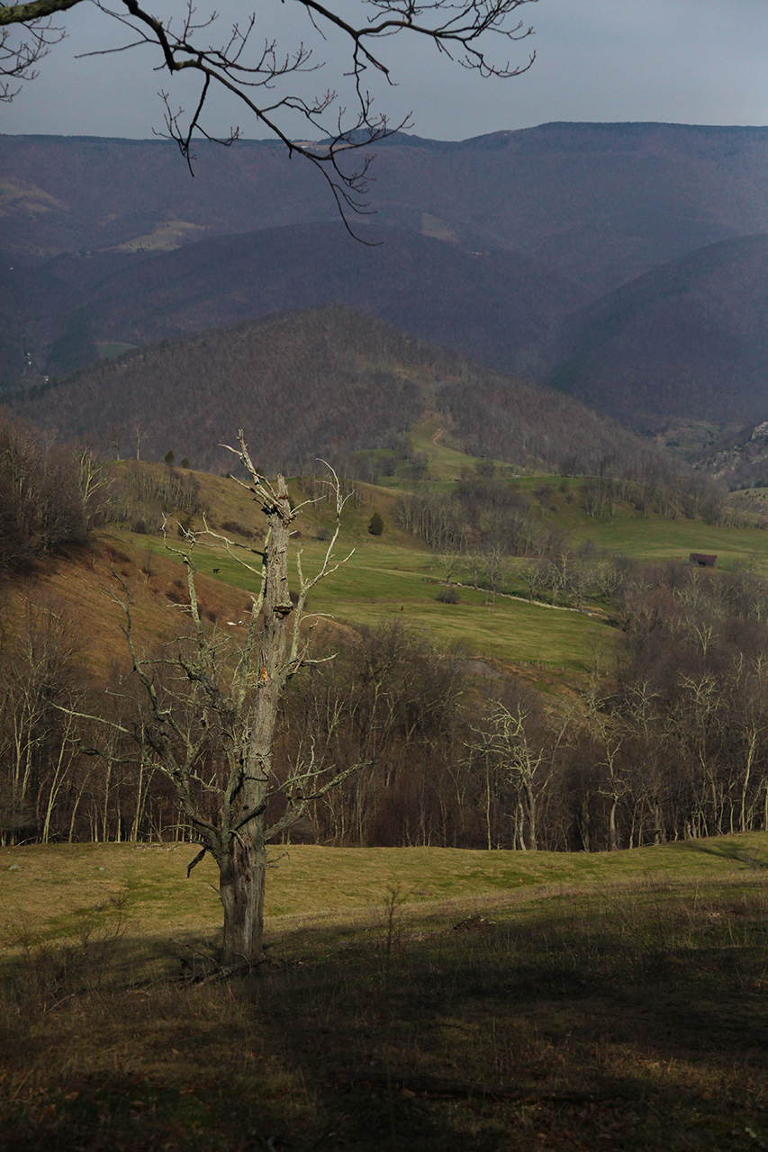
mountain. Here's a view of one of the corners
descending to the gap from the side trail.
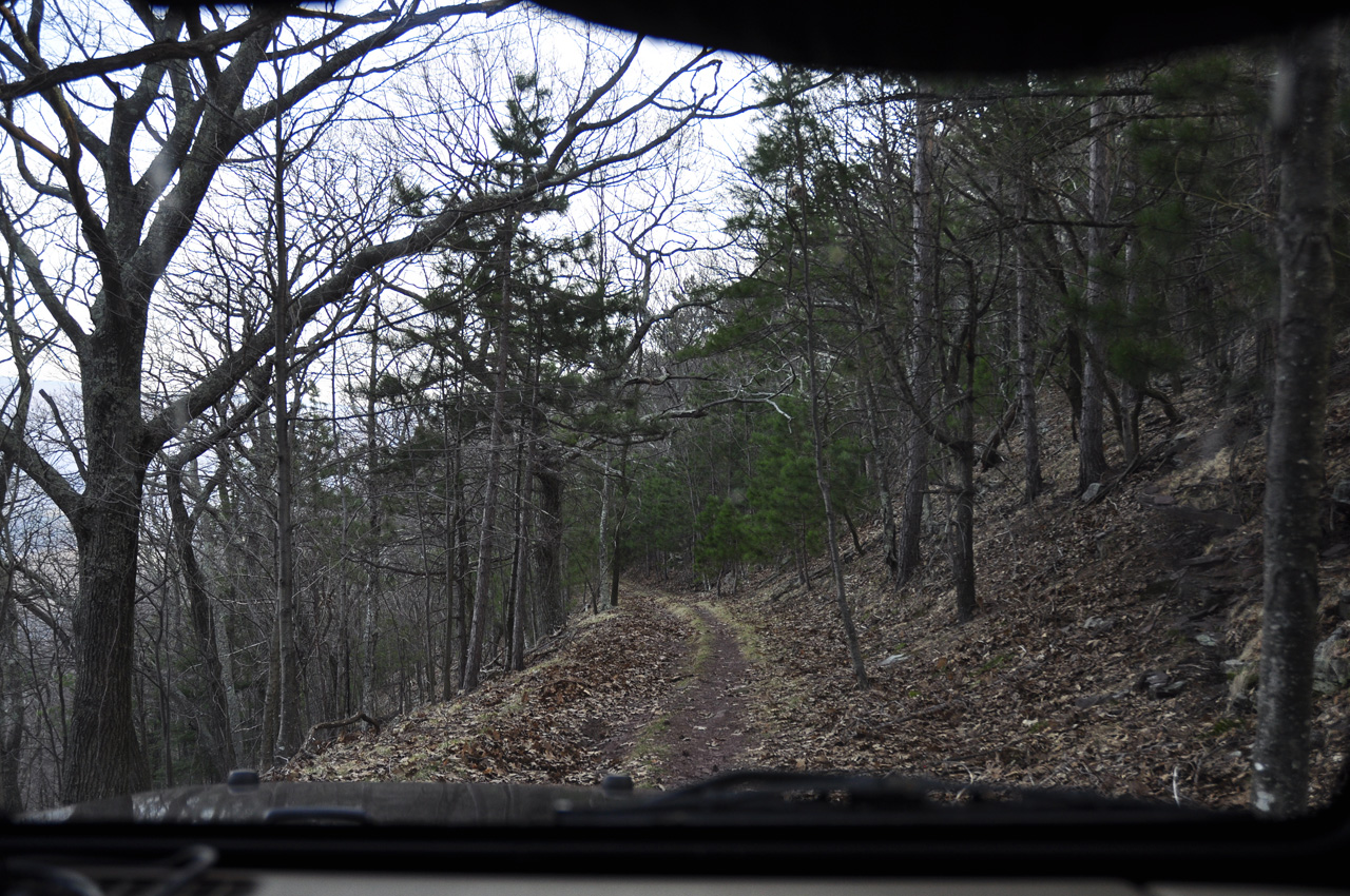
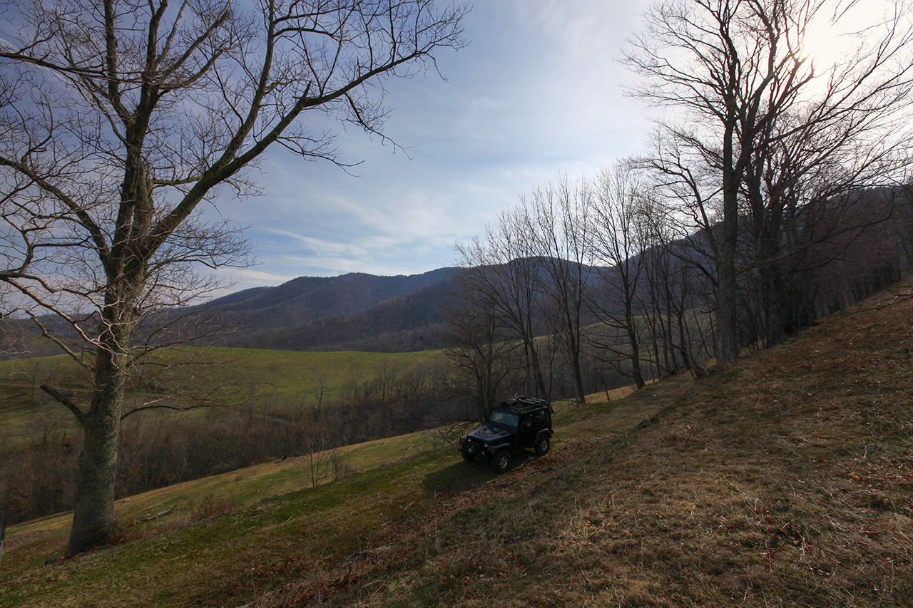
When we got back down to the
main trail I asked Mike if he had a preference and he went
along with exploring the unknown by going down the other
side of the mountain. So I turned that way and headed
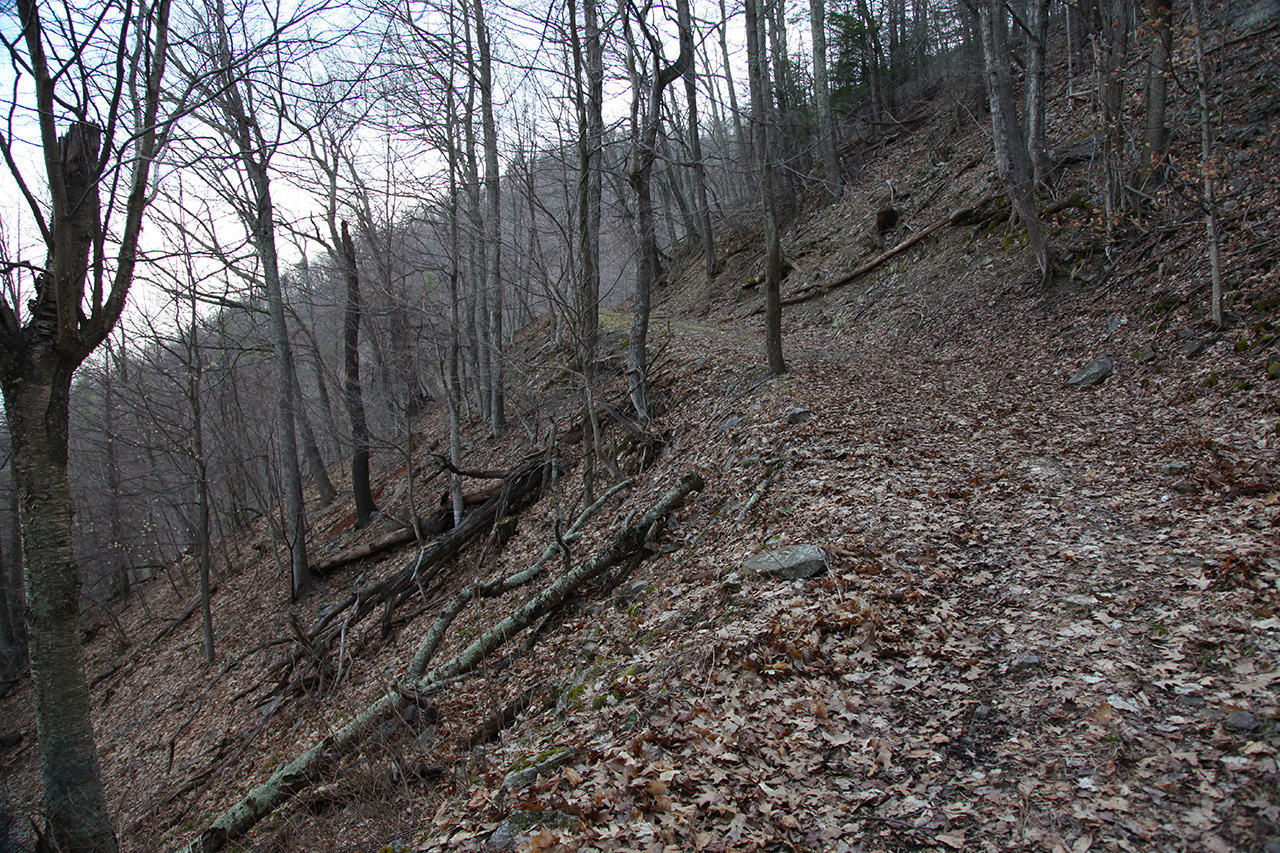
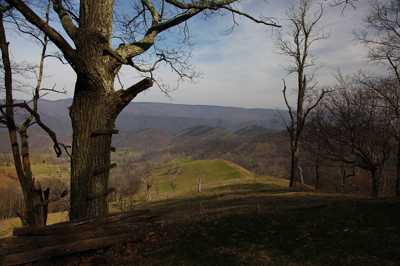
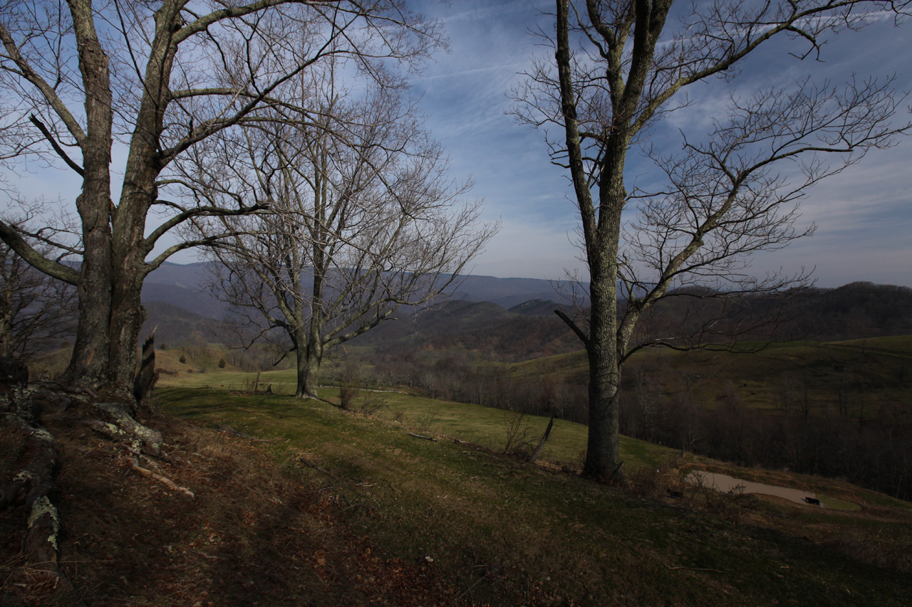
down. Very soon we reached the point where the trail
breaks out onto the side of the ridge and makes a gradual
descent to where it eventually needs to switch back and go
back in the other direction, zigging and zagging down the
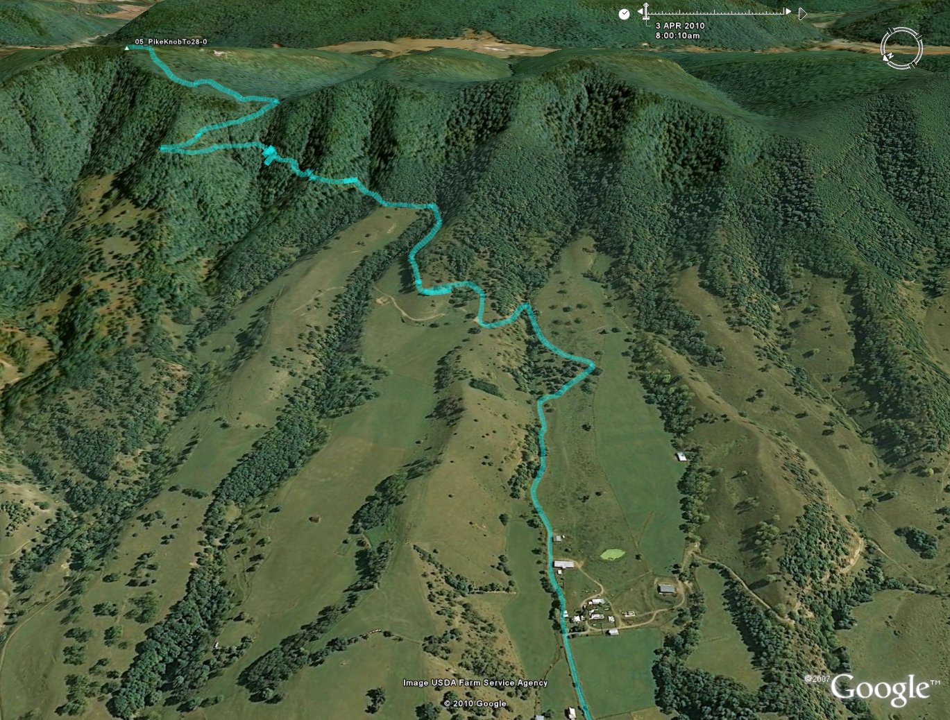
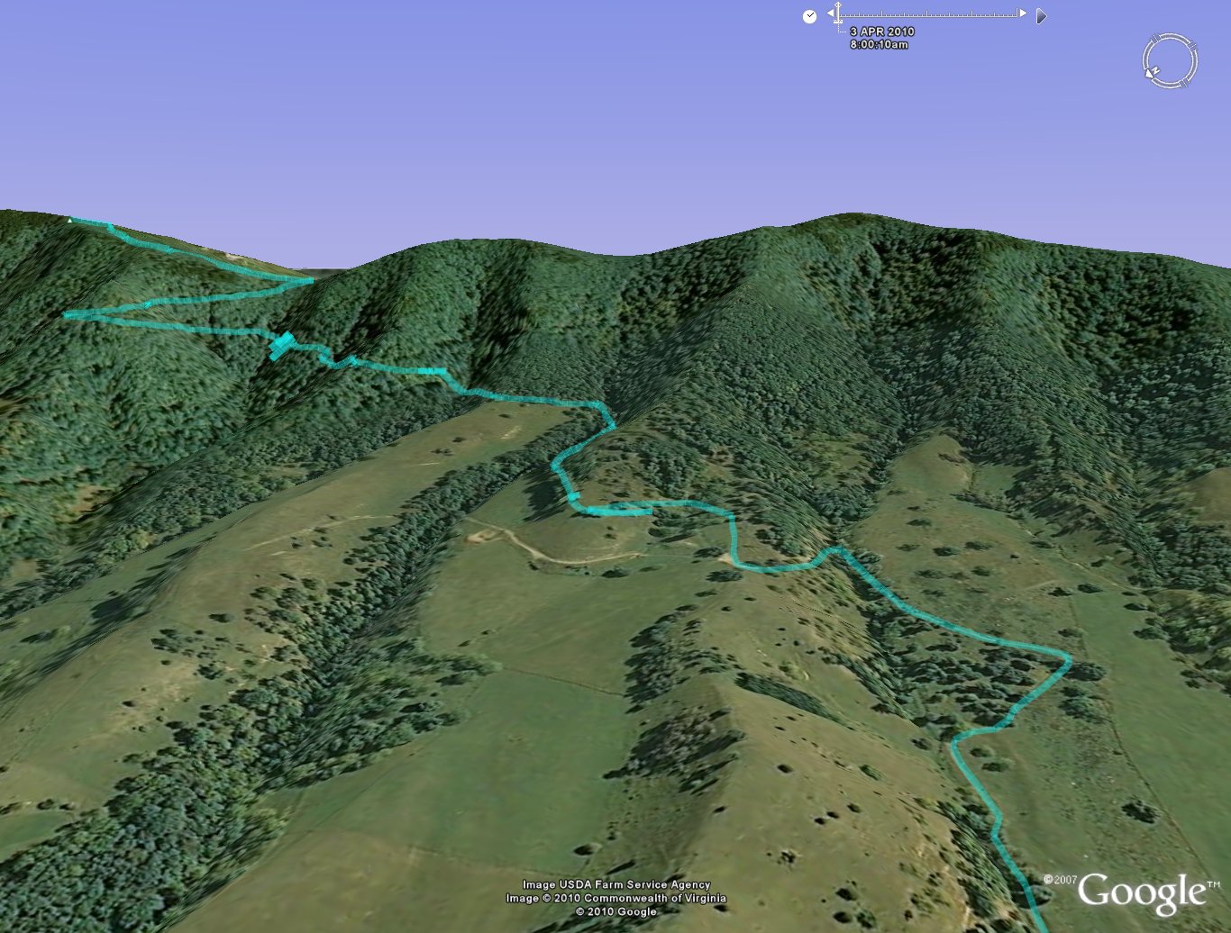
side of the mountain. Here's a view of our GPS track
superimposed on the Google Earth view of this location.
This view is looking more or less straight down from
overhead. As can be seen, this is not kid stuff...
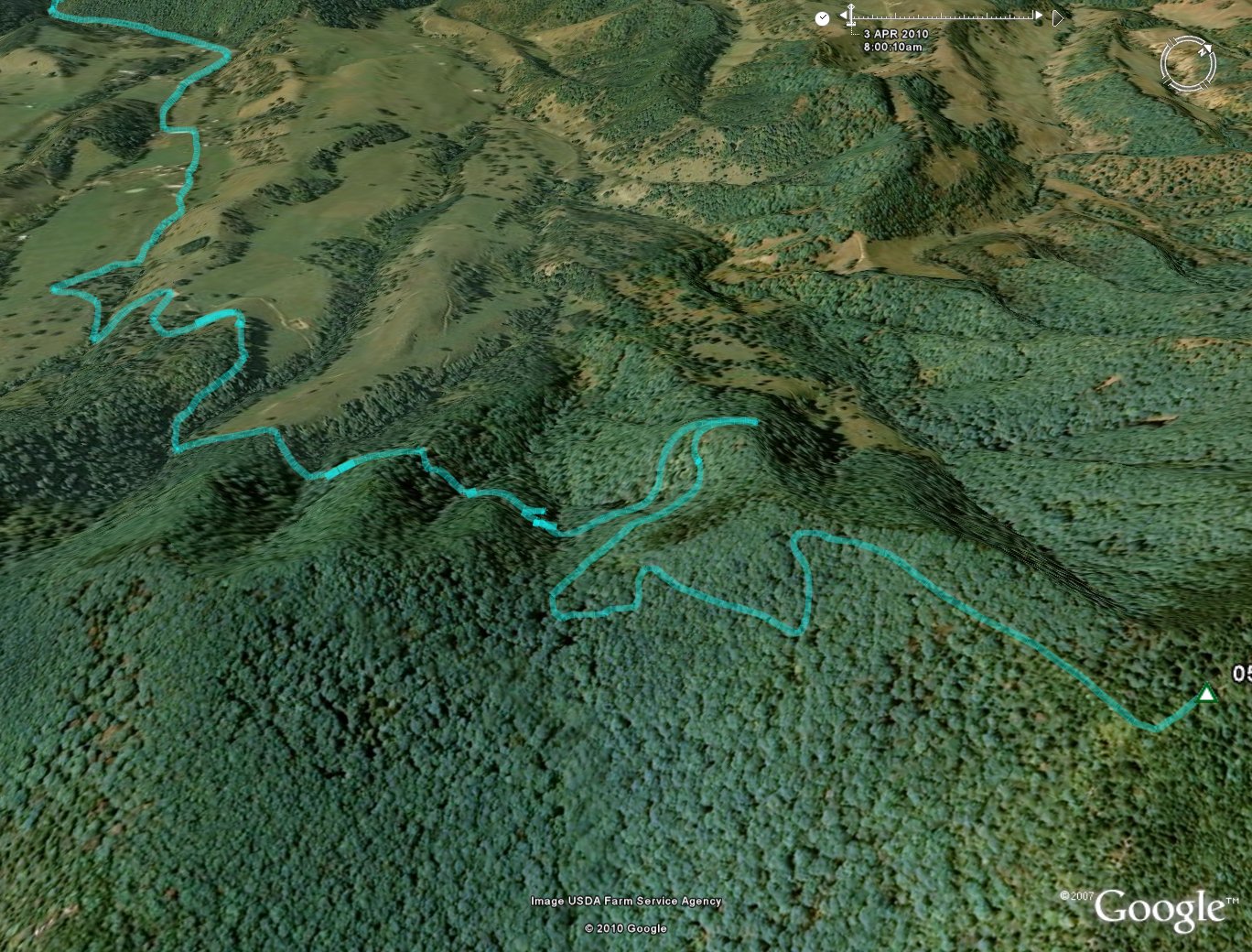
The first part of the descent
shown above is the side trail leading down from the knob to
the "gap", where the GPS track coming in from the
triangle mark at the right after two zig-zags, turns up, and
to the right, and goes down the side of the mountain...
   
  
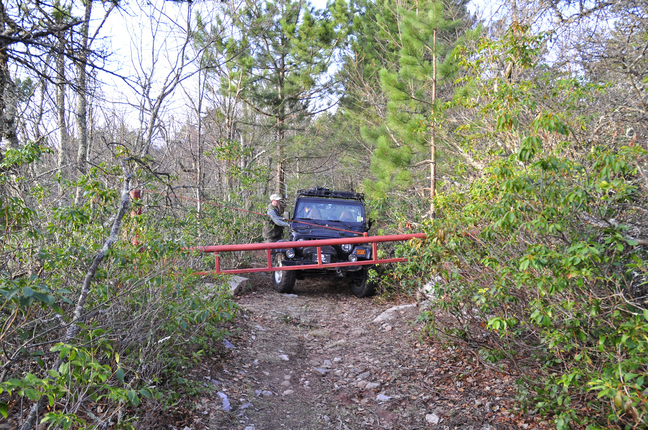
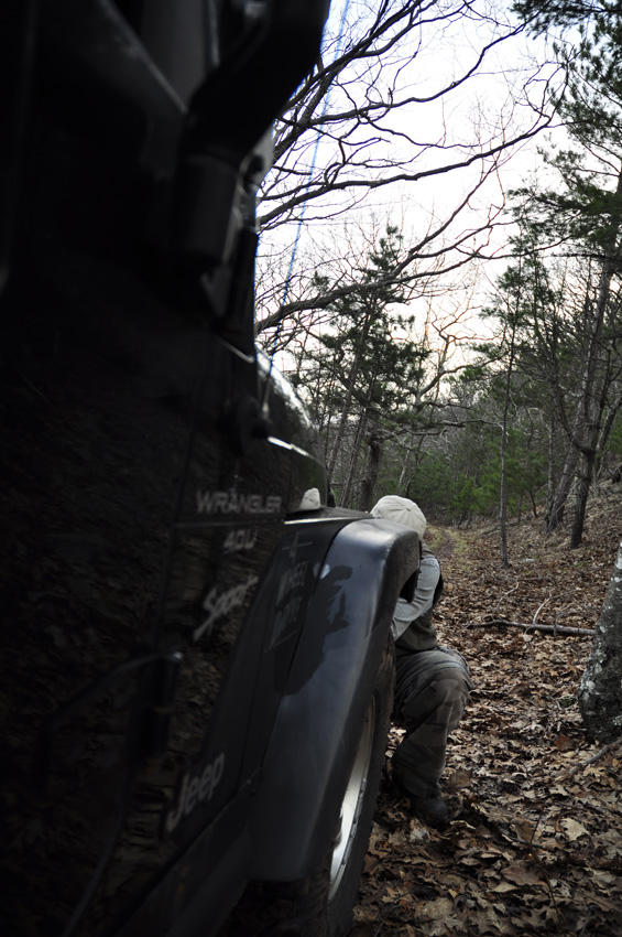
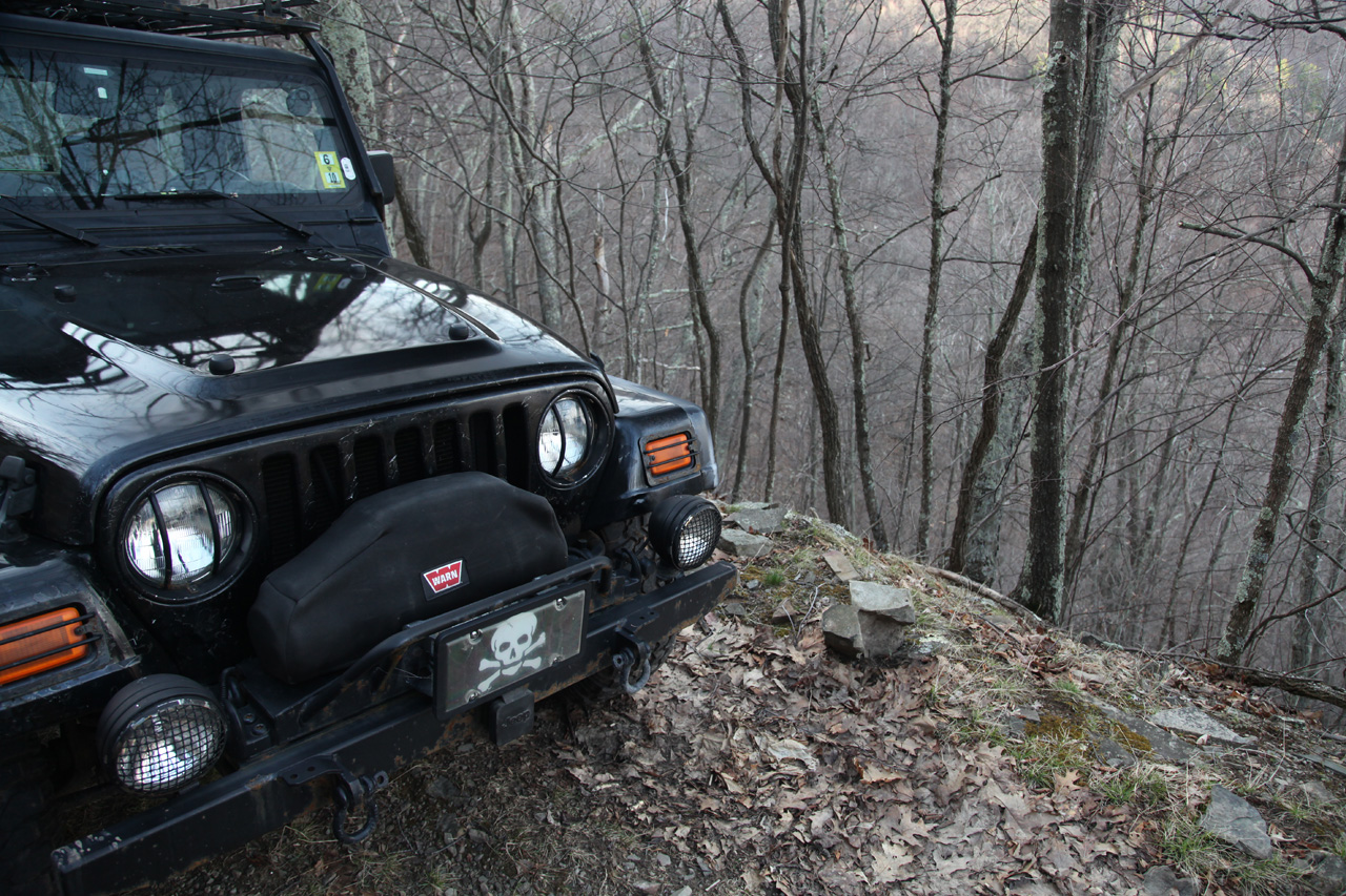
Mike asked me how I liked my
kidneys. I had not disconnected the sway bar. I
probably should have earlier, before we started up the
mountain but the combination of the dark and the desire not
to attract attention had kept me from doing so. Since
I like my kidneys, I got out and
disconnected the sway bar.
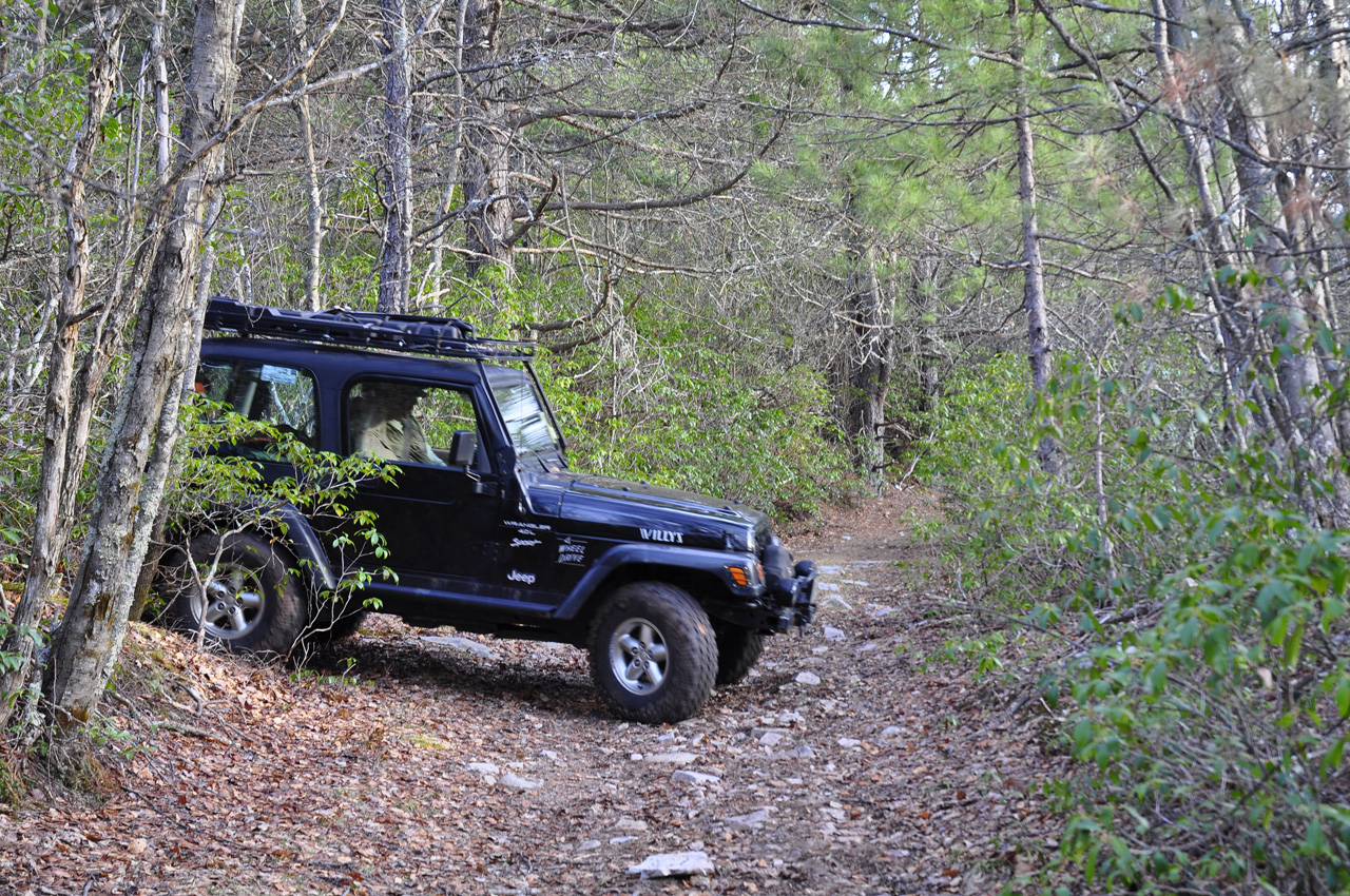
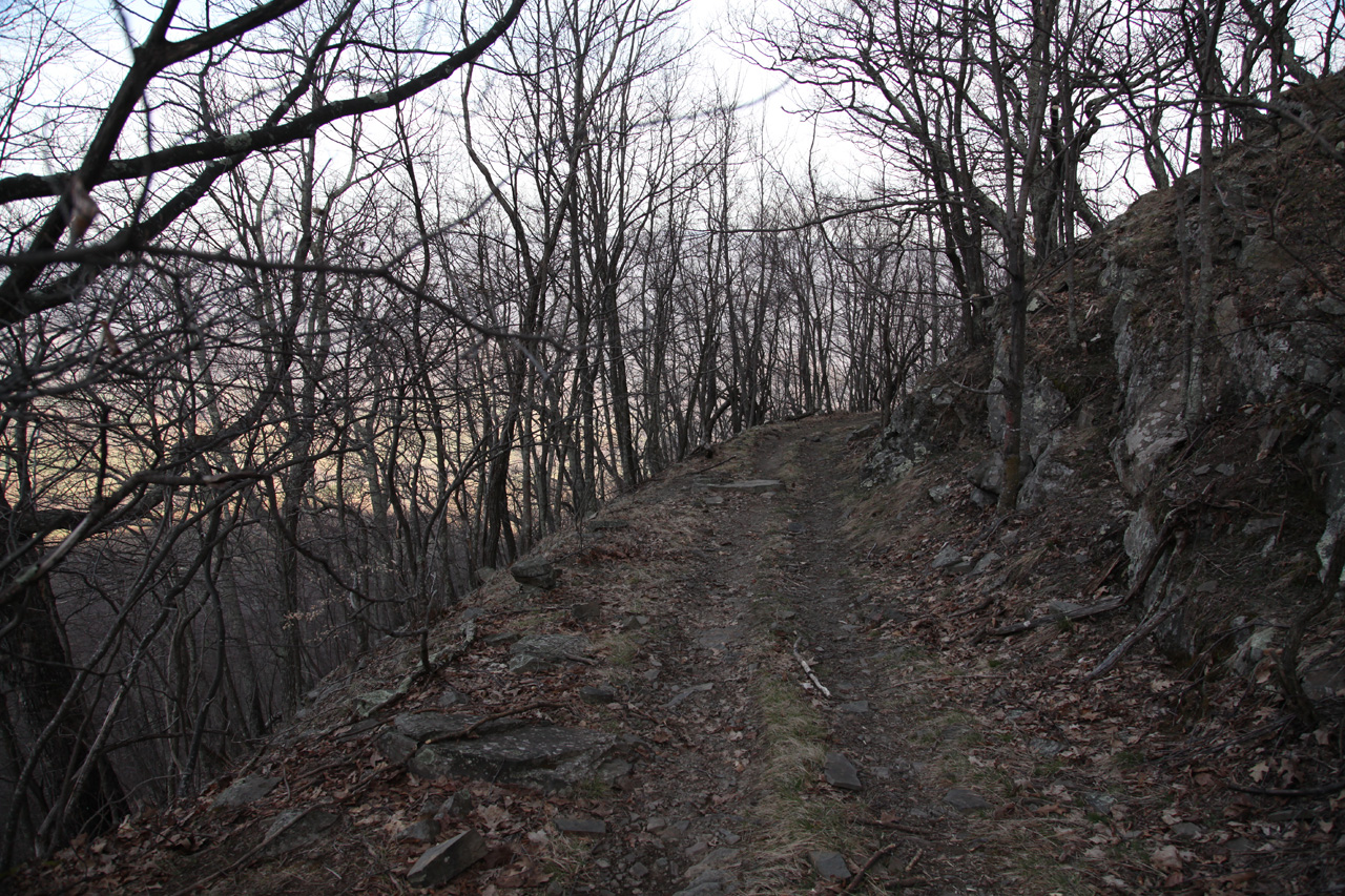
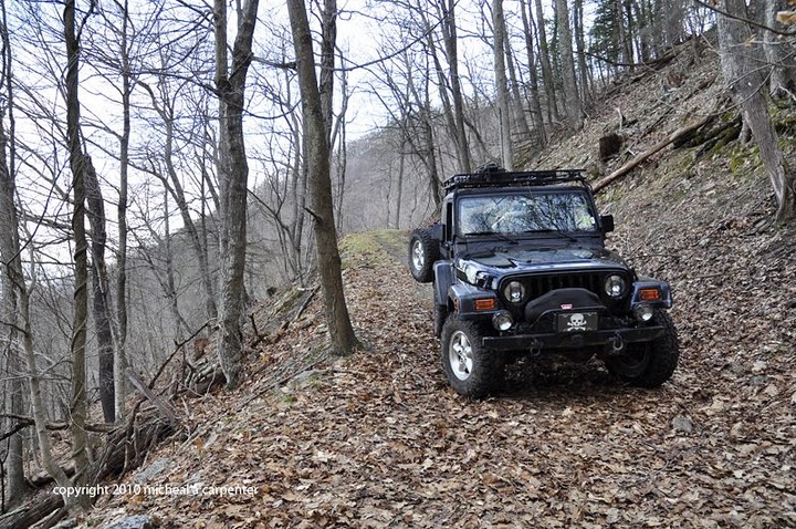
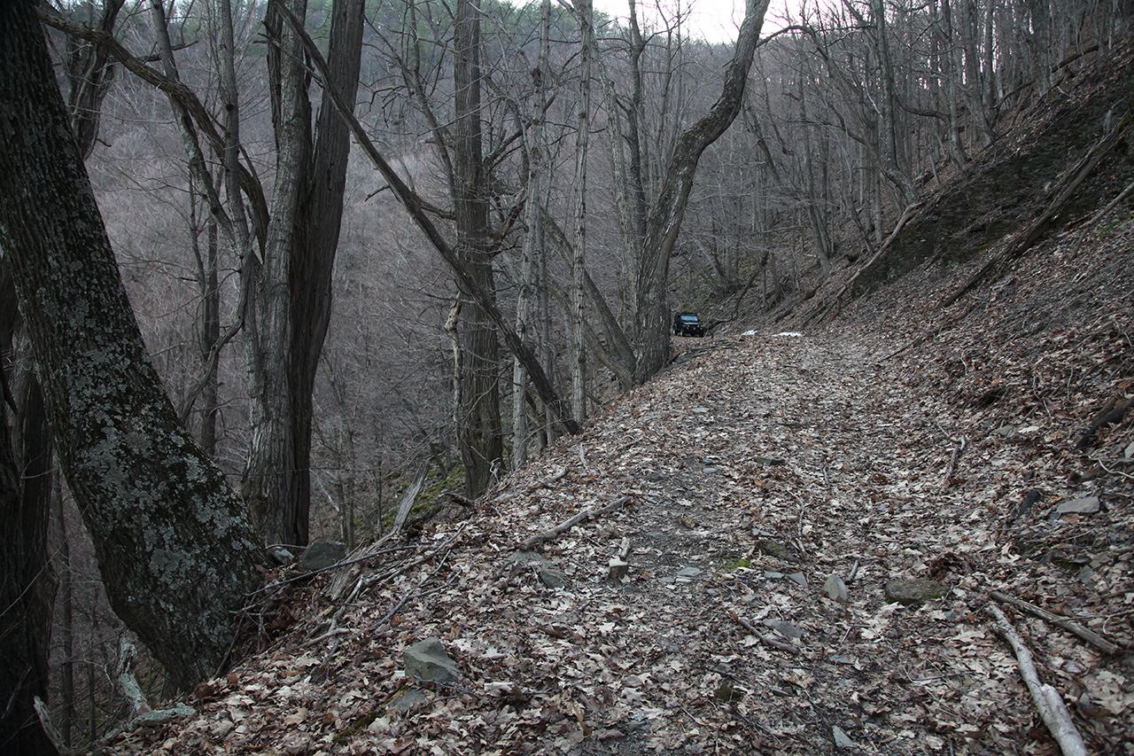
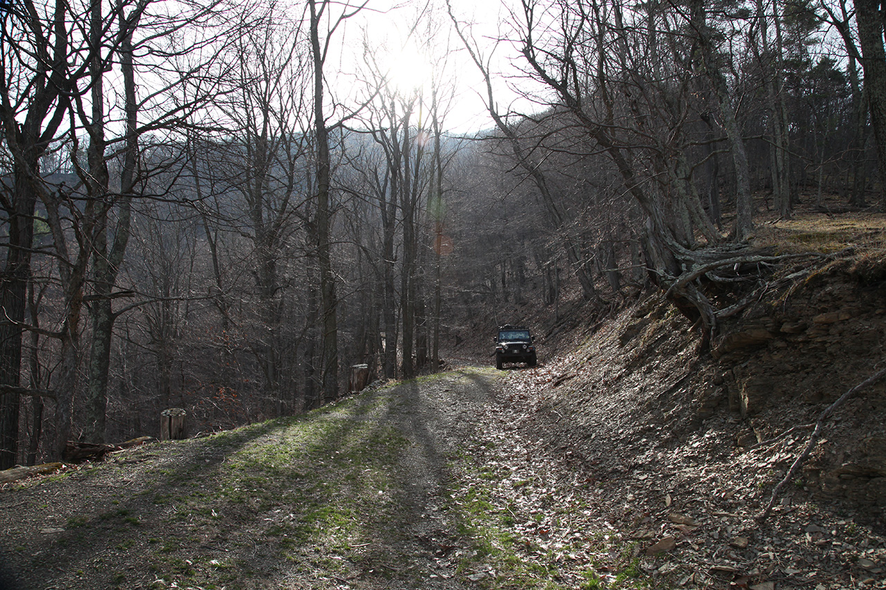
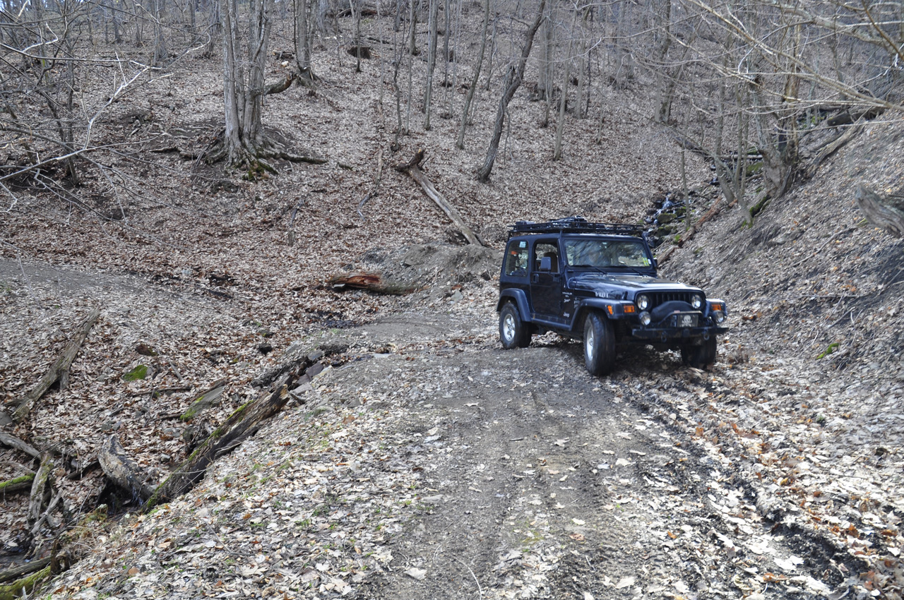
From there the trail begins
down the other side of the mountain hugging the side of the
draw.
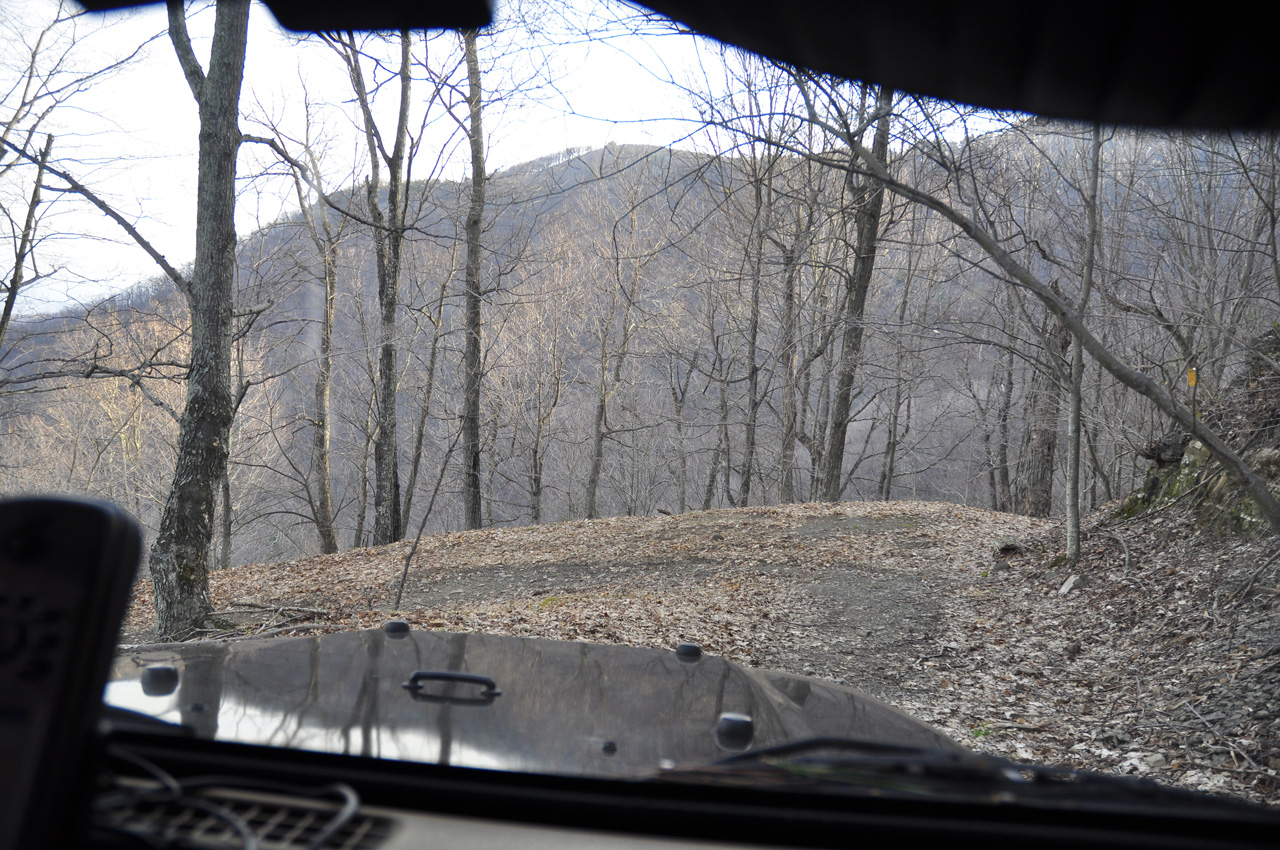
It eventually comes to a
switchback of 180 degrees. Just
before reaching that point the trail curves enough that the
way ahead cannot be seen.
 
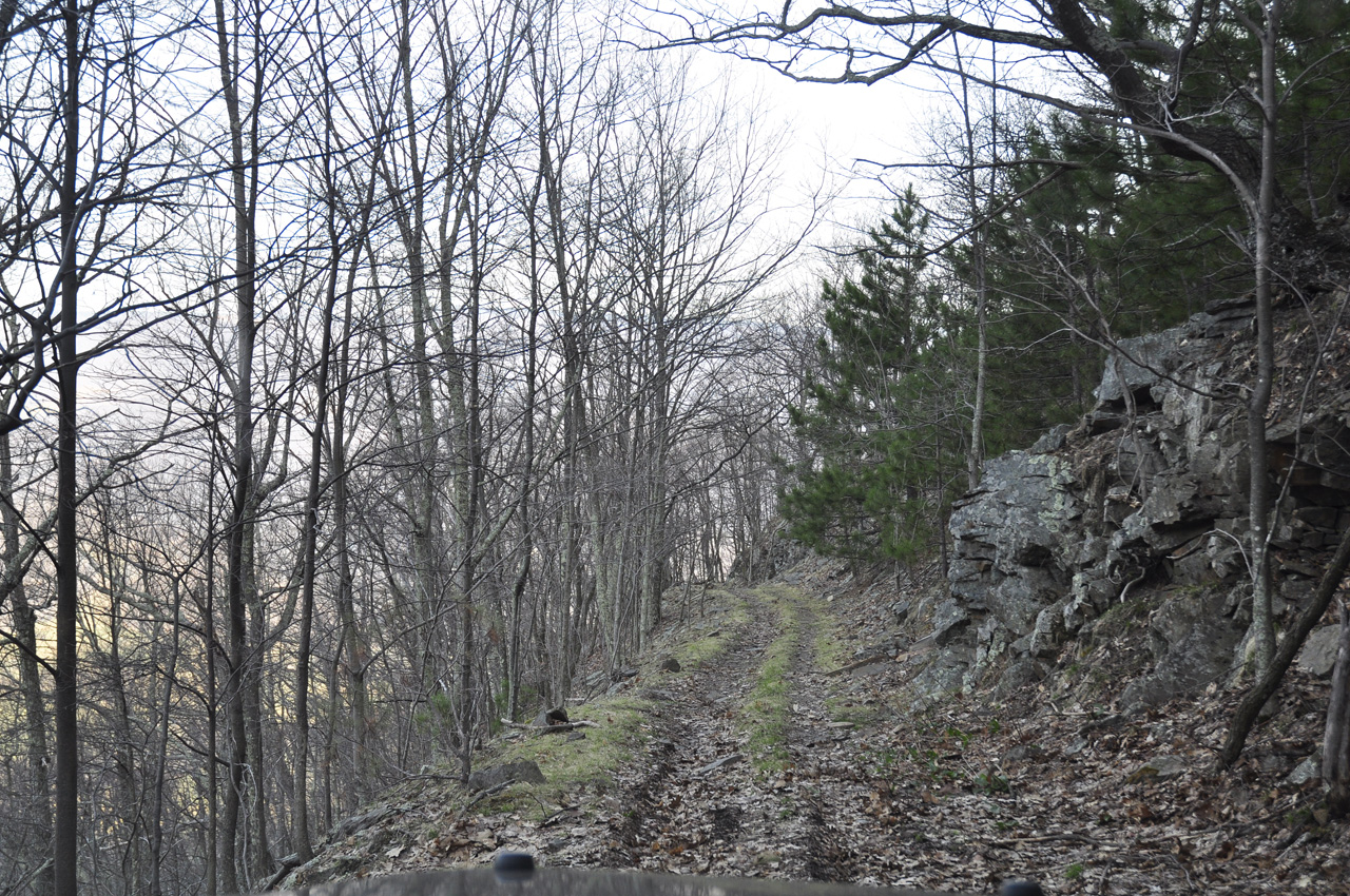
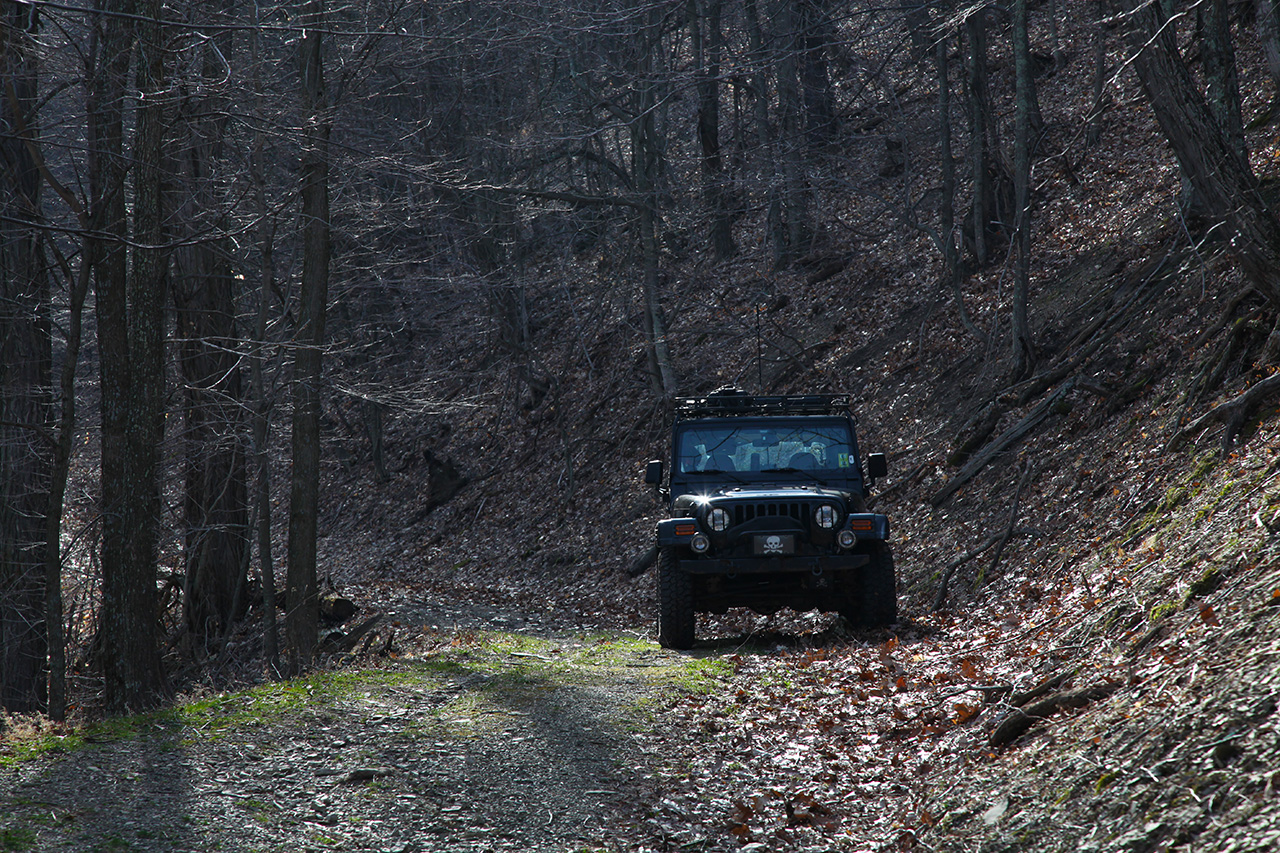
By this time, we see ATV
tracks, really just light worn spots where the ATV tires
have traveled. As most people know, ATV's are
considerably narrower than Jeeps. So when looking at
the images, picture in your mind that the Jeep is roughly
twice as wide as the tracks showing on the trail. And
imagine what that conjures up when you're driving a Jeep
down this trail and come to narrow sections like the one
shown below...
Remember, those are ATV tracks
not Jeep tracks. That means that the wheels of the
Jeep are going to be on the outside of the tracks. It
can be seen that this is a very narrow road. What is
harder to see from the pictures is the sheer drop off the
edge.. We stopped to walk and take stock of the trail.
There were some small boulders in the path that would have
to be driven over. That put the drivers side very
close to the edge and would result in the Jeep tipping
toward the edge when navigating the boulders. I have
enough problems with tipping in general, without tipping
towards the edge of a cliff... Until we walked it off,
we didn't know if the switchback was navigable.
Sometimes they erode badly and become impassible.
We didn't want to drive over the bounders only to find a
little further along that we might have to do it again in
reverse...
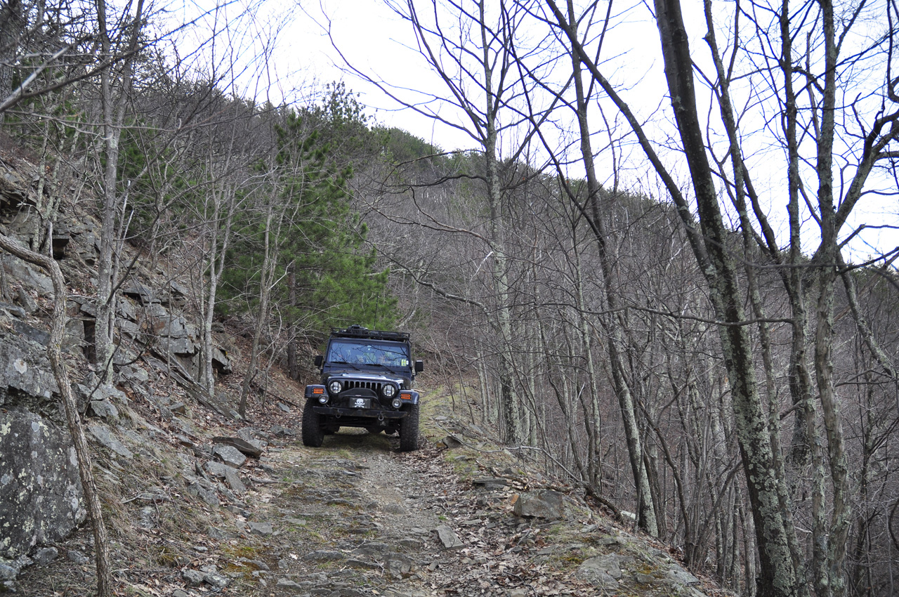
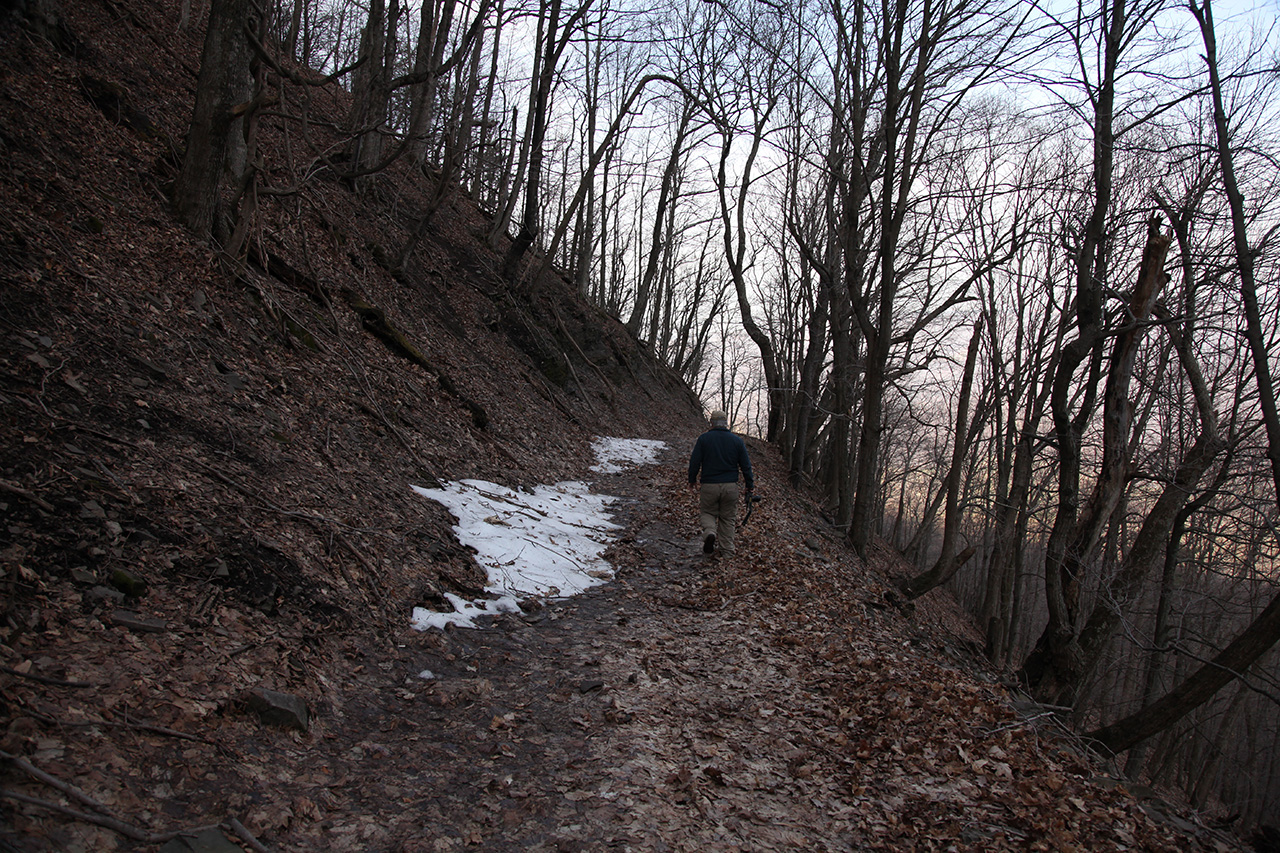
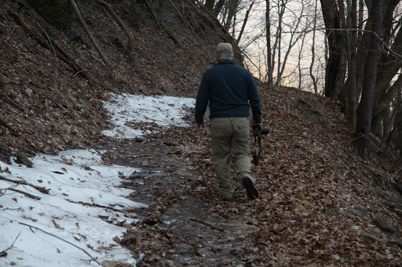
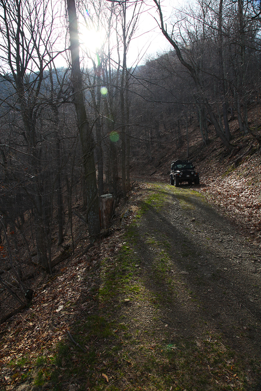
The walk somewhat put me at
ease since the switchback was wide enough to make with no
trouble and was not damaged. Here's a couple
pictures to give some idea how narrow and high this trail
really is...
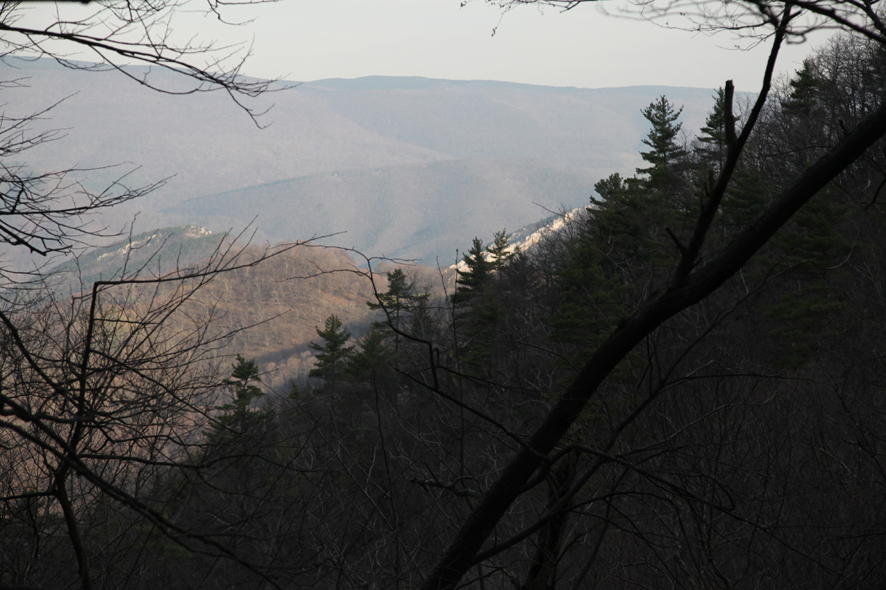
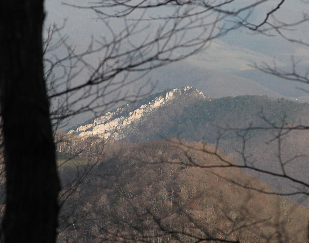
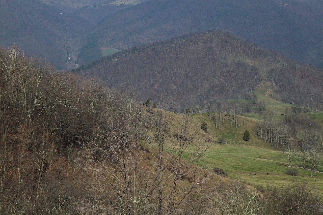
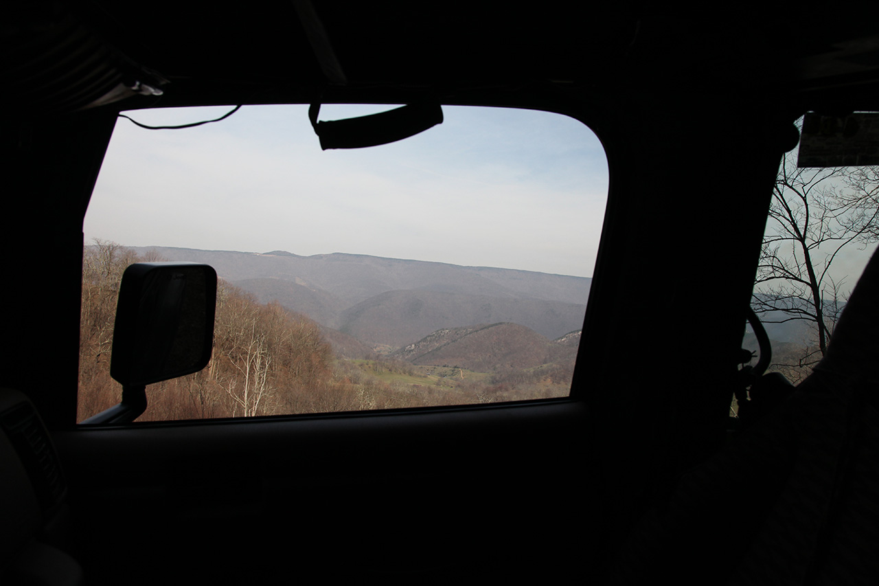
In the image below, Nelson Rocks
may be seen in the distance.
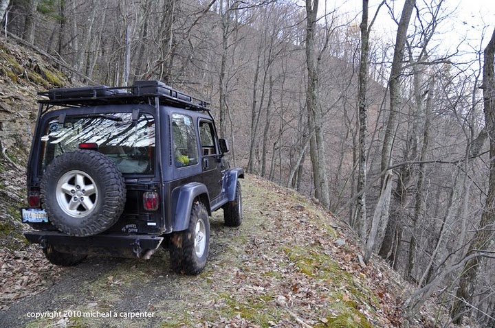
We made it through the very
narrow section, made the switchback (below), and continued our descent.
But it wasn't long before we were confronted with the next
challenge. We were on the "dark" side of the mountain.
Here's a view of the section we just came down.
From here we could see
Nelson Rocks off in the distance.
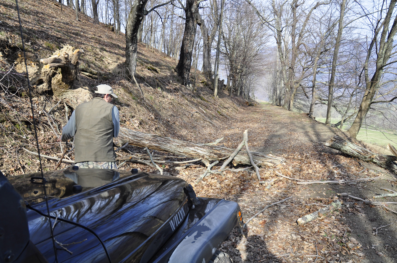
We continued down the trail.
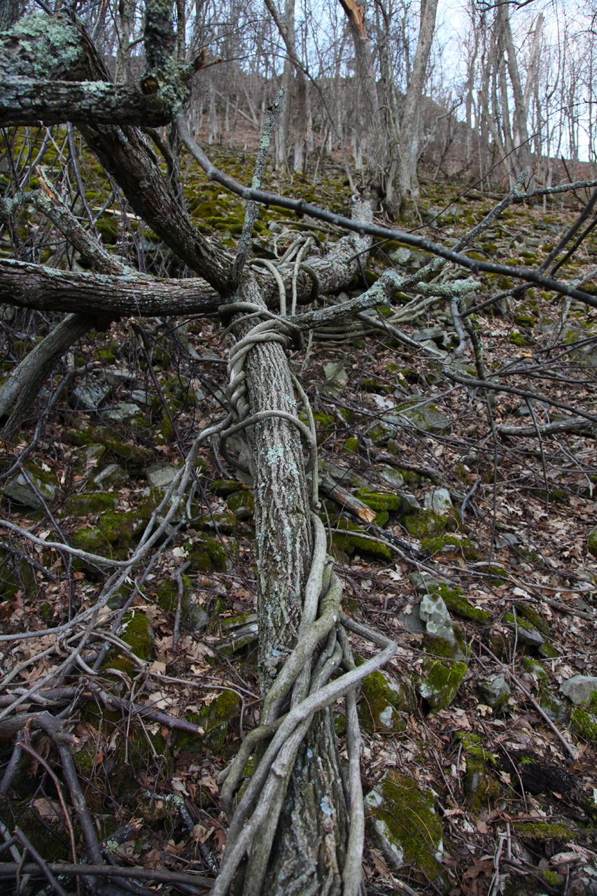
Up ahead lie a tree that was
blocking the way.
I took out my
hand saw and we
cleared it away as best we could without de-stabilizing it.
There were lots of vines tangled up in
the tree.

 
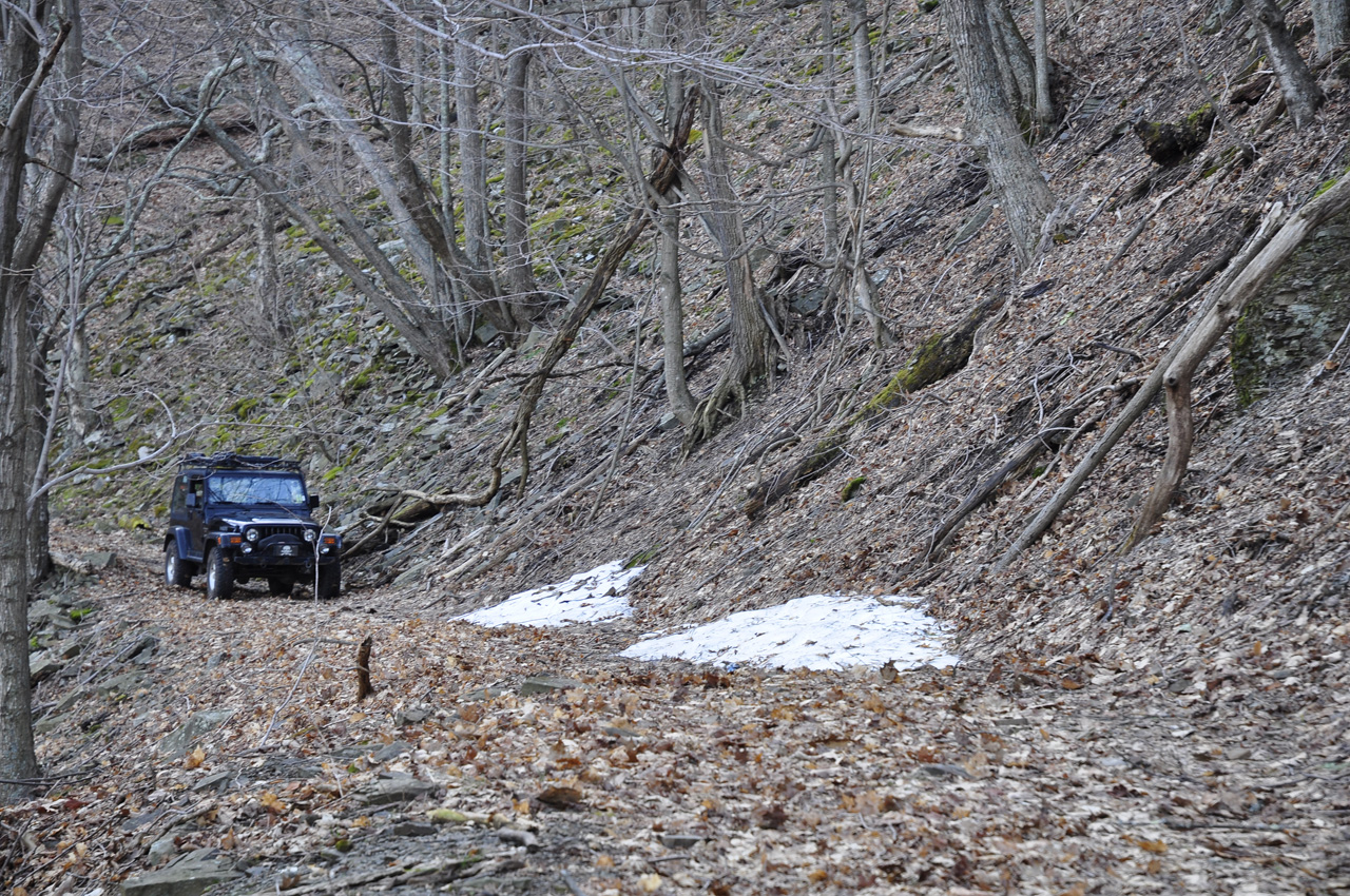
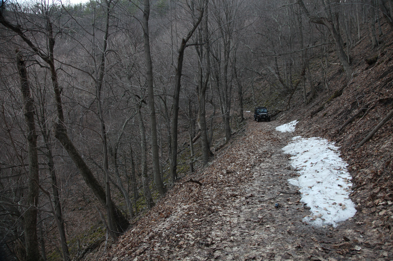
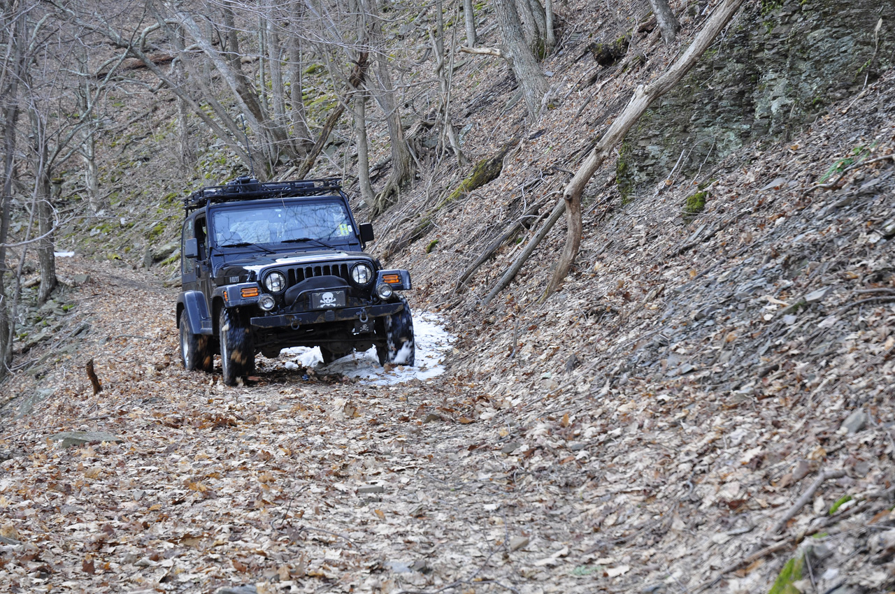
There had been record snowfall
this past winter and though we had not seen any significant snow
left behind, there before us were two banks of snow that covered
fully half of the trail. The good news was the snow was
close to the mountain and not the edge. That meant that
driving through it would leave the tires closest to the edge
with good traction (or so I thought). Mike was quite
concerned so decided he'd walk and then take pictures of me
coming across.
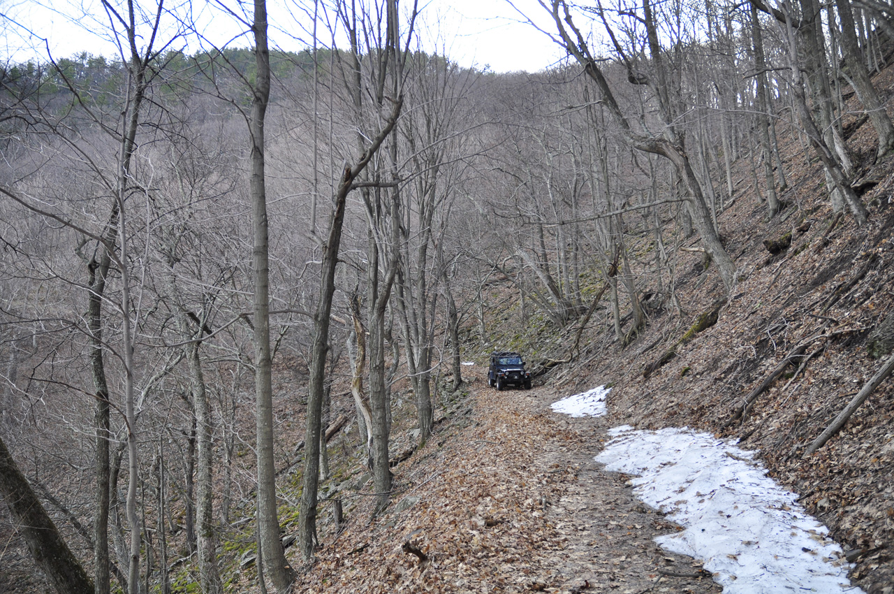
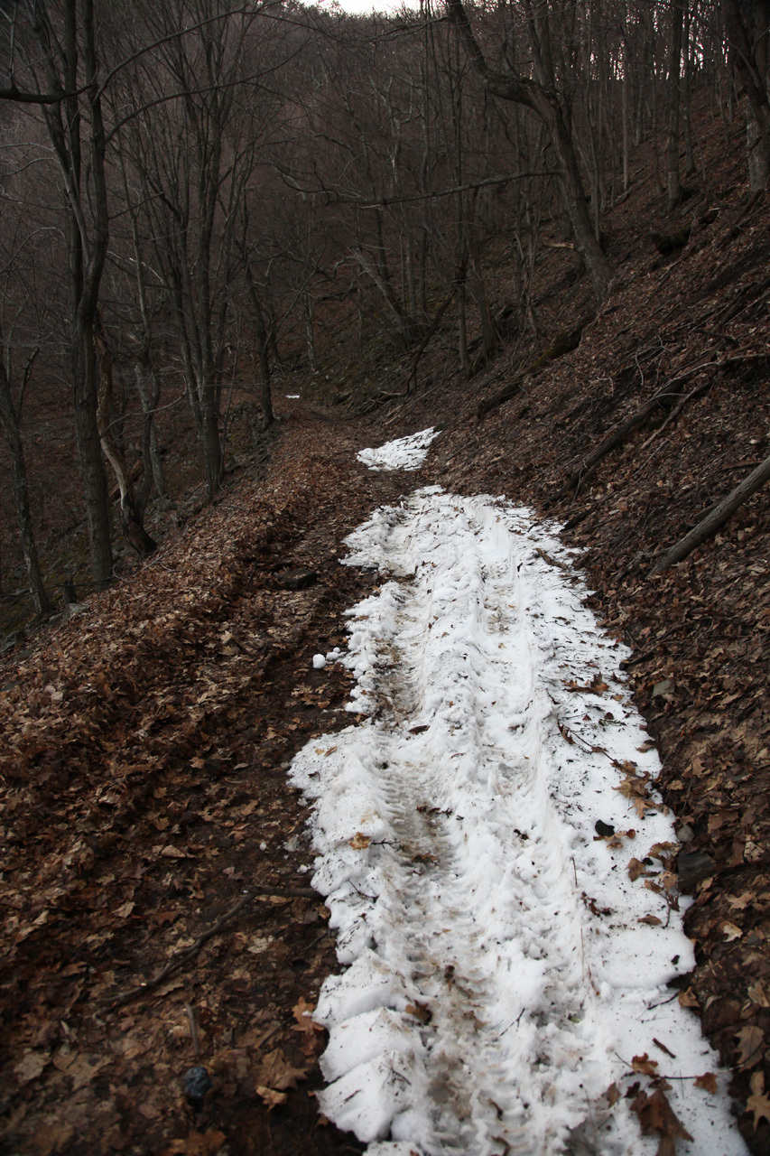
Here's what it looks like from the
other direction. It's clearly narrow. What was not
clear was the composition of the snow bank and the ground next
to it...
I slowly approached and went into
the first snow bank. Much to my disappointment, the rear
of the Jeep immediately swung out toward the edge!
 
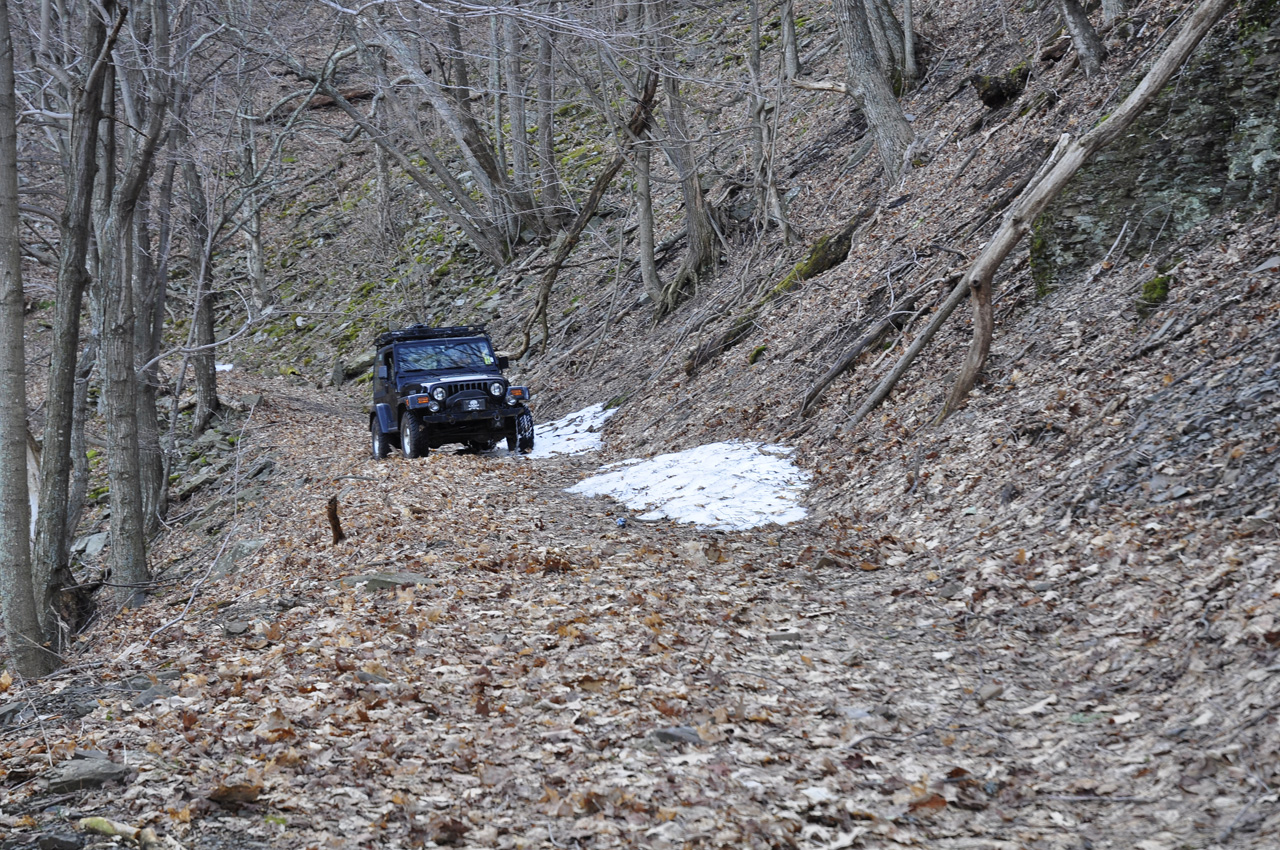
I remained composed (rule number 1) and cut the
front wheels as deep into the hill as possible - a response
counter to normal road rules. If I had steered into the
slide, I would have gone even closer to the edge... If you
really look at the picture above you will see that the rear
wheel is already off the edge of the flat part of the road.
Let me say that it didn't feel good from inside the Jeep!
When I got through the first snow
bank I looked at Mike. He was frozen. He understood
what was happening and had realized that there was nothing he
could do - If I had gone off the edge, there wasn't a single
thing he could have done to stop it.
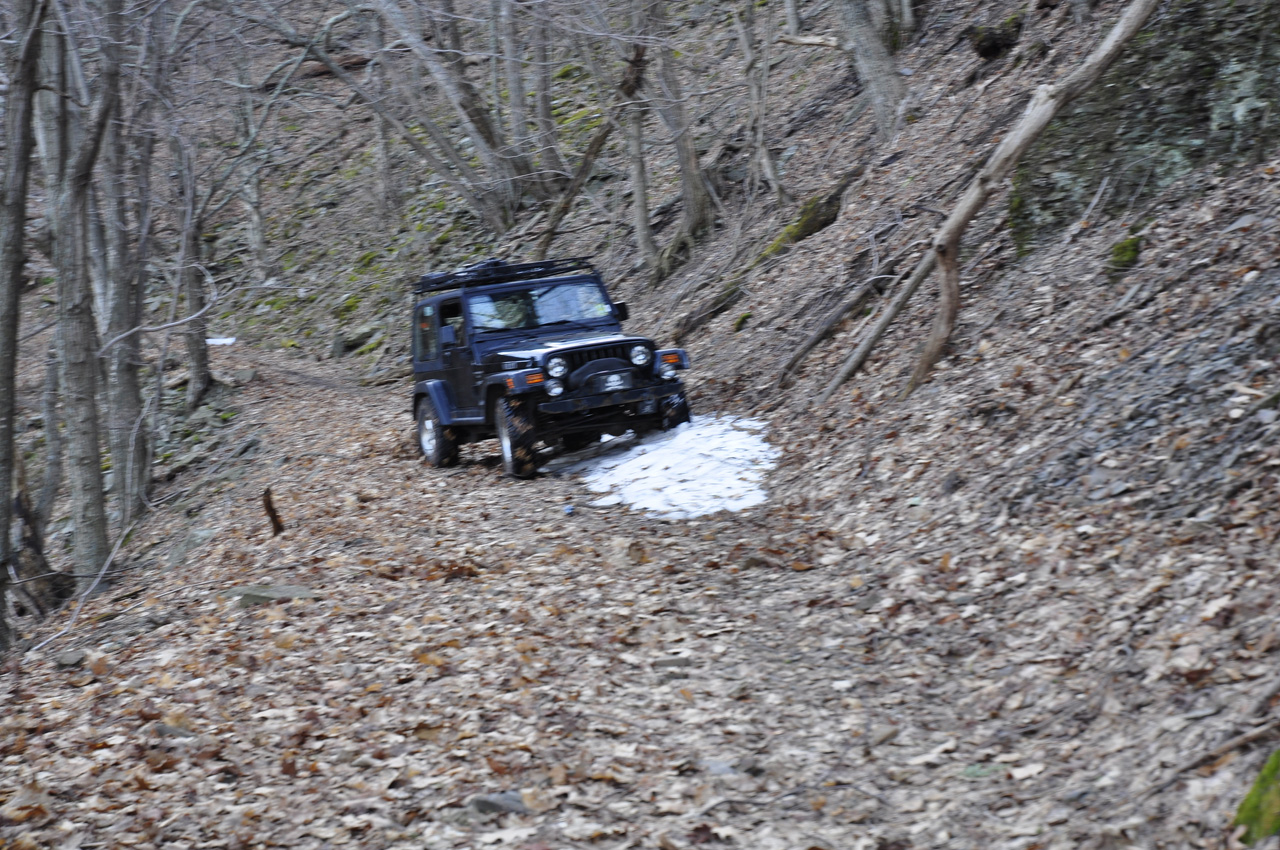
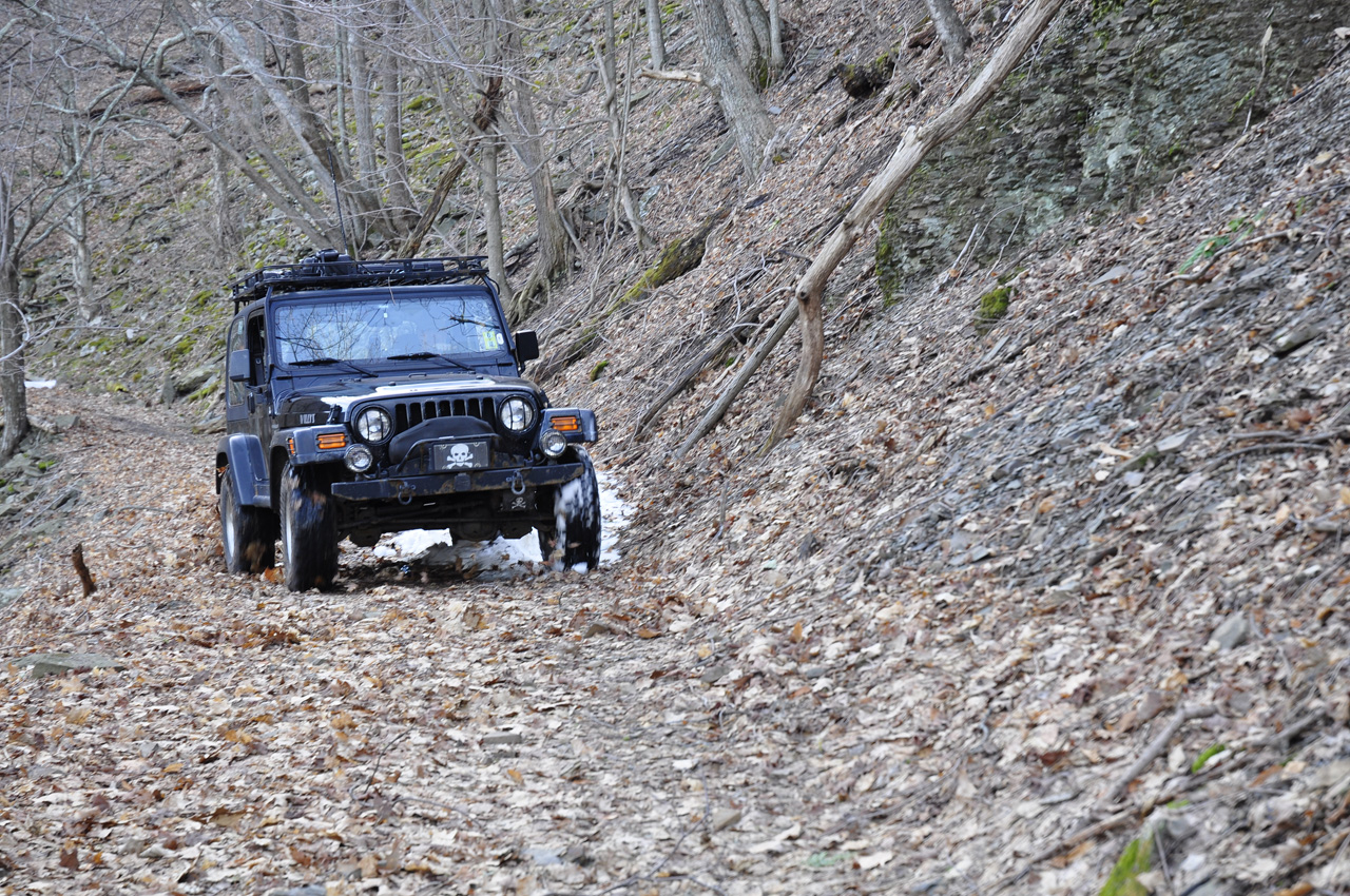
But that's just Part 1. I
still have the longest and largest snow bank to get past.
It turned out that the snow bank was a sheet of ice under the
visible snow. It was frozen at an angle away from the
hill, toward the edge. Just past the snow bank, close to
the edge, all the snow that had melted created mud. So
when I drove onto the snow bank, the rear wheels just slide off,
hit the mud, and kept sliding. The second snow bank wasn't
any better. In fact it was even worse. The picture
below shows the Jeep at an angle. I drove the entire
length of that snow bank with the Jeep crabbing sideways,
begging to go closer to the edge. I managed to keep it
from sliding off but I was very happy to be past this stuff!


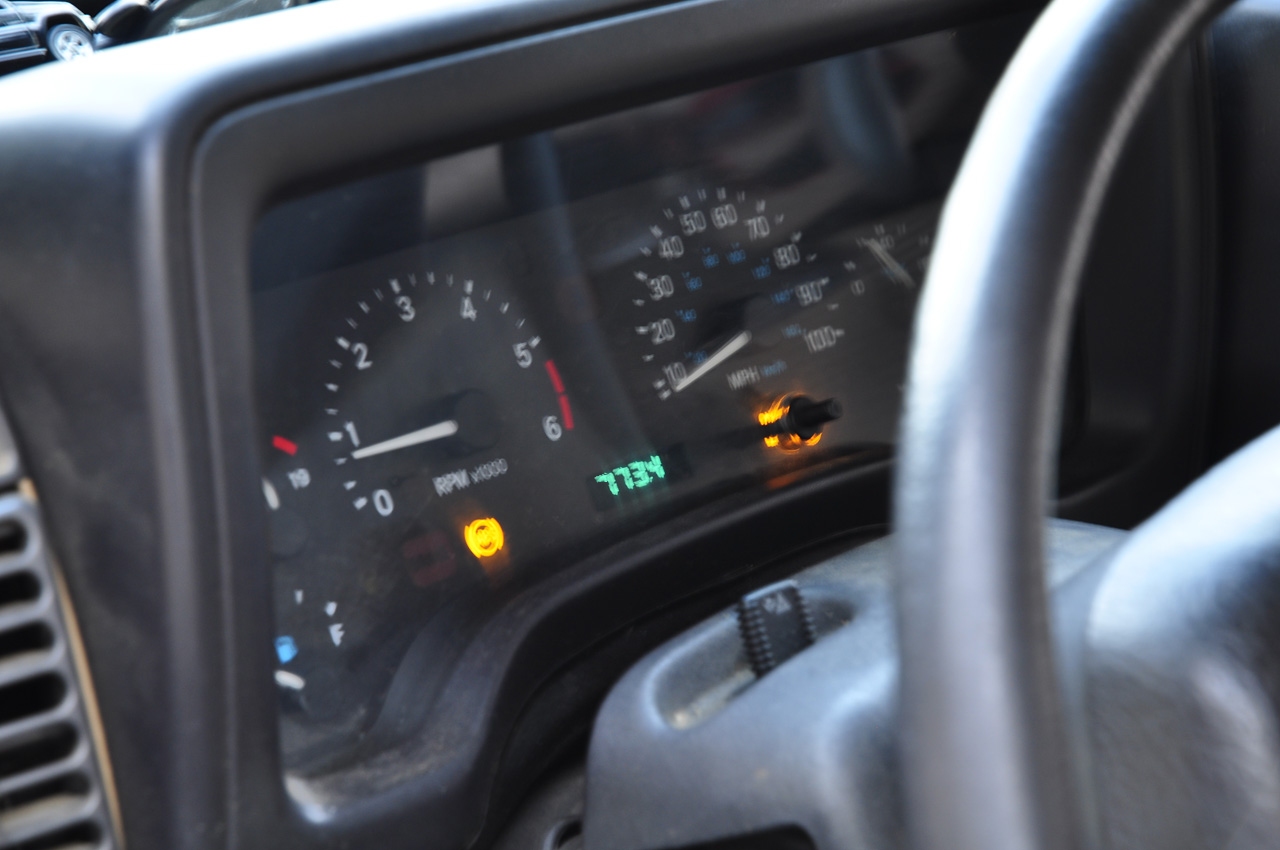
It took a few minutes for the
adrenaline to subside. I took a few more pictures and then
set out. Mike walked. The odometer had an
interesting value - read it upside down...
Not far down the trail we came to
another switchback. Walking ahead we found a tree
down across the trail. We ended up cutting it in two
places because the portion hanging off the trail was longer than
the portion on, and once cut, did not lie down for us to pass
over. I left the Jeep up at the switchback until we
finished. It took us a fair amount of time, taking turns
sawing.

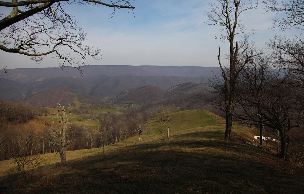
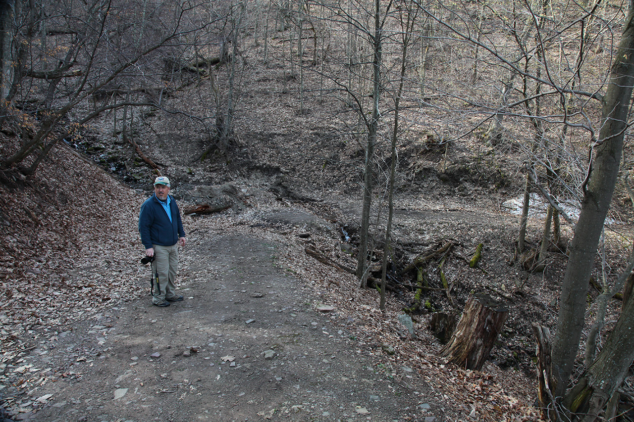
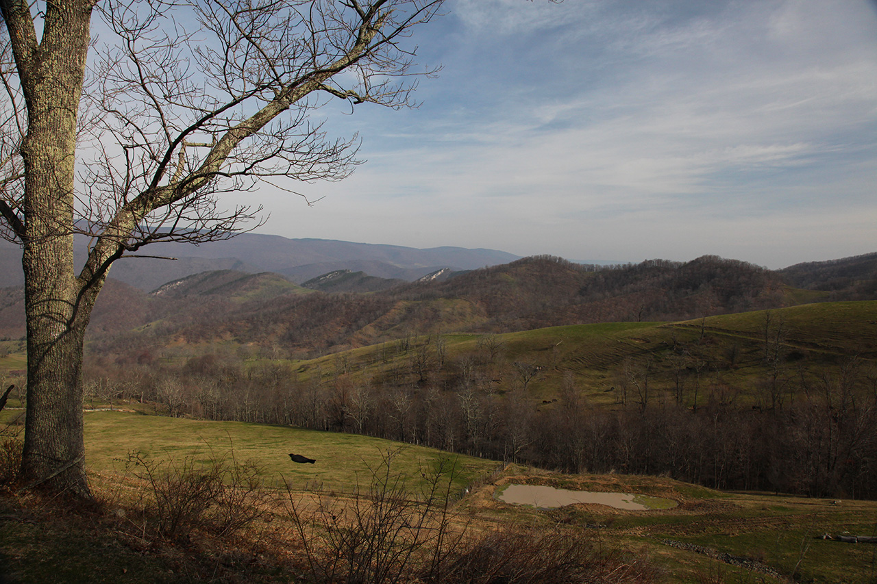
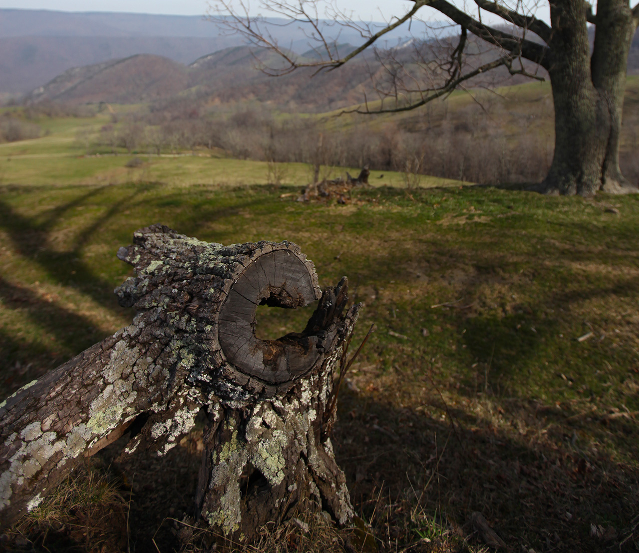
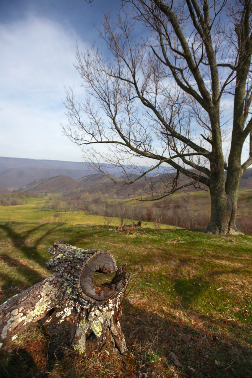
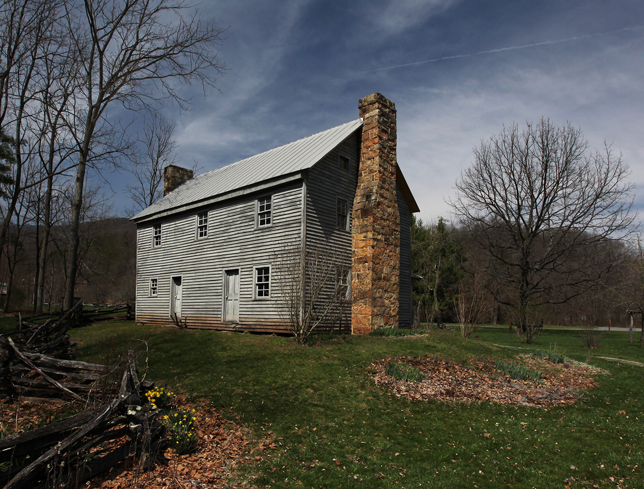
We got that done and continued
down the trail. From here out it was quite nice and we
were rewarded with several panoramic views of the farm in the
foothills.
As we made images, we discussed
how it now appeared that the trail, once a county road, appeared
to be entering the farm fields. We became concerned that
we were trespassing and upon reaching the farm yard might
encounter problems with the land owner. As a land owner
myself I perfectly understand the rights one has and would find
the appearance of someone driving through my property to be a
concern. This presented a dilemma because behind us lay
the narrow trail that we had just successfully climbed down
from. We had no wish to turn around and go back that way.
On the other hand, we did not know what to expect from the land
owner. Any complaints that they might have could not be
responded to on our part because we did not have permission to
be on the land.
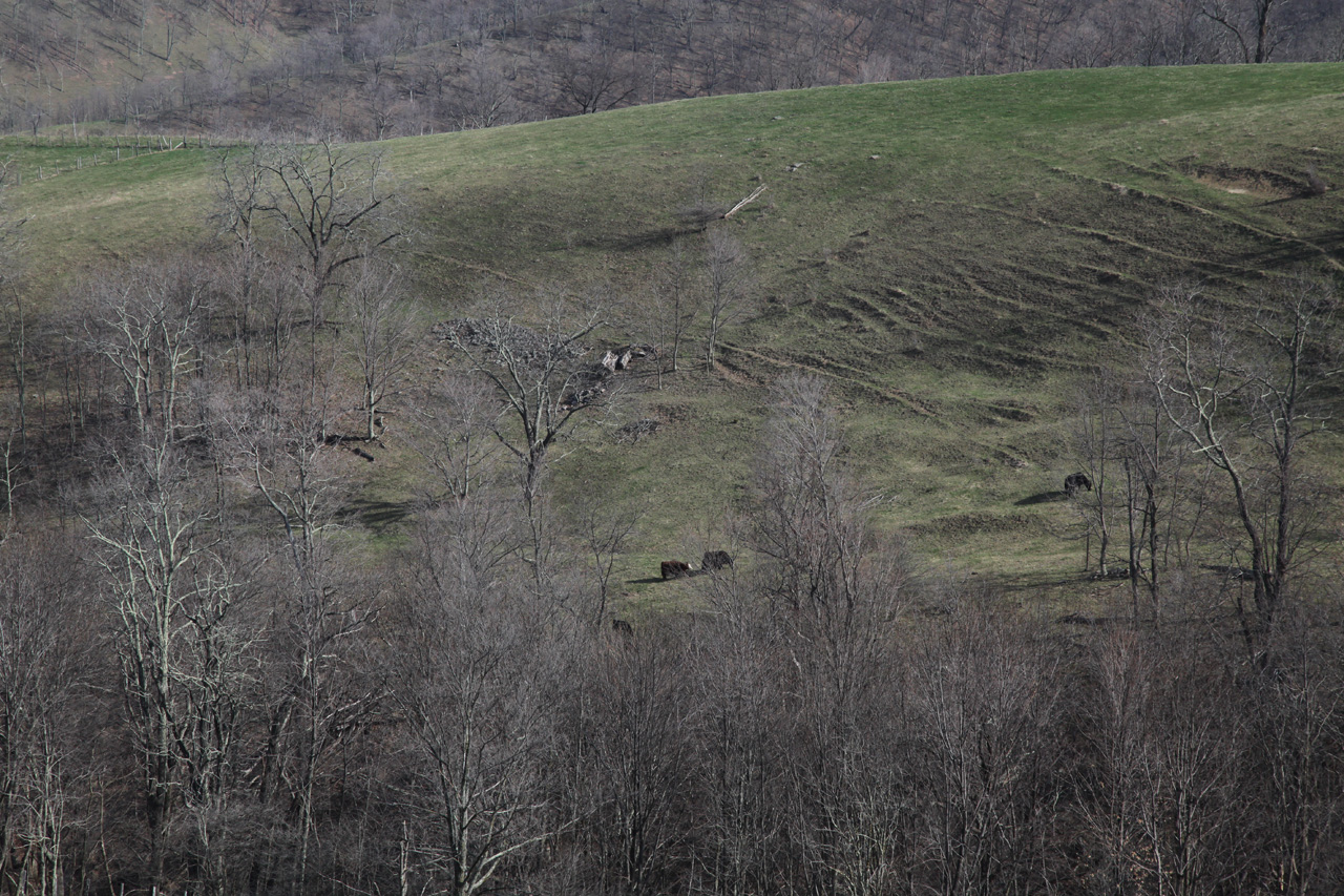
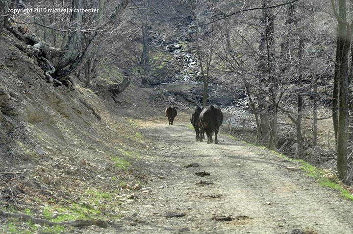
We decided to continue to be
extremely careful, not disturb the livestock that were starting
to surround us, and to make sure we stayed out of the fields and
closed all the gates through which we had to pass.
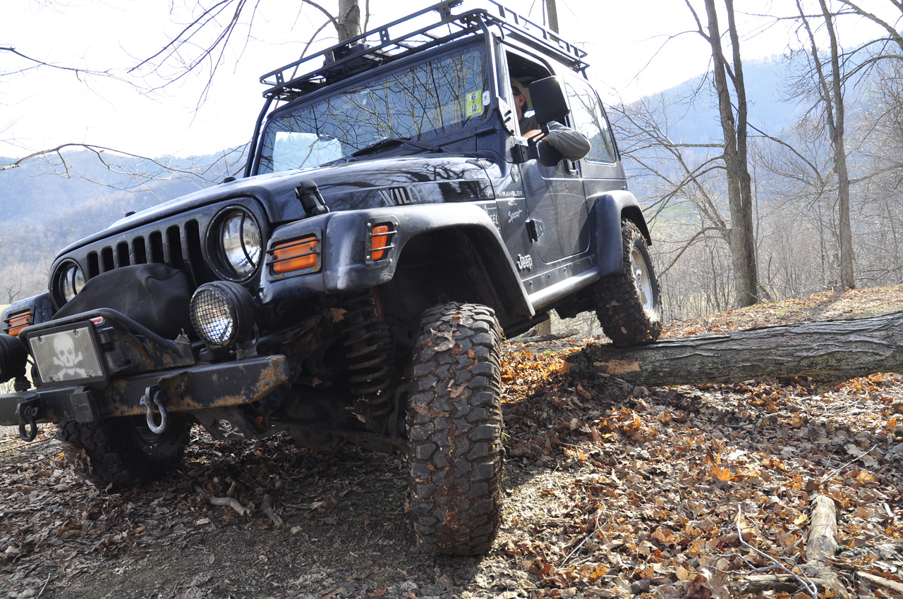
At the next switchback the trail
got a little rough again though nothing I had not seen before.
 
We encountered one more bit of
fallen wood that was narrow enough that I decided to trim it
some and also drive over it rather than hazard getting too close
to the edge.
          
Here is a Google Earth view of our
track down the side of the mountain and into the farm. The
view above is from the first point where the trail meets the
field in the satellite image below.
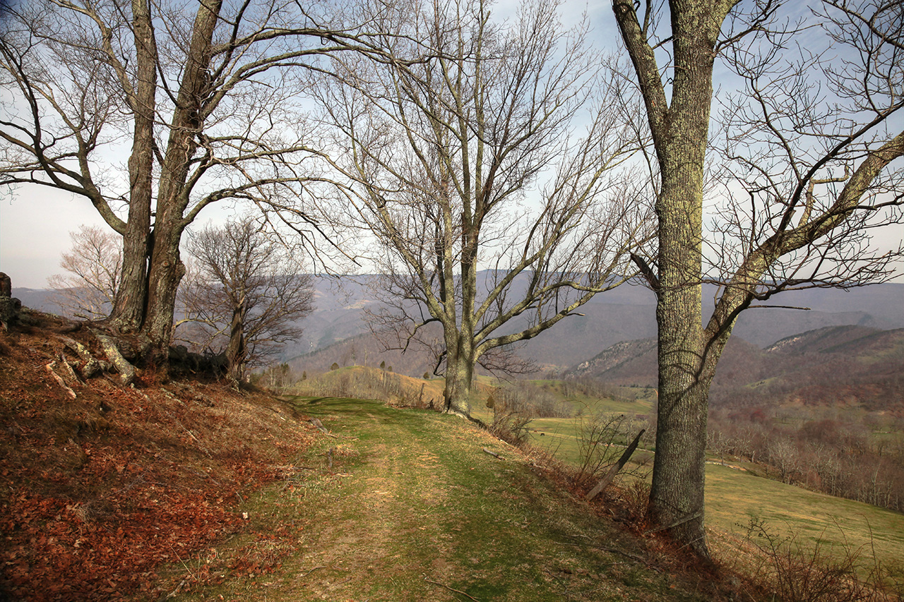
We came out of the woods again (at
the second point where the trail meets field in the satellite
image above) and were met with more incredible scenery. We
made some images and after a false start down a path that led to
the deeper field, we doubled back and got on the trail.
  
 
From this point we packed our
stuff away and crept out to the farm house, passing through
several gates along the way.
Mike opened and closed each one
the way we had found it. At the last gate, in the farm
yard itself, I saw one of the land owners watching our approach.
I cued Mike and we drove down the road stopping to greet him.
As we arrived, he flashed a smile and the Peace symbol.
That was a relief. We talked for quite a while, got a
little history of the farm and the trail, the land owners
family, and other things in general. He credited us with
our respectful behavior and gave us his phone number so we could
contact him in the future if we wanted to pass through. In
the end it was the best possible outcome. And apparently
there are those who do not behave and have caused problems so it
is likely that our experience was unusual.
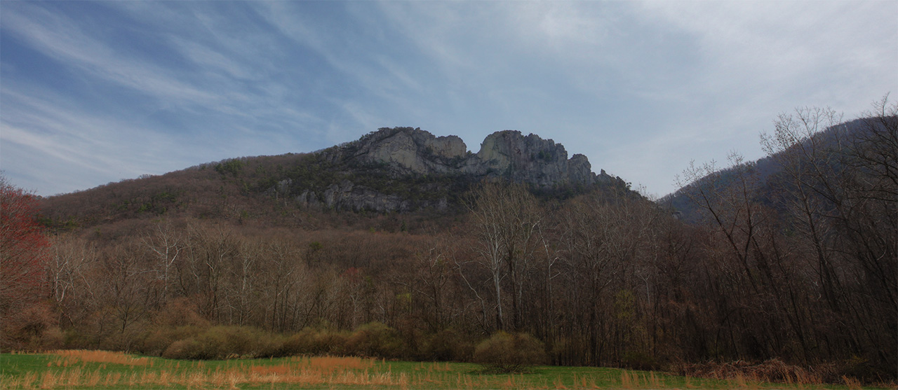
From here I steered wrong and went
west on the main road and then doubled back once I realized it,
taking a stop at Seneca Rocks for lunch and to make a few images
of the rocks and old Visitors Center.

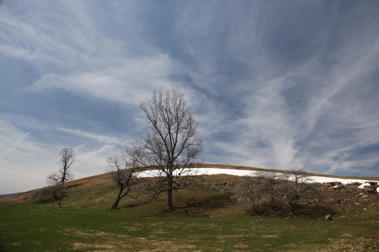
After that we drove back to our
home base. Along the way I stopped to shoot the last signs
of winter at the Continental Divide.
This is one of those days when the
weather, the location, the company, and luck all come together
in one place with a plan. We could not have asked for or
been given a better day!
|