"Faceless
Man"
I spent a day by the river
It was quiet and the wind stood still
I spent some time with nature
To remind me of all that's real
It's funny how silence speaks sometimes when you're alone
And remember that you feel
I said it's funny how silence speaks sometimes when you're alone
And remember that you feel
Again I stand, Lord I stand,
against the Faceless Man
Again I stand, Lord I stand,
against the Faceless Man
From
"Human Clay"
Written by Tremonti/Stapp Published by
Tremonti/Stapp Music
(Adm. by Dwight Frye Music, Inc.)/Dwight Frye Music, Inc. (BMI)
Produced, Engineered & Mixed by John Kurzweg
Prologue
To say I
had not been wheeling in a while would be an understatement. My
last trip was a solo to avenge my debacle in a mud hole that I never
should have gone into.
The night
before this trip I was driving and my friend Mike send
me a message inquiring on my progress in the snowfall to my destination
(home). For the next few hours I sent him updates about my trip
over Keyser Ridge, Coopers Rock, and finally my abortive attempt to make
the last 120 feet up my driveway on tires made for high speed driving on
dry pavement. Snow was never an option and making it this close to
home without incident was a blessing.
Later that evening I
spoke with Mike and we agreed it was time to visit Beaver Hole and make
some images of winter. The nights snowfall was just enough to make
everything pretty and the temperatures in the teens, combined with no
wind, promised to leave us some great photo opportunities.
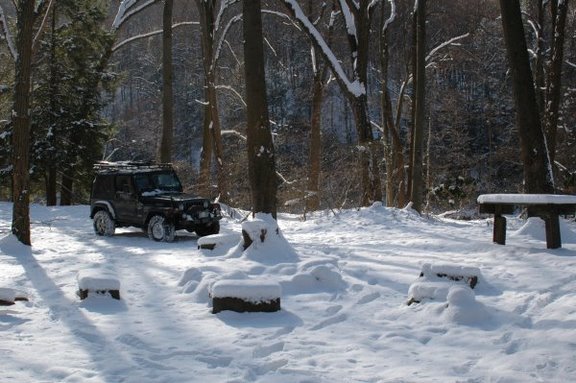
The next morning I got
up, managed to get my car up the last 60 feet of driveway after some
shoveling, sanding and swearing. Next I jumped in the Jeep and
turned the key to warm it up. "CLICK CLICK CLICK CLICK CLICK CLICK
CLICK !"
DOH! It had been at least a week since I had driven it and it had
been quite cold the last few nights. It was 12 degrees at the
moment and that just didn't combine for good starting conditions.
So I got the charger out, put it on the battery, and gave Mike a call to
tell him I was running a little late.
I made breakfast and
spent about forty minutes getting squared away then went out to see what
I had. The battery had come up and I was able to get the Jeep
started and loaded. We were off! The extra money spent on
the Optima battery is well spent as it
tolerates this sort of abuse without a burp.
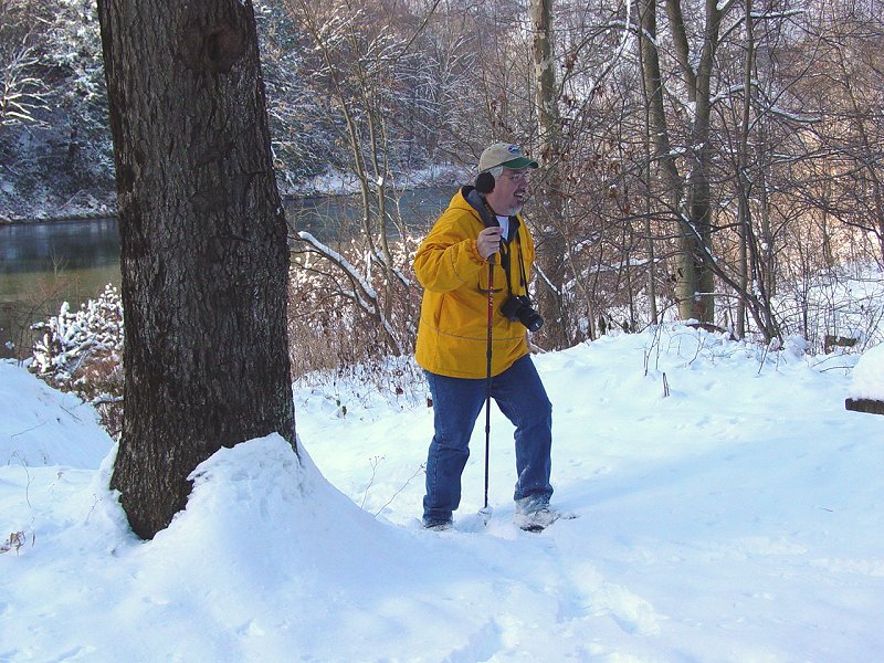
I met Mike at
Ashebrooke. After a quick stop to get a sandwich and some other
things for lunch, we loaded into the Jeep and I set a course for the
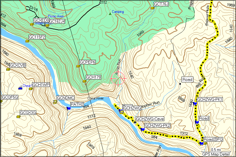
"parking area" on the trail to Beaver Hole. We followed the route
that the GPSr calculated and took a little tour of the Cheat Lake and
Glenmark area... Once I remembered how to operate my GPSr..., we got
on our way. We drove up Route 68 to Cooper's Rock and then snaked
our way to the trail that leads down to Beaver Hole. Since
acquiring my '76, I have a lot more
storage for maps and data so I have taken to keeping my off-road
waypoints in memory. This was handy because it meant I had the
extra marks I put in for the road down to Beaver Hole. This meant
simply telling the GPSr to take me to "Road", seen below on the map, and
we were on our way down the trail.
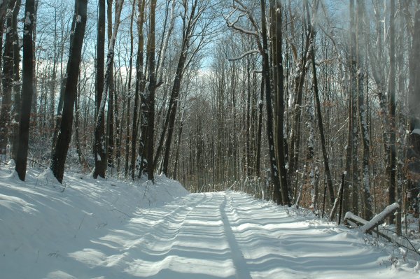
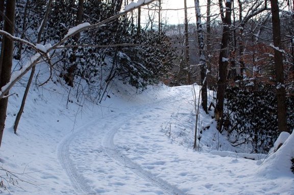
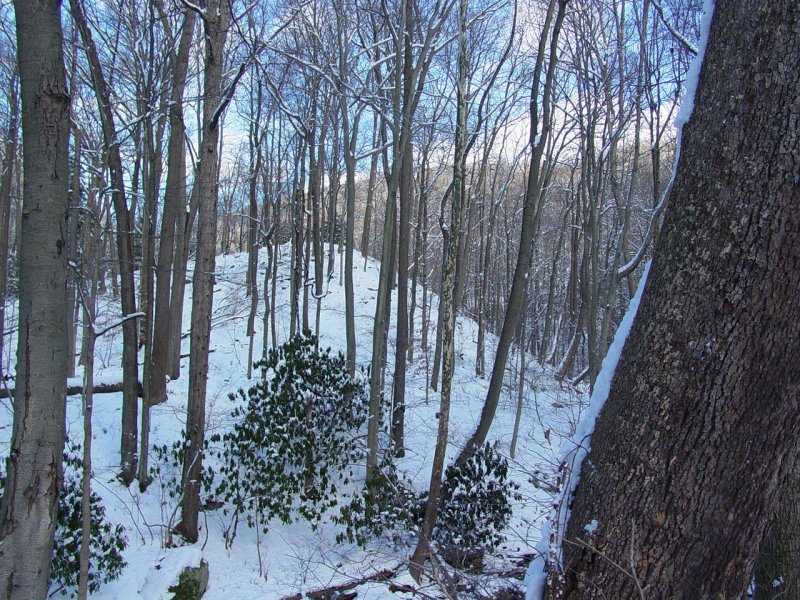
Trail
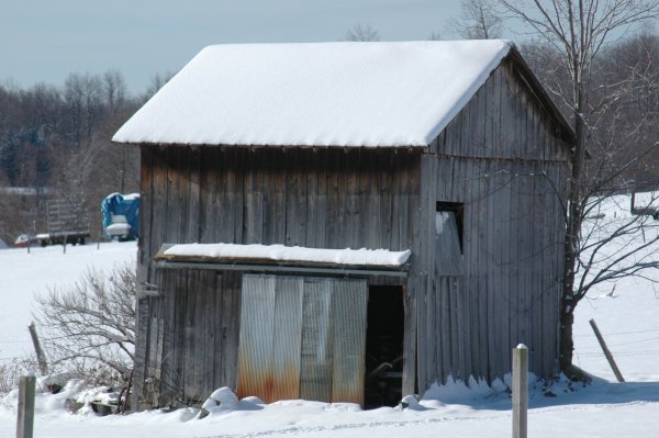
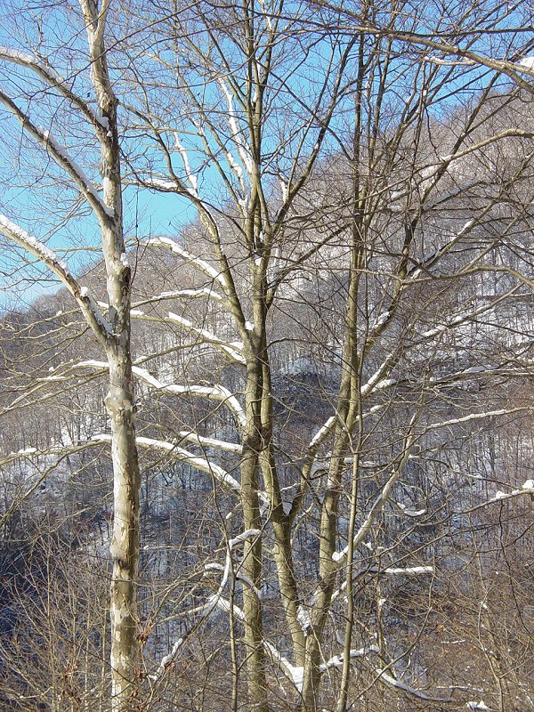
The road
descends moderately past a few homes, a few seasonal places.

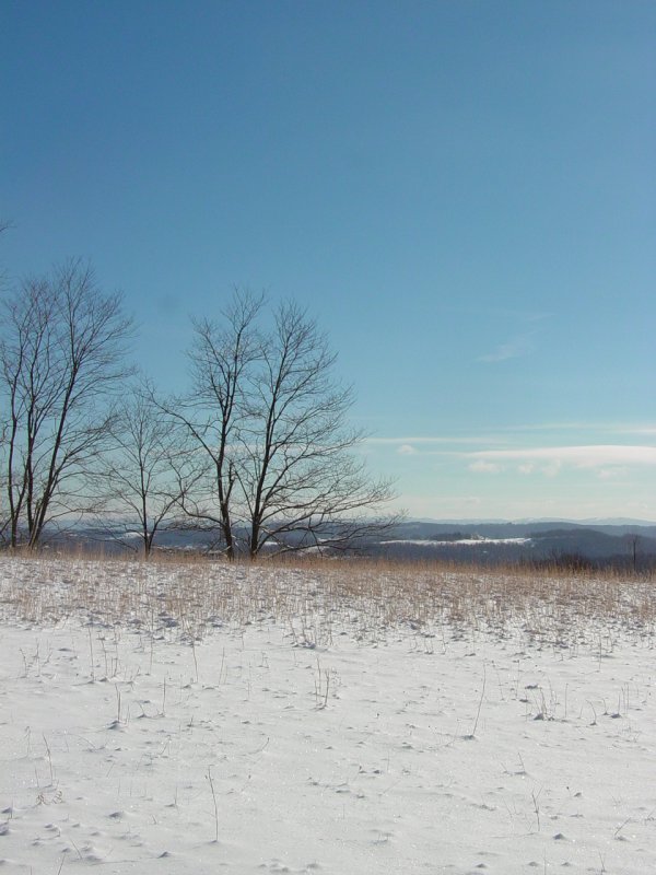
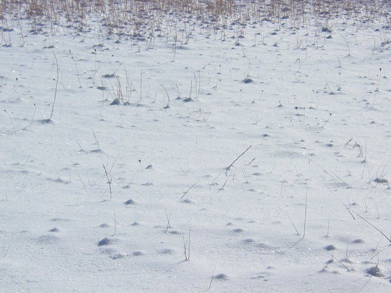
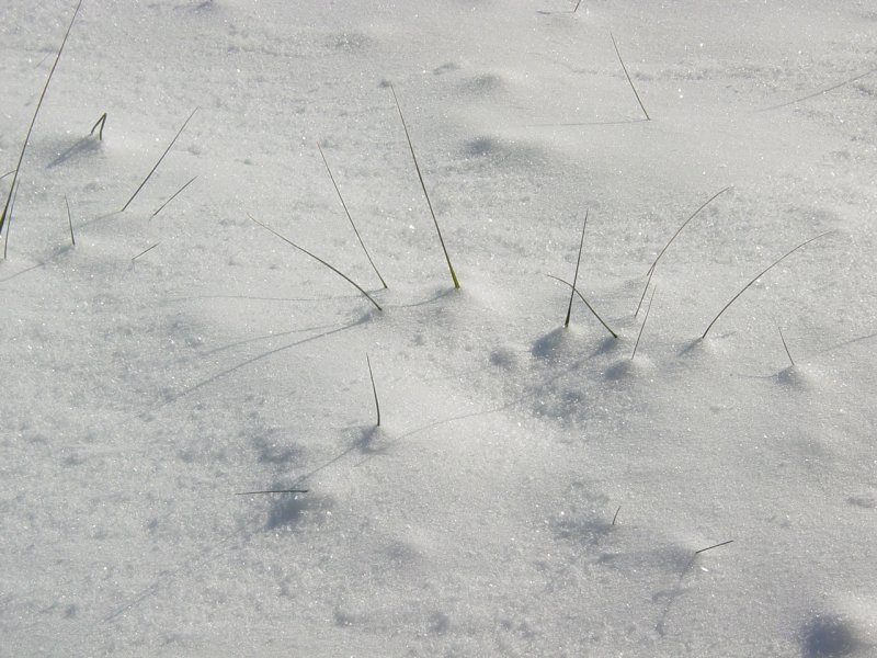
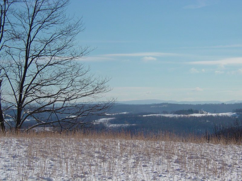
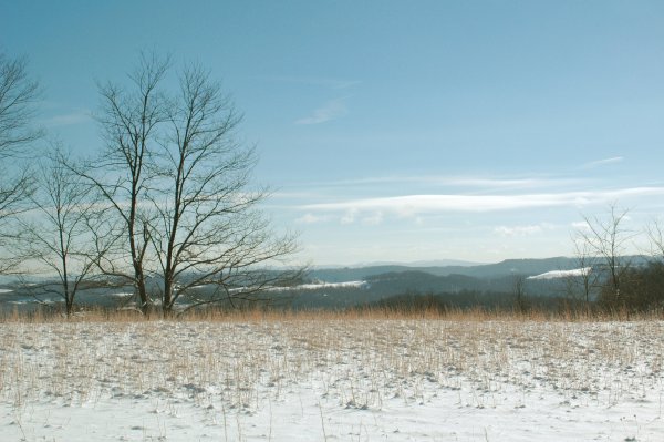
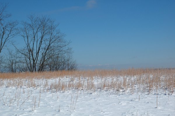
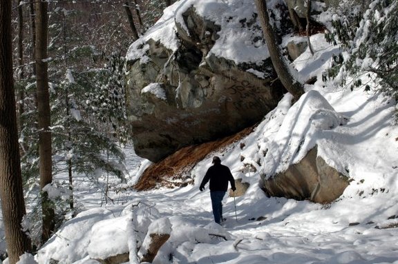
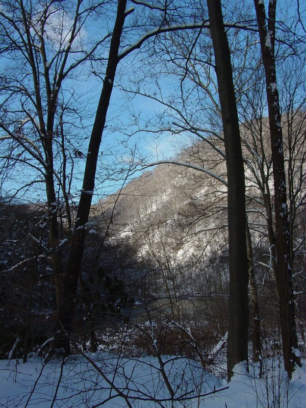
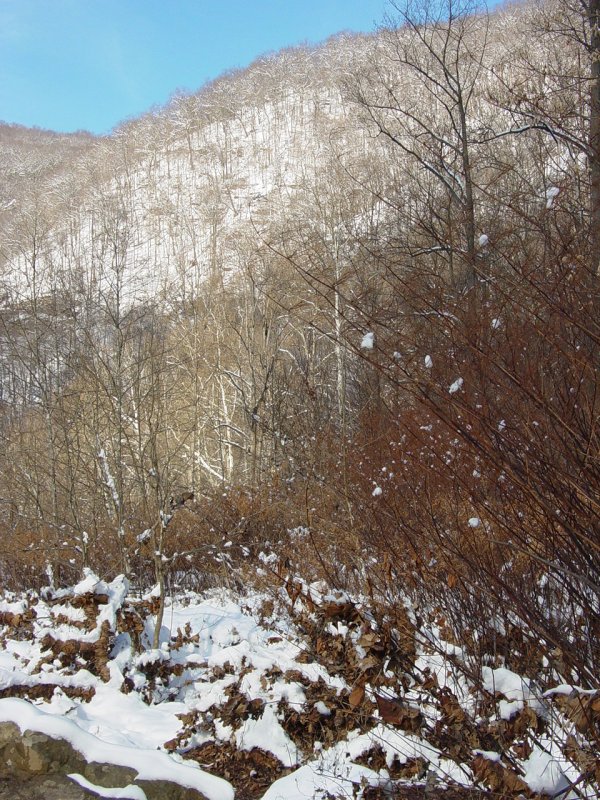
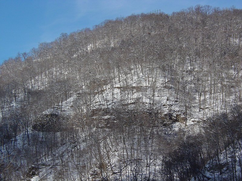
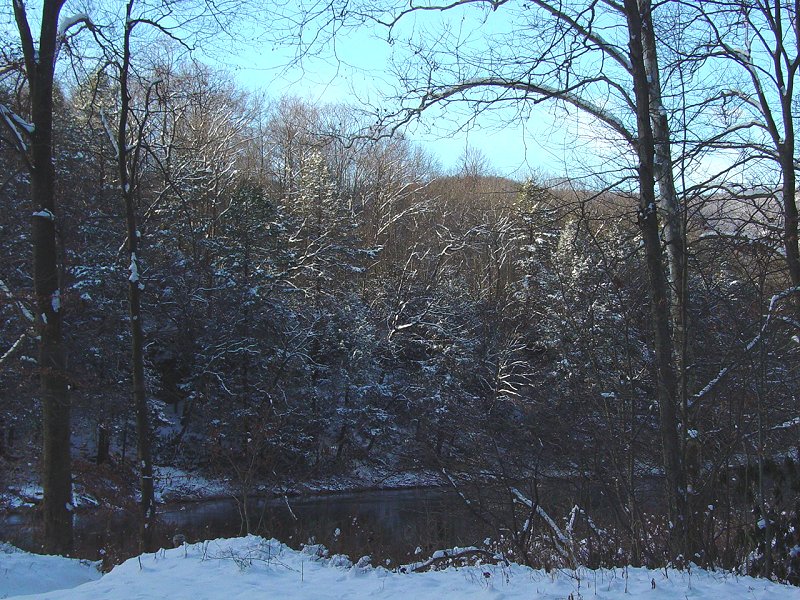
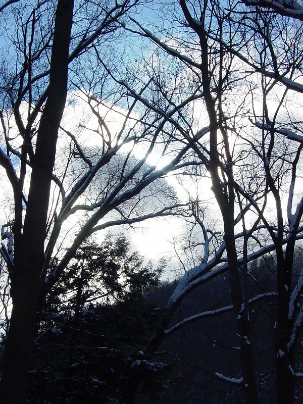
Along the
way we stopped to make some images of a snow field and the view in the
distance.
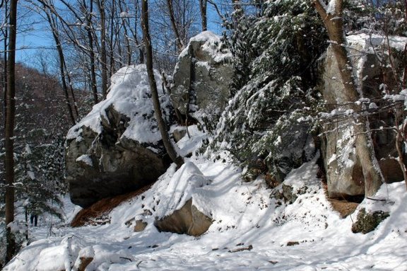
Finally we
reached the point in the road where the snow plow stopped plowing.
To the right of that the road continued down into the woods.
Once on the trail we
flushed out a Coyote who had been walking along the trail until we
caught up to him. It turned 90 degrees and headed into the woods
and up the ridge. By the time we stopped, he was too far away to
be photographed and this was all we saw of it...
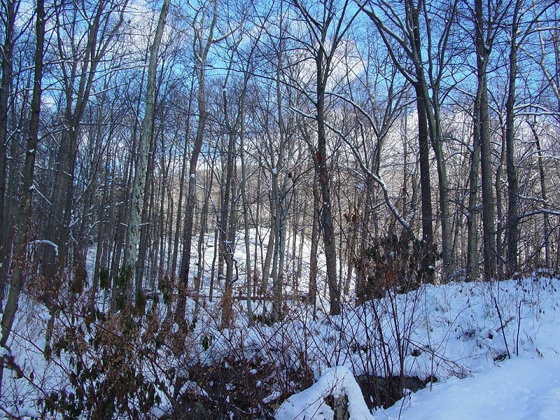
The trail eventually
had no tracks on it other than from wildlife and the ones that we would leave behind.
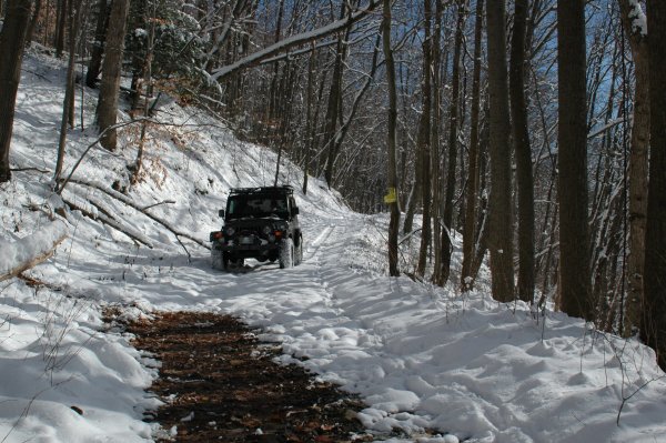
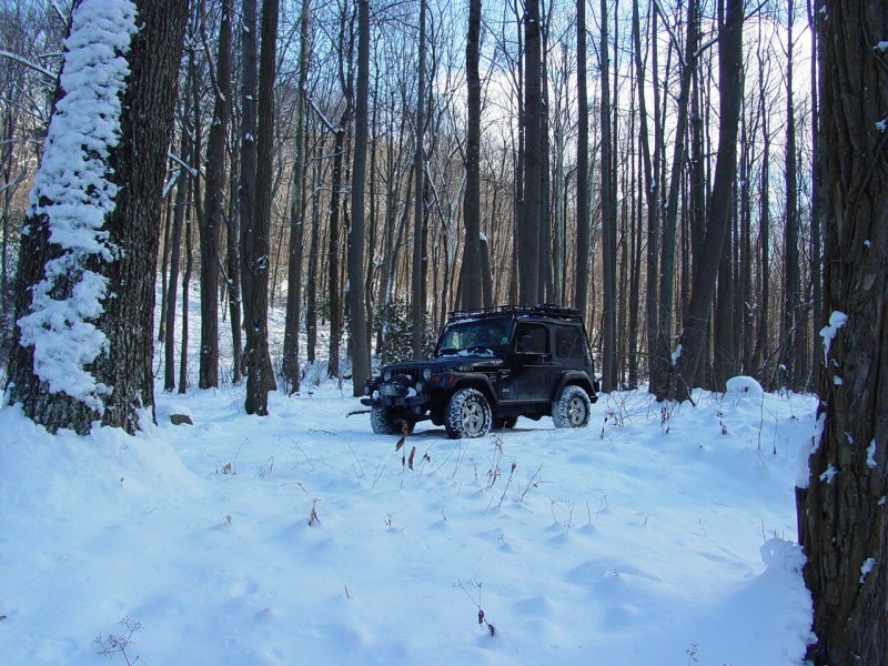
Now we were 4-Wheeling! At the point where the
road makes a 90-degree turn, it gets more narrow and starts the 2-mile
gradual descent to the bottom of the canyon. I like to say there
are four or five "filters" along the way that challenge people to pass.
The first is a rough
spot where it looks like most people park. Just following the
"parking lot", there is a sharp drop off from erosion. It's not
much of an obstacle for high-clearance vehicles but it does prevent
others from going further than this. There are lots of "wet" spots
on the trail. They consist mainly of places where the water
collects and the trail gets rutted. None of the ones on the
trail on the way down approach anything like
the fun I had on the other
side of the river in June...
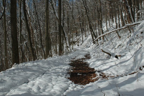
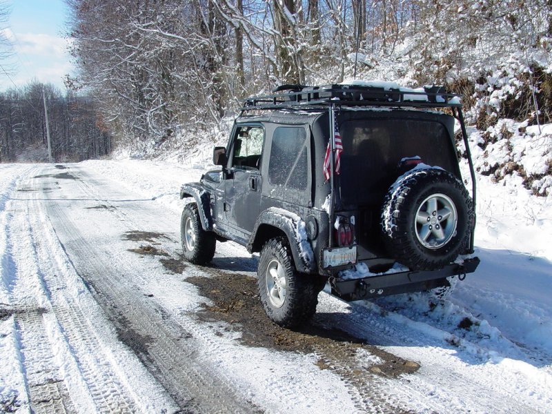
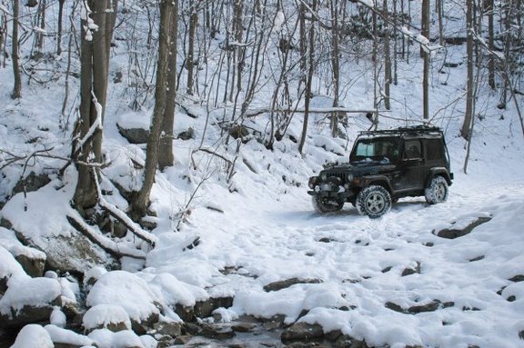
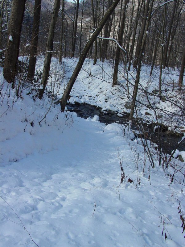
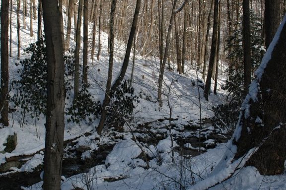
The second spot is where a
small stream crosses the trail. Today it barely would get
attention from someone who didn't know it was there. The photo
below makes it look very tame. And with some moderate attention,
it is. But it was a lot more difficult
the
last time I came down here with the kids.
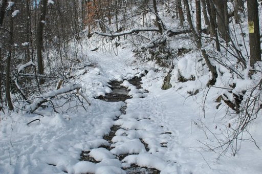
This
time it was just another spot where water crosses the trail and some
rocks line the sides. This demonstrates how conditions change over
time, sometimes for the better (probably because somebody did some
repair work...) and sometimes for the worse (erosion, water build-up,
etc.). Mike decided to take a picture of the Jeep "before"...
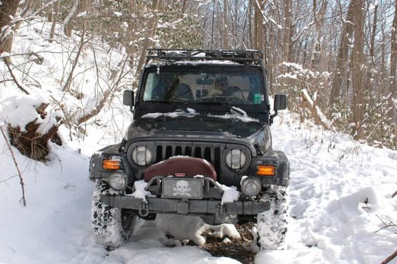
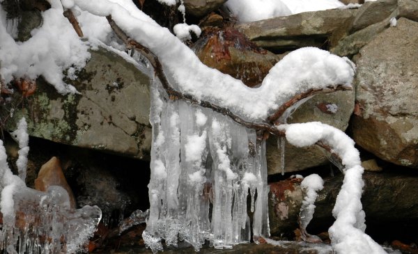
I
stopped in the middle of the stream while Mike made some images of the
water and ice.


Then we moved on
through the spot with no drama and no problems. The trail was
quiet and pretty with lots of wildlife tracks.
Further down there
are a couple narrow spots. Then two more "filters": a rocky wet crossing
over Christopher Run, and a
narrow spot where a large boulder must be avoided on one side and a
little erosion on the other. Since I had already noticed changes
in landmarks from my last visit, I decided to walk ahead and check these
because they represented more difficult challenges that would only be
worse for change. First I crossed the stream.
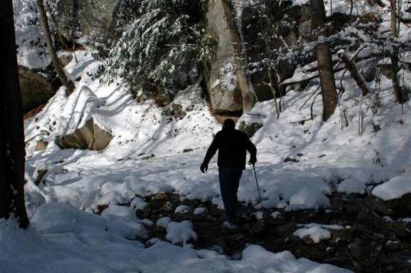
Nothing major was different that would present any problems. The
snow conceals the boulder field that forms the bottom of the stream-bed
when the water is running strong. This meant I would take my time
getting through so I would not break anything. Next was the
passage at the boulder. Again, things looked fairly stable and
unchanged since my last visit.
Since Mike would be taking pictures,
I used this opportunity to place my footprints where I wanted to have my
left tires. This would put me on the correct line for crossing the
stream and getting past the boulder. The trick with the stream was
to avoid the high rocks to the right and to avoid falling off the ledge
on the left. The trick with the boulder is to avoid side-swiping
the Jeep on the boulder and to avoid falling off the edge on the left.
Both spots are wide enough to achieve these goals, but the sweet spot is
narrow.
Editorial
This is where the fiction of Jeep
commercials gets people into trouble. You know - the video
that's playing to some fast-tempo rock music (so far so good) with
some sort of Jeep making rooster tails in whatever form of terra
happens to be available (so much for "Tread Lightly") and then
whipping around curve after curve in the wilderness (remember:
"Professional Driver on Closed Course"; I'm thinking "Idiot
with a heavy foot") and finally the coupe-de-grace, the airborne
leap over some obstacle, followed by the ballet-graceful landing (no
flying parts, no leaking fluids, and all passengers bruise free...).
Bunk. None of that ever
happens except in commercials and in groups of newbie Jeep owners
with bottomless credit limits. These are the folks who trash
the reputation of responsible off-highway enthusiasts.
These obstacles are negotiated in
4-LO, first gear, with cumulative gear reductions taking us down to
about 60:1. The vehicle is moving at some fraction of a
mile-per-hour, and every creak and groan of the suspension is an
individual sound. These things could be done as shown in the
commercials, but it would be very hard on all concerned (vehicle,
environment, people) and generally produces broken parts (human and
equipment) and unplanned excursions (vehicles off-trail and hopelessly
broken and stuck). Needless to say, this is not the approach I
recommend or take.
Mike crossed the stream and took a
few photos of my slow-motion crossing and pass by the boulder.

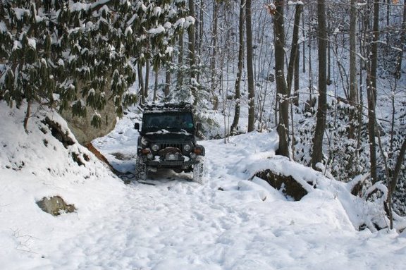
Very boring stuff.
But this is the last major "filter" on the trail, and appears to be
another spot where some decide it's time to walk. After that,
there really isn't much of anything other than the odd narrow spot here
and there. Oh yeah, and one wide, very long, very wet stretch
that looks like another mud-hole disaster. I should have taken
a picture of it and my tracks going past it to the right, which could
have been entitled "Practicing Lessons Learned"....
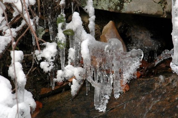
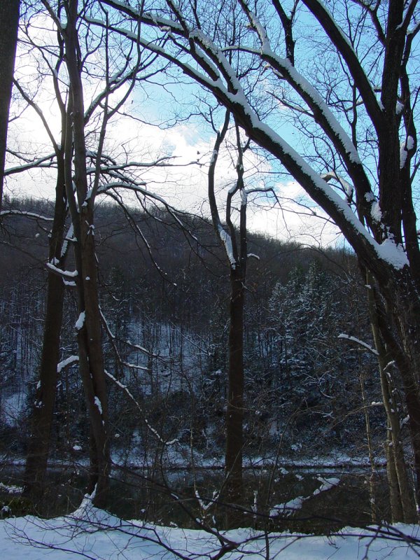
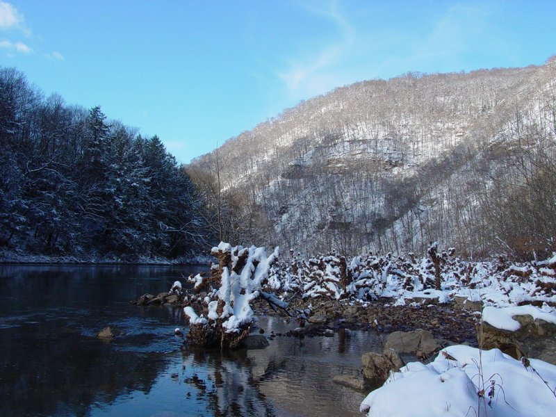
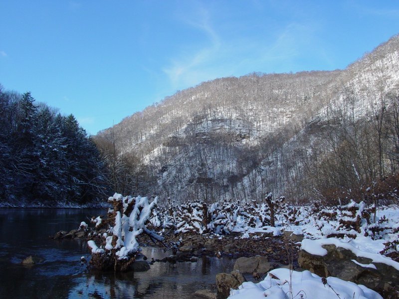
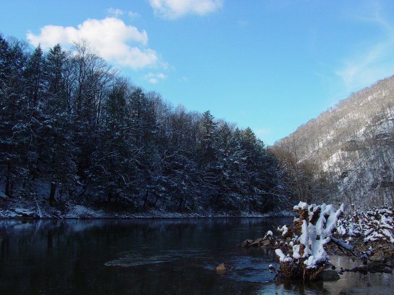
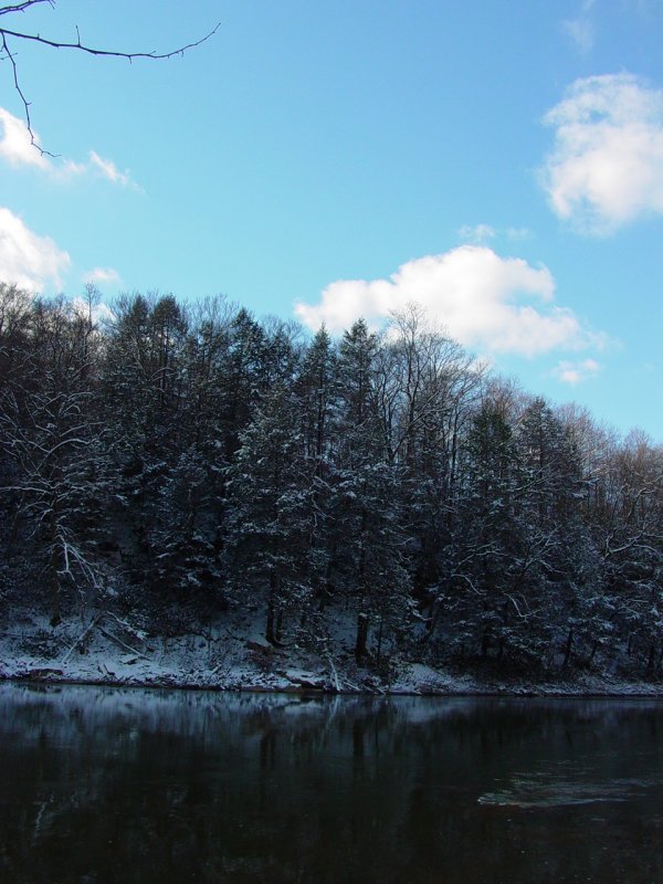
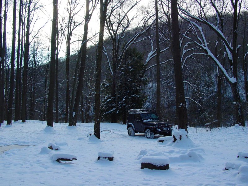
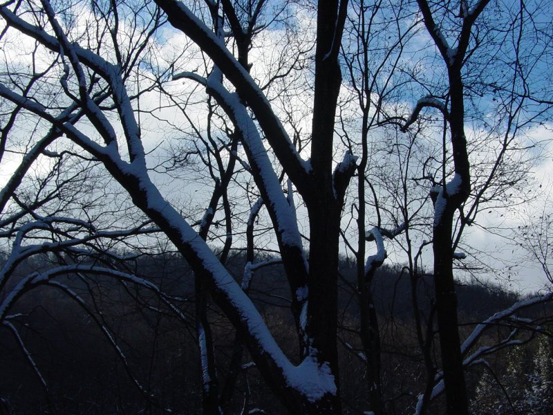
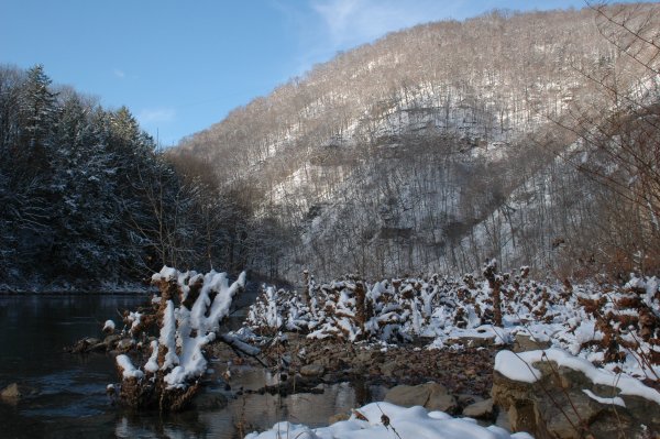
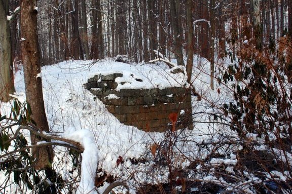
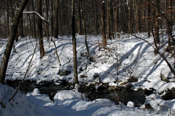
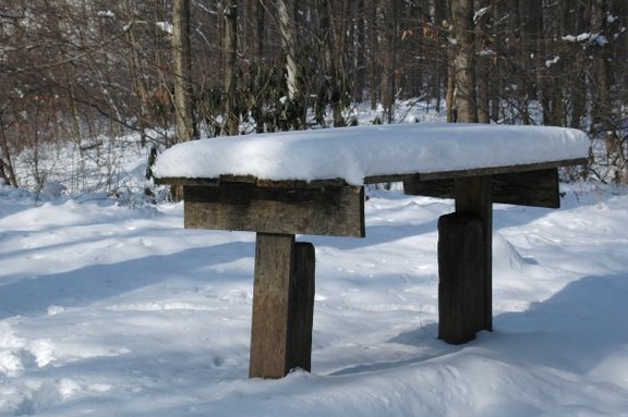
Soon we reached the bottom and Beaver Hole.
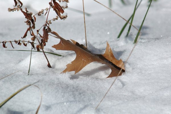
We came to make images, so here are several. There's not much to
say. Put your mouse over the image to get the caption which tells
something about what's in the picture.
We soon found the
evidence of the namesake of this place. I noticed a strange
dragging track in the snow. It was the unmistakable path of a
beaver dragging its tail in the snow.
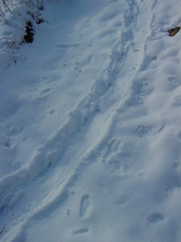
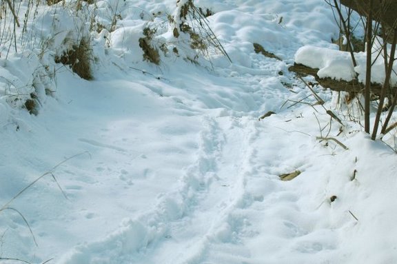
Careful observation
revealed the odd footprints to either side. With no beaver in
sight, we spent some time making images, eating lunch, talking and then
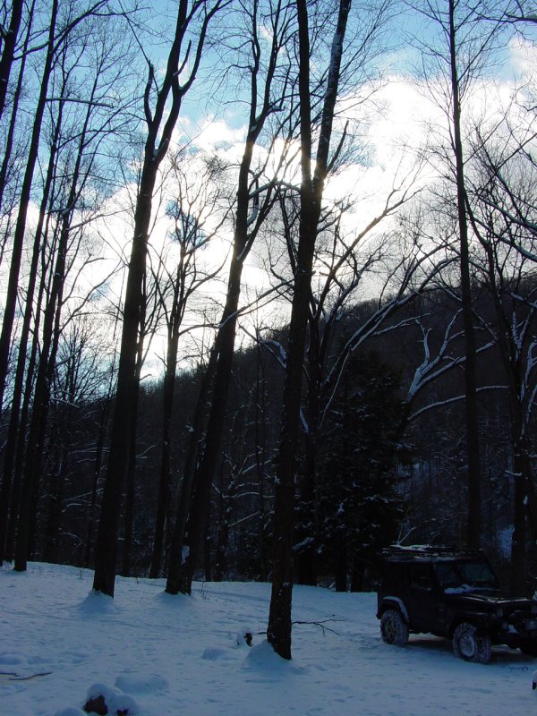
loaded up to make the drive back up the hill.
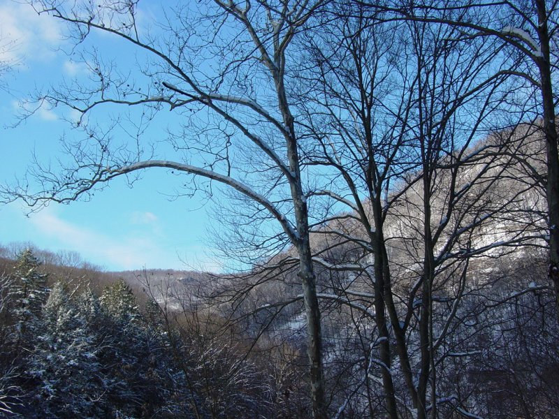
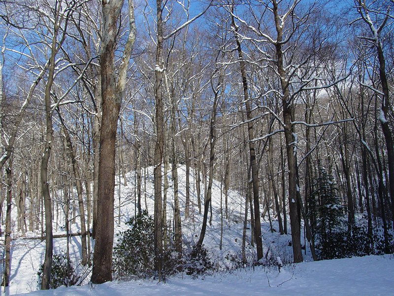
The view of the
Cooper's Rock area was spectacular. With temperatures around
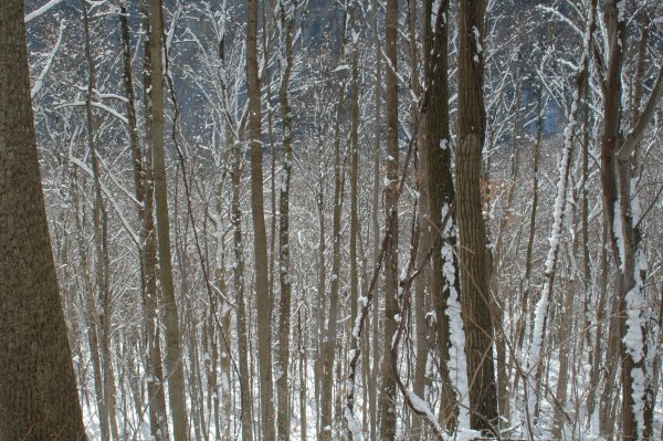
20-degrees, the air was clear. There was no wind so the fresh snow
on the trees was not disturbed. The sun was out with a few clouds.
We were there around mid-day which is perhaps not the most dramatic time
of the day for making images, but I was still happy with the results.


We stopped briefly to
see if we could find
one of the Geocaches that are in the vicinity, but the snow was too
deep and it didn't seem worthwhile to dig around looking for
it.
On the trip back out
we had no problems, staying in the tracks I made coming down.
Soon we reached pavement and the main road. On the way back to
Mike's truck, I took Sandy Springs Road and showed him that area.
There's not much that
can be said about Beaver Hole that would improve on the pictures we
took. It was crisp and clean, beautiful and very very quiet.
Just the kind of place for a day like this!
Epilogue
When I got
home I put the Jeep back on the battery charger for a couple more hours
because even though the Jeep started on it's own, the voltage meter
indicated that the battery was down a couple volts. And this time, I got off the trail without incident!
