Measure Twice, Cut Once...
Prologue
Last month
I made a third attempt to find the
Down the Cheat Cache. It turned into a
minor disaster. It took
me a month to clean out the Jeep and to get some problems corrected.
I barely had time to finish all these things before making a
compulsory Camp Jeep 2007
Pre-Run. And the Willys Points got stretched to the limit.
Another trip Down the Cheat would have to produce results without
carnage or I was going to have to stop going... Since I like the
trail the prospect of coming back empty handed did not appeal to me...
There's "fate" and
there's "karma". I'm not superstitious but I was starting to think
that finding this geocache just wasn't in the cards for me. When Ted
and I went down to try this one
the first time, we got crossed up thinking we could take a trail
that lead along the side of the canyon and reach the cache without
climbing straight up. That didn't work well for us and we had
quite an adventure. By the time we got back to the Jeep, we had
run out of time to search for the cache.
Next, we went down just for a family
outing. This trip was
routine but reminded me how I have become accustomed to these types of
trails. Not everyone that came with us on that trip was as
comfortable on the way in as I was. Still, we had a nice time at
the Cheat River and made it home just fine. And I've already
alluded to the ill-fated third trip.
So here I was minding my own business
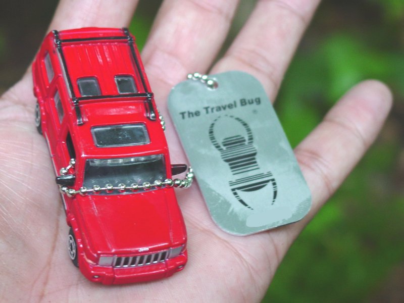
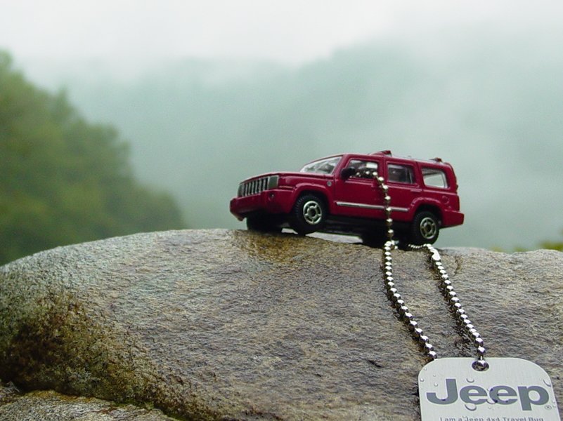
when a notice came Sunday from Geocaching.com that Aquacache had place a
brand-spanking new 2007 Red Jeep Commander Travel Bug in - you guessed
it - the Down the Cheat Cache... Now I really had something to
think about.
The good news was that I had done a
fair amount of preventative maintenance and the Jeep was fresh off the
Camp Jeep Pre-Run where I finished off a
dying Optima battery. A week earlier I had received my
WARN winch back
from the manufacturer all fixed and working nicely. Everything
else was working well including the
stereo. In short, I felt confident the Jeep was in shape for
another pass at this cache.
Monday I waited, thinking I would go
on the Weekend. Tuesday it started eating at me that if I waited
somebody might go down and beat me to it. Wednesday morning I
couldn't stand it anymore and put the full soft top on, loaded my tools
and winch kit, water, hiking sticks, etc., and after airing down and
disconnecting in the driveway, headed out for the trail.
Before I reached Tyrone-Avery Road it
was raining; by the time I reached Cales the WVDOH was checking the
Jenkinsburg
Bridge road to see if they should close it; by the time I reached
the trail head I was beginning to question my own sanity.

I promised myself if the trail was a
mess I would back up as far as I had to turn around and come back out
empty handed. I kept reminding myself not to drive into the mud
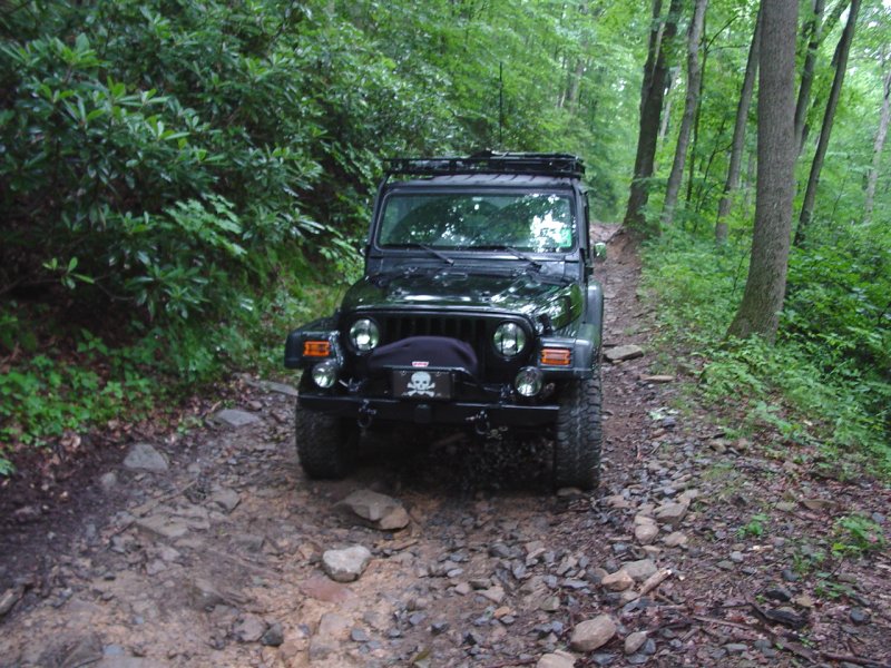
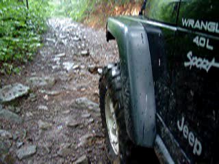
hole (how could I ever forget anyway...?). In the photo above note
the driver's side d-shackle on the front bumper is hanging by a thread,
about to fall off...
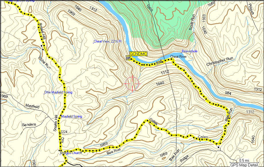
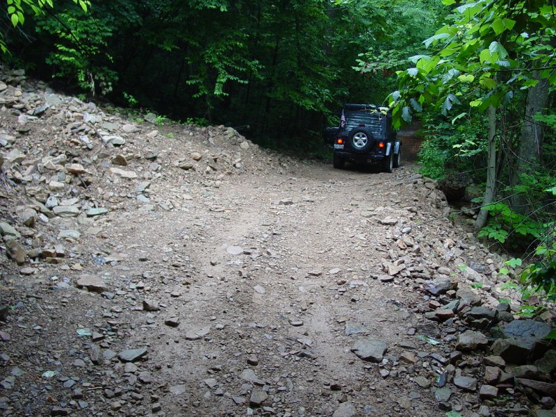
Trail
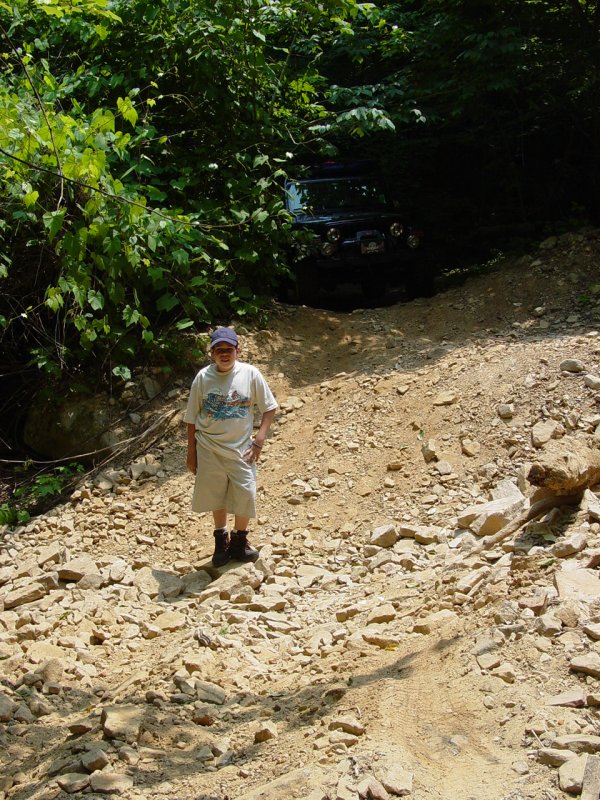
My first big surprise came when I
reached the section of trail where the hill had slipped leaving a
moderate obstacle. "Someone" (the DNR?) had come in with heavy
equipment and completely repaired the trail. The slip was still in
evidence above and below the trail but the trail itself was the
smoothest patch of ground all the way down to the Cheat! The one
obstacle that required consideration was completely gone! Here are
Before and After Photos. I admit it's hard to get a sense of the
difference but consider the five-foot boy in the Before picture
is standing in the bottom of the slip and the top of his head is just
barely even with the trail behind him. The After picture
shows a flat gravel road. Big difference.
 |
 |
| Before |
After |
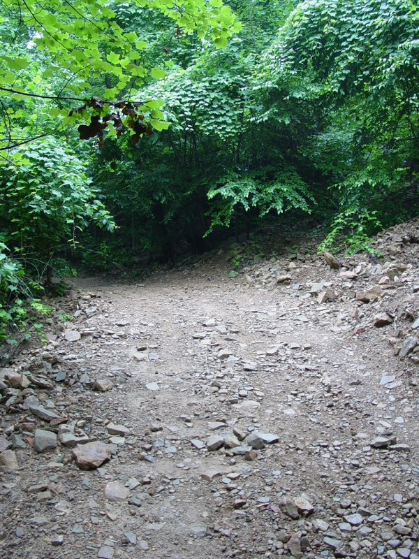
Another shot of the repaired section
of trail facing down toward the river. The "bypass" is still on
the low side of the main trail for anyone looking for foolish
adventure...
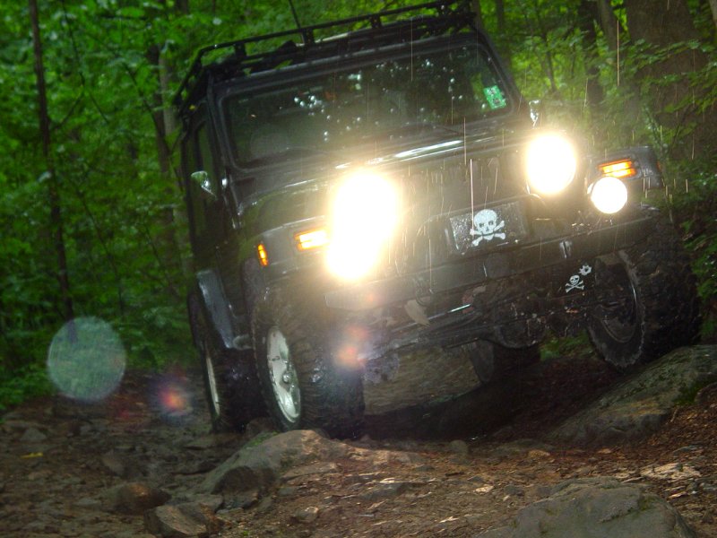
Not long after this it started to
rain pretty hard. I stopped for a gratuitous trail shot or two.
Note in the shot below the aforementioned d-shackle has fallen off and
disappeared. I took a walk along the trail and could not find
it...

I reached the bottom of the trail at
the Cheat River in about the usual time. Waiting for me was my old
friend "mud patch".
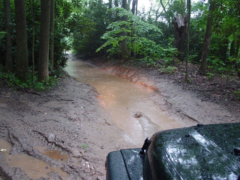
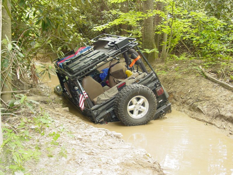
Consider the relationship to my Jeep
and the muddy area in this picture taken from my last trip....
Sorry to disappoint but I have "been there - done that" and I do indeed
have the T-Shirt...
This time I just sat in my Jeep, ran
some movie footage and taunted it in true French form...
Movie
Satisfied that nothing was going to
crawl out of the cow-flat smelling oooze and get me, I took the bypass
and soon parked on the side of the trail. I loaded my pockets with
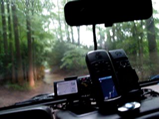
GPSr, ID, Cell Phone. I took my camera and my geo-swag bag, and a
couple walking sticks. The heavens opened up and poured rain nice
and hard in my honor. Gawd I love this job!
I walked the remaining .56 mile of trail and turned up
the canyon wall when the GPSr indicated the cache was at a 90-degree
angle to the trail. Just as I reached this point, a boat with
three men in ponchos appeared slowly coming up the Cheat River. It
looked for a moment like they were looking for a spot to land. I
was not happy with the prospect of sharing this cache after so many
failed attempts. I stayed out of view and watched them for a
moment and then quietly went back to my main concern - the location of
the cache.
The canyon is steep and owing to the rain, it was
slippery. The Stinging Nettles were not a great choice for
hand-holds so I climbed a rocky erosion flow that was nearby. It
was slow going and even though it was raining it was still pretty hot
and consequently miserable.
As I climbed the canyon I could hear
the men talking though could not understand what they were saying.
I just kept climbing until the GPSr indicated that I was at the same
elevation as the cache. The only problem was that the accuracy was
fluctuating considerably so at any given time, without moving I was
between 20 and 200 feet from the cache!
Because the footing was so treacherous, I chose to sit and drink some
water and watch the GPSr for times when the accuracy was high, and
combined with my electronic compass, homed in on the location of the
cache little by little. Pretty soon I found it! At LAST!

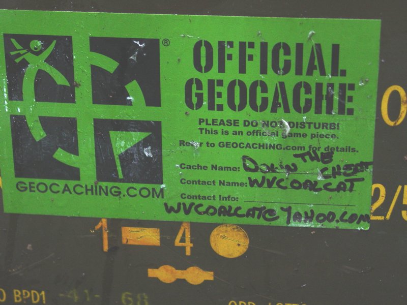
I sat down and put all my stuff
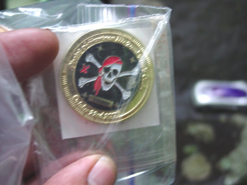
aside. When I opened the cache I found the Red Jeep Travel Bug.


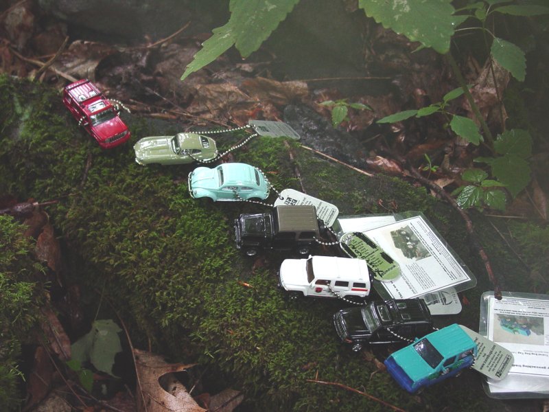
I laid out my personal travel bugs
and coin and made some pictures.
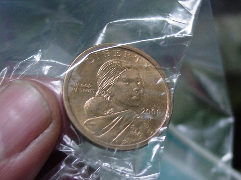
I left the Susan B. Anthony coin and
signed the log.
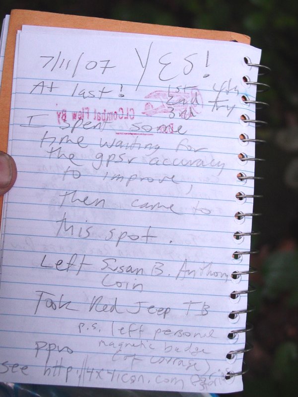
I also left my personal magnetic "badge of courage" to
commemorate my several abortive attempts to find this cache...
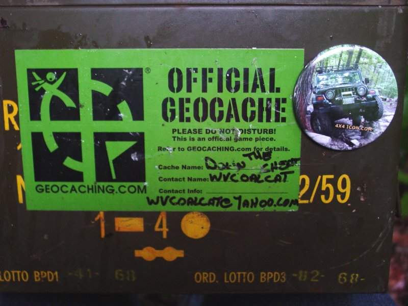
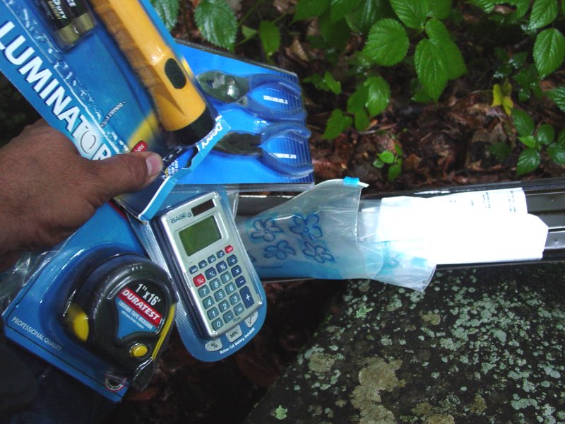
The cache contents...
I packed up the cache and carefully placed it back where
I found it. While I had my gloves off I got a taste of the
Stinging Nettles. Grateful to have worn long pants and my French
Army coat that covers me almost to the ground, I began the slow tedious
process of picking my way back down the canyon to the trail by the
river.
When I got there I walked in the rain back to the Jeep.
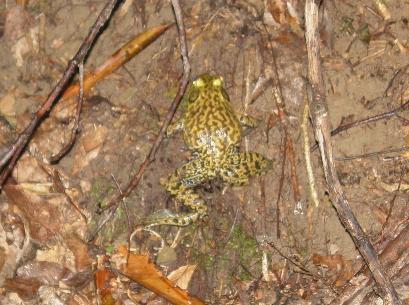
Along the way I flushed out a puddle jumper.
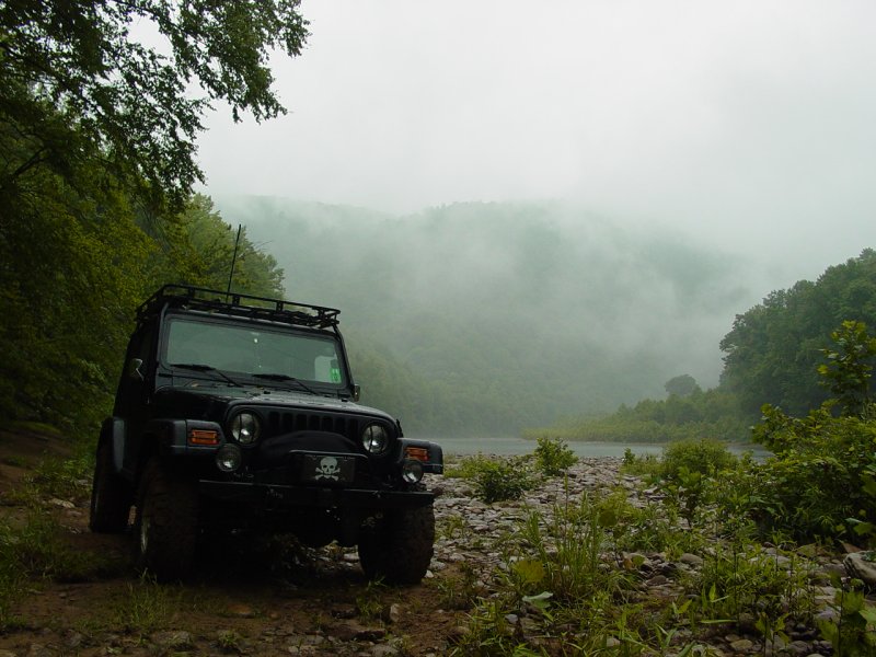
As I have each time I come down, I took the Jeep down to
the river and took some pictures.

After that there was nothing to do but drive back up the
trail to pavement and to the rest of my day. Along the way I had
some fun with the camera and made this boring and very long video....
After a year
and few days, I finally claimed this cache!
