Prologue
It was late on
Saturday and with everyone away, I started thinking about getting out to
make some images. I wanted to take the Jeep and thought it might
be nice to invite someone along. Also I didn't want to end up in
the middle of nowhere and have a mechanical failure or other problem and
have no one to share this fun with... I sent Sam an email message
and then looked up his phone number and called him. Given the
lateness of the hour (it was about 1:30pm) I figured he would be out or
have other plans. To my surprise and pleasure, he was at home
fixing a door knob. But other than that, he had the afternoon and
evening open.
We discussed
destinations and agreed that a trip down to
Pike Knob was a little too
much. Even though we could be on the summit for sunset, we'd still
have the four hours each way to swallow. Instead we decided to do
something in the Cheat Canyon near my house. He invited Ross and
soon we had a plan.
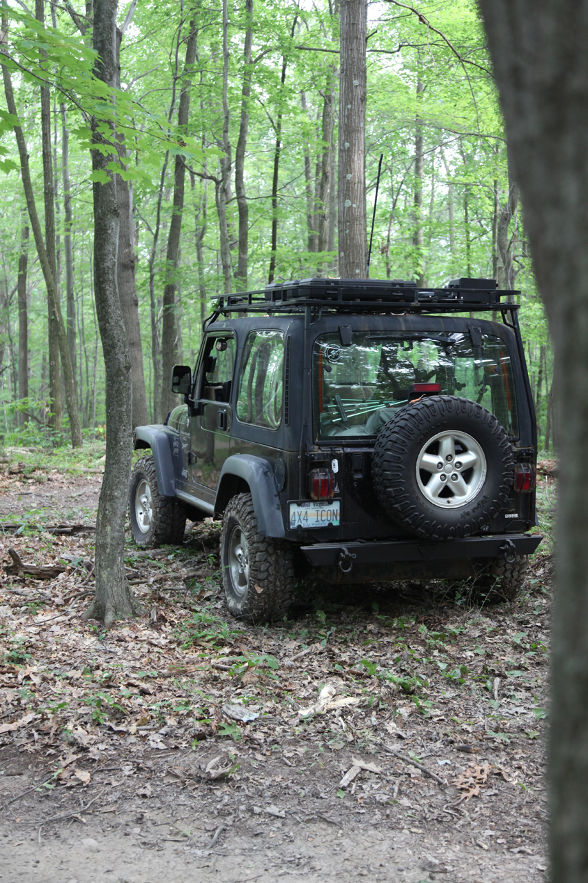
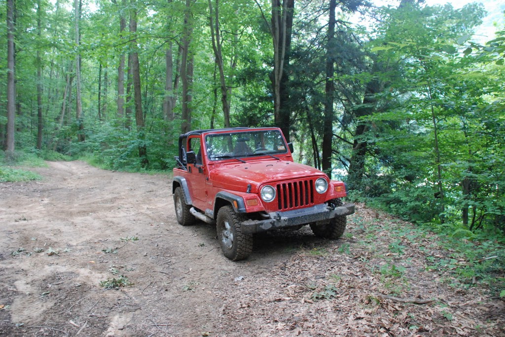
I loaded up my
camera and a
couple lenses, programmed the GPS,
grabbed my iPod, put some drinks in a
cooler, aired-down and
disconnected my sway bar.
Then I headed out.
Muster
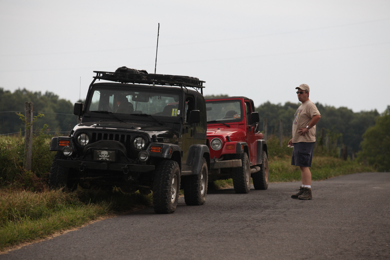
We met at the BFS
gas station in Cheat Lake. Sam topped up his tank, aired down and
disconnected. Then we drove down the road and picked up Ross.
In an attempt to make the trip run a little longer I chose to follow
Sandy Spring road almost to Bruceton Mills, backtrack on pavement to
Pisgah ("Pisgy") then drop down to Beaver Hole, the primary destination.
My last visit to Beaver Hole was in
January 2008
Soon we were on
Sandy Spring Road.
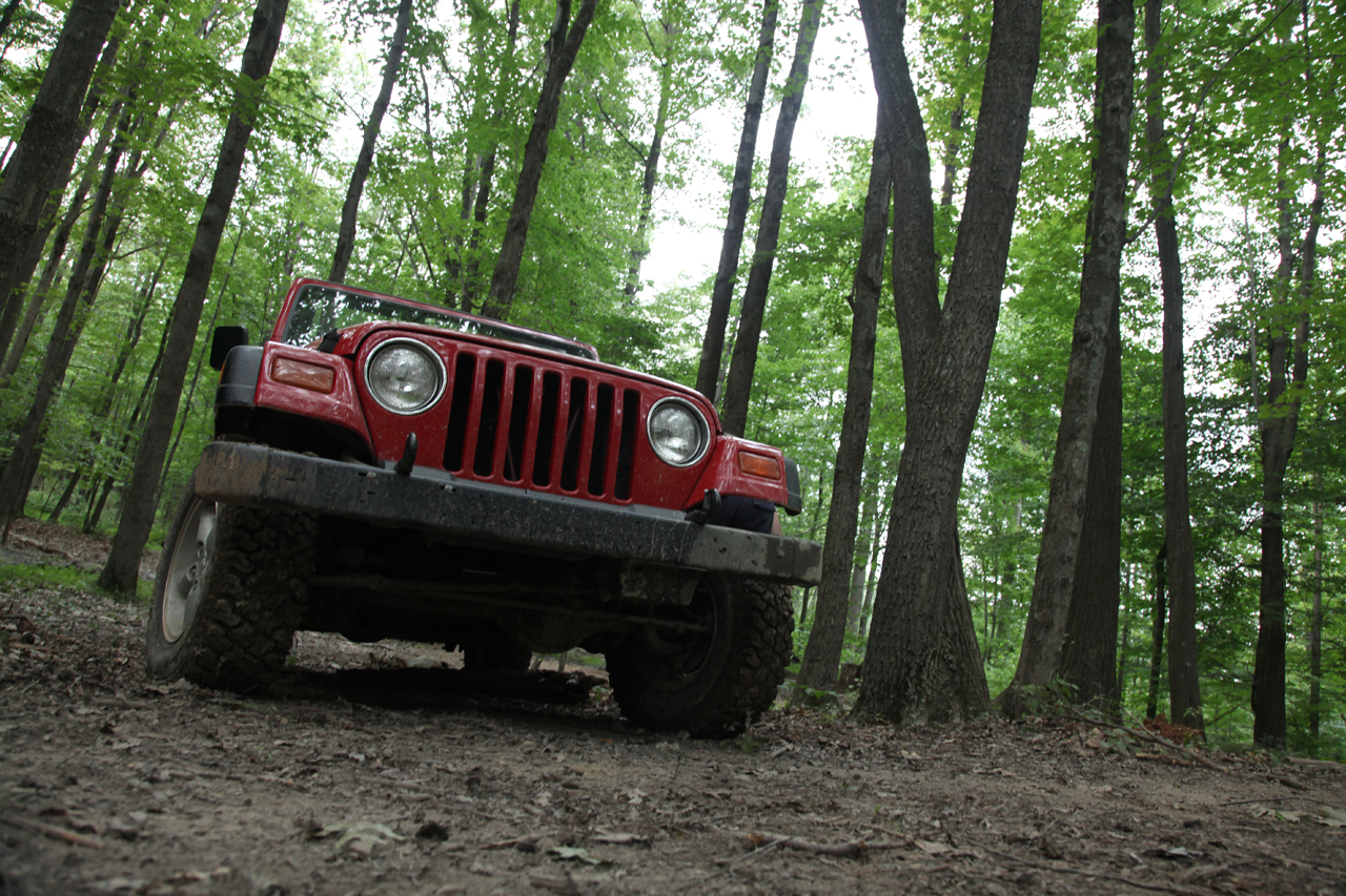
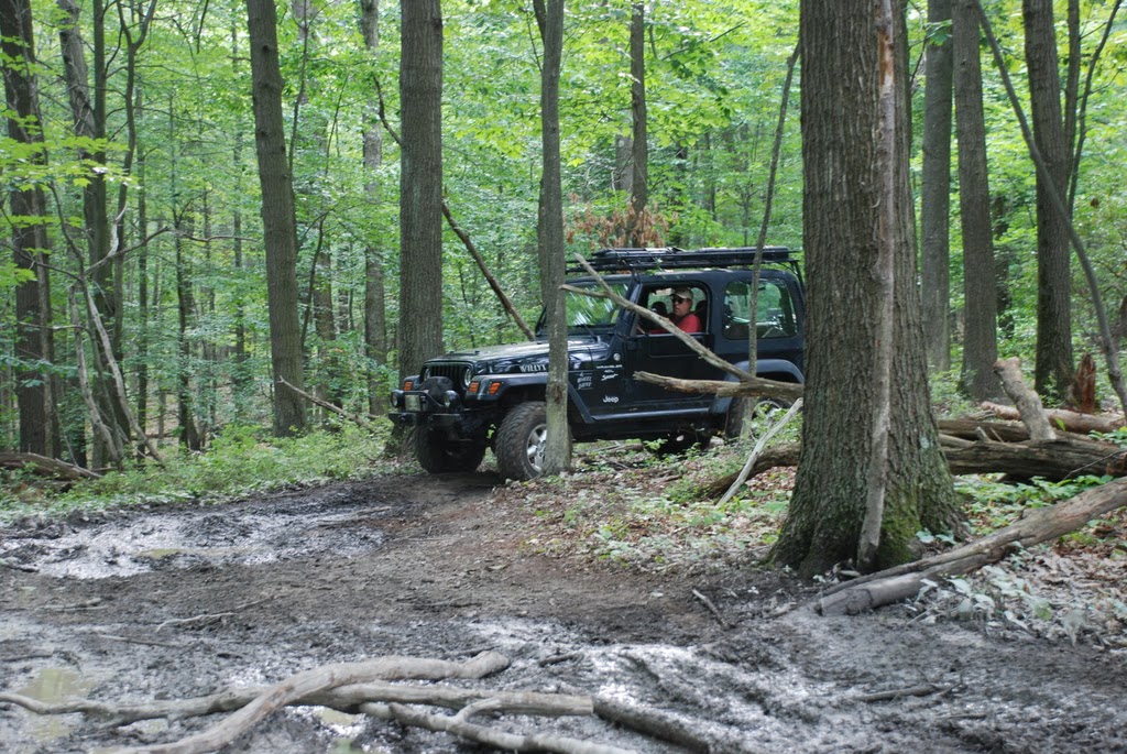
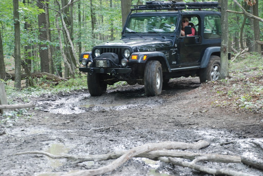
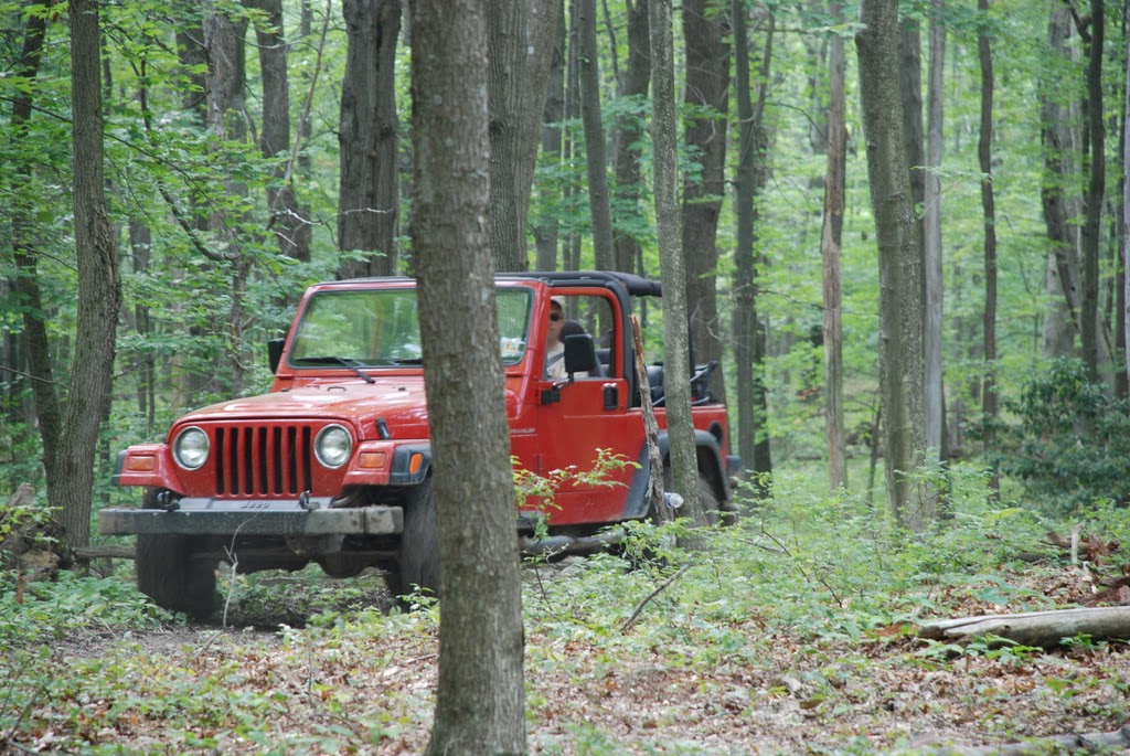
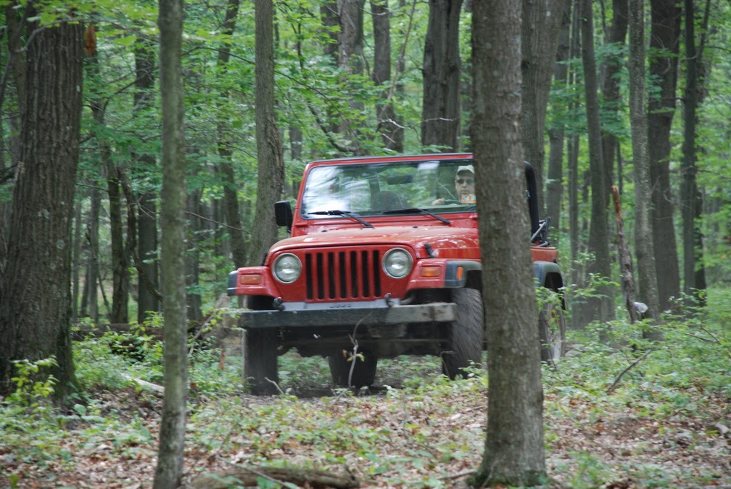
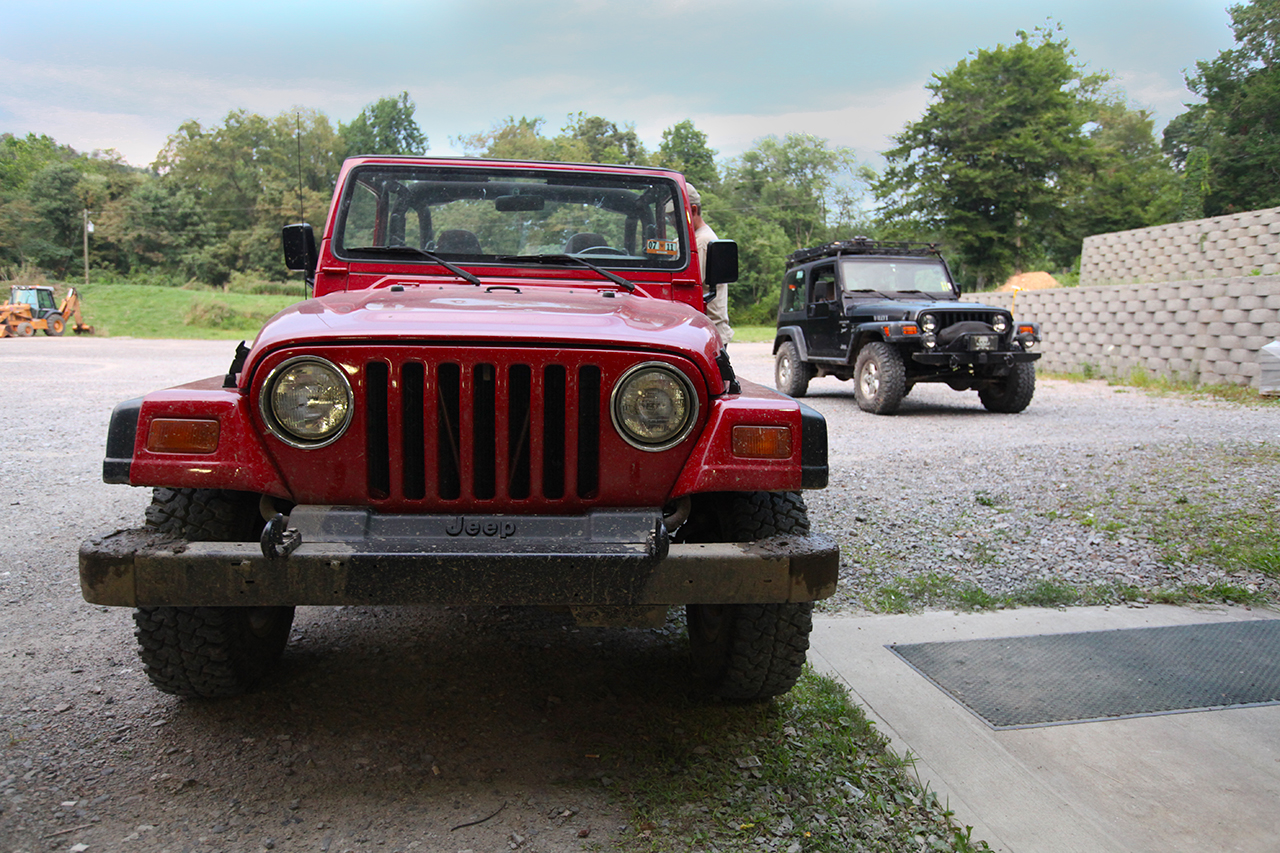
Trail
Sam had consulted
me a few weeks back about a Jeep purchase. It sounded like he had
a good vehicle. He decided to buy it and after a few touch ups
(tires, front hubs and universal joints), it looks like he got a great
machine.
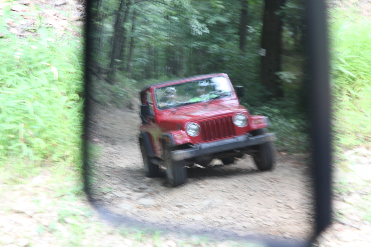
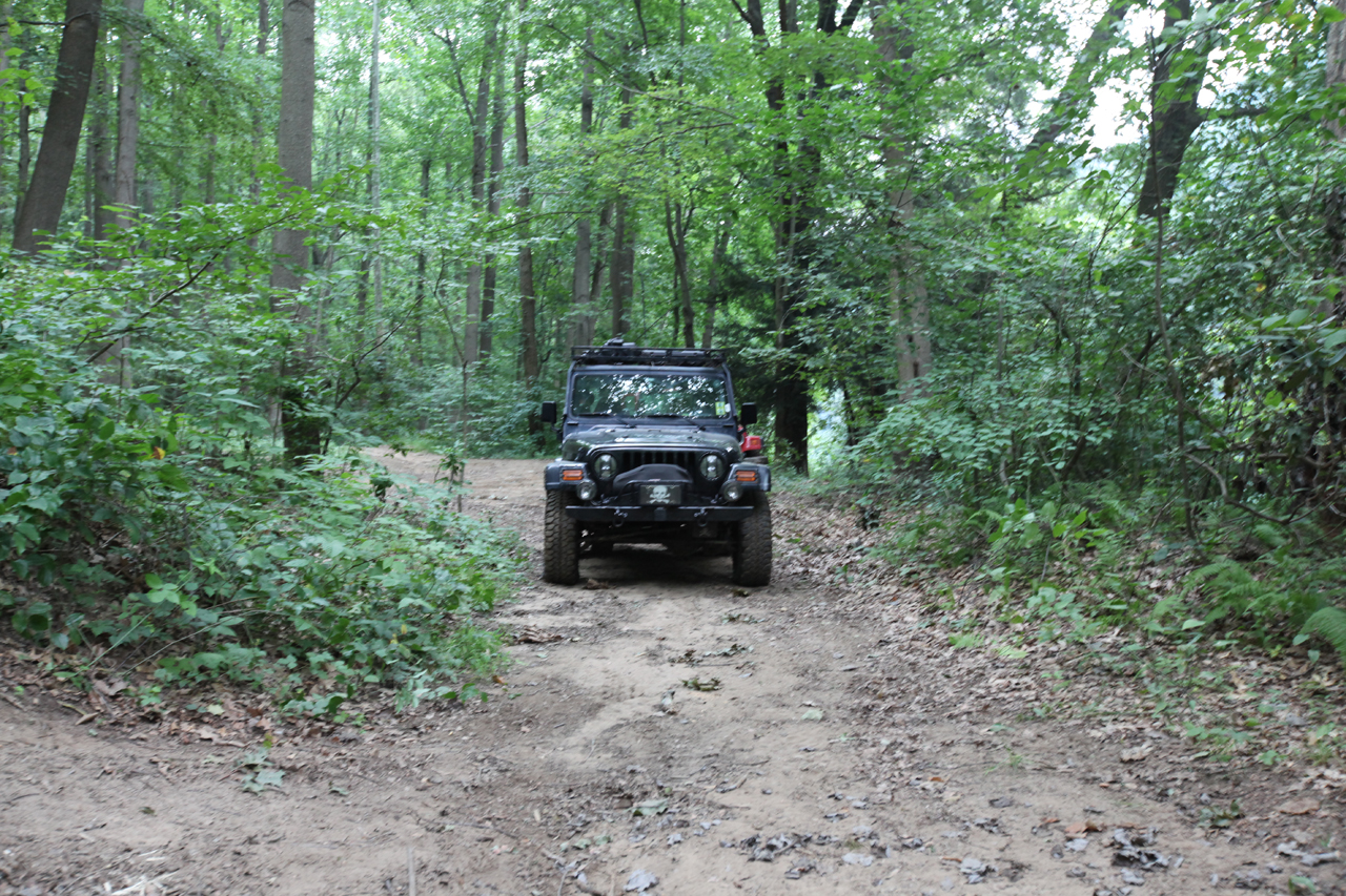
We drove all the
way to Ryan Hollow near Chestnut Ridge and then hung the left to follow
CR 2. I have traveled this road
once or
twice... The last time
I went through, trees had fallen and we did some bushwhacking.
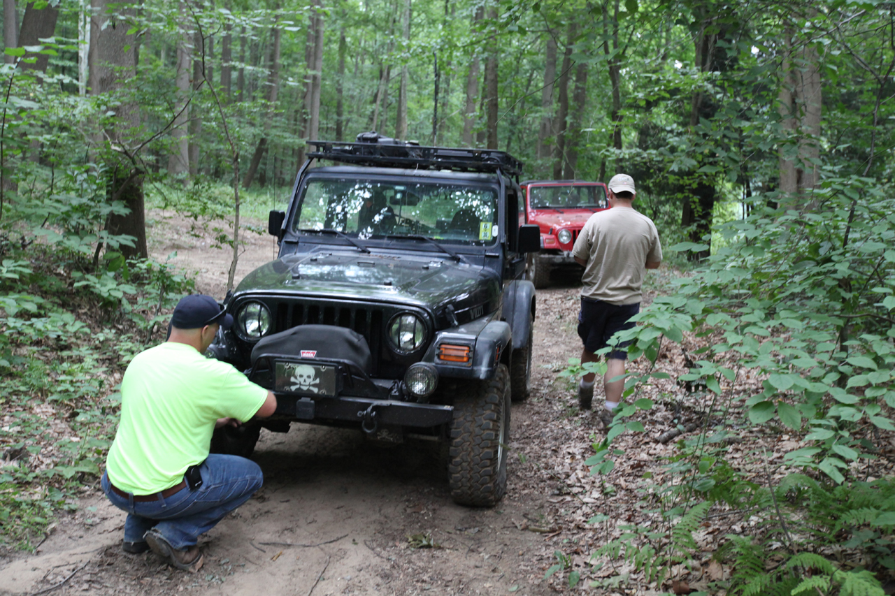
There was also a well loved mud pit in the middle of one section that we
usually skirt. When we reached the mud we took a quick break.

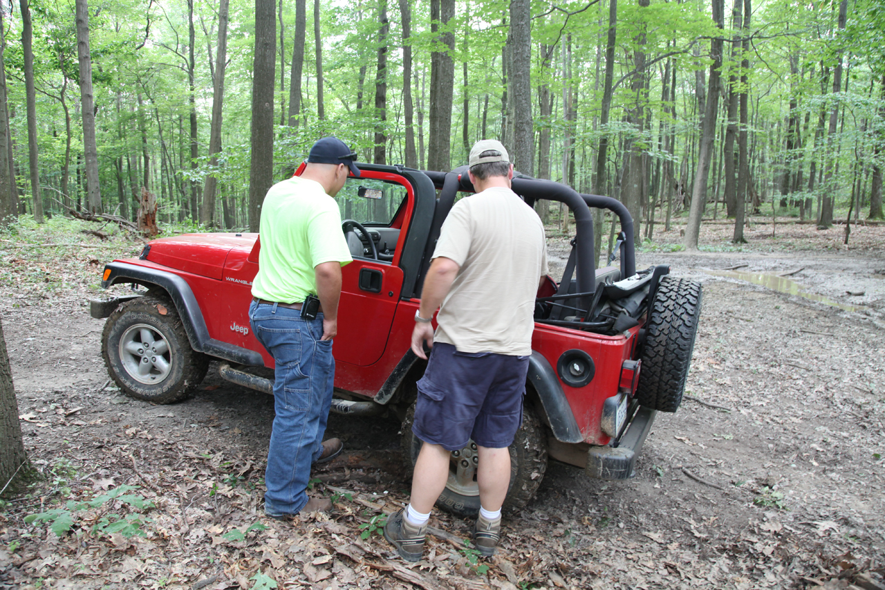
  
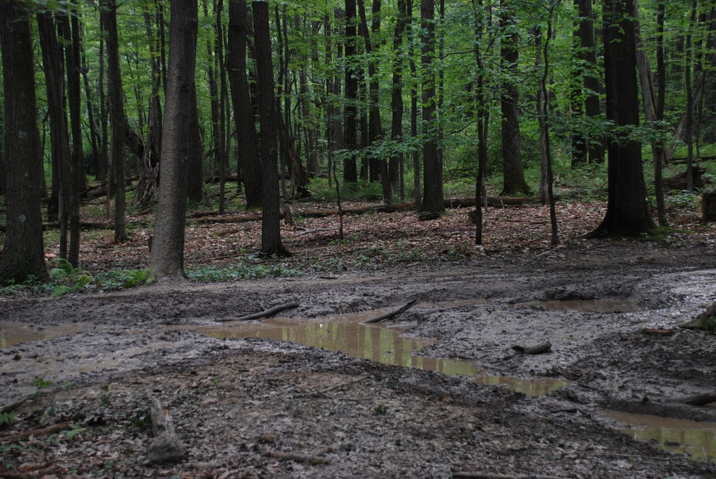


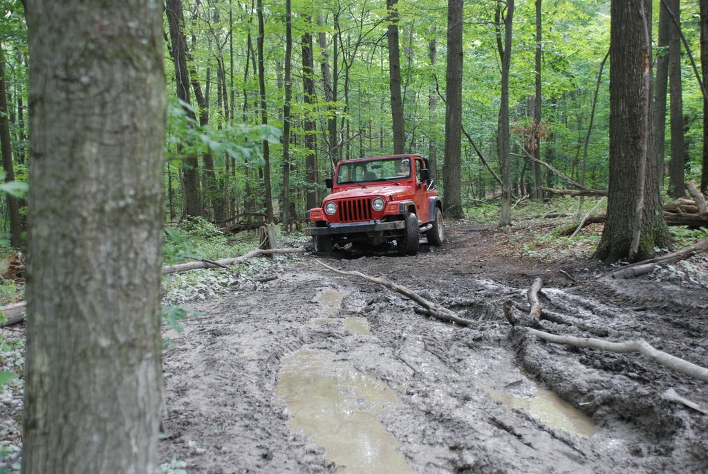
  
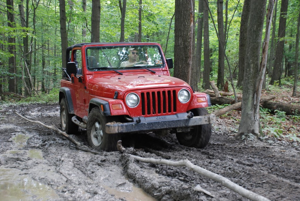
  

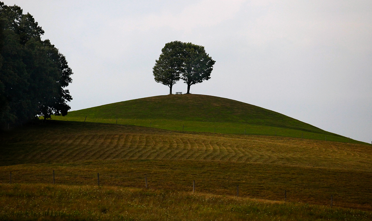
We worked our way
past the mud pit and enjoyed the rest of the drive. The trees that
had fallen were cut out of the way, so we didn't have to take the narrow
ATV go-around. I made another attempt at recording the knoll with
twin trees and picnic table, undoubtedly someone's favorite spot...


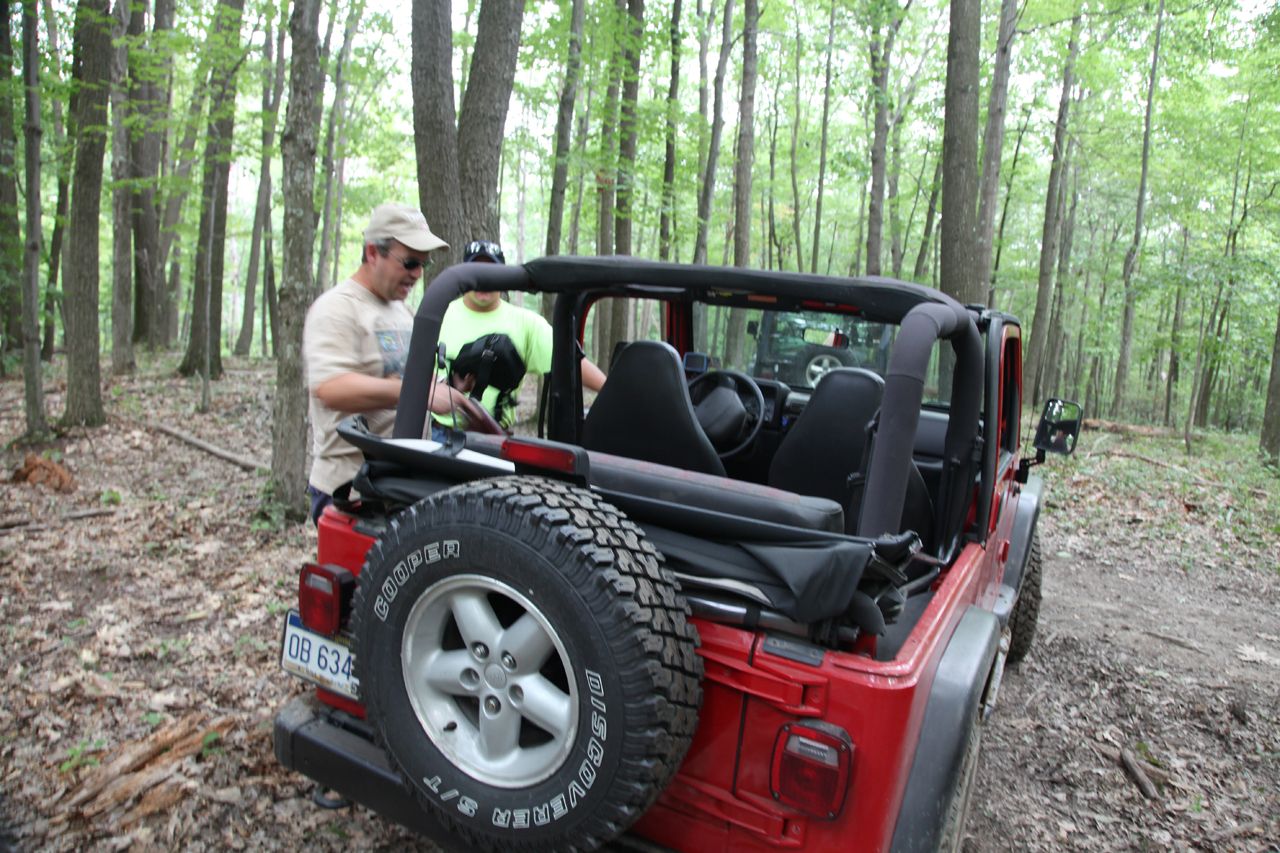
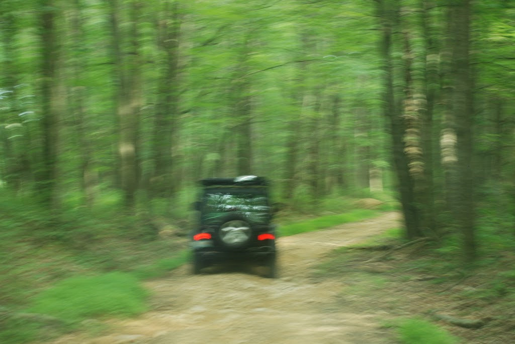
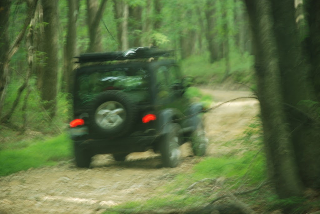
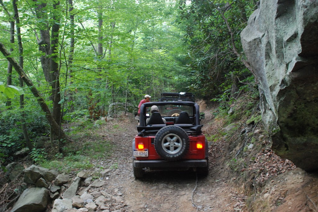
We backtracked to
Pisgah Road and soon reached Beaver Hollow Road. We drove down the
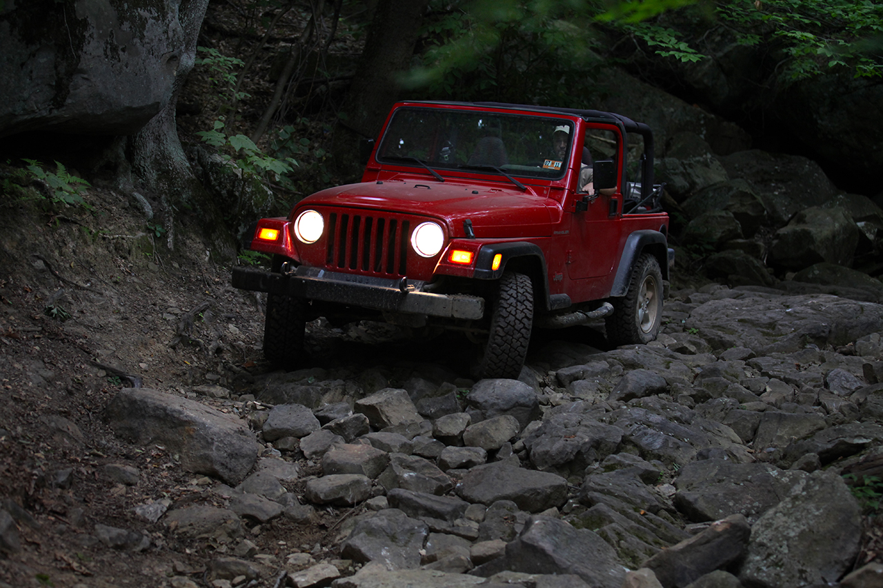
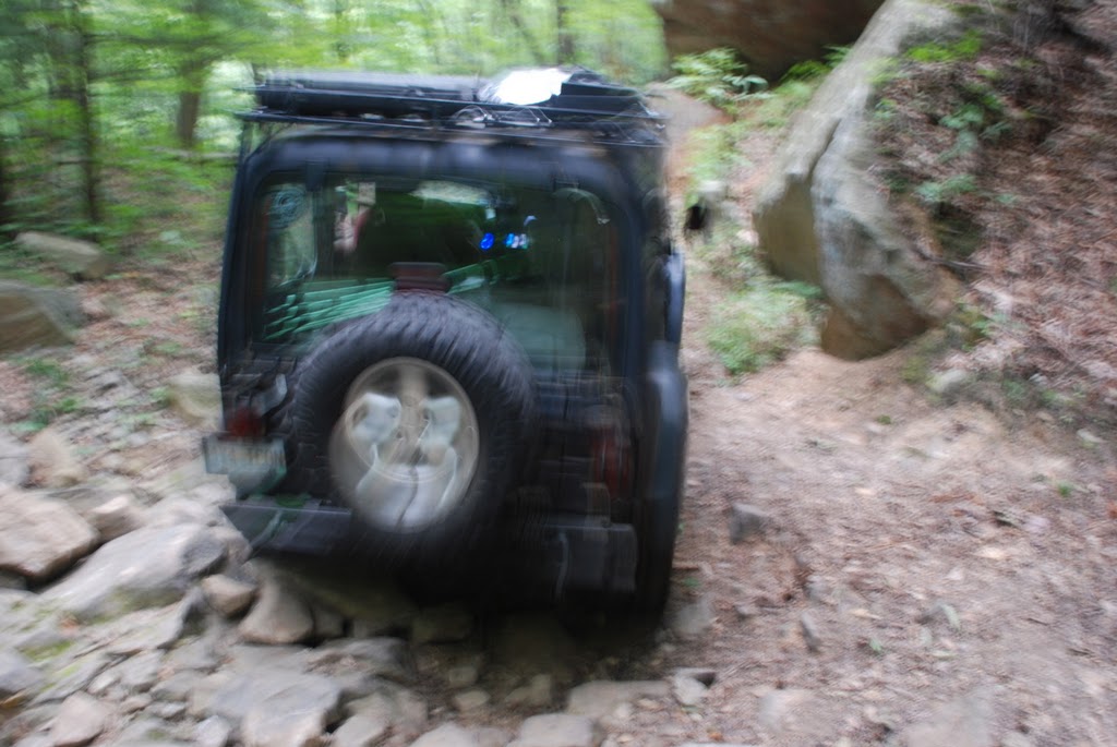
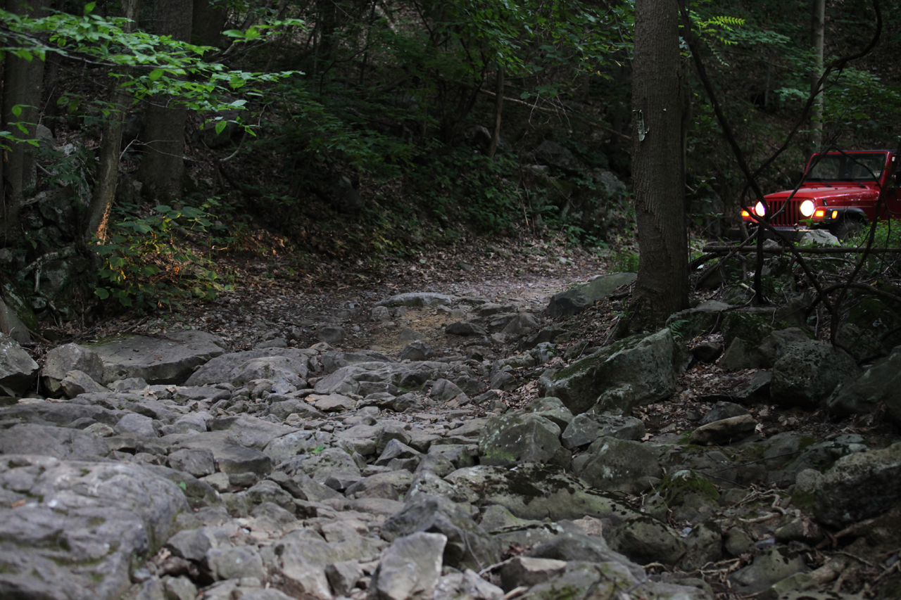
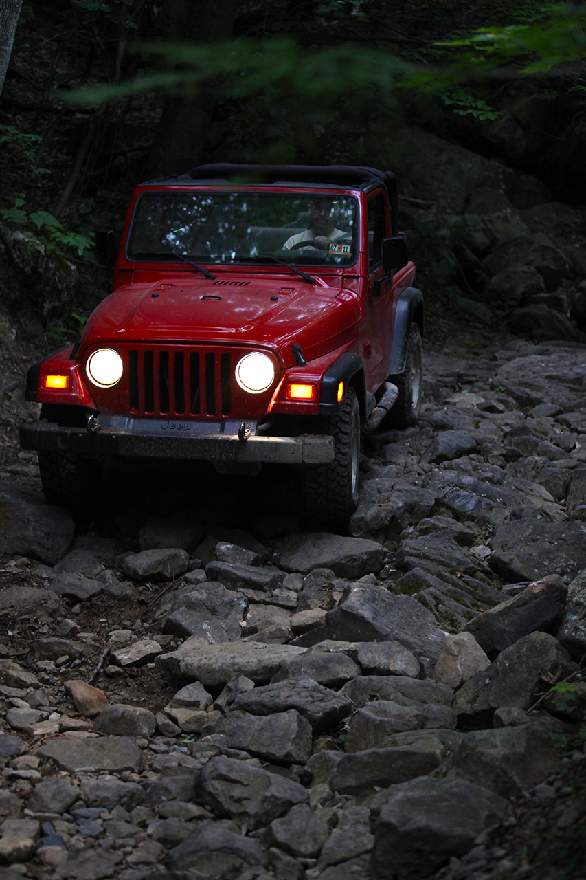
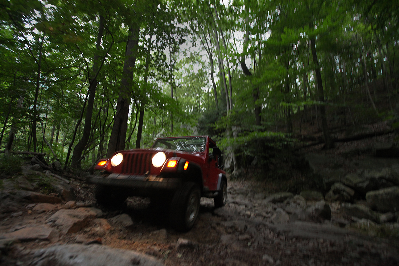
trail and gradually the road got rougher and rougher, the ruts deeper
and deeper, the path more and more narrow. Pretty soon we were on
a shelf road with an attention-getting view from the driver's side of
the steep canyon wall dropping away to the river. The usual wisdom
of shelf roads comes back to mind - nothing is more important than
staying on the road...
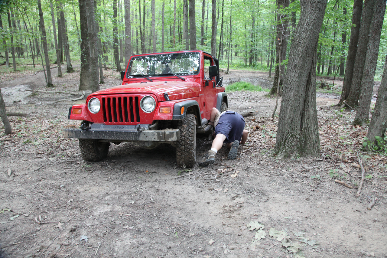
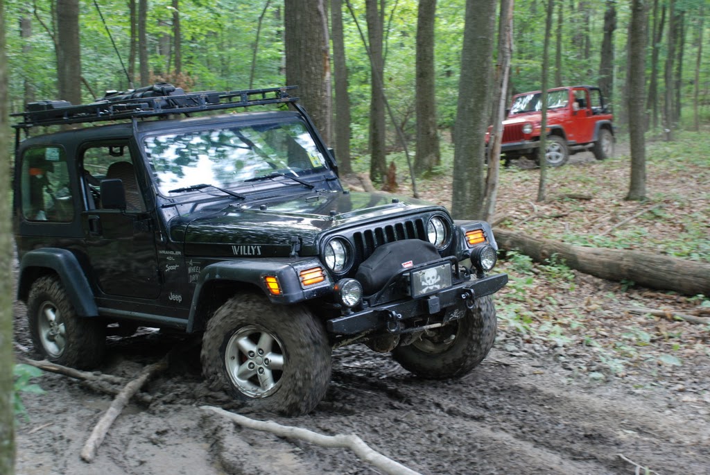
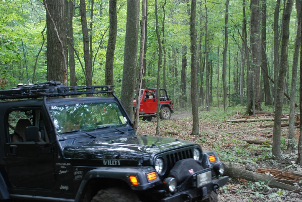
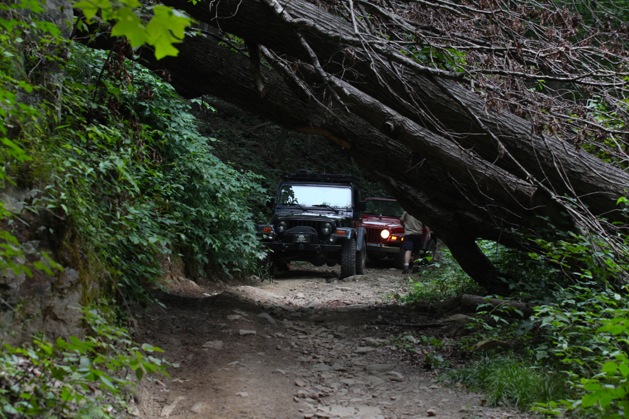
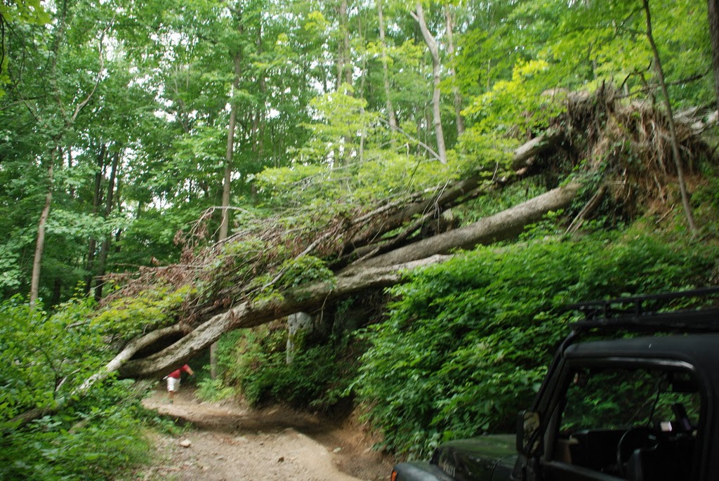
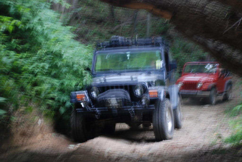
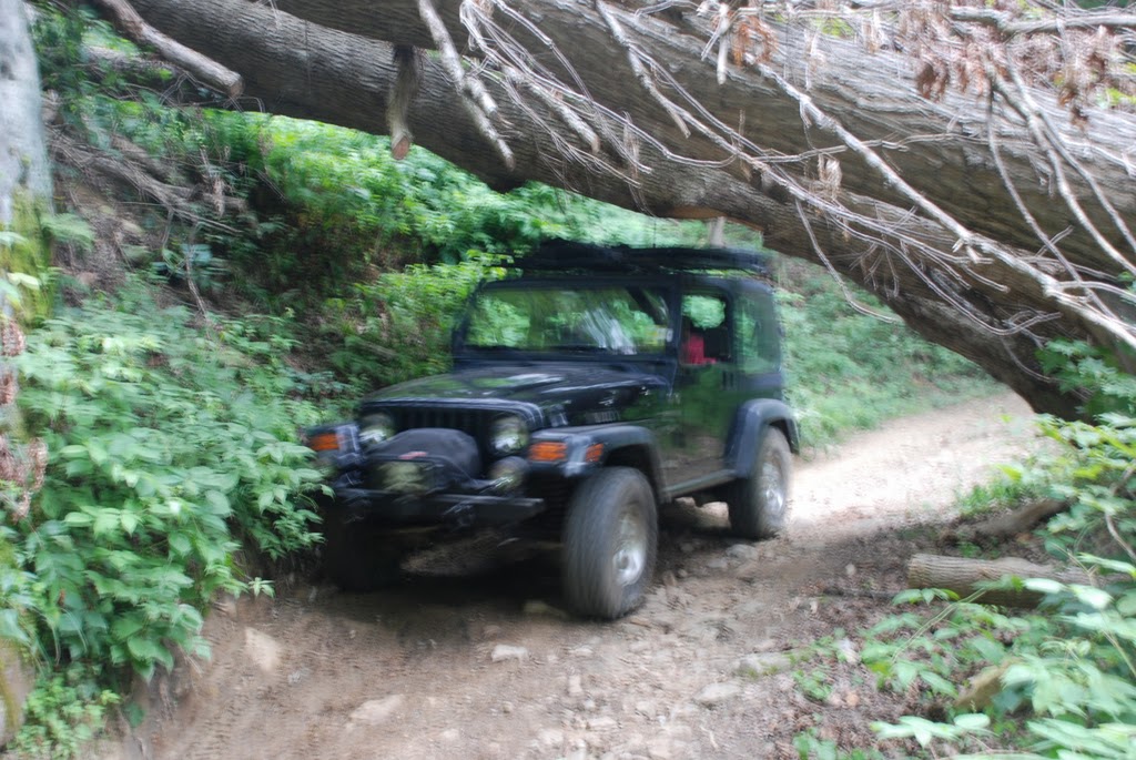
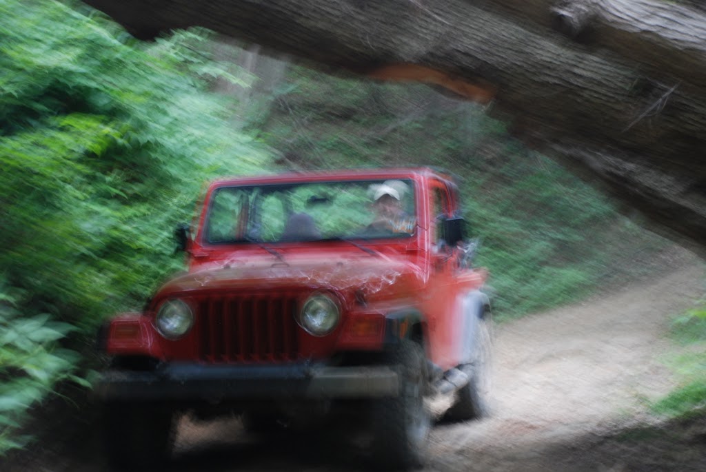
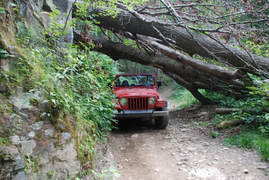
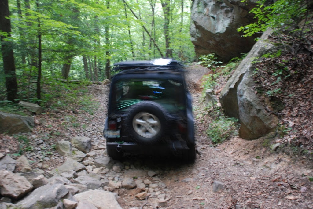
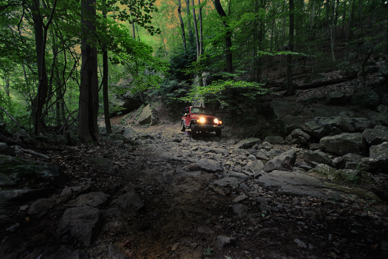
The storm had taken
it's toll. The road was no worse for wear but there were some
fallen trees. This one had been "clearanced" by someone with a
chainsaw, taking a corner out of the underside to allow passage of a
vehicle. This proved useful...


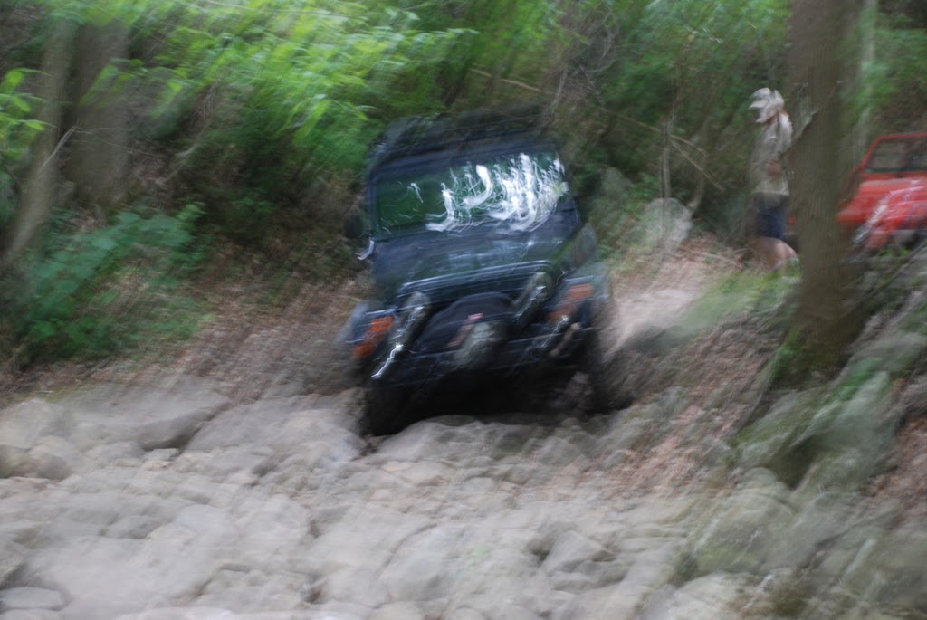
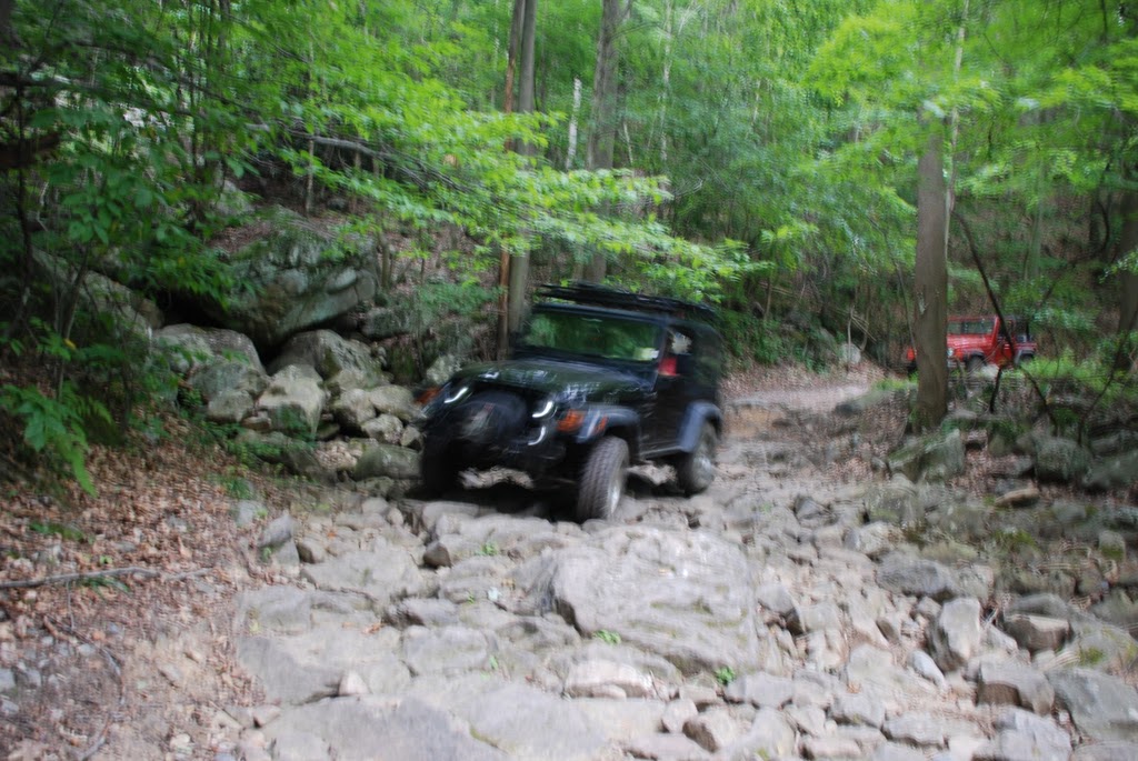
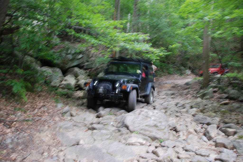
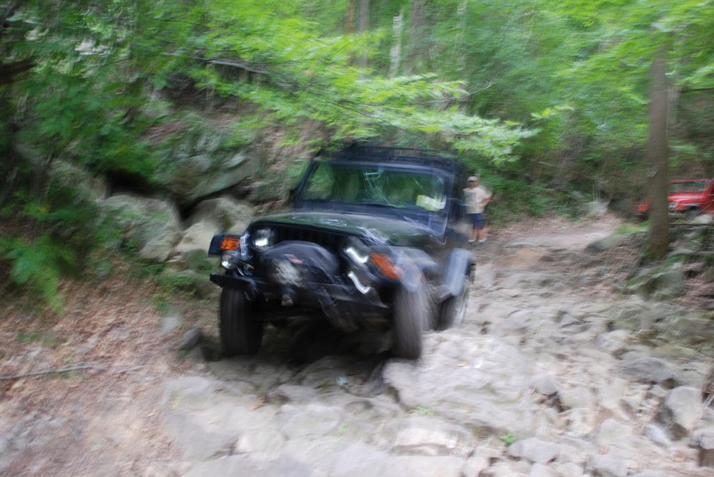
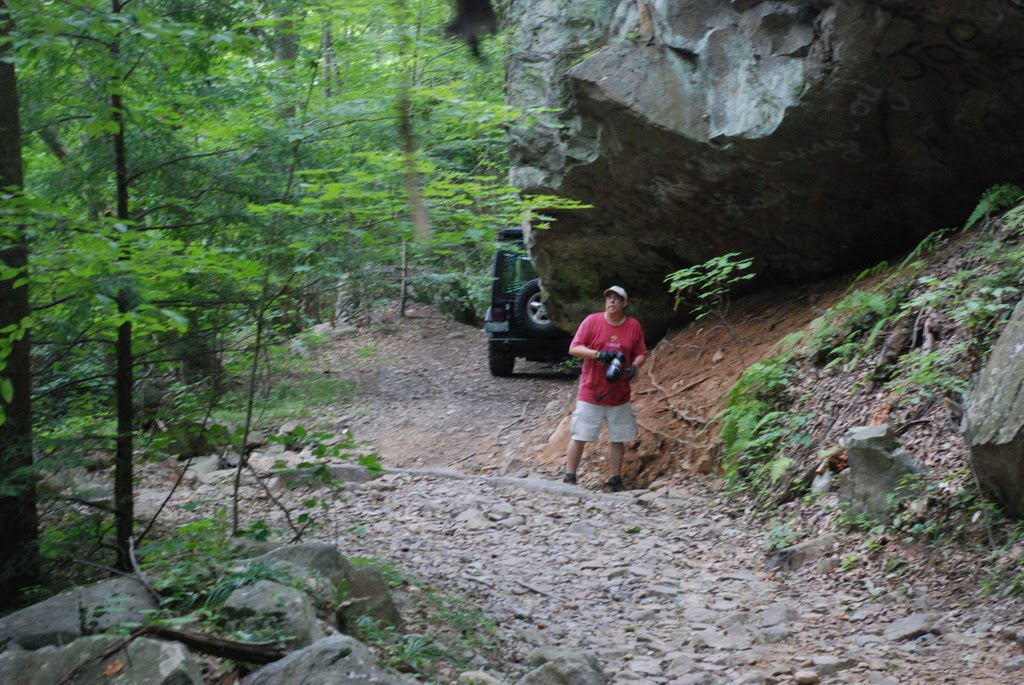
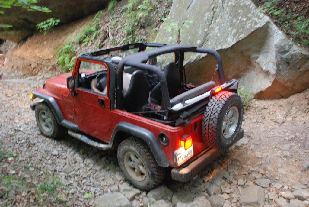
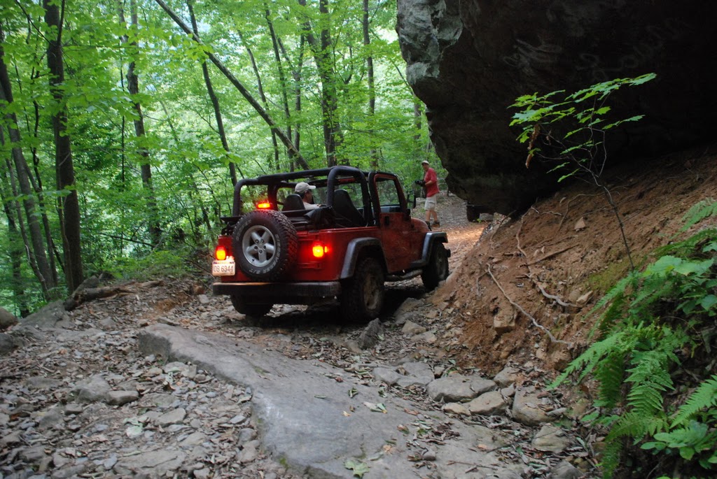
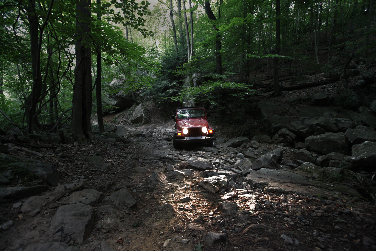
A little further
and we reached Christopher Run. There was no water so our crossing
would be challenged only by our ability to pick a path through the dry
bed of the stream, strew with rocks of all sizes, some stable, some
squirrelly...
   

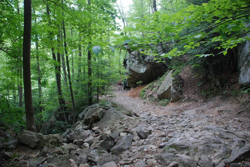


Along the way we
came upon a man and a woman, each holding a small infant, walking down
the trail. They were heading back to their campsite at the bottom,
ahead of friends who were exploring. They wanted to get back
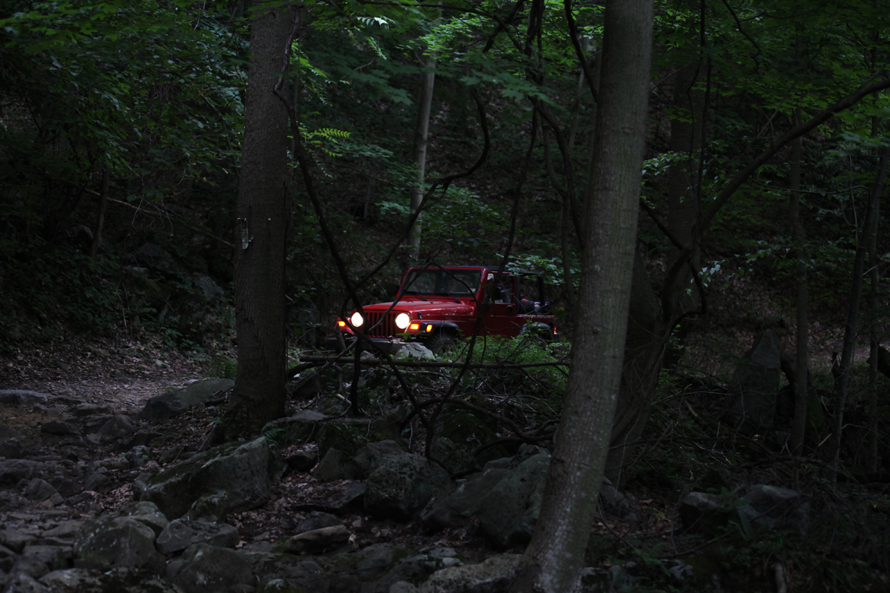
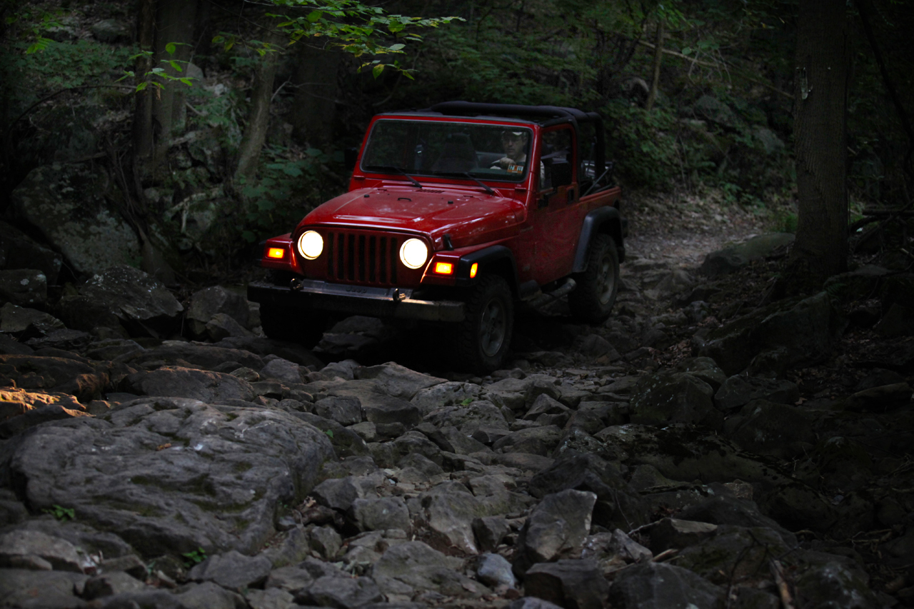
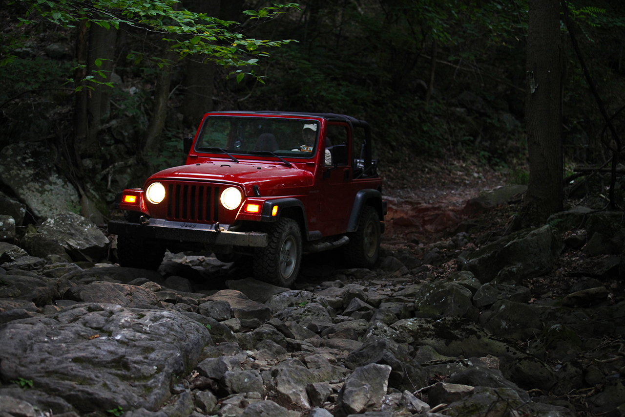
before it got dark. Even though it was only about 6:45pm, as can
be seen from the pictures, the tree canopy and the light of the day
meant it was already getting darker on the trail.
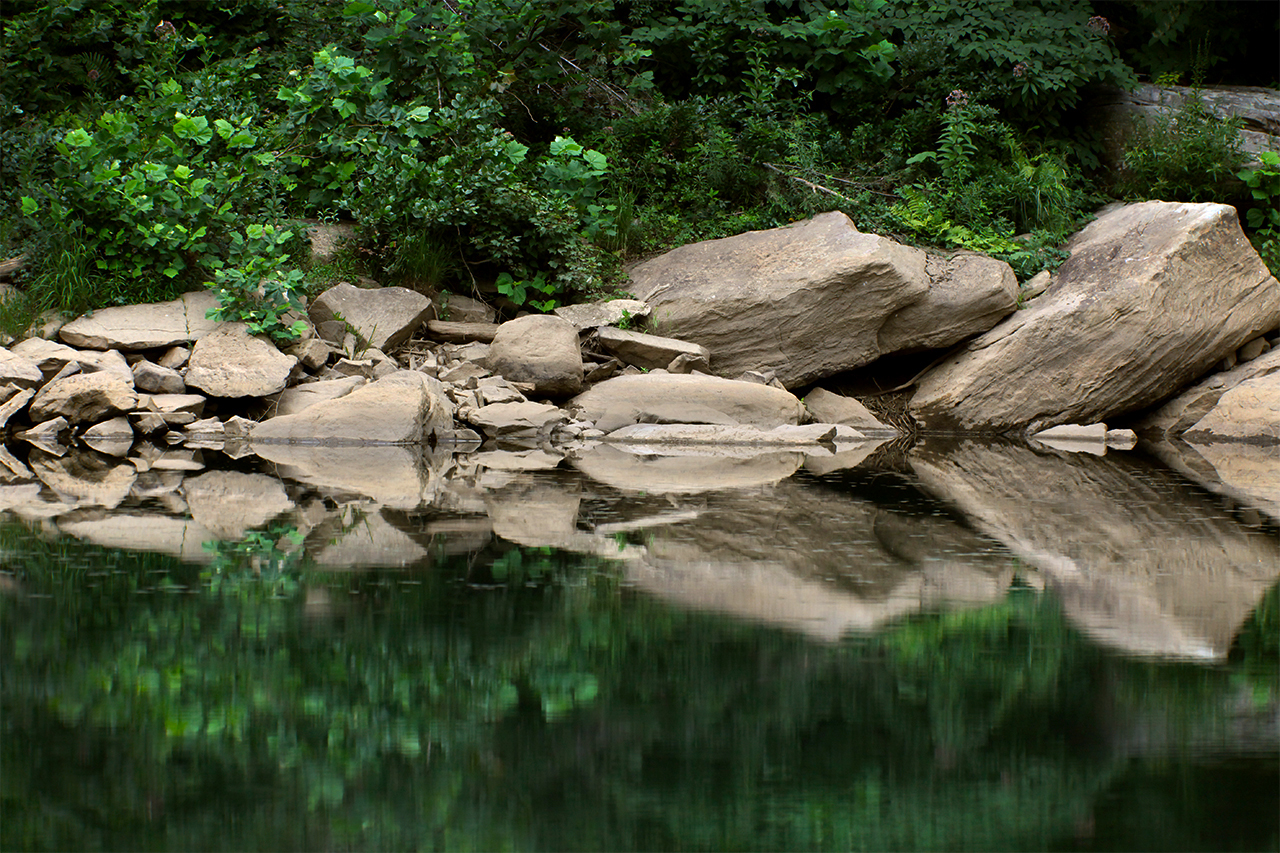
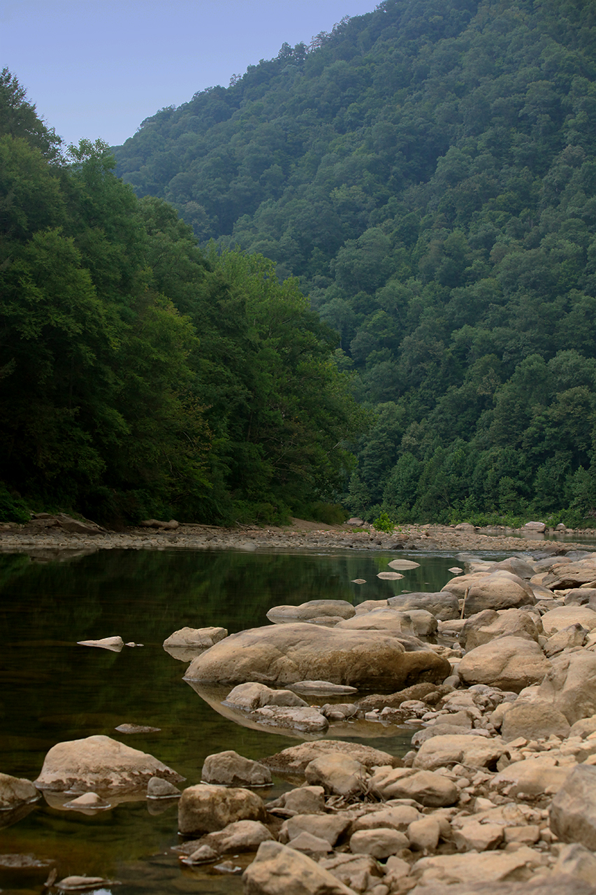
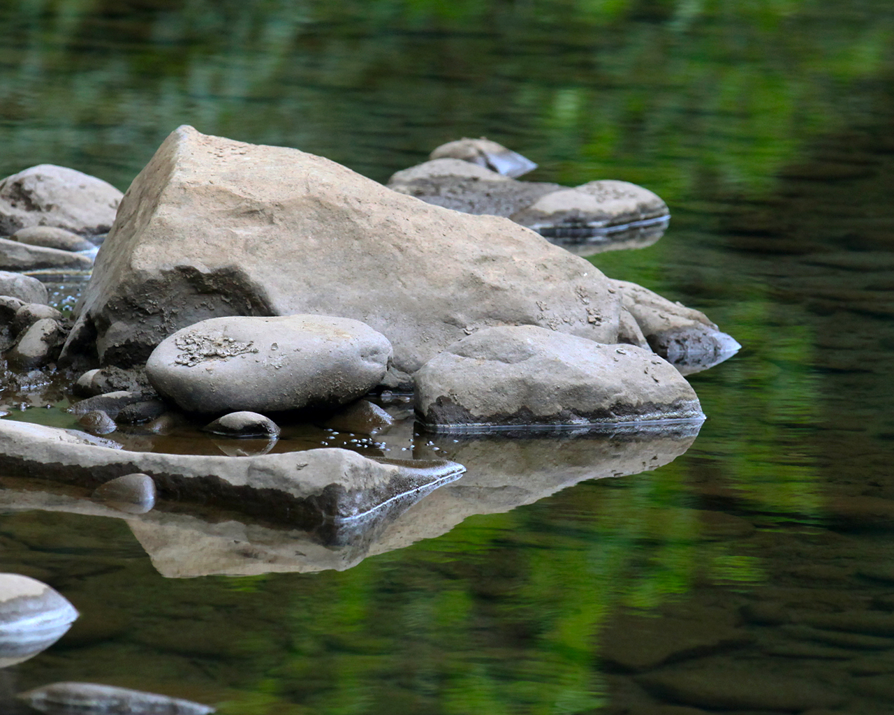
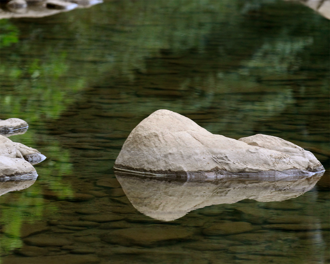
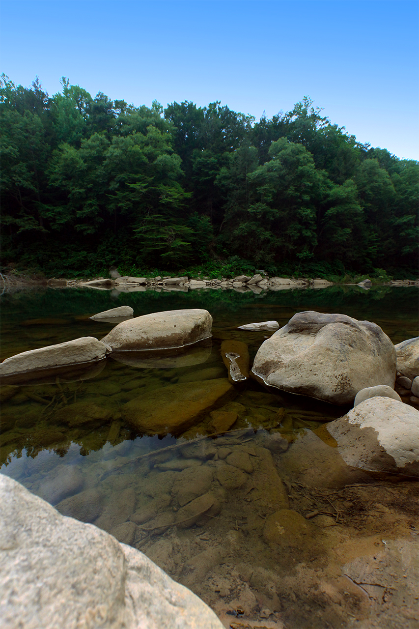
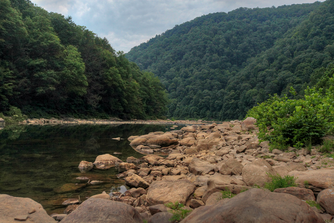
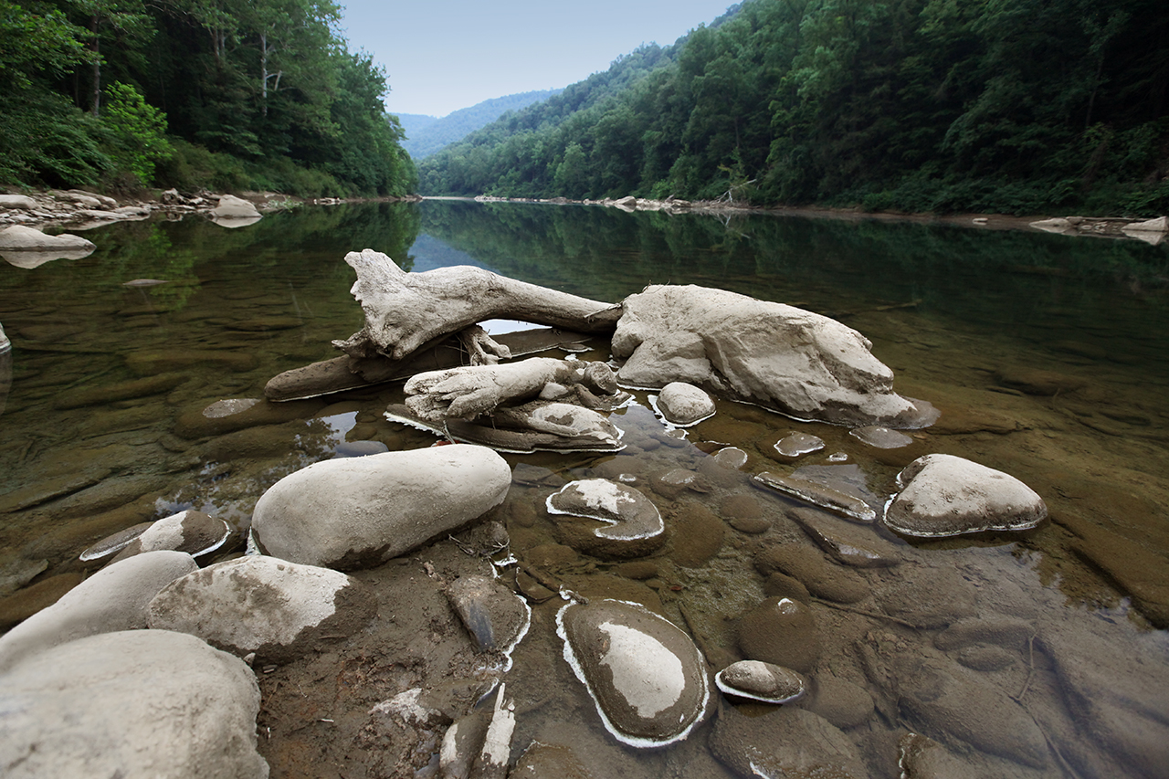
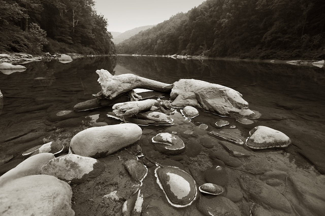
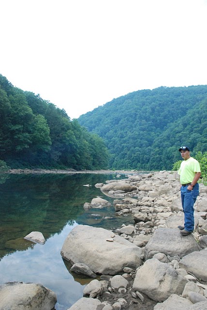
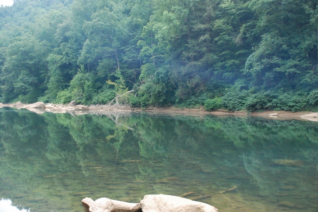
We reached the
bottom and found that indeed, the people we encountered had taken over
the open area at the river, with a few tents, two pick-up trucks,
coolers, the works. We parked to one side and walked the short
distance to the river. Here are a few of the images I made.
Take 20, get one good one...
Then up to the
Jeeps...

And back up the
hill with the waning light...
The drive back to
pavement was uneventful. We made it across Christopher Run, under
the fallen trees and through all the uneven terrain and mud.
Epilogue
We took Quarry Run
road. I took the opportunity to run the spur the climbs up through
the woods, probably the old road until it got so gnarly... We
popped out on Route 857 where Ross treated us to an air compressor.
We connected our sway bars and called it good. There's nothing
like a good day in the woods with friends. Thanks to Sam and Ross
for adding to this a great day!
  
|