![]()
![]()
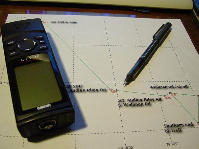
My GPS
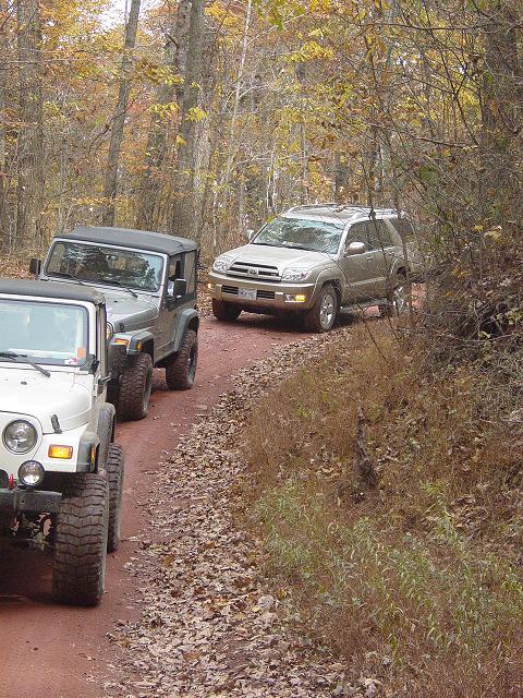
Trail...
|
|
 |
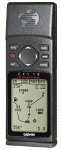
6/29/2001 - GPS 12 (my first GPS)
|
|
|
|
 |
|
 |
|
![]()
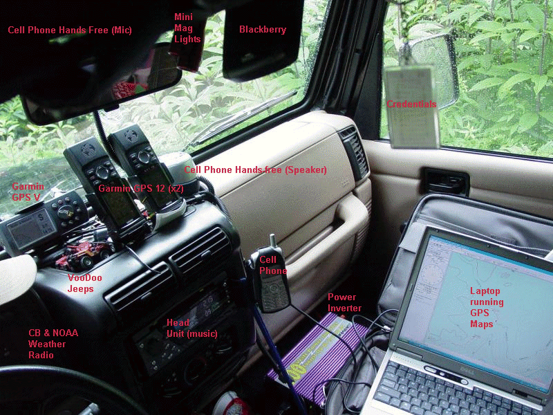
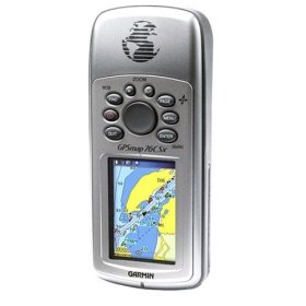
GPS 12 | GPS V | GPSMap 76CSx | Why Three GPSr's? | Palm m100
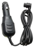
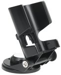
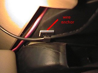
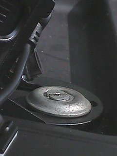
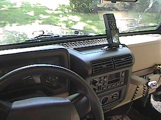
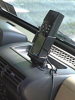
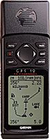
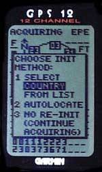
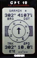
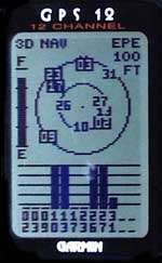
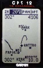
Garmin GPS12
|
|
|
Navigation
|
|
 |
 |
|
|
 |
 |
Software
|
Software
|
|
|
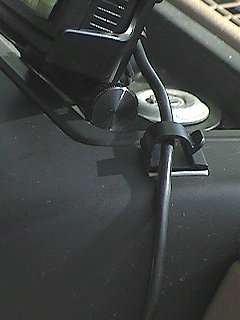
Installation
|
|
GPS 12 | GPS V | GPSMap 76CSx | Why Three GPSr's? | Palm m100
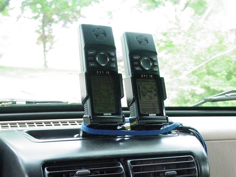
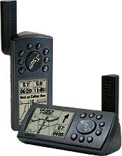
Second GPS12 - Update: 5/7/04
|
GPS 12 | GPS V | GPSMap 76CSx | Why Three GPSr's? | Palm m100
GPS 12 | GPS V | GPSMap 76CSx | Why Three GPSr's? | Palm m100
Trip Data
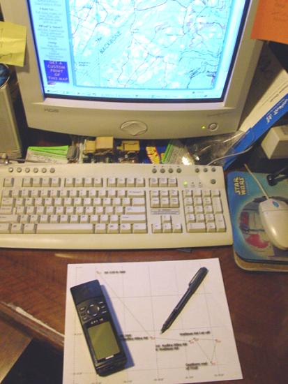
TopoZone and Trip Planning
|
||||||||||||||||||||||||||||||||||||||||||||||||||||||||
|
GPS Data
Sample GPS Data Page
GPS Waypoints Green Ridge State Park Waypoint List
Trip
Reports (Note: Actual GPS data pages will contain live links to actual trail
reports
GPS Waypoint Data Green Ridge State Park Waypoint List Purchase
GPS Waypoint
data and access to topographic maps
|
GPS 12 | GPS V | GPSMap 76CSx | Why Three GPSr's? | Palm m100
Return to Jeep Specs Page
Photos, Layout and
Design © 2001, 2002, 2003, 2004, 2005, 2006, 2007 Paul M.
Provencher All Rights Reserved.
Contents of this Web Site may not be used without written permission
Visitors since 5/29/07